A park by any other name…would be easier to pronounce. When I pulled up to the gatehouse, I asked the nice young lady how to pronounce the name of their park. She said very clearly – “oh-BAH-she”. This is the English pronunciation of what is the French word Ouabache. But Ouabache itself is a transliteration of the Miami Indian word waapaahšiiki. In French, “Ou” is pronounced close to a “w” like the French word for yes, Oui, pronounced (we). Also in French, the final e is almost never pronounced, so the French pronunciation would be close to “WAH-bash”. That sounds a lot like the name of the river which is the south border of the park. So you get to pick the name of this park: “oh-BAH-she” or “wah-PAH-seekee” or “WAH-bash.”
Name: Ouabache State Park
Location: 3 Miles Northeast of Bluffton, IN
Established: 1962
Size: 1,104 acres
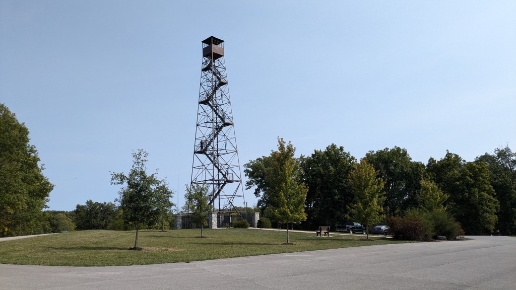
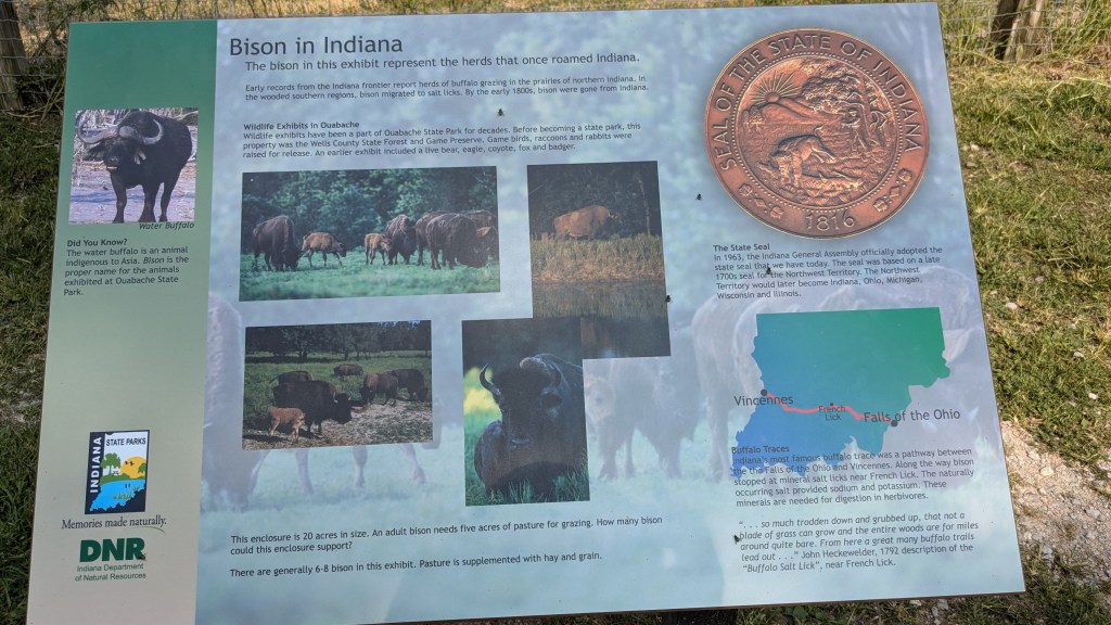
Known For: The park was built during the Great Depression by the CCC and was originally known as the Wells County State Forest and Game Preserve. It boasts having 6 bison living in a 20-acre pen, and a 100’ fire tower that you can climb. There is also a small lake for fishing.


My Day
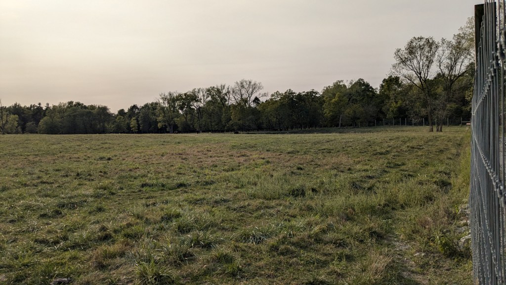
I went for a Sunday drive and ended up 3 hours away from home at this nice little park in northeast Indiana. I am down to just over a half dozen parks that I have not yet visited. As I mentioned above, when I drove up to the Gatehouse I asked the attendant how to pronounce the name of their park, and I was surprised by her answer “oh-BAH-she.” The park is only 1,000 acres, and its big claim to fame is the large pen with 6 bison. It was this area of the park that I headed to once I had my map.
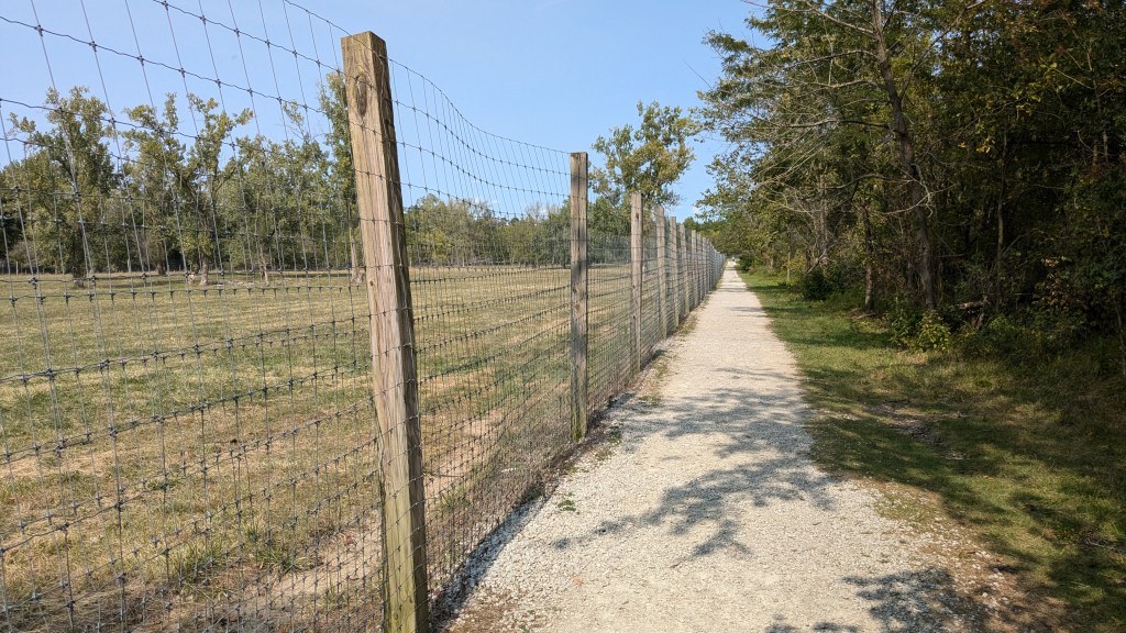
I parked next to the 100’ fire tower which looks in great shape, and might be nice to climb on another trip. This parking lot is also across from the 20-acre pen where the bison live. Trail 5 is the Challenge trail which loops around the entire park, and earns a T-Shirt for completing. In this section, Trail 5 runs along the back of this 20-acre pen. I decided to hike around the pen counterclockwise and then, when I returned at the end of my hike, I would continue that direction. Therefore, I would hike along the back of the pen twice and also make a complete loop around the pen. I figured this would be the best plan to make sure I saw the bison.
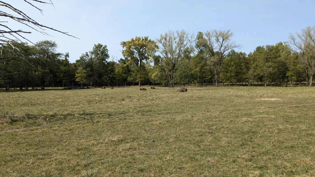
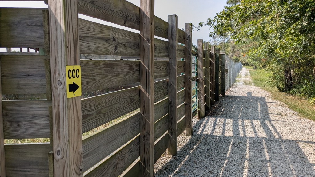
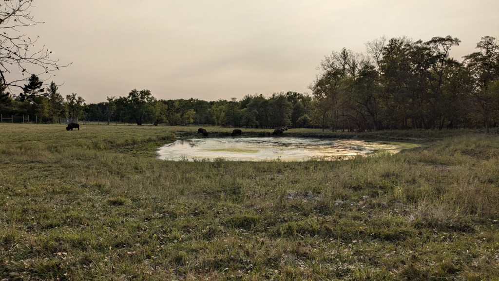
The pen was divided into a forward section and back section with a middle fence. All of the bison were in the back section. It was about 3pm, but they were still all lying down and resting in the heat. I was able to see the new baby bison sleeping next to their mom. My hope was that when I returned they would be more active. When I got to the back right corner, I saw a sign that said CCC with an arrow pointing to the right. The CCC (Civilian Conservation Corps) is the group in the 1930s that built this park, and the honorary name of Trail 5.
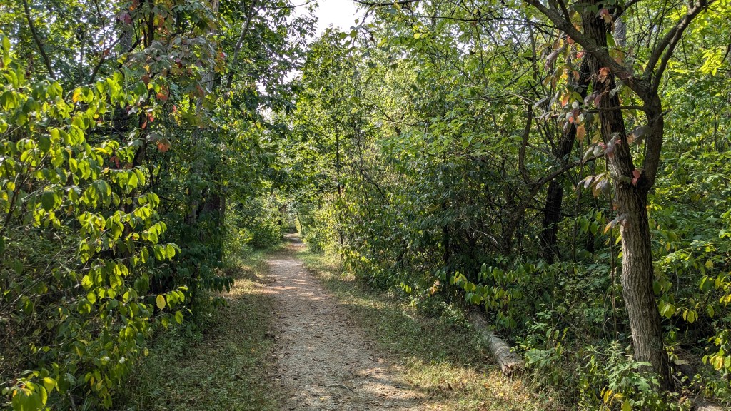
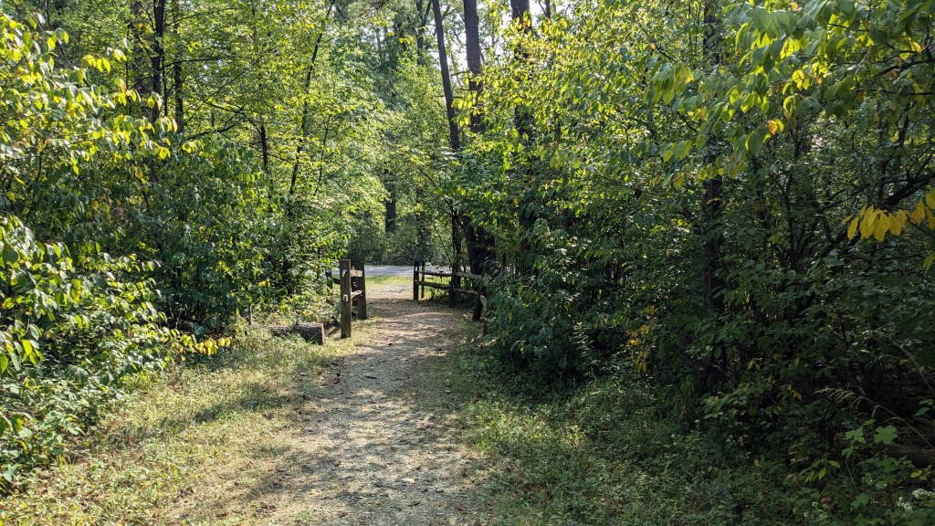
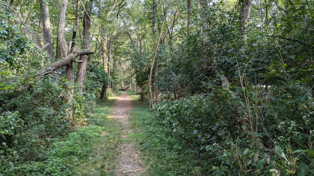
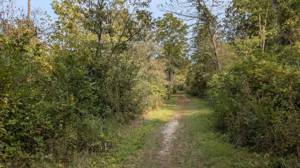
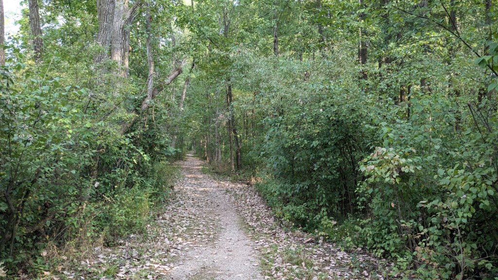
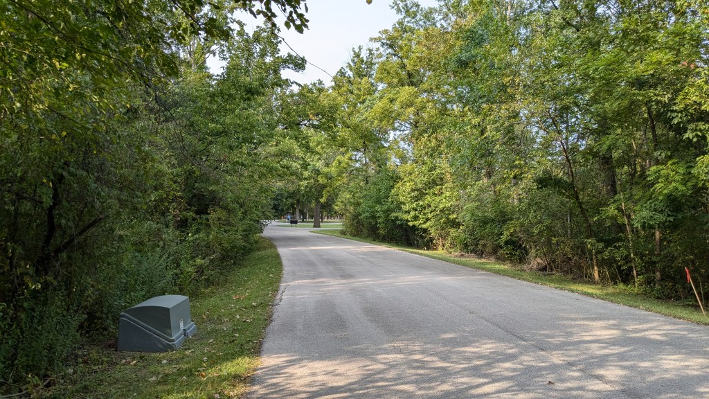
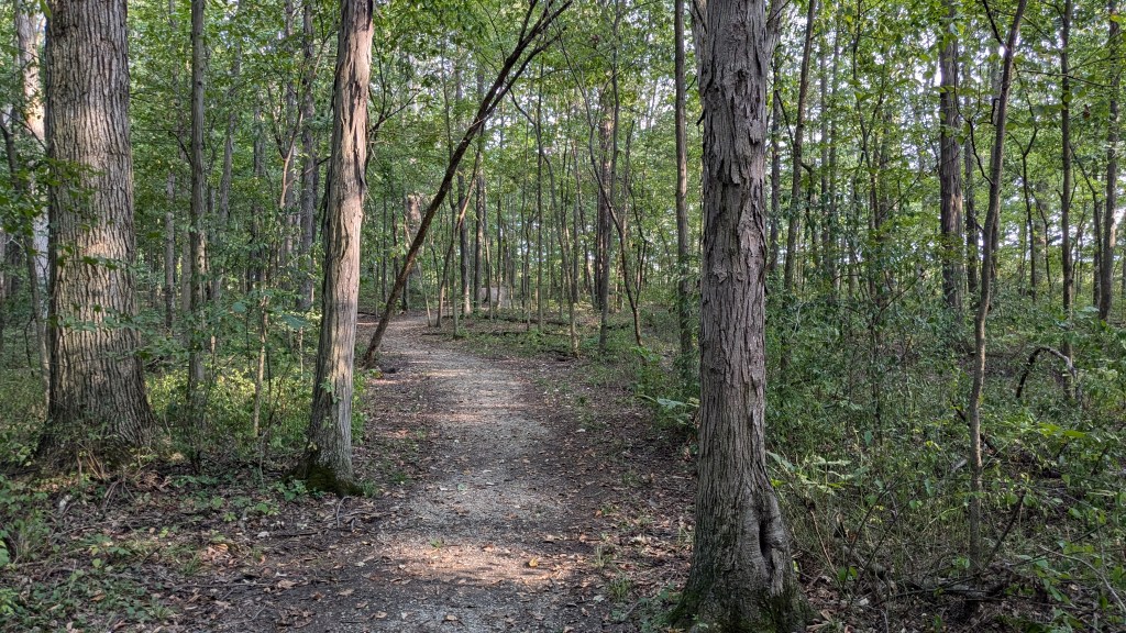
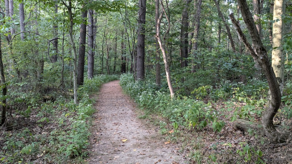
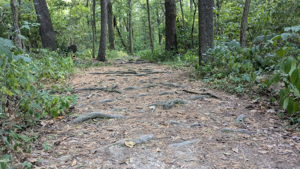
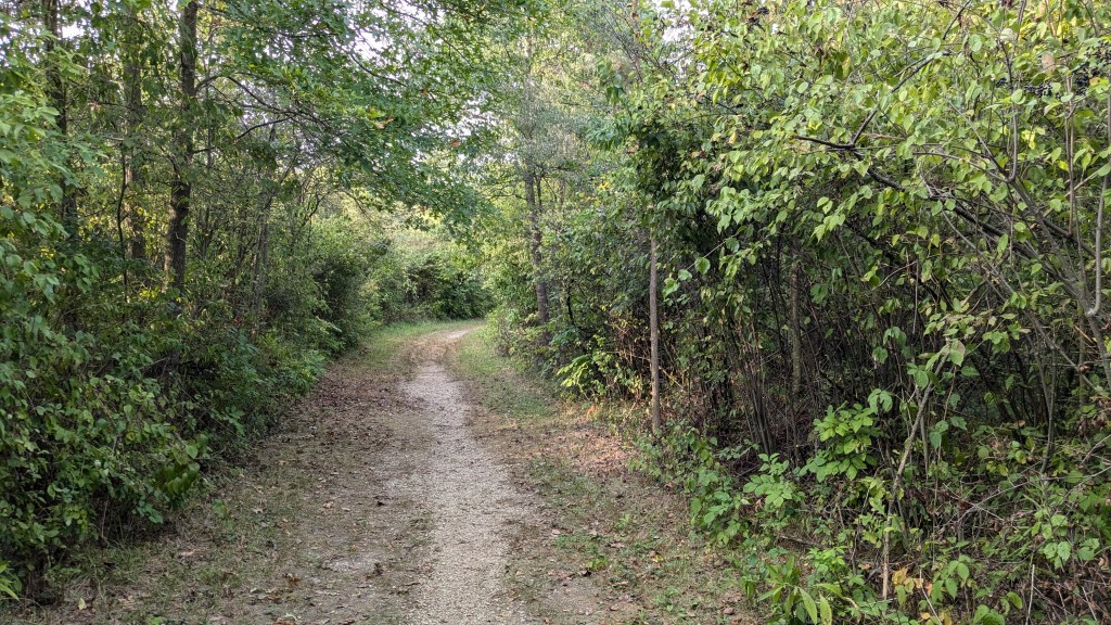
If there is one word I can use to describe Ouabache State Park, the word is flat. This park is very flat. There is almost no elevation change across the entire park. The trail was nearly wide enough to be a fire road, though I couldn’t see any signs of tire tracks. The trail was also mostly lined in small gravel. It was very well managed and very easy to follow and hike along. The signage is also quite good. I did not need a map to follow trail 5. I used the map, just to get an idea of where I was in the park.
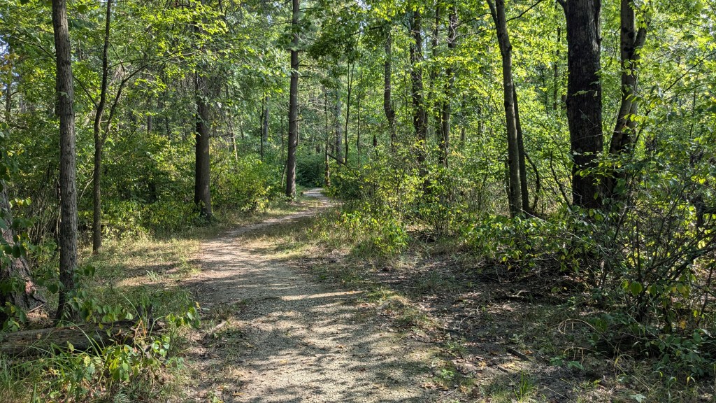
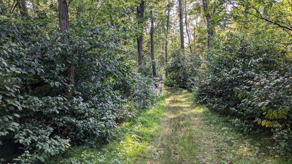
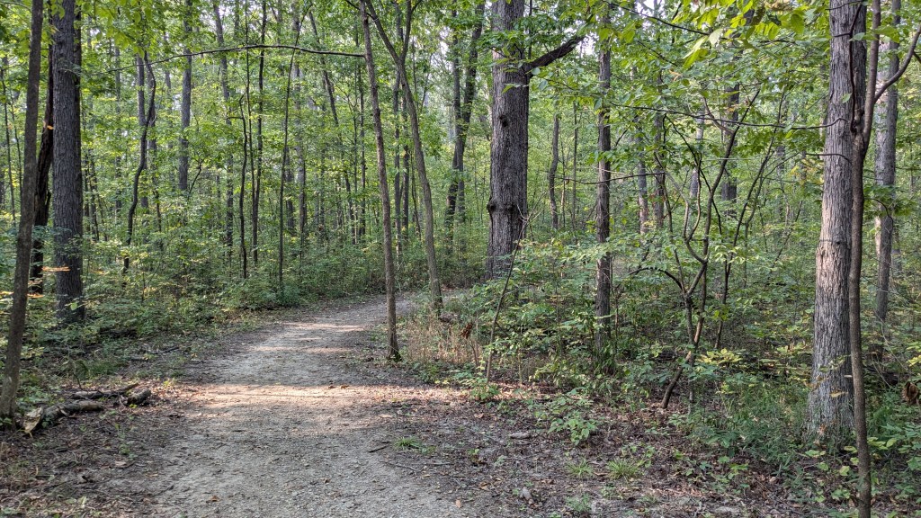
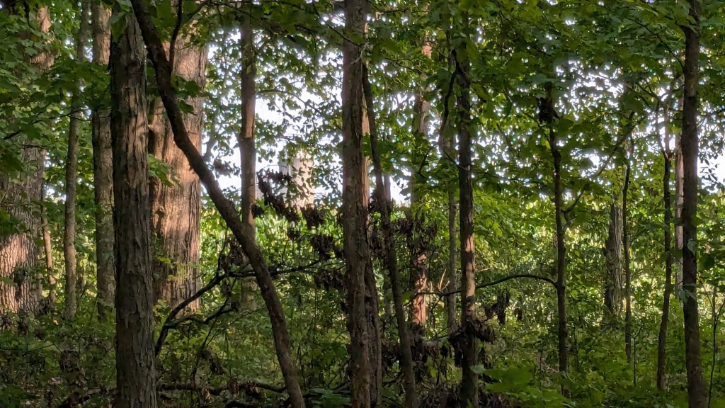
The woods changed every 50 yards from open meadow to new forest with a few small trees to a young forest with several small trees to a young adult forest with less undergrowth and several larger trees to Pine groves with no undergrowth. These would alternate every 50 yards, for a variety of different looks and feels as I hiked along.
This first section is part of a loop that runs from the back of the bison pen west toward the main gate. This section of the park between the north border of the park and the main road is fairly narrow, so the park border was to my right and not very far through the thick brush. I could hear shooting on a regular basis. Reading later, I learned that part of what the CCC built included a shooting range.
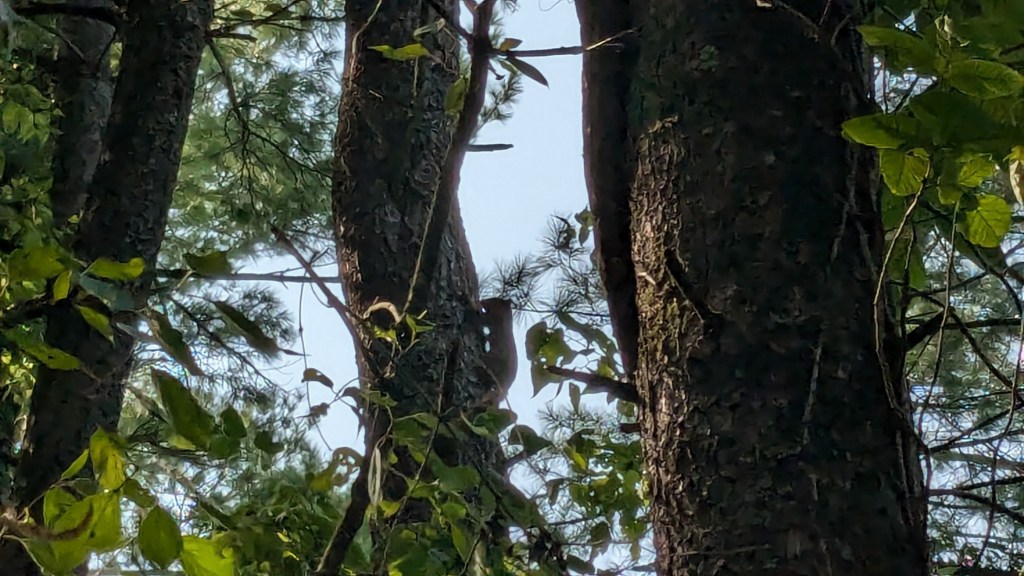
The path was nice and wide, so I wasn’t too surprised when a couple came by riding their bikes. I did think and later confirmed that the park rules prohibit bike riding on all trails in the park. I had stopped anyway while I tried to communicate with a squirrel to try and get a good picture. The squirrel was making a mighty noise of complaint letting everyone know that I was too close and needed to be on my way. I just wanted a picture.
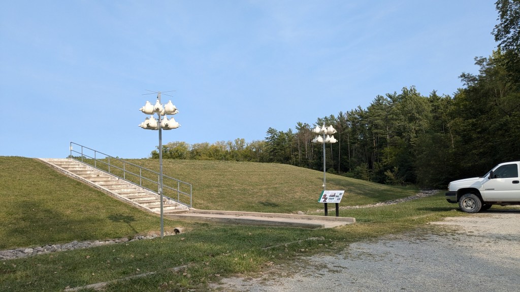
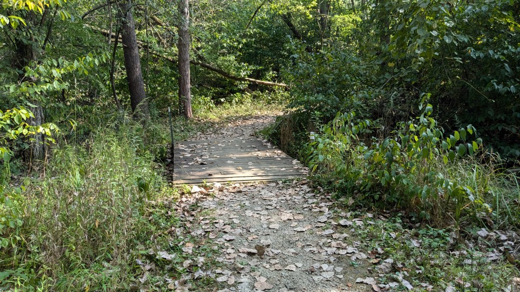
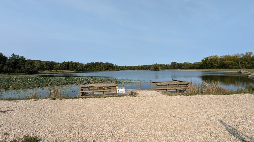
As the loop turns and comes back from this section, you pass within sight of the main gate about a 100’ in a young adult tree section with less undergrowth. A lot of Trail 5 is made up of parts of the other trails in the park. In this section, that is Trail 4. Paralleling the main road into the park, Trail 5 and 4 come to the dam holding the small lake in the center of the park. I climbed the staircase up the side of the dam so I could get a picture of the lake. There were man-made bird nests on either side of the stairs, but I didn’t see any birds.
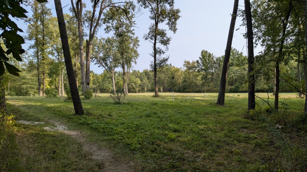
From here, Trail 5 continues to parallel the road until it comes to an area that has been set aside for planting and reforestation. This is about an acre of space that is dotted with young trees which still had the white tubes on their trunks to protect them. There was a sign as I drove in about the work being done here, but I did not get a picture of it, so I am not sure what the overall goal for this area is.
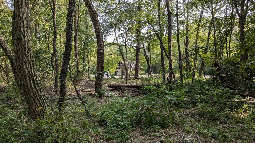
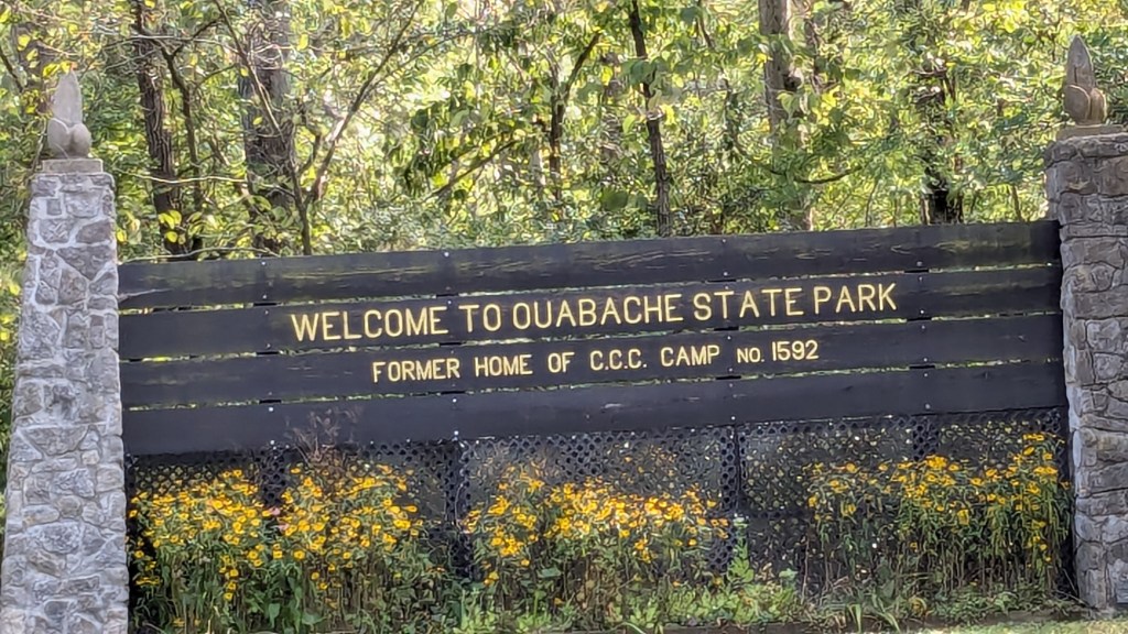
At the far end of this area, the trail turns and crosses the main road. On the far side of the road, there was only the second sign that said CCC. This sign pointed along the road. The only reason I could see as to why it pointed left instead of following Trail 5, is because about 100’ down the road, opposite of the grove I just passed, is the official sign for the park, which also mentioned its CCC roots and history. I took a close up picture of the sign before returning to the trail and continuing my journey.
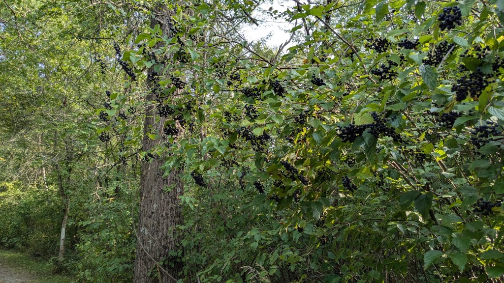
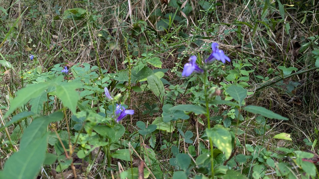
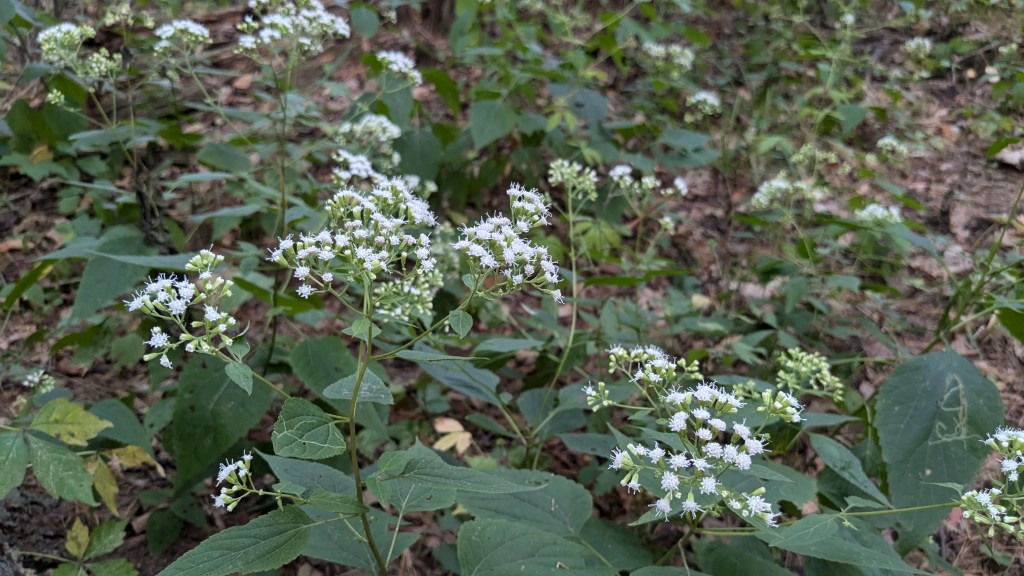
From here, Trail 5 travels parallel to the southern border of the park, which is the Wabash river. I was surprised to find that the trail never gets close to the river itself. In fact, none of the trails or roads in the park lead to the river itself. The area along the river seems to be a protected area with no access. Along this part of the trail there were lots of large bushes filled with black colored berries. I didn’t try any.
The next road that the trail crosses is near the campground. Trail 5 circles around the campground which is right up against the east border of the park. For the next mile or more, I could see the cornfields of private property through the 50 to 100 feet of forest bordering the park.
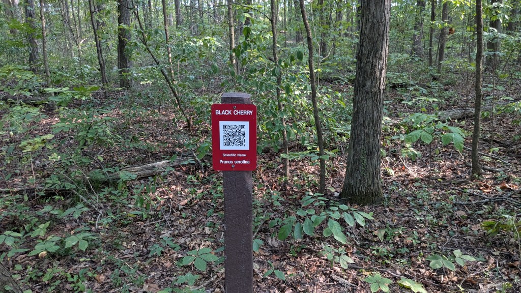
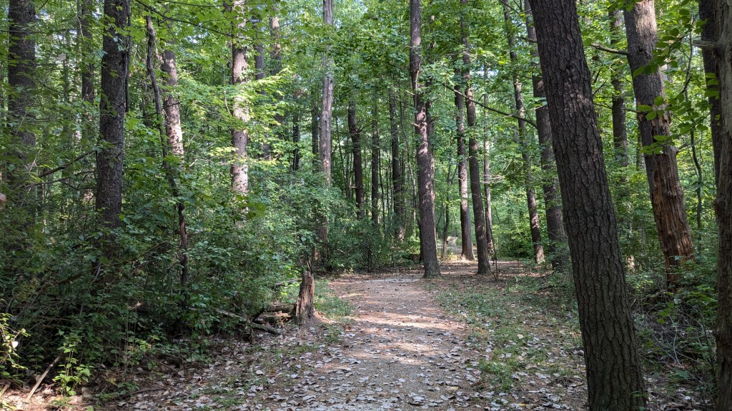
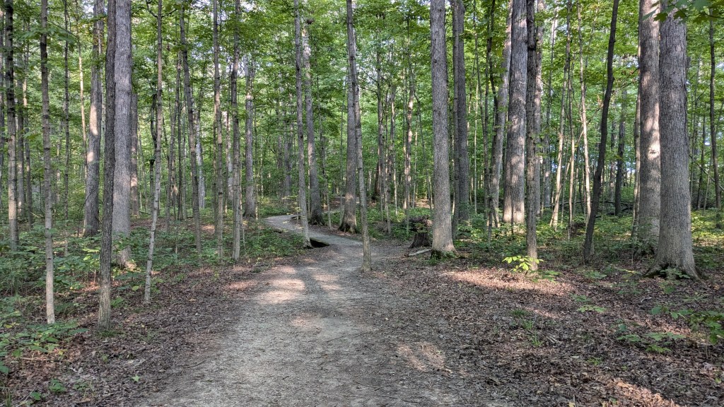
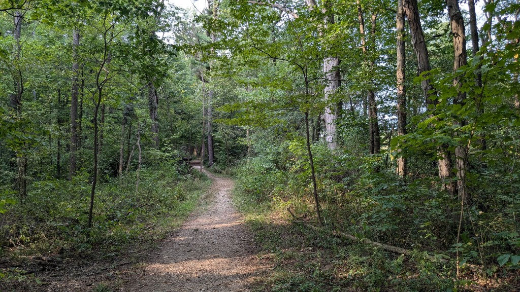
Once I was past the campground, Trail 5 joins Trail 3 which is a nice nature trail through the mixed forest of pines and other trees. Instead of needing a map, each stop on the nature trail was posted with the name of the tree it was near and then a QR code to see more information. Being a very flat area of Indiana, getting a signal was not hard at any point in the park.
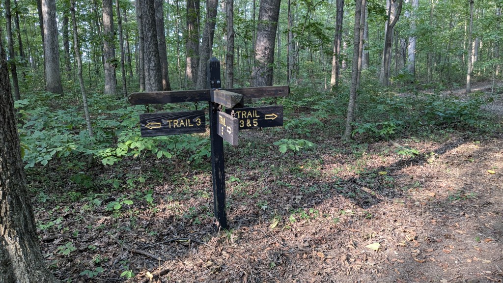
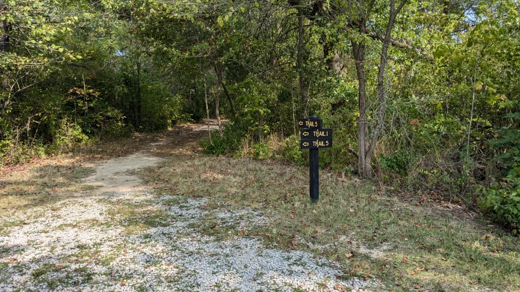
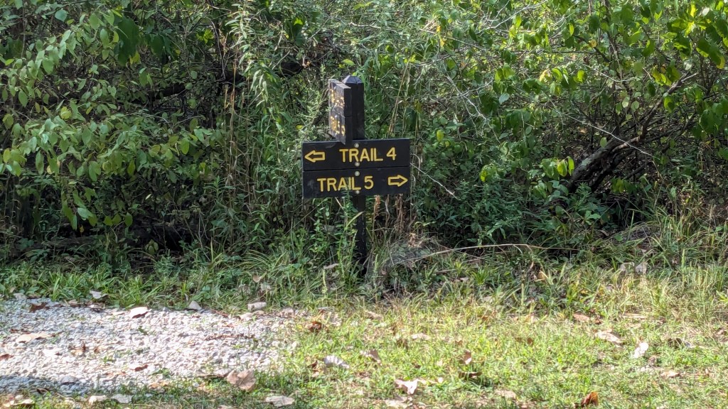
In this section, I found the nicest and fanciest trail junction signs of any park in Indiana and perhaps anywhere. I have seen nice signs at Trailheads where you park, but there were two signs at trail junctions in the middle of the woods made out of large pieces of wood hanging from posts with clear information for all three directions.
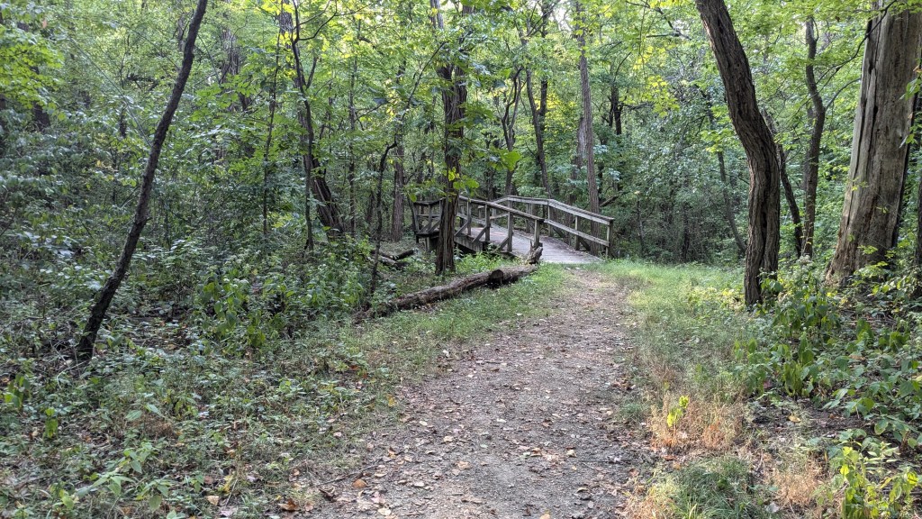
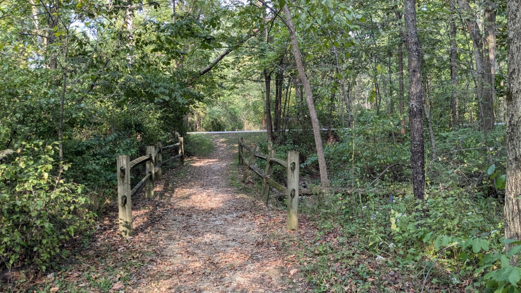
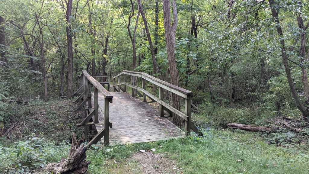
Most of the nature trail followed a peninsula of the park which sticks out to the east. When I got back to the main east border, Trail 5 turned right to continue along the East border and then turned and followed along the north border back toward the bison pen where I started. This section is also part of Trail 2. It includes one of the few wooden bridges in the park, which crossed a mostly dried up stream.
Shortly after I crossed the stream, I saw just a moment of the white tail and the quick hop of a deer as it saw me and jumped back into the woods. I quietly walked up to the area where I saw the deer, but there was no sign as I peered back through the medium dense forest. I stood still there for a minute or two hoping to see him, but that was not to be.
The trail continued on once again alternating between different ages of forest. By now, it was after 7pm and the sun was lower in the sky which made for interesting shadows on the trees and kept me watching for interesting pictures to take. Eventually, the trail came back to the northeast corner of the bison pen where I had first met up with Trail 5.
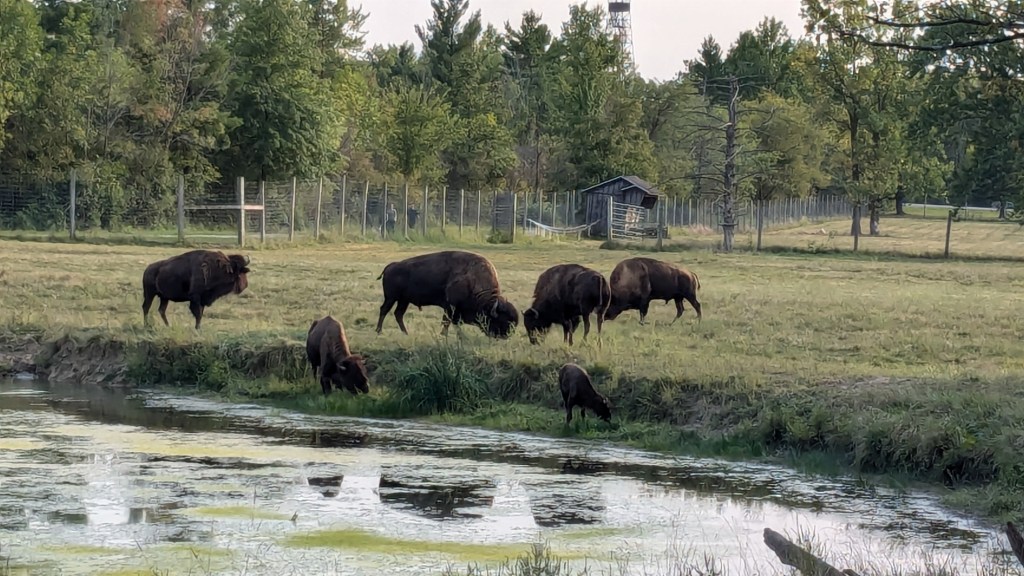
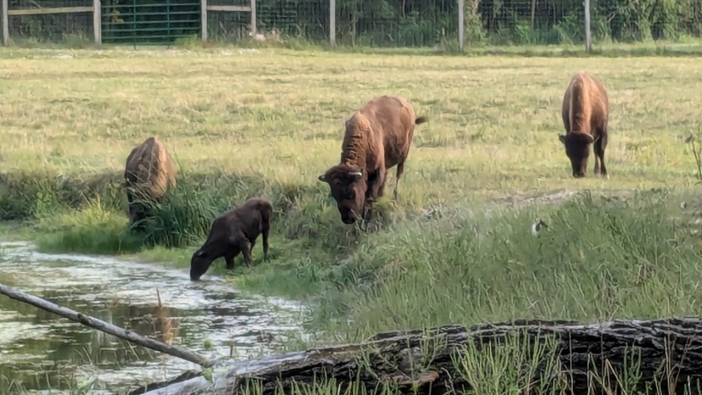
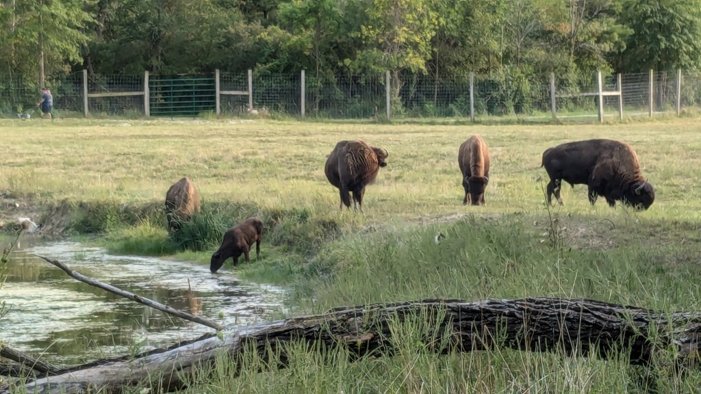
This time viewing the Bison pen, I was rewarded because all of the Bison were awake and had come to the pond at this end of the pen for a much needed drink. I stayed here quite a while taking pictures and videos, especially of the baby bison as it drank and worked to navigate the small, but steep bank around the pond.
Eventually, I had seen enough and walked along the west border of the pen, back to the front where the parking lot was and my car. About halfway down, I scared a groundhog who lived inside the pen. He ran across the field into a large pile of tree trunks and branches in the middle of the field. Of course, he moved too fast for me to get a photo; and in the shadows, I’m not sure how good the photo would have been anyway.
When I got to the parking lot, I turned around and was surprised to see that the bison had all followed me to the front. I wasn’t even aware that they could travel between the back and front sections. I would have gone over and taken even more close up pictures, but I had a long drive home. Not only did I hike in Ouabache State Park, but by hiking Trail 5 I also hiked at least part of all 5 trails, and completed their health and fitness challenge. I will be receiving my shirt for completing the challenge in a couple of weeks.
