I always thought Shakamak was a cool name. It’s fun to say. Shakamak is believed to be the Kickapoo or Napale word for “river of the long fish” referring to nearby Eel River. It is now the name of one of the 3 lakes in Shakamak State Park. The park contains 3 separate lakes which are separated from each other by earthen dams.
Name: Shakamak State Park
Location: 3 miles north of Jasonville, IN
Established: 1929
Size: 1,766 acres
Known For: Fishing and small boating in the 3 lakes that make up the park. There are many family cabins spread throughout the park


The Day

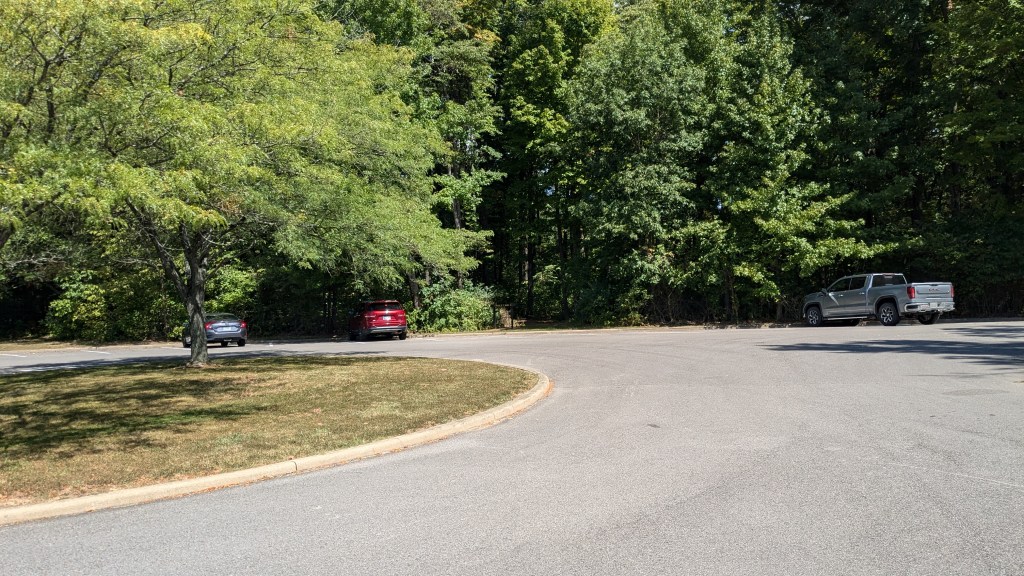
For the first time in a long time, I had an entire day off with no other plans, and no commitments to be somewhere. I slept in, but still had plenty of time for the 2 and a half hour drive to the park. Shakamak State Park is literally at the very north end of Jasonville. I drove into the park getting my usual map from the nice gate attendant. I had planned ahead enough to know that I wanted to park in the large parking lot near the pool. When I got there, I parked near the center of the parking lot.
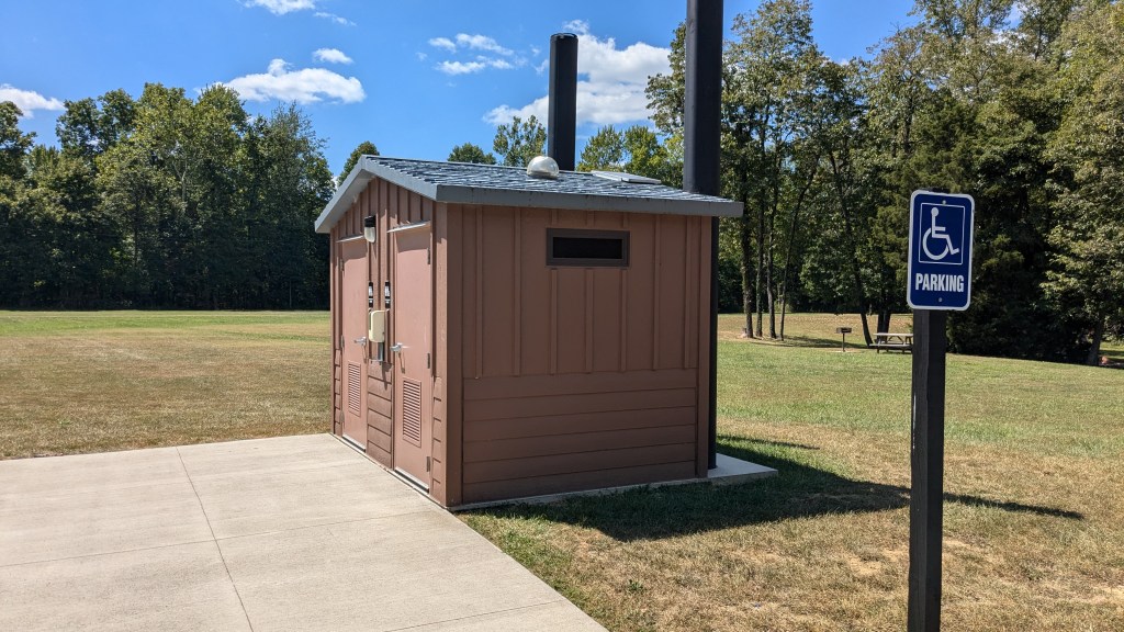
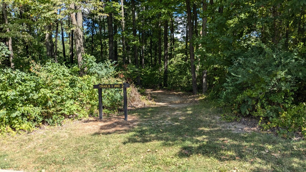
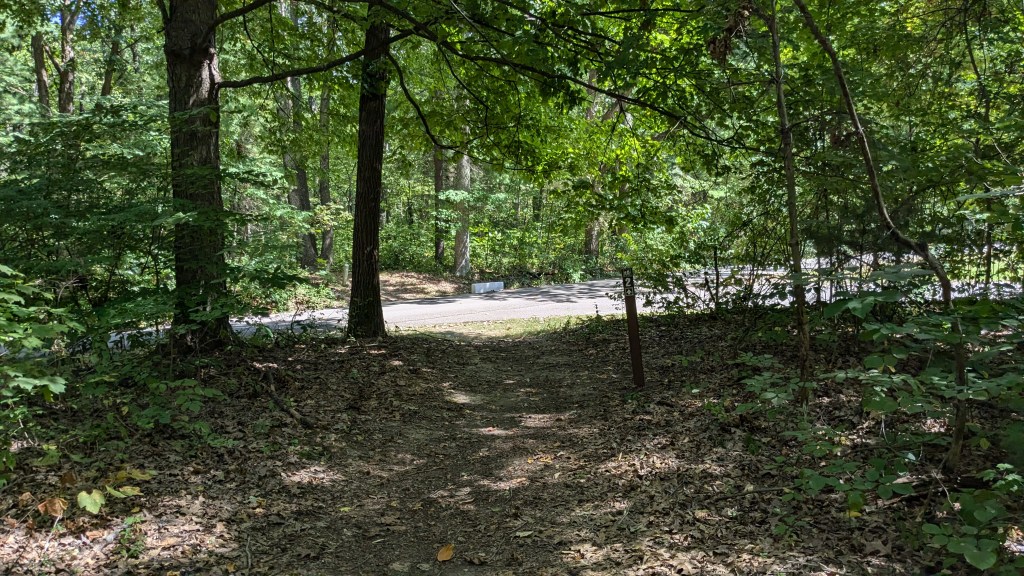
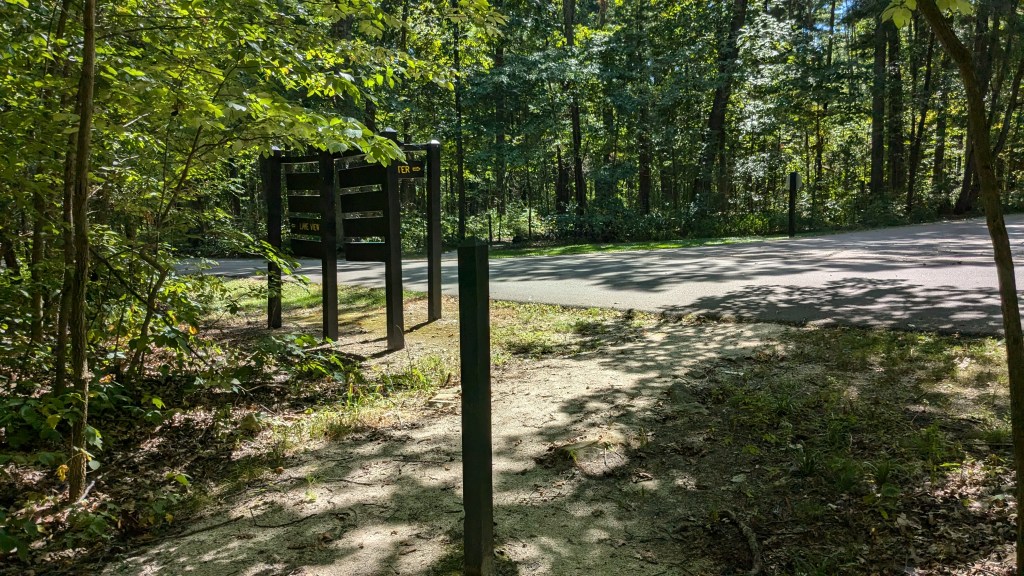
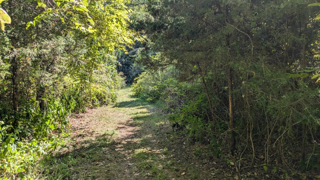
The parking lot here is large and divided into two sections. Near the middle was a nice bathroom which was a nice sight after a 2 ½ hour drive. When I came out of the bathroom, I looked across the parking lot and there was a large sign saying “Trails 1 and 2.” I was hopeful seeing such a large clear sign. Trails 1, 5, and 4 go around each of the 3 lakes in the park. I decided, however, to start with Trail 2, which looped through the woods before meeting back up with Trail 1 near the lake.

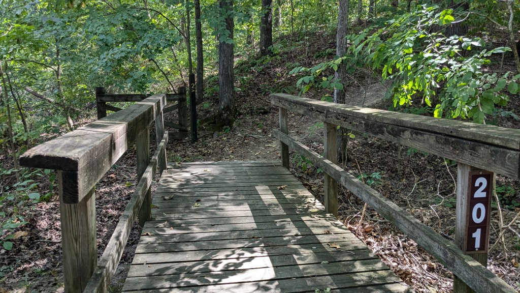
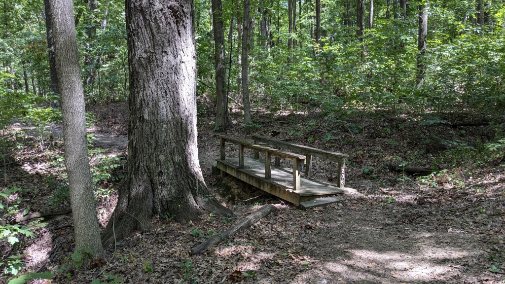
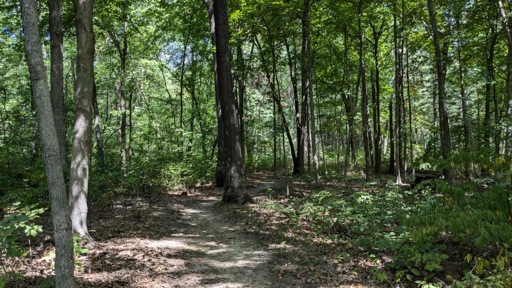
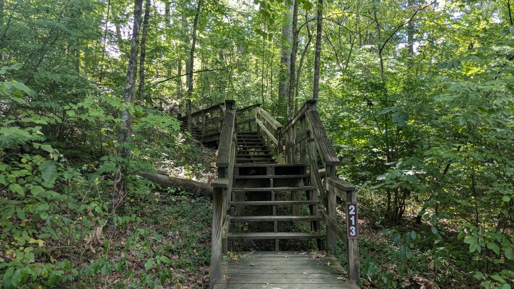
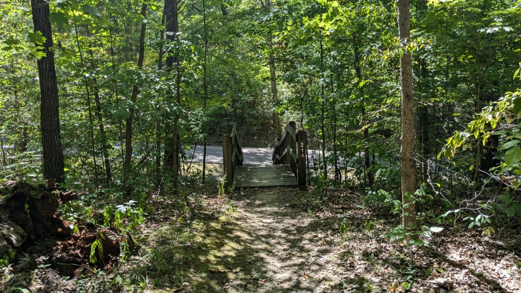
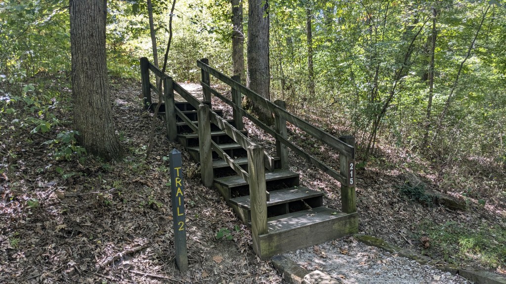
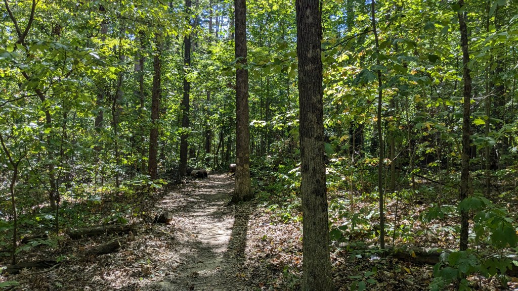
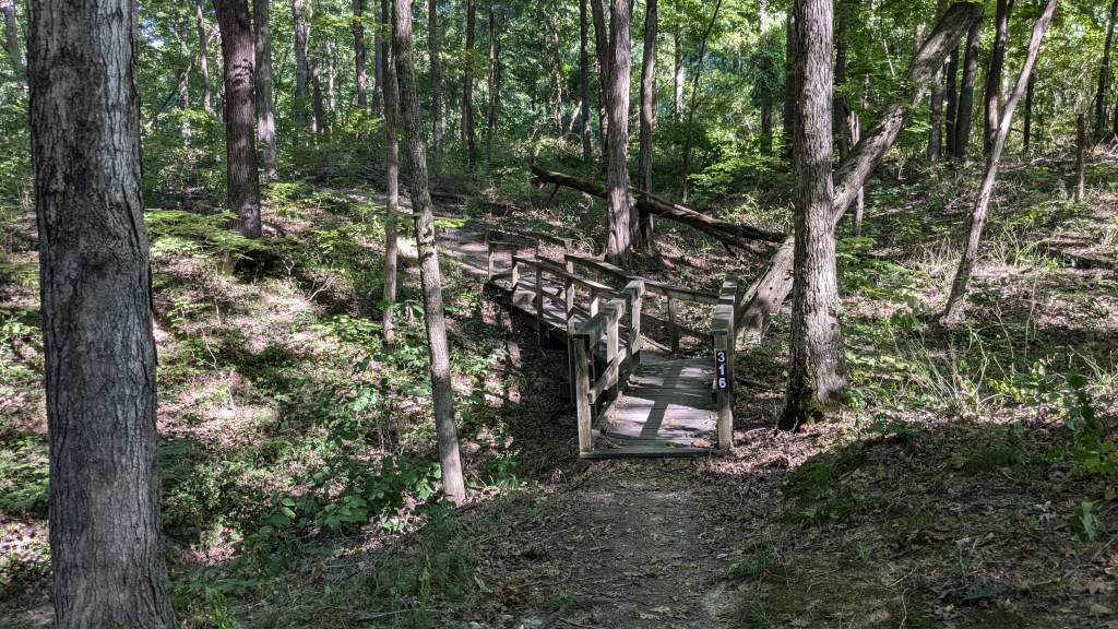
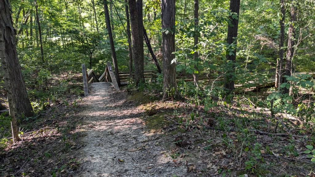
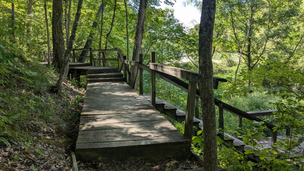
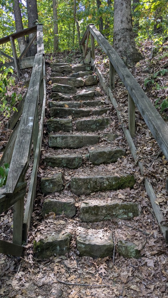
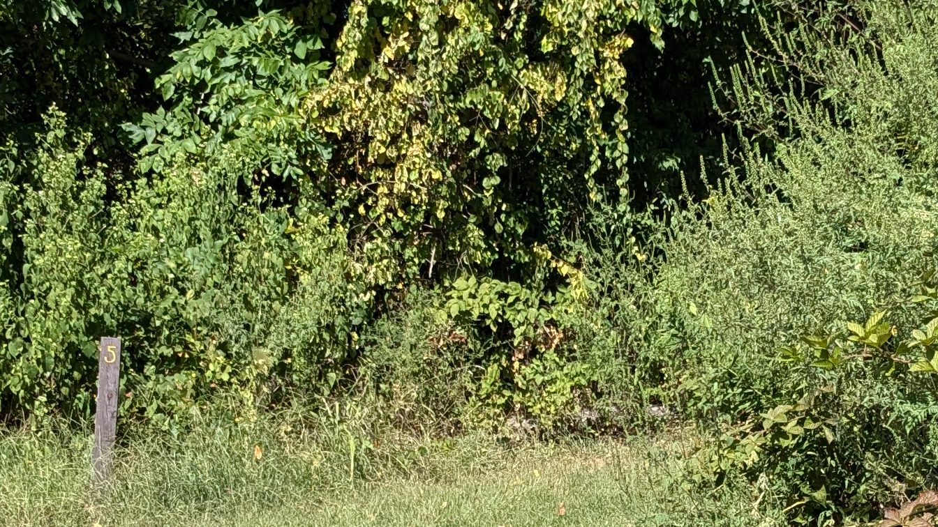
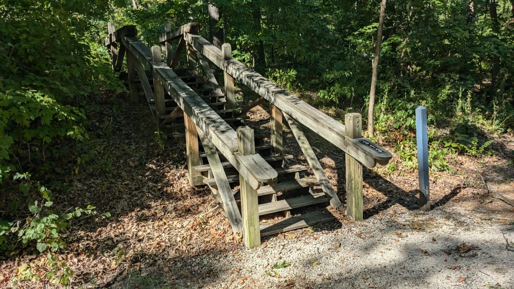
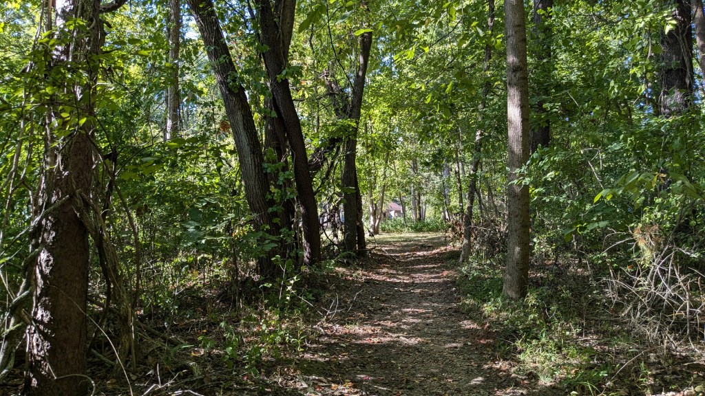
I began my usual counterclockwise travel as I headed down Trail 2 which is in the northeast corner of the park. The trail crossed and then paralleled the road into the Group Campground. It also runs close to the northeast border of the park. At one point, in a clearing for a powerline, I could see cars pass on the highway outside the park. The first thing I noticed is that each bridge or wooden walkway, of which there were many, was clearly labeled with a number. Trail 2 bridges were all labeled sequentially in the 200s. This was helpful to confirm with each bridge that I was indeed on the right trail, though there was little chance that I would get lost.
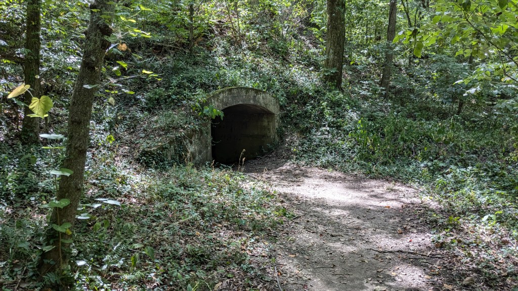
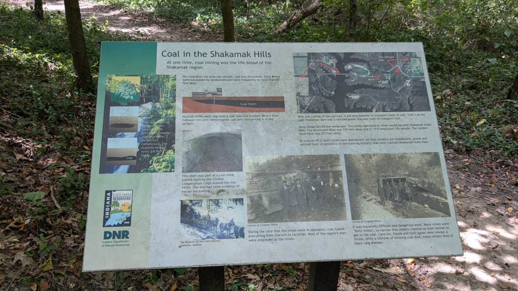
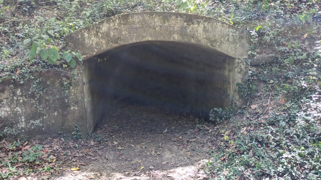
The main feature of Trail 2 is an abandoned coal mine that the trail passes. With the sunlight and the dark inside, it looked like it was a wide open tunnel, but just 5′ back the dirt slopes up and fills the tunnel. I can imagine though that there is just enough space for someone to hide and scare their hiking companions. Not that I am suggesting anyone do that.
Trail 2 circles around the Group Campground and then eventually meets up with Trail 1 again alongside Shakamak Lake. At this junction, there was a sign for Trail 1 hikers guiding them to stay on Trail 1, , but there was no sign to help Trail 2 hikers to stay on Trail 2. Someone had used a marker to put a small 2 and an arrow on one of the posts, but there was nothing official. Had I been coming from another direction, I might have been confused about that. As it was, I knew that I would generally be traveling counterclockwise and that left only one option when I came to the lake, turn right.
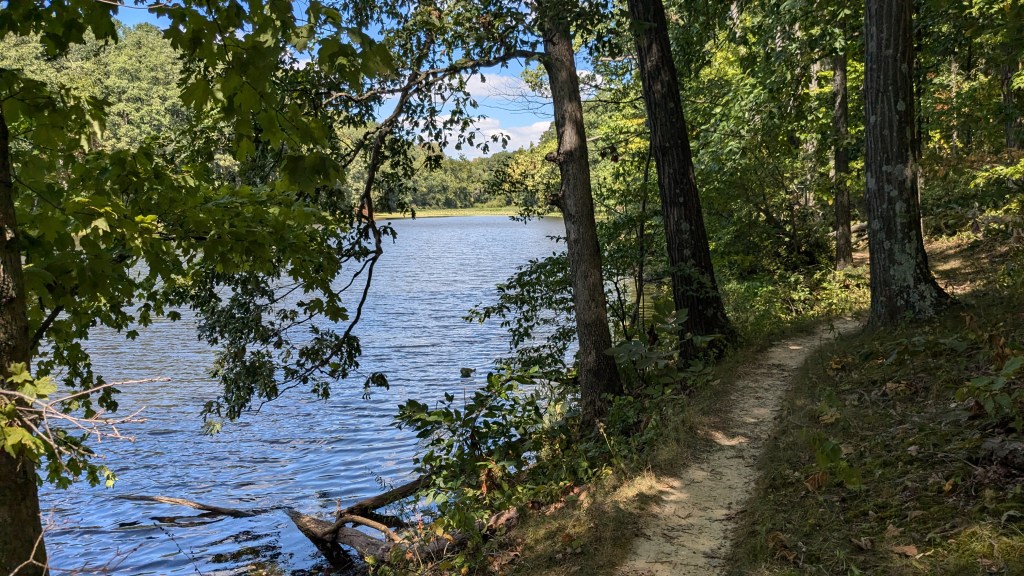
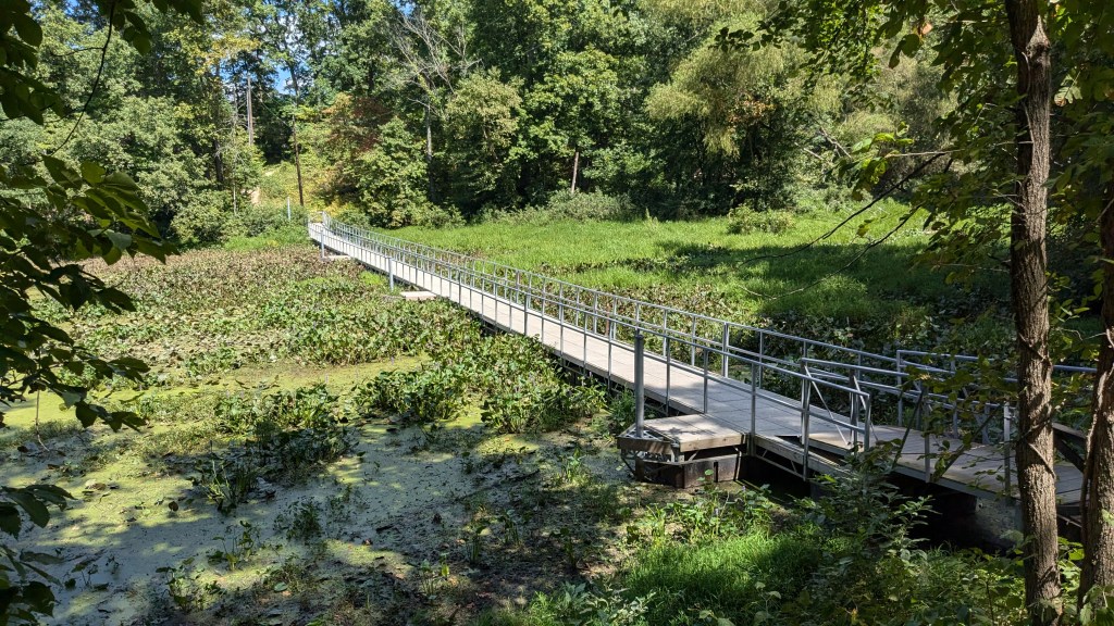
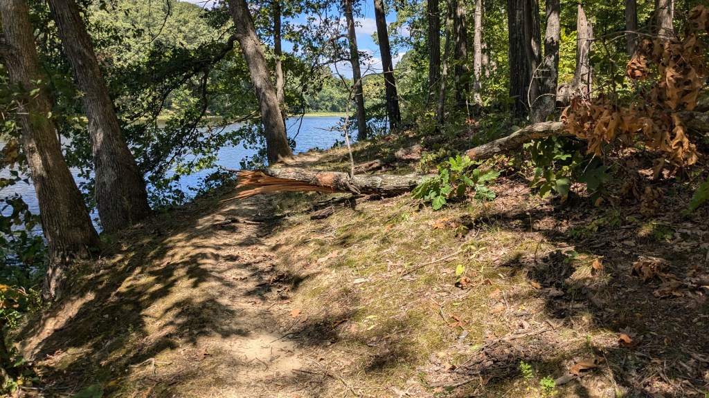
Turning right onto Trail 1, I went across a long wooden walkway over the swampy water at this part of the lake. It was actually far back into a finger of the lake where I crossed. On the other side, the trail turned left and followed right along the edge of the water. This is pretty much what Trail 1 does. It follows the shoreline just a few feet from water, which meant it was constantly curving in and out as the contour of the shore followed the uneven line of the water. Occasionally this would be a 50 foot or more diversion until a bridge would cross the small ravine and then the trail would follow the water back out to the main lake.

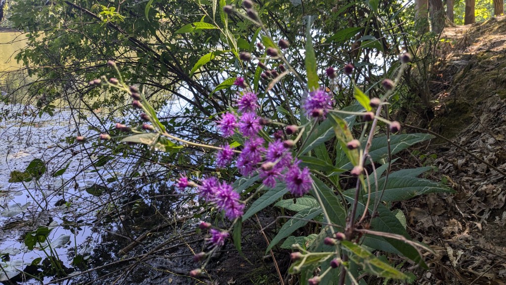
On the lake, there were 2 or 3 families paddle boating. I passed a few families who were enjoying their Labor Day by hiking like me. I also saw one man in a kayak who was fishing near the shore. The lake itself had a small central part and 4 long fingers of water which stretched out in all directions. Trail 1 follows the shore of three of these before it finally leaves the water’s edge and traverses around the family cabins area and crosses the dam at the south end of the lake.
Trail 1 leaves the shoreline because the shore along this 4th finger is lined with docks connected to family cabins located on the hill above. The cabins have private use of the shore and docks since there is no trail running along the shoreline. Trail 1 heads up away from the water and circles near the West Shelter. At this point, I left Trail 1 and walked south along the main road. For some reason, there is no trail that parallels the road connecting Trail 1 to Trail 5. This is something they should consider, even if at a few places it would have to be very close to the road.
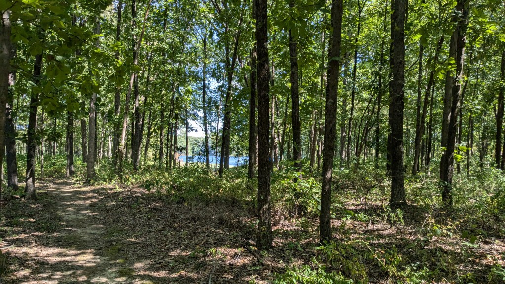
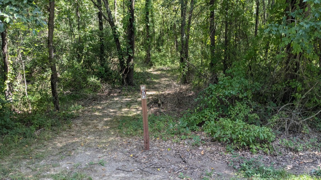
I crossed my first of 3 dams and then found Trail 5 with no problem. There was another large sign as I had seen all over the park. So far, with the bridges and stairs being numbered and the general placement of signs, I had been pretty happy. Trail 5 leads around Lake Kickapoo, but unlike Trail 1, it does not follow the shoreline. Instead it followed a wider circle around the lake. This meant it was straighter, more level, and in general easier to hike. Only the small fingers of the lake came close to the trail and only in a few places could I get any kind of photo of the lake.
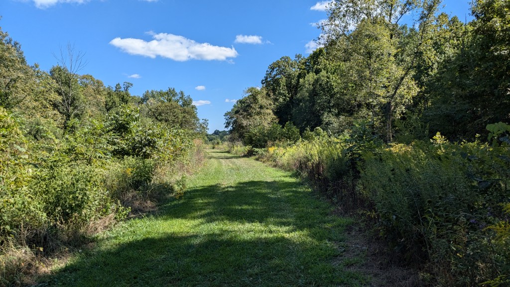
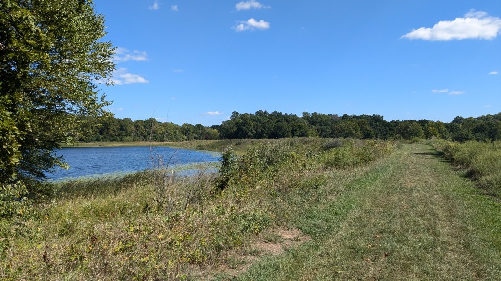
Trail 5 then came to a turn when it met with a wide grassy trail. This trail led in both directions, but again, knowing I was circling the lake made it clear which way to go. My guess was that the trail in the other direction led to a gate where the mower could get in and keep this part of the trail cut low. It was a very well-mowed path through fields weeds 3 or 4 feet tall. This grassy path led through a couple of medium-sized openings in the forest until it came to the dam itself at the south end of Lake Kickapoo.
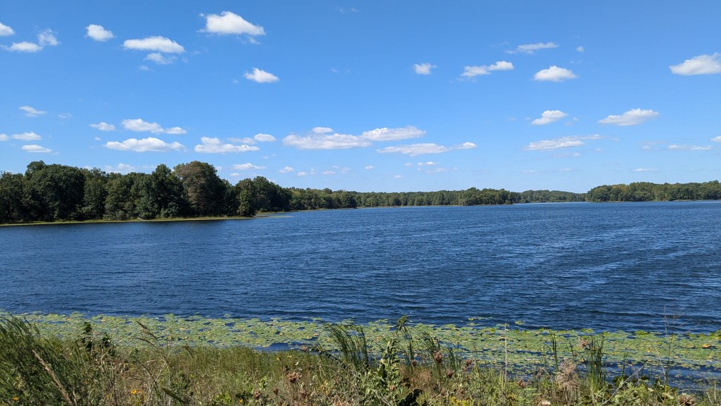
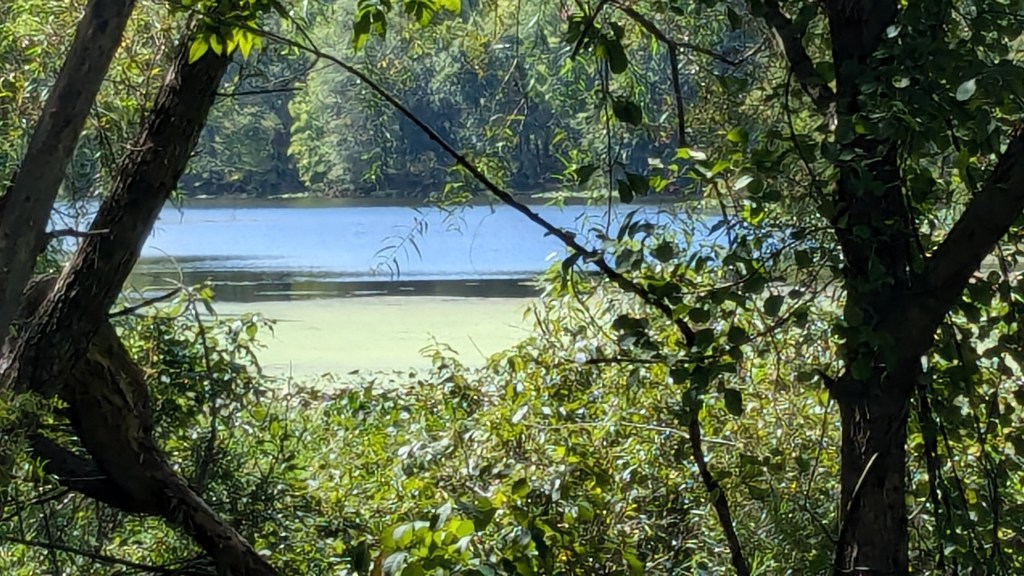
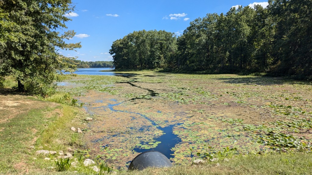
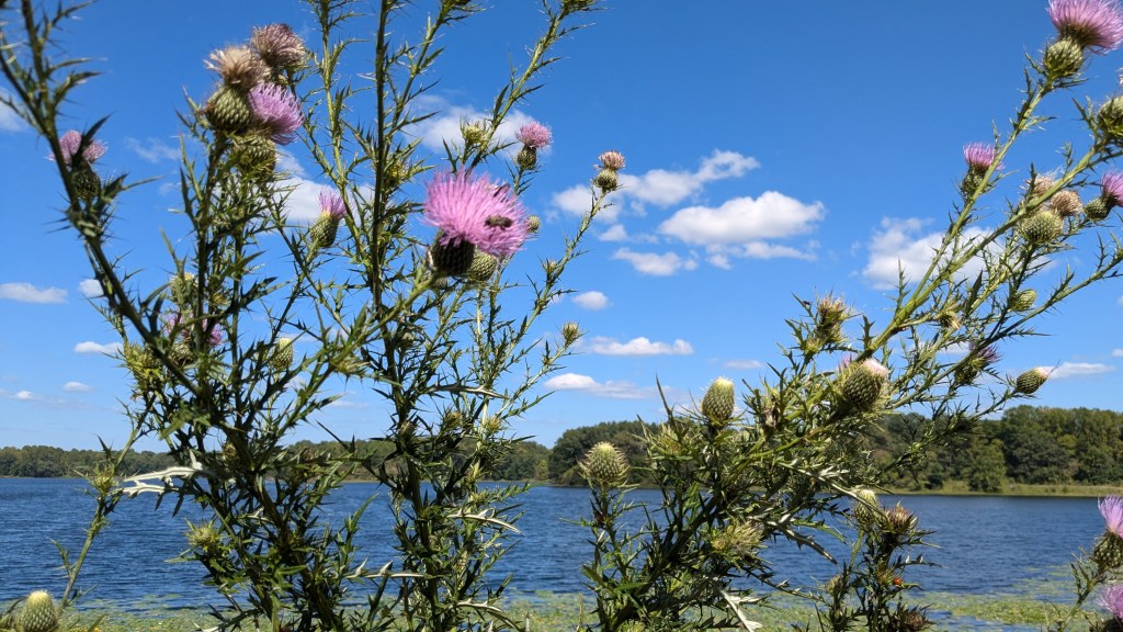
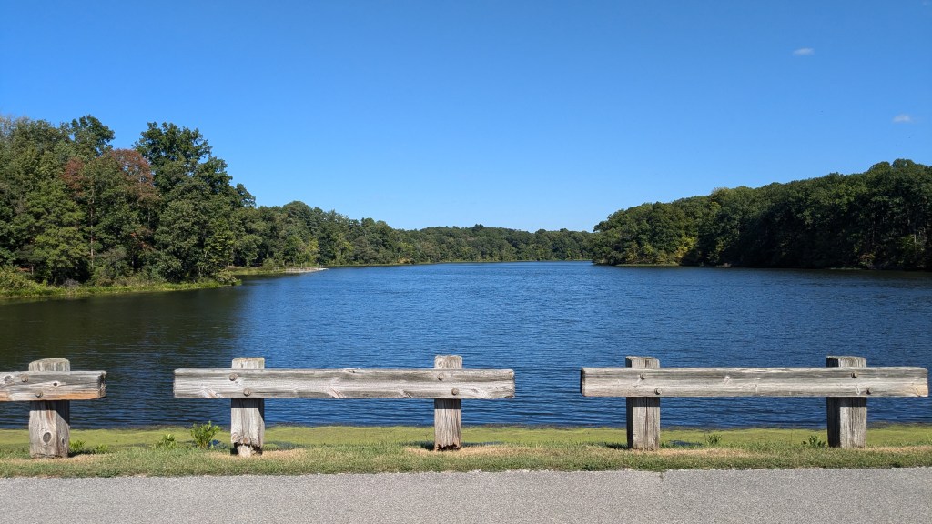
Crossing the earthen dam afforded wide open views of Lake Kickapoo, which is the largest of the 3 lakes in the park. It also has a large central body of water rather than being split out onto several fingers. It was a great place to take pictures. The breeze was also nice in this area since there was no shade. The breeze also kept the few bugs I had encountered at bay.
At the other end of the dam, the mowed path ended where the trail entered the forest on the east side of the lake. Here and one other place back on Trail 2 was a small grove of pine trees. I like these areas because they remind me of hiking through the Sierras. This part of Trail 5 follows a narrow finger of water as it sleeks back into the woods out from Lake Kickapoo.
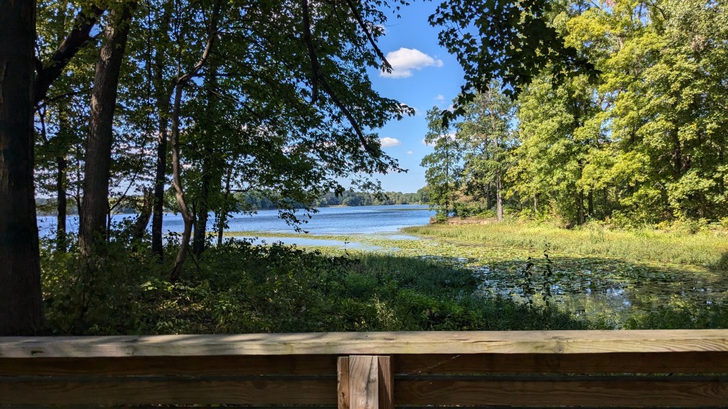
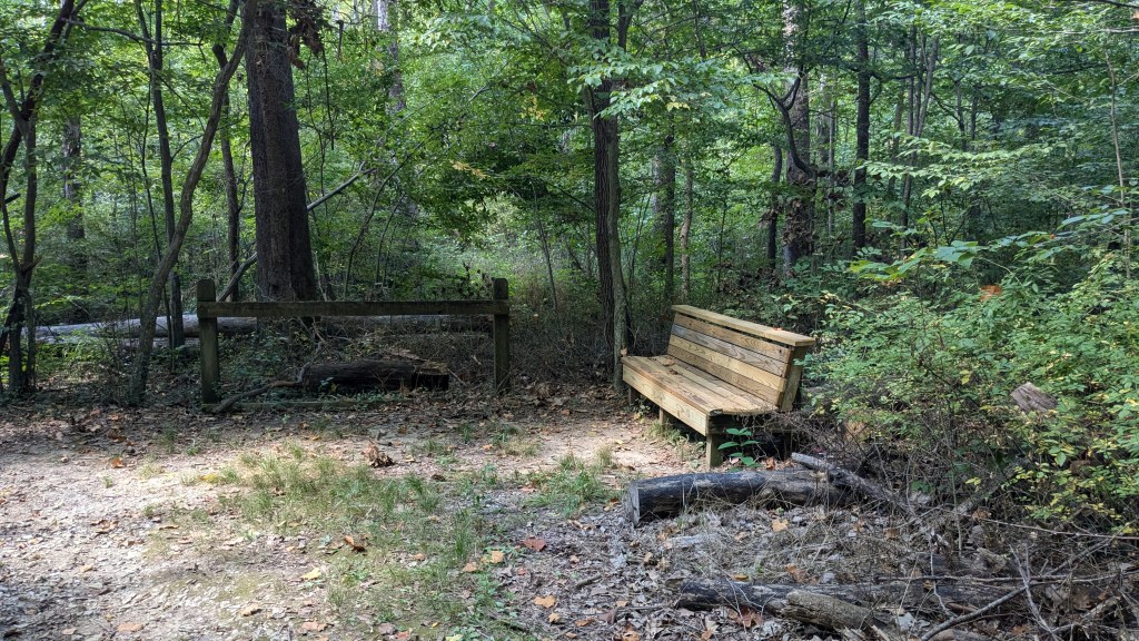
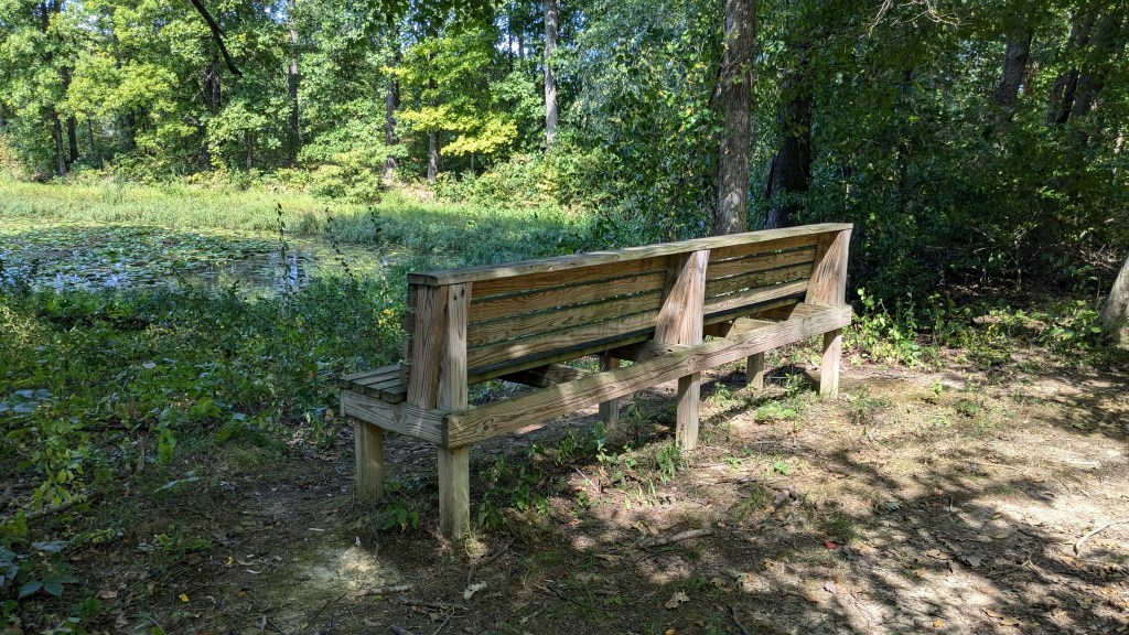
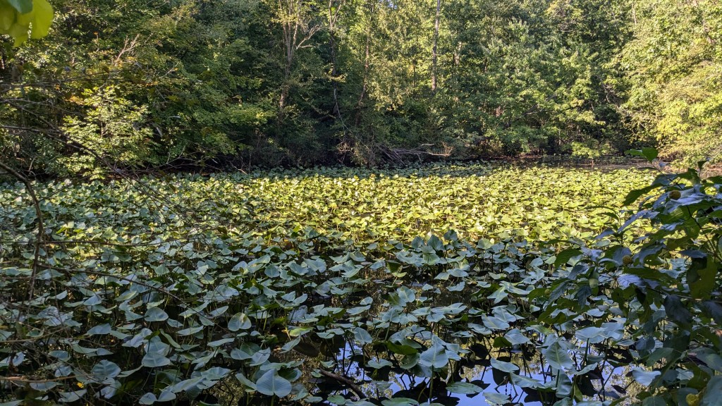
Again, the trail followed the water at a distance, meaning it was mostly straight and level. Not too far from the main lake there is a brand new bench facing out over the water. However, the majority of water right in front of the bench was filled with lily pads and other water plants. It wasn’t as scenic as the open water, but to each their own.
This part of Trail 5 from the dam to the road is longer than the first part, which was surprising to me, but eventually it came out to the road. On the map Trail 5 comes out about ¼ mile or less to the right of the campground. The next trail starts at the back of the campground, so I turned right and headed down the road. I followed the road around one curve and then another before I realized something was wrong. I continued anyway around a third curve, and then realized something was very wrong. There was no campground.
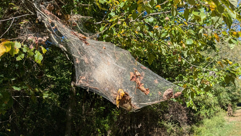
I checked the map several times, and was sure I was reading it right, but not being a fool, I turned around and hiked “uphill” back to where the trail came out to the road. I backtracked on Trail 5 a short distance to make sure I hadn’t missed anything. Then I continued down the road this time to my left. In another 1,000 feet, I came to the campground. Somehow the trail moved from one side of the campground to the other. When I make a wrong turn hiking or driving I try to find something unusual that I would not have seen otherwise. This time it was a huge spider web in a branch near the side of the road.

When I got to the road sign pointing into the campground, I saw two things that made me mad. First, was the original Trail 5. It was not to the right of the campground as on the map, but was directly in line with the campground road. If the map had shown this, I would have known immediately that something was wrong. The second thing I saw was a nice temporary sign saying, “Trail 5 Closed Ahead. Use Alternate 1,000 feet to the left.” The sign was great for people hiking clockwise, but was of no use to me hiking in the other direction. If I lived closer, I would make a sign and put it at the new exit for Trail 5 pointing people in the right direction for the campground.
Having walked a mile out of my way, I made a choice to skip Trail 4 and continue walking up the road. Rather than hiking around Lake Lenape, the third lake in this park, I had to be content with seeing it from the dam that separated it from Lake Kickapoo. Once I crossed the dam, I found Trail 3. Trail 3 led through the forest back to the north end of Lake Kickapoo. From there, a restricted use road, which was labeled “Pedestrian Path” on the map, led me back to the parking lot where my car was parked.
Except for a couple of intersections, everything had great signage. If the Trail 5 detour had a sign in both directions, I could have pretty much hiked without a map. Compared to other state parks I have visited that is pretty high praise. I have now been to so many parks with terrible signage that even with the Trail 5 fiasco I still have to give high marks for their signage as well as the overall condition of the trails.
I’m surprised that the park has not joined other state parks in creating a Challenge with a pin or sticker. They could easily make one called the 3 Lake Challenge, where you have to hike trails 1, 5, 4, and 3 making a large loop around all three lakes. If I go back to this park, that is what I will do. Perhaps though I’ll do it clockwise, so I won’t get lost. LOL.
