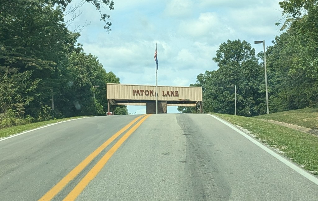
One of the few places I had not visited in Southern Indiana was the area around Patoka Lake. There are 8 State Recreation Areas (SRAs) that surround Patoka Lake: Lick Fork SRA, Jackson SRA, Tilery Hill SRA, Little Patoka SRA, Painter Creek SRA, Walls Lake SRA, South Lick Fork SRA and Newton-Stewart SRA. As far as I know, only Newton-Stewart SRA has hiking trails.
Name: Patoka Lake
Location: 10 miles east of Jasper, Indiana
Established: 1978
Size: 26,000 acres
Known For: The second largest State Reservoir in indiana.


The Day
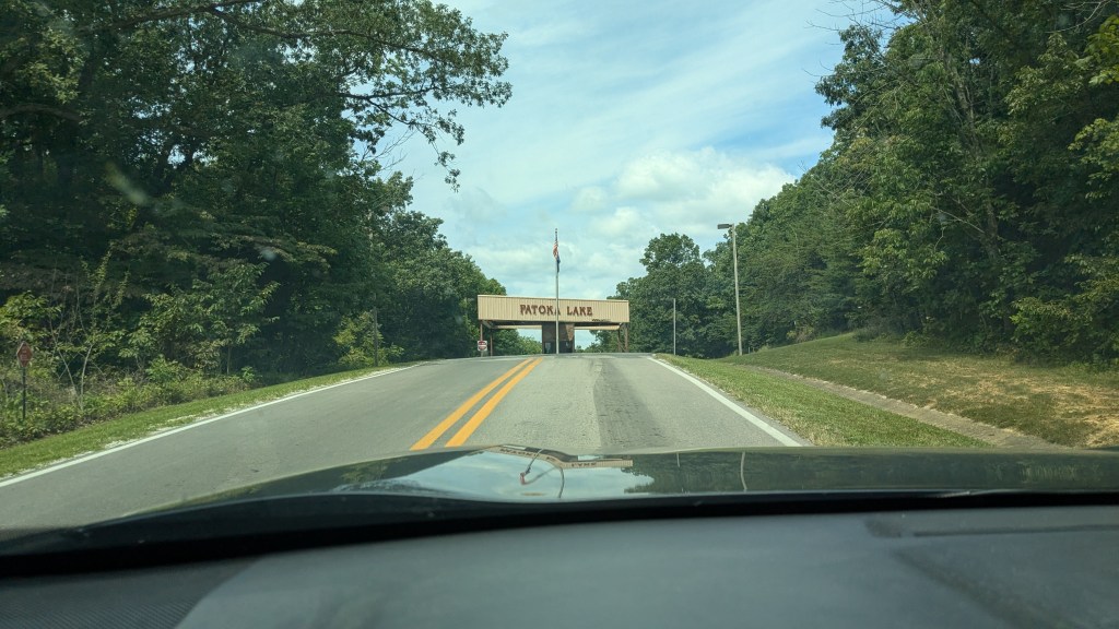
Patoka Lake is just over an hour from home. It is much closer than some of the parks I have visited over the last couple of months. I have been saving it for a day when I didn’t want to spend hours in the car. Patoka Lake is huge and consists of several State Recreation Areas. However, only one of them seems to have any established hiking trails. Without knowing too much about it, I headed off and arrived at the gate to Newton-Stewart SRA which is on the south side of the lake and easiest to get to from I-64.
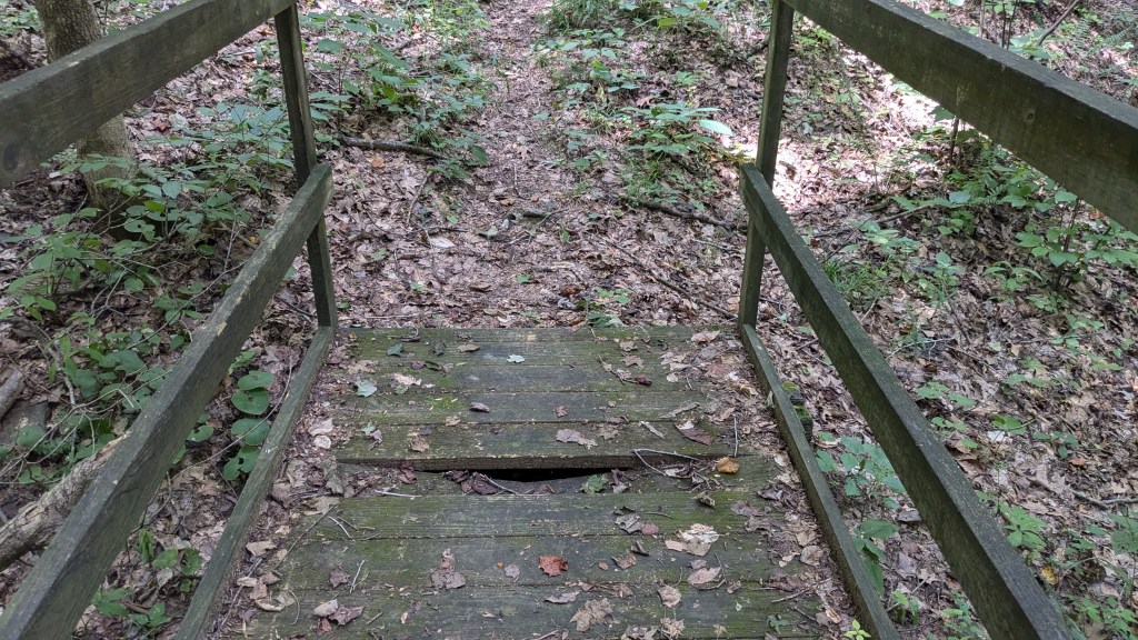
When I got to the gate house and showed my pass, I asked for a map. The man working there paused for a moment and said, “Of the whole lake?” Then I explained that I would be hiking, so he gave me two maps, one for the whole lake, and one that was just the hiking trails within Newton-Stewart. I was glad I got both, because I had enough trouble even with the hiking map, I can’t imagine what would have happened without it.
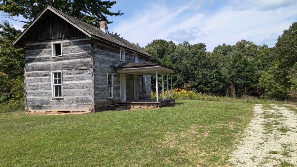
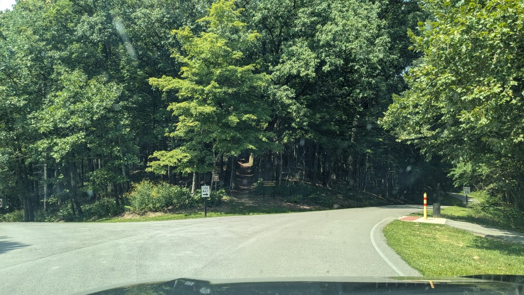
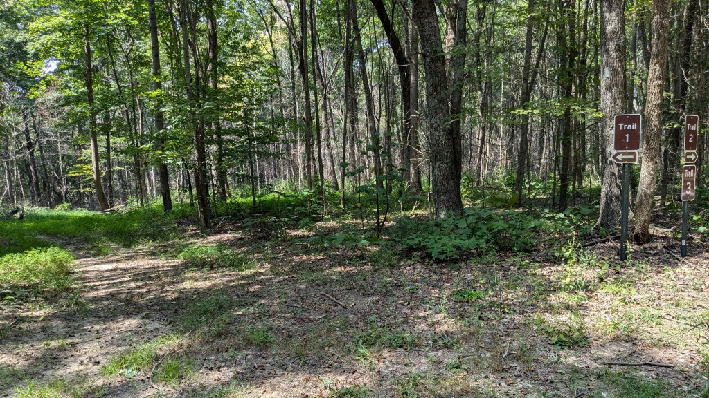
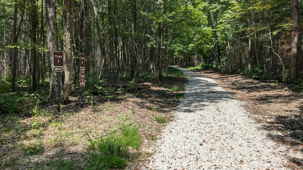
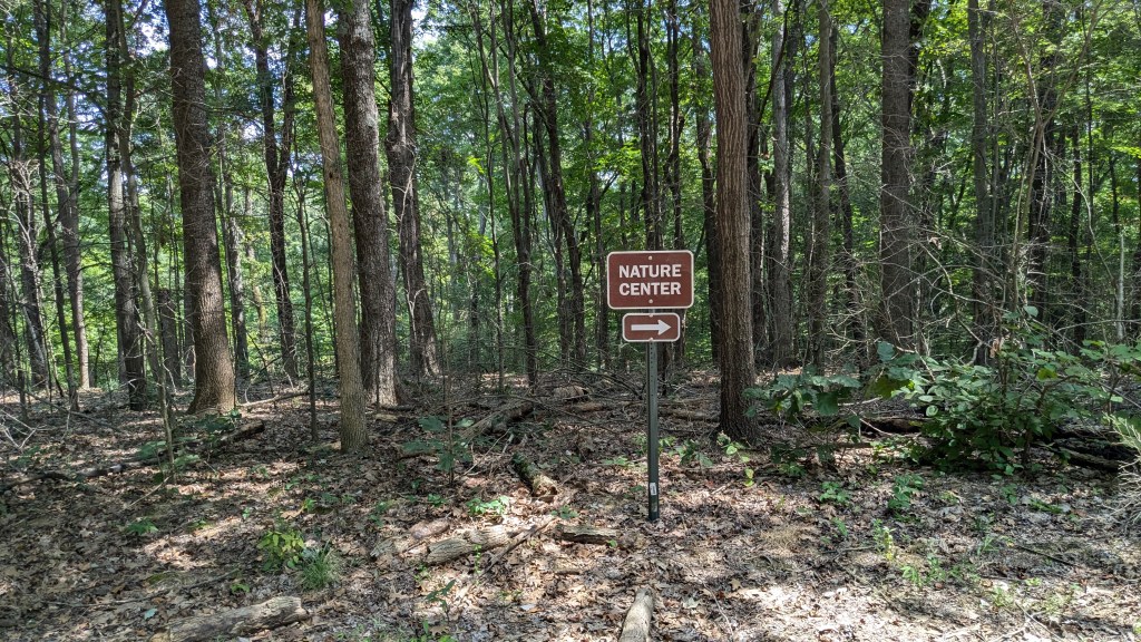
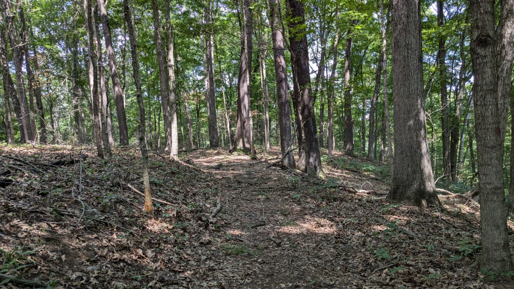
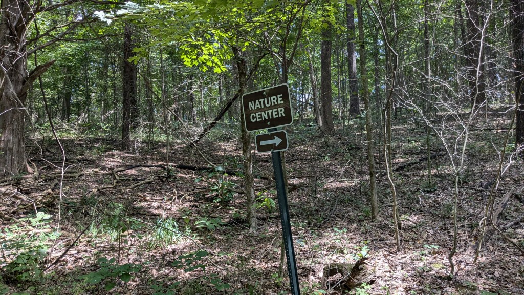
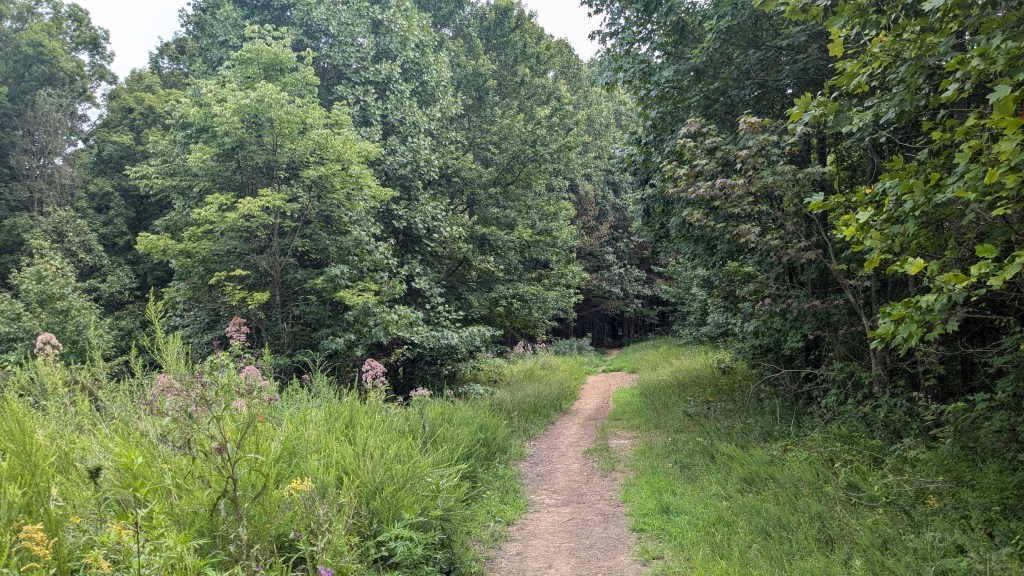
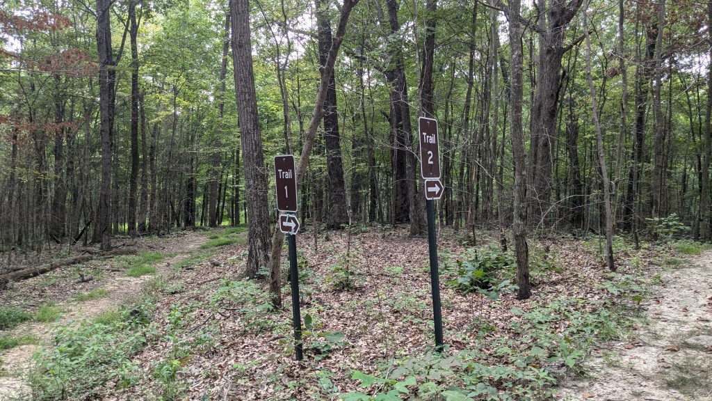
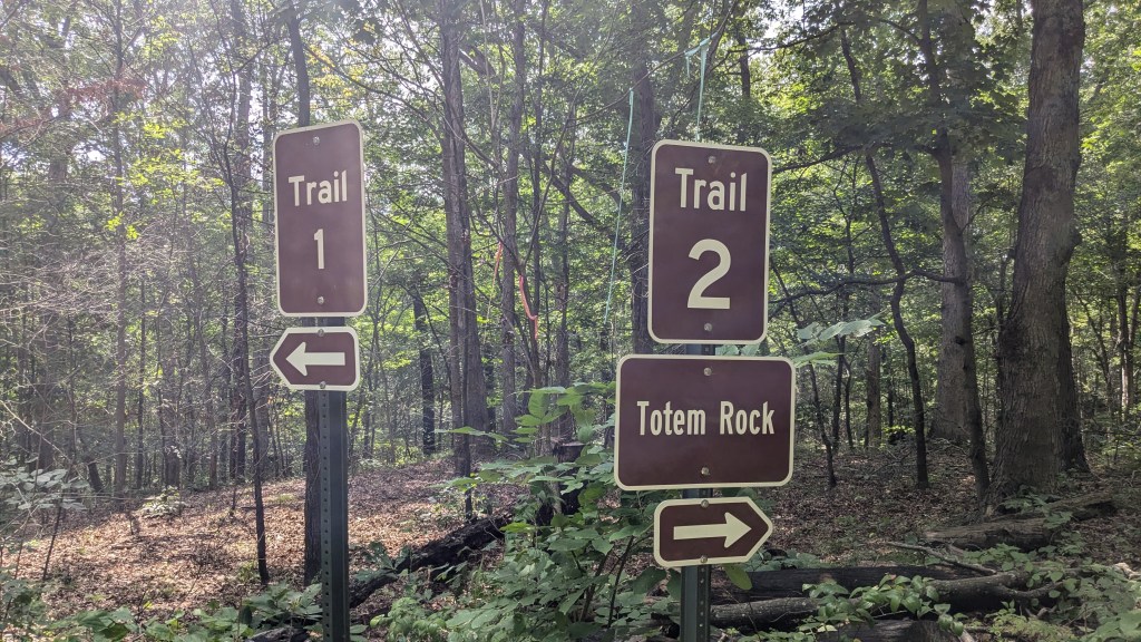
All of the hiking trails are in one area, a peninsula of land near the Visitor’s Center. There is a large parking lot there, which was almost completely empty. I only saw a couple of other hikers all day. The trails were numbered 1 through 5. The first trail, however, was called the “Main Hiking Trail” instead of being given a number. The blurb describing it was, “While there is limited signage, the trail is well maintained and easy to follow.” I always worry when a trail says it is “easy to follow.” It was also only listed twice on the map, so one had to decide how to connect the dots as it were.
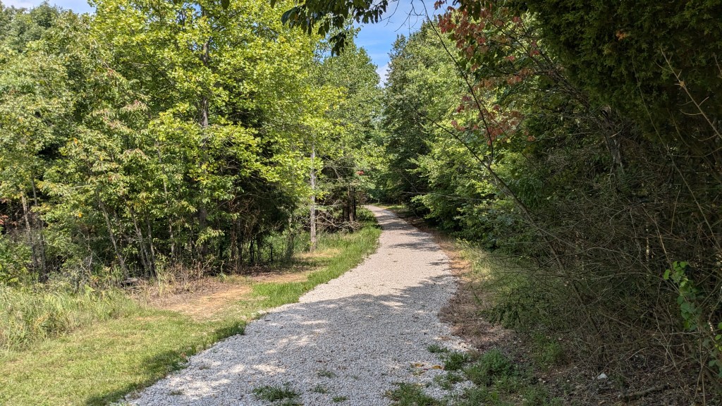
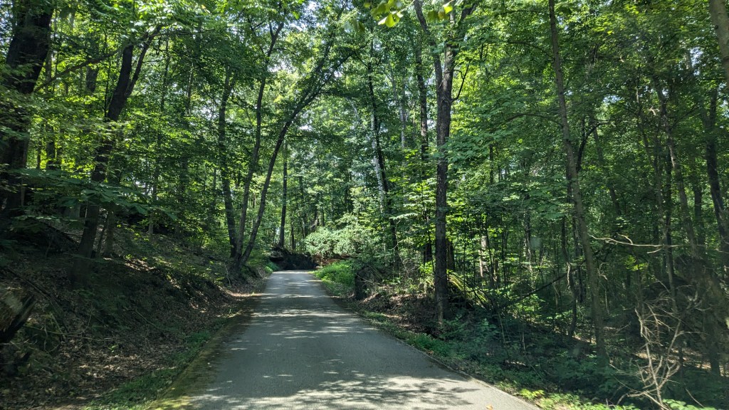
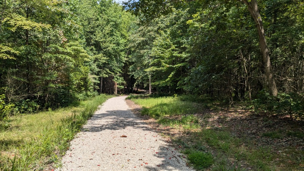
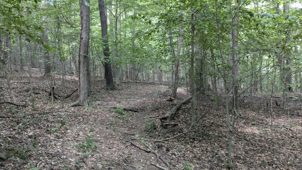
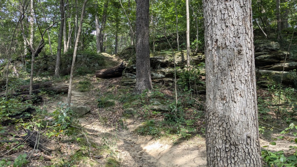
The trail map showed one main trail leaving from the North end of the parking lot past a historic building and into the peninsula. Then Trails 1 and 2 returned closer to the Visitor Center which was on the south end of the parking lot. Apparently, my normal Counter-Clockwise direction was backwards to how they had set up and prepared the trail signage. This main trail was indeed wide enough to be a road and covered in gravel. It was also quite flat and fairly easy to traverse, though I would argue that gravel is not the easiest to walk on. There was no doubt, however, about where the trail led. It was indeed easy to follow.
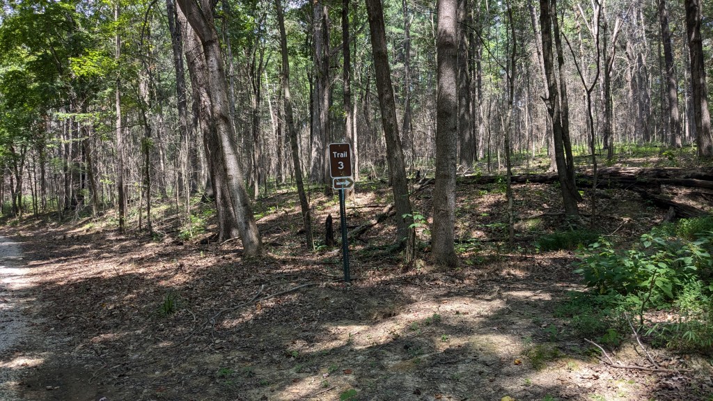
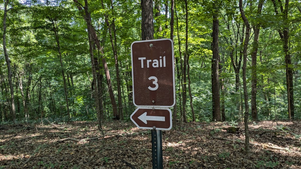
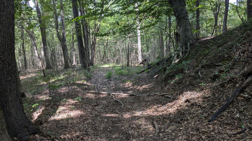
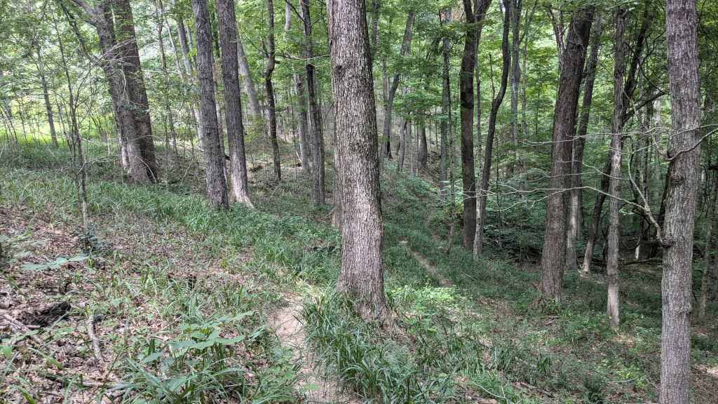
I quickly came upon two different intersections. The first for Trail 1 leading to the left, and then one for Trail 3 leading to the right. According to the map, the “Main Hiking Trail” followed Trail 3 and mainly followed the outer circumference of trails around the peninsula. Trail 3 had no gravel though it was fairly wide, however, it was covered in dead branches and dried leaves from last fall and winter. I wondered if anyone had hiked it this year. There was no clear trail to follow, though because it was wide, you could make out the contour of the land and generally follow it. There were even a few signs along the way confirming that I was indeed still on Trail 3.
The distraction from all of this was the large number of flying bugs; similar to my experience at the Indiana Dunes. I did, however, remember bug spray this time, though I will admit that, other than perhaps keeping mosquitoes away, these smaller bugs seemed pretty unaffected by the bug repellent. I spent quite a bit of time swatting them away from my face and neck over the 2 and a half hours.
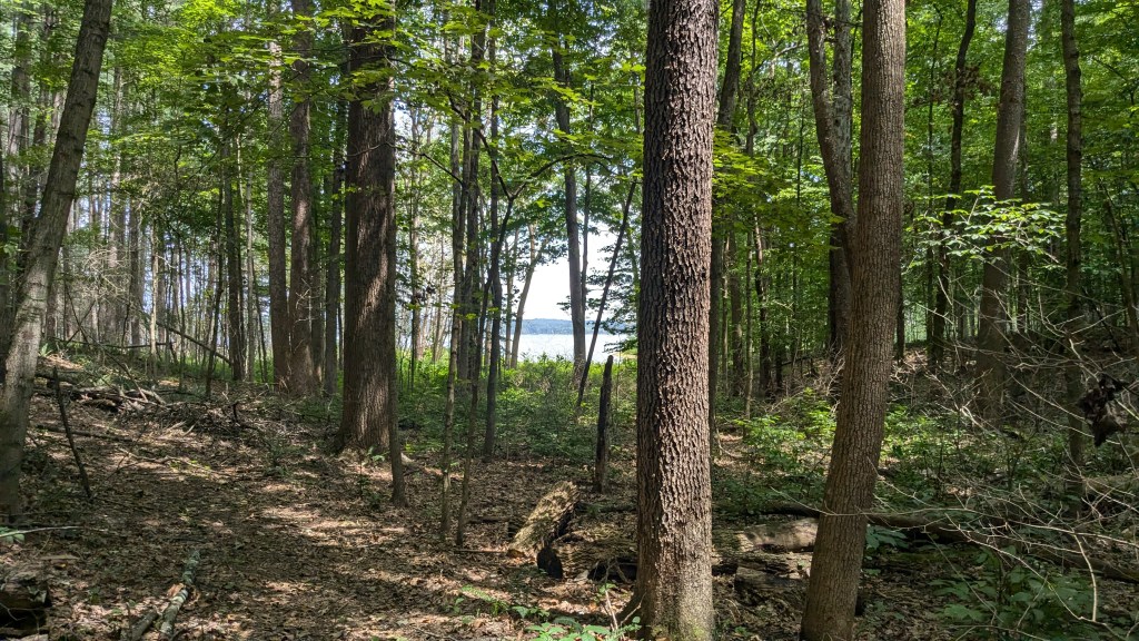
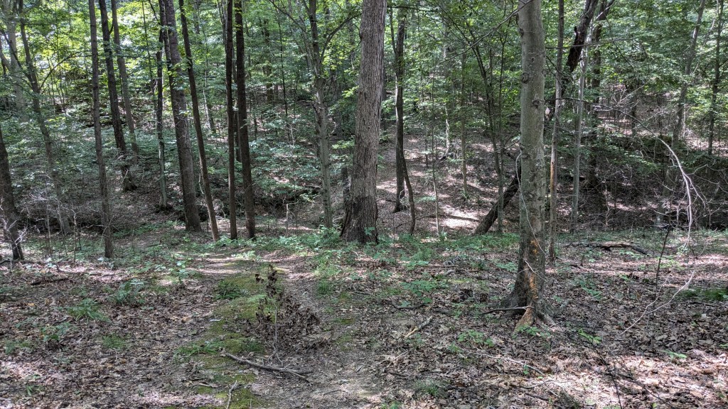
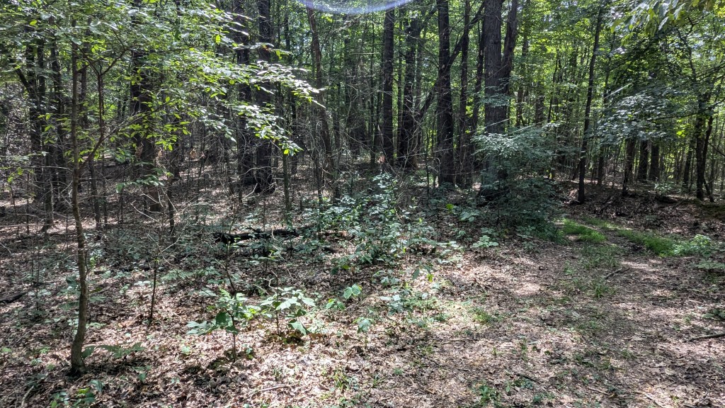
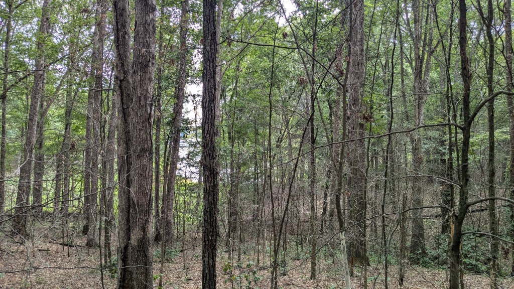
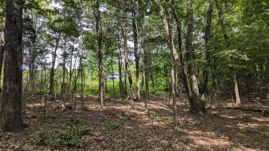
Trail 3 came close to the lake a couple of times, at least close enough to see it through the dense trees. This forest was fairly dry and had little to no undergrowth, so you could see quite a distance through the trees. I was hopeful to see some animals along my hike, but for the most part I saw none, not even squirrels. I followed Trail 3 until I reached a point where it made it an almost hairpin turn. At this point, it became a little harder to follow. I actually walked around a little to make sure I was still on the trail. In this area, grass had grown up on the trail in a low wet spot and there were no tracks or trails to follow. This wasn’t a huge problem, but made me stop and think before walking on to what seemed clearly the trail beyond the grass.
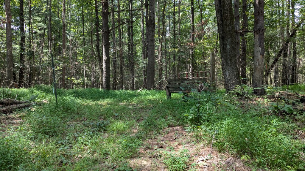
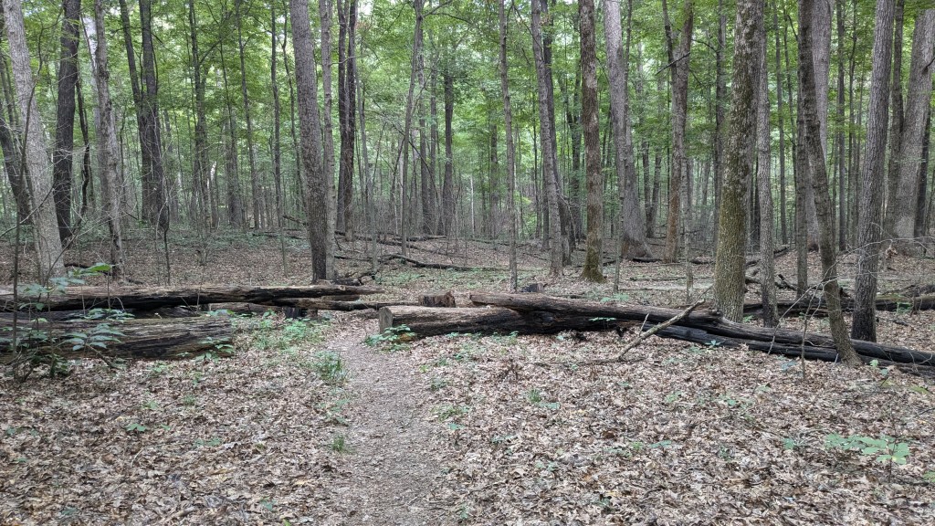
I soon came to an intersection. I came to what was clearly a fire road that was still maintained as such. This clear path led back toward the visitor center where I started. The other option had a gate across it, and blocking the way around the gate was a broken down 4’ bench that no longer looked stable or comfortable to sit on. Looking at the hiking map, I seemed to be at point E. The only sign said that where I had just come from was indeed Trail 3, but I already knew that. If this was point E, I should have walked around the gate and continued in that direction. However, beyond the gate was tall grass with no signs of anyone having gone that way for a long time. Had there been a clear trail beyond the gate, I would have gone that way, but instead I took the safer route along the well-defined fire road back toward where I started. At the next intersection was another gate to my right. Here again, the trail beyond the gate was indiscernible. There were even several trees and logs laying across it. I was guessing at this point, trying to compare these two intersections with the lines on my hiking map.
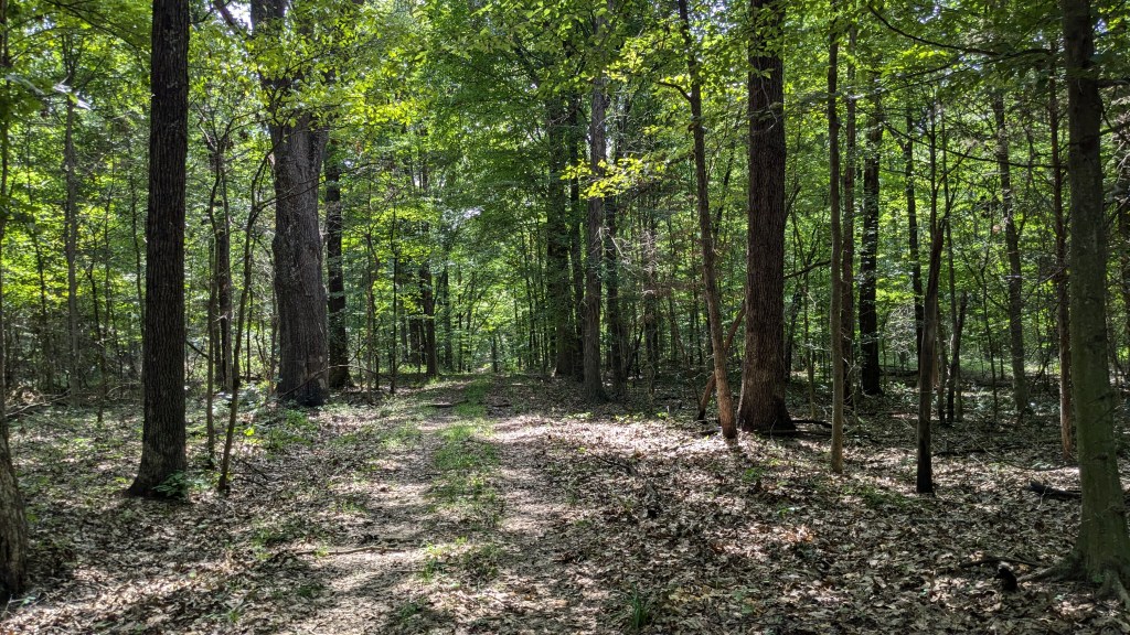
I continued on the maintained fire road where signs were still pointing me back towards the visitor center. I eventually returned to the gravel-covered trail. I thought the trail I was on was the same as the stone-covered one. I assumed that they simply had stopped laying stone somewhere. Instead, I came to the stone-covered trail and it went in both directions back to the start and back into the peninsula. Instead of heading back to the visitor center, I went to my right following the gravel road deeper into the peninsula. I passed a couple who looked as confused as I did and were fighting the bugs even more than I was.

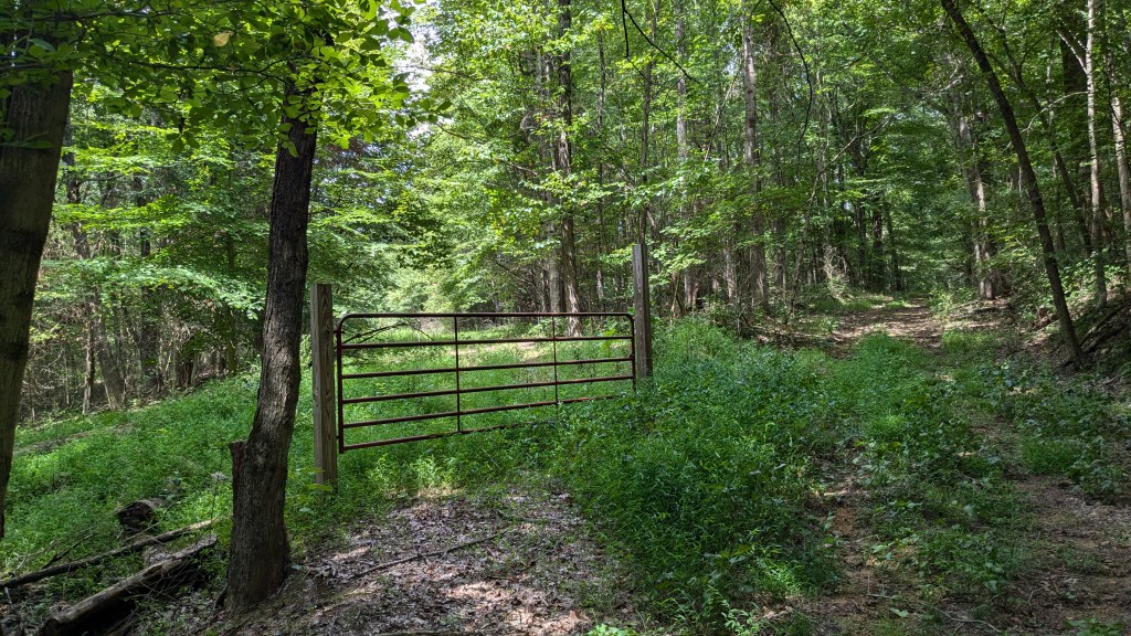
I came to a third gate. This time, however, the trail beyond the gate looked well maintained. It didn’t have gravel, but it was not overgrown. Looking at the map, I thought I knew where I was, and that the map was wrong. I later figured out I was half right, and half wrong. So this time, I walked around a gate and set off on this alternate path, just to see where it led. The trail went pretty far in this maintained status, but eventually came to a T where all paths were again grown up in grass and looked unused. I finally decided to pull out my phone and use the GPS to figure out where I was. I realized I was nearly on the west side of the peninsula and had walked way off of the trail map.
At this point, the trails I was finding and the map did not correlate much at all. The confusion caused me to give up trying to find the “Main Hiking Trail” and simply follow some of the numbered trails. I hadn’t realized but this particular fire road had been trending entirely downhill, so the walk back to the gate and the gravel path was entirely uphill. Once back, I turned right again and decided to at least follow the gravel path to wherever it led, which was not too much farther.

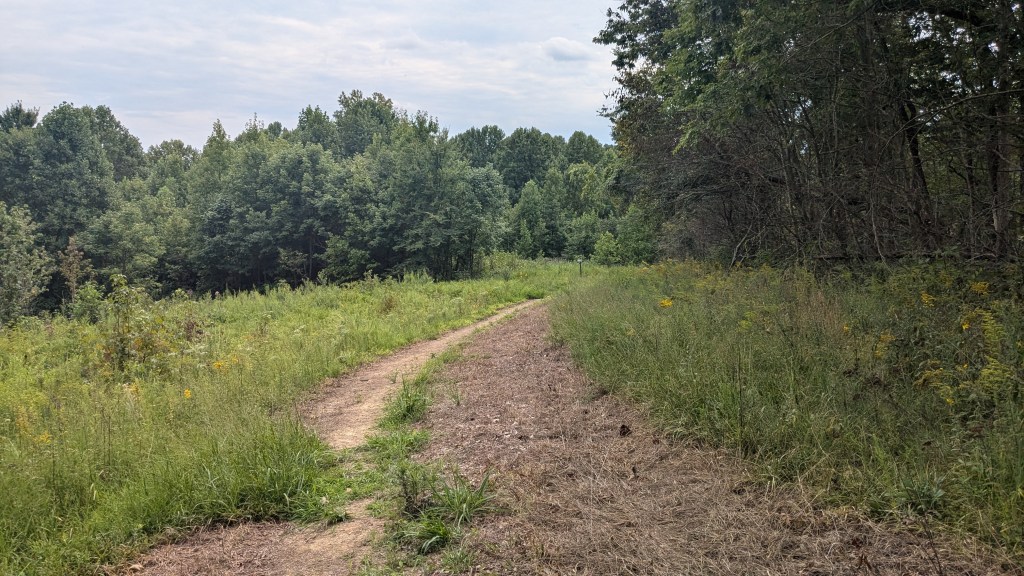
The gravel came to an end at a clearing or knob as the map labeled it. I wasn’t at the knob I thought I was at, but that didn’t matter too much. Here again everything was grass and the trail seemed to be at a T with grass options to go left or right. I noticed a sign leaning against a tree with an arrow pointing back down the gravel path behind me. That wasn’t much help, except the sign was facing the left path, so I deduced that the left path must be the correct one.
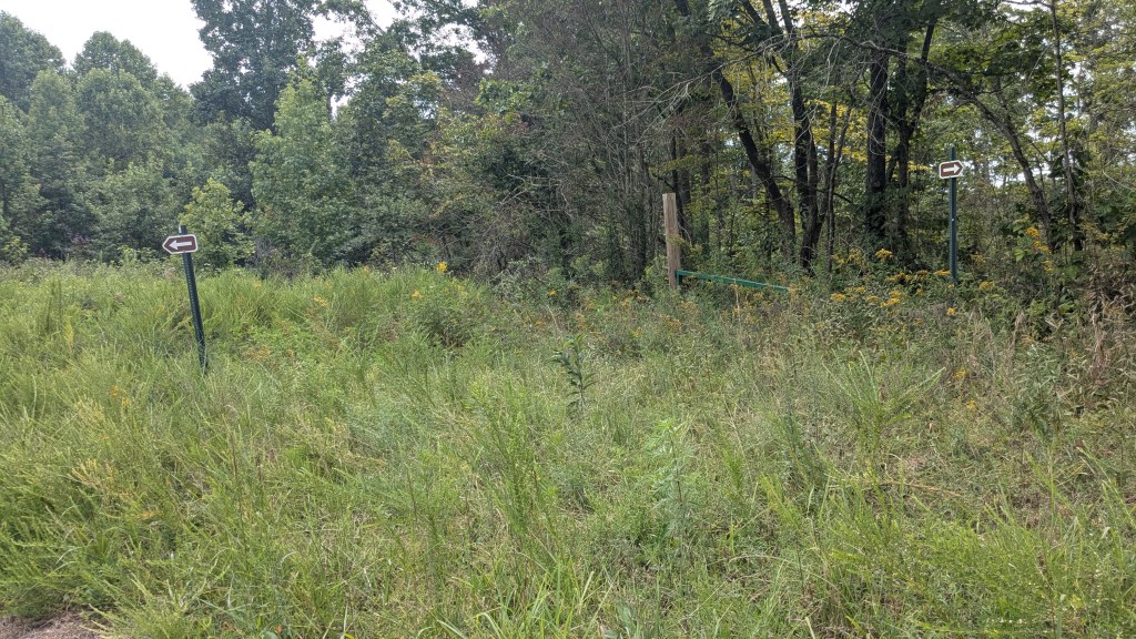
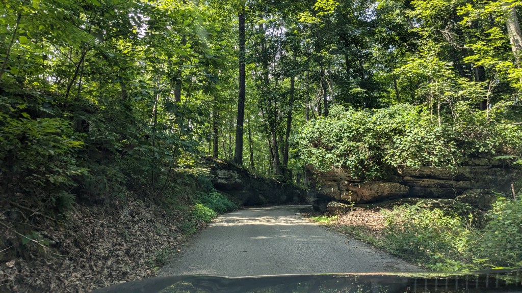
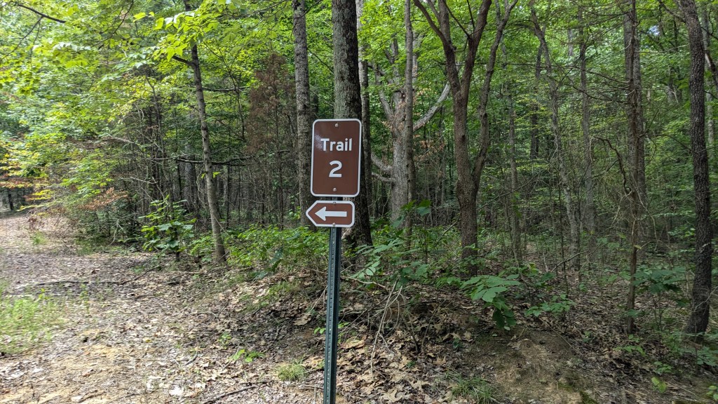
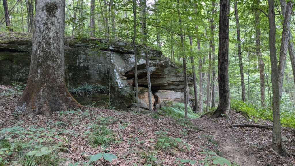
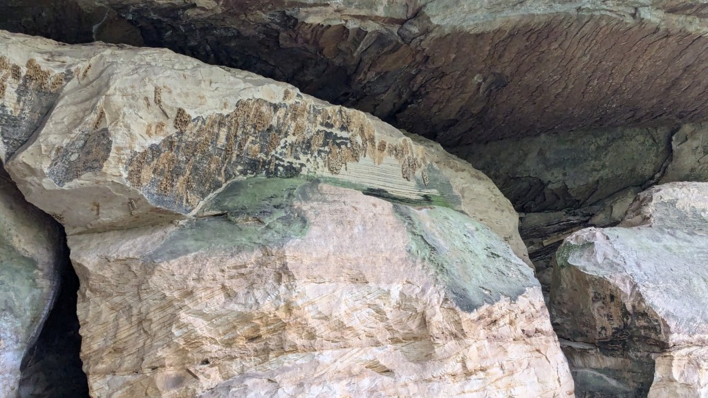
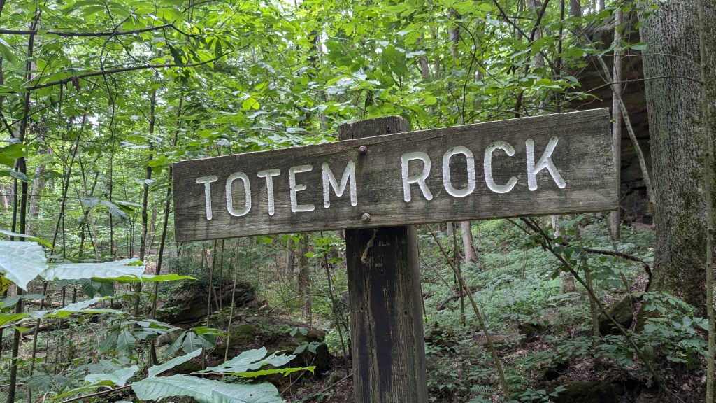
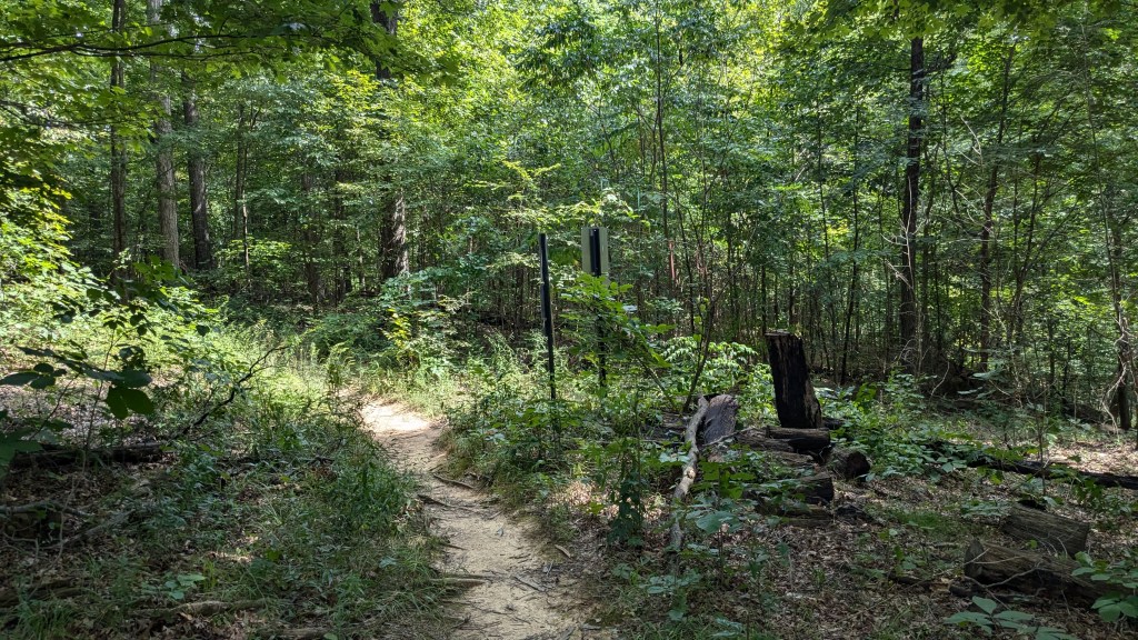
This path was grass, but it seemed to be mowed or trampled down from other hikers. It was only a short walk till another sign marking Trail 2 with arrows appeared, and I knew that I was indeed on the right path. Leaving the knob, Trail 2 quickly turned into a traditional path leading back into the woods. This trail soon brought me to a large rock formation on the side of the hill. The trail went right up to the rocks, and there were drawings and such which told me this must be Totem Rock, a marked feature on the map. At the other end of the rock outcrop was a sign for those traveling in a clockwise direction.

As I examined the sign and took a couple more pictures, suddenly something that was resting on a nearby rock gave me a little growl and scurried into a large crevice in the rocks. I was at first startled, as I imagine the creature was, too. I only caught a glimpse, but my first instinct was that it was a badger. My brain has since played enough tricks that I can’t say what it was, other than fairly large. Badgers in the US are about the same size as raccoons. This seemed larger than the average raccoon, but like I said, my brain has scrambled the 1 to 2 seconds I had to see the creature, so I am not sure what it was. I can only say it was afraid of me and scampered back into the dark crevice before I could get a good look at it. I hung out quietly for a couple of minutes to see if it would come back out, but it did not.
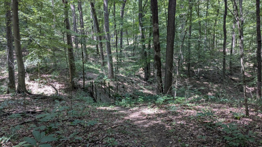
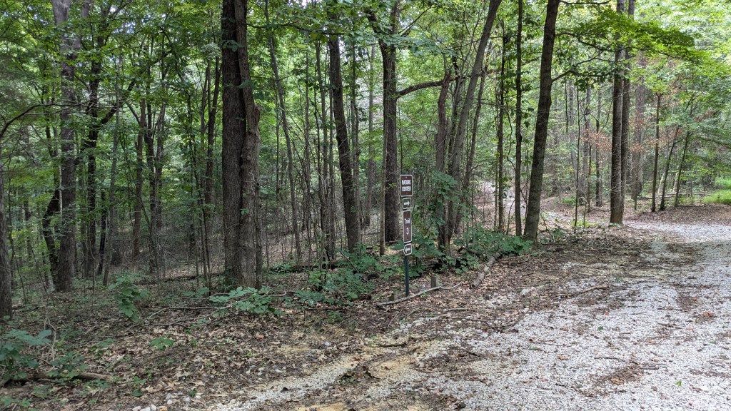
Trail 2 was easy to follow. Even when it crossed Trail 1, there was a minimum amount of signage and I was able to figure out which direction to go. Both Trail 1 and Trail 2 led back to the visitor center. When I finally got there, I found the official Trailhead with a stand and messages about the trails. The notes said that the trails were being reconditioned and new signs were being installed. The notes also said that several of the intersections I encountered were labeled with Letters matching the map. I saw no such letters at any of those intersections. That would have been very helpful.
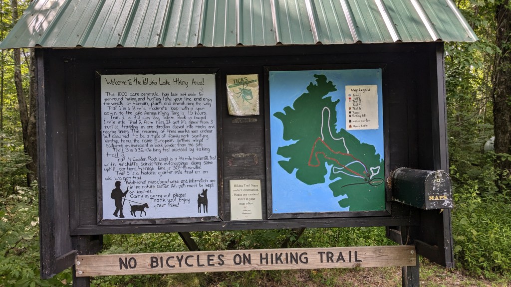
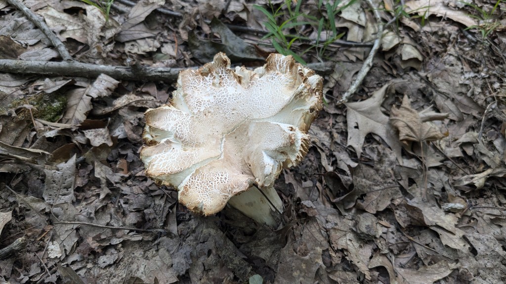
If you plan to come here and hike, I would suggest that you only hike on numbered trails. The trails that are not numbered were not maintained at all. I survived and managed to get a lot of hiking in. The bugs at times were bad, but at other times were less so. I don’t remember this kind of constant barrage from last year’s hiking, so I am wondering if it is the particular parks, or if 2024 is just a worse year. Out of the whole day and trying to navigate my way, what surprised me the most was the complete lack of squirrels or other animals. It was almost unnerving how little life there seemed to be.
