My long drive from Sellersburg to Anderson, Indiana, was made more reasonable by the possibility of visiting 2 state parks in one trip. First, I drove to Mounds State Park which I describe here in Part 1. Then, I traveled 30 minutes to Summit Lake State Park which I describe in Part 2.
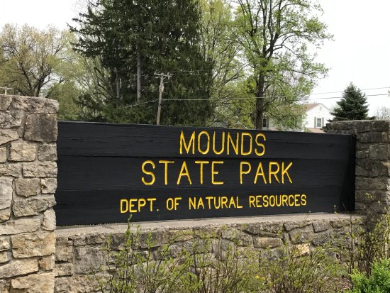
Name: Mounds State Park
Location: 5 miles east of Anderson, Indiana
Established: 1930
Size: 252 Acres
Known For: Native American Mounds and earthworks dating back to as early as 250 BC


The Day
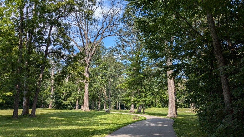
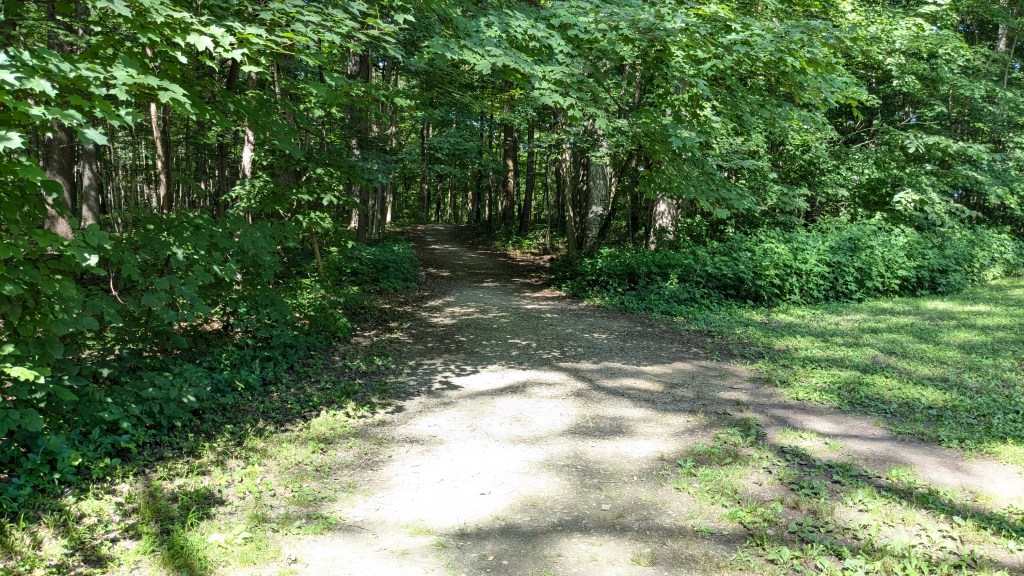
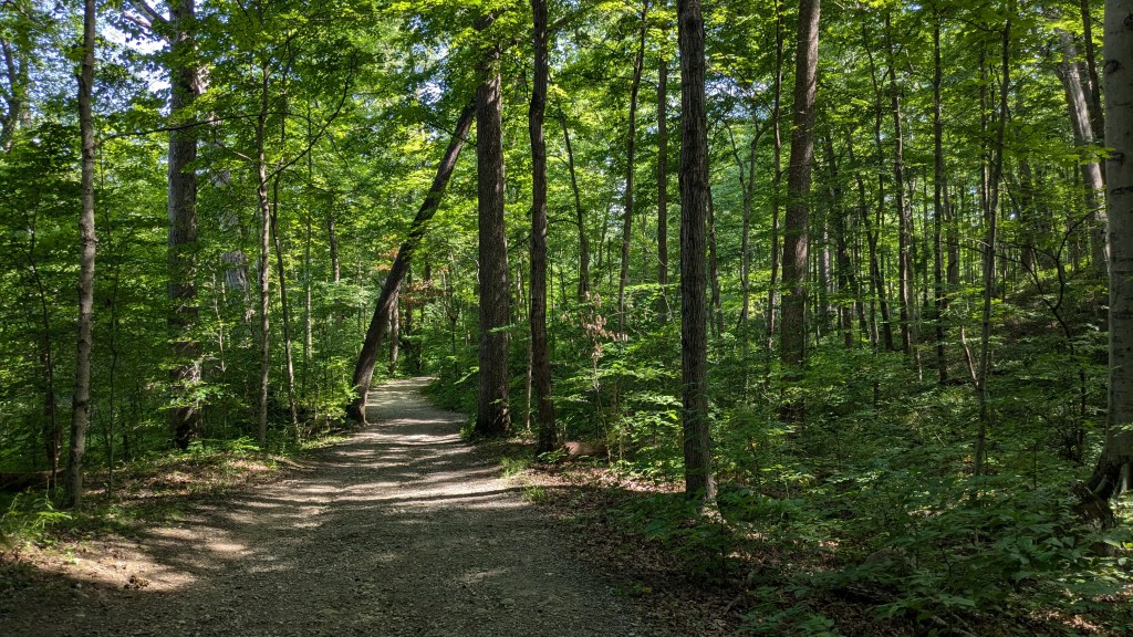
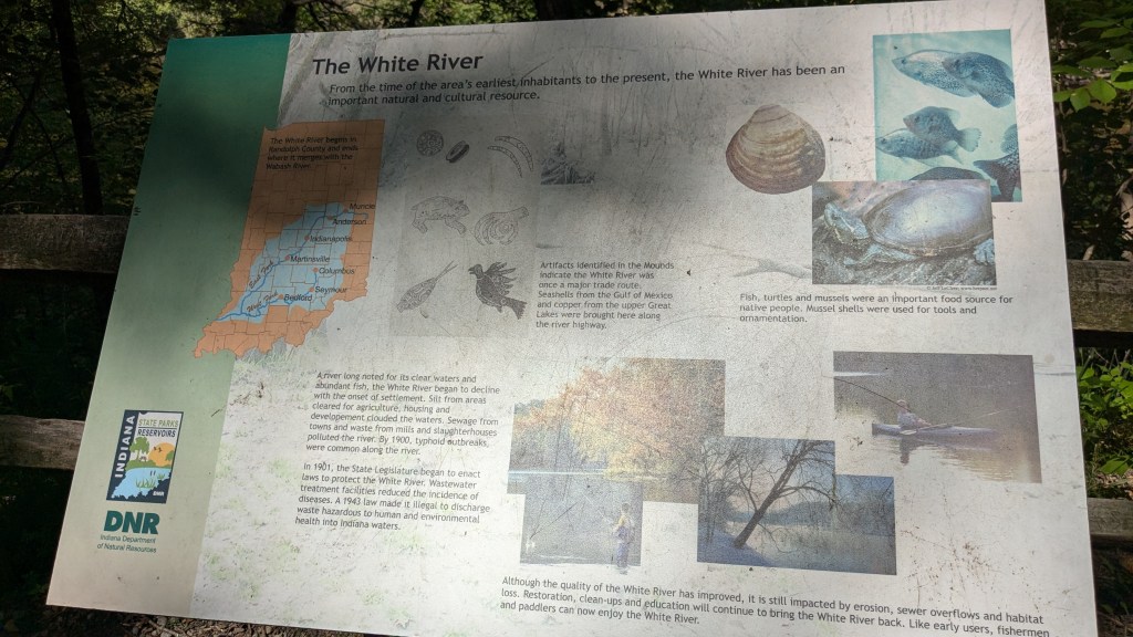
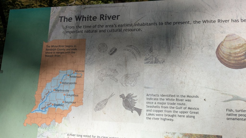
After the 2-hour-plus drive to Anderson, Indiana, I arrived at Mounds State Park just after 10:30 am on this Monday morning. The temperatures were estimated to be just under 90 for the day. Mounds State park is stretched out along the White River which meant plenty of forest cover for my hike. That made the morning part of my day pretty nice and tolerable.

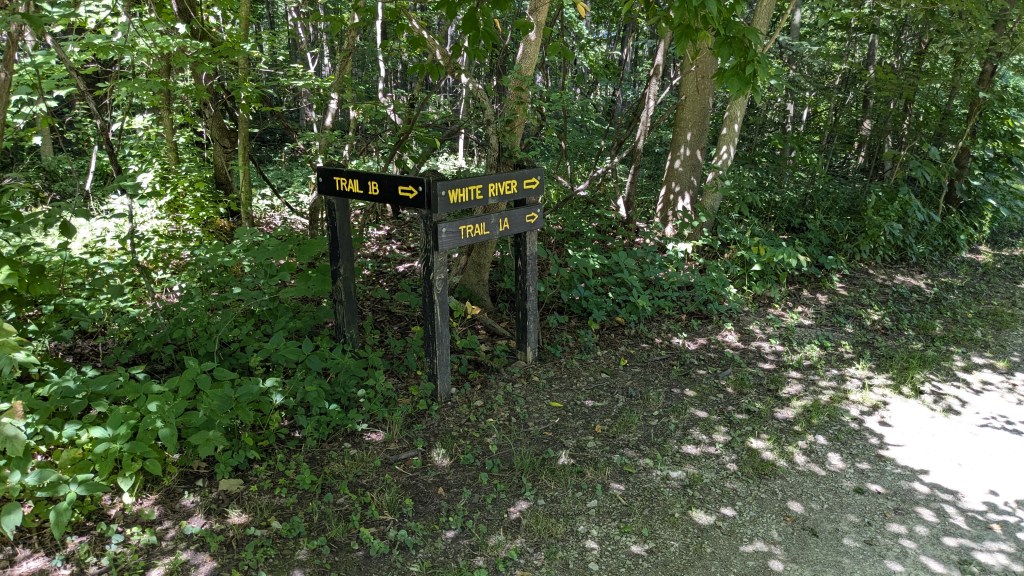
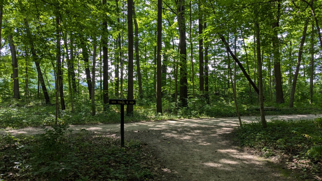
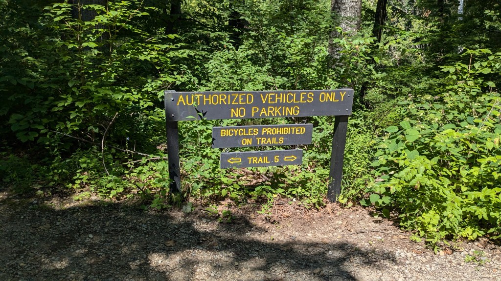
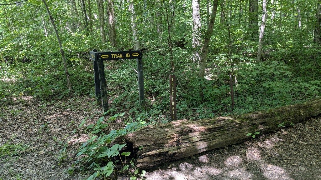
The longest of the park’s 6 trails is Trail 5. It just about traverses the circumference of the park, at least the part south of the White River. On the map, it looks quite long, however this is one of the smallest State Parks and this all encompassing trail is only 2.5 miles long. This meant I could take lots of other trails which intersected all over the park connecting the many different areas and mound locations. In the end, this also meant I got confused and ended up skipping a corner of the park.
I turned left when I came into the park which immediately ended in a parking lot. This set in motion my visitation plan and the direction I would go. Trail 5 starts here in a clockwise rotation around the park. This is also the side of the park with most of the Mounds and earthworks. The mounds here may have been used for burial sites, but most of the archaeology has shown them to be astrological rather than ritual burial grounds.
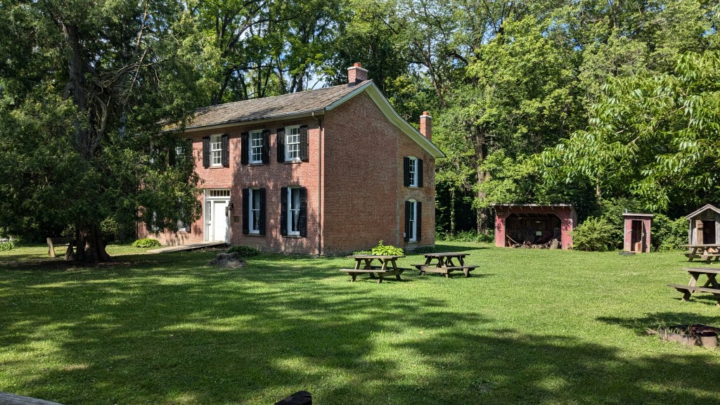
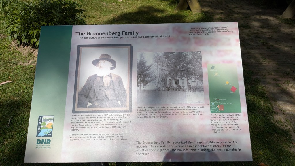
The first thing on my path was the historic home of the Bronnenberg Family. The father, Frederick, was a trained tanner by trade. They had planned to move through Indiana on their way to Illinois. However, the death of one of their 8 children here led them to stay and plant roots in this area. There is a home built by Frederick, Jr., which has tours on the weekends. The family is honored for their work at protecting the mounds from looters and vandals.
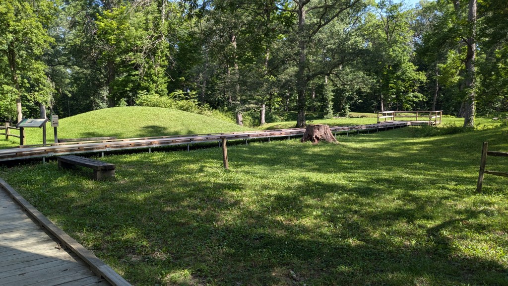
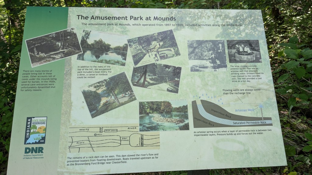
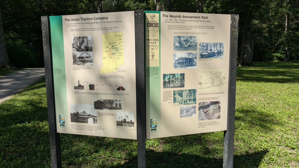
Around the corner from this home is the largest of the mounds. In fact, there are 2 large earthworks next to each other. Surprisingly, the first sign I came to talked about the Mounds Amusement park. Apparently, some time between the Bronnnernbergs and the current state park there was an amusement park located here amongst the mounds and down by the river. I was surprised to see this sign as I was expecting to read about the mounds.
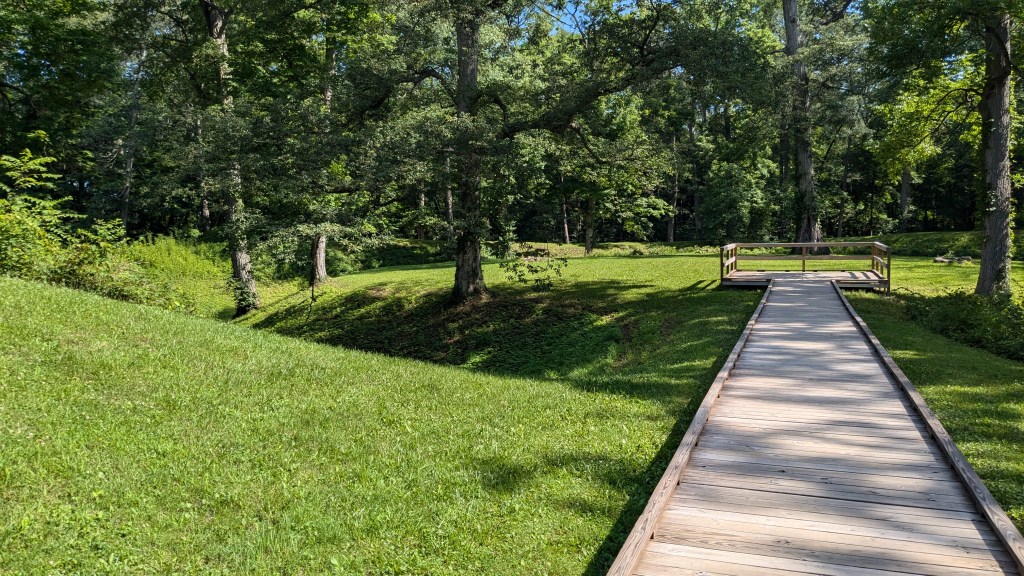
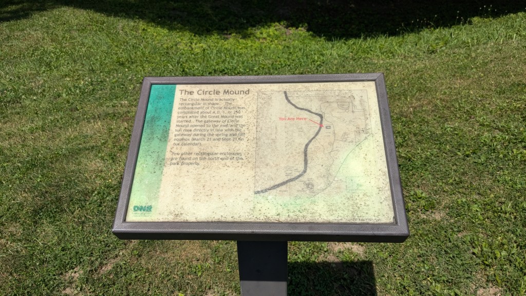
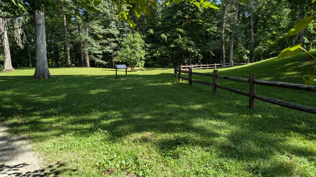
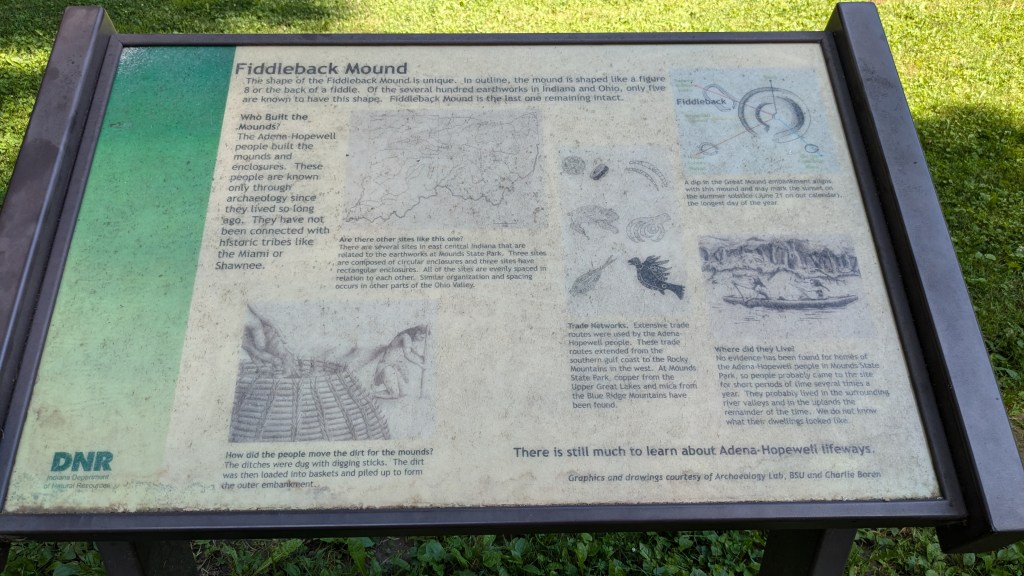
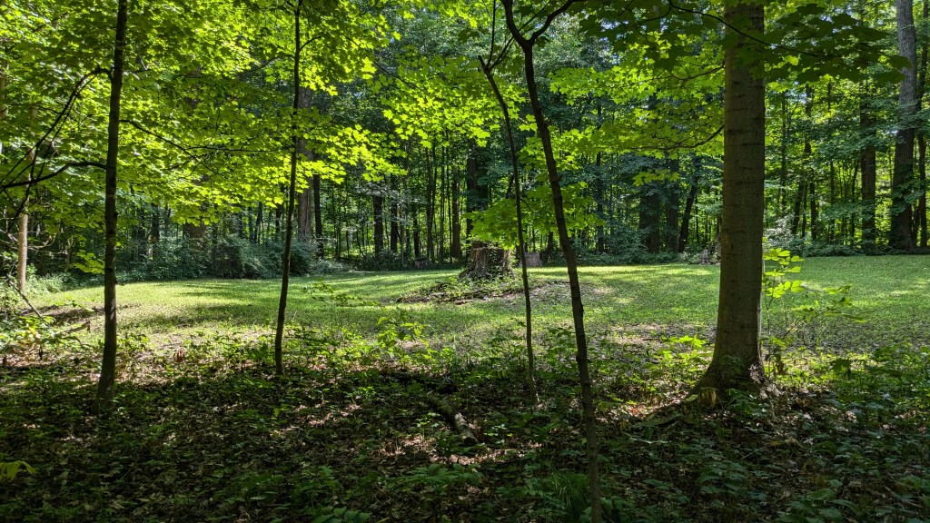
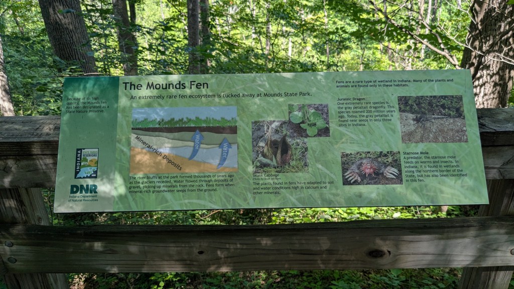
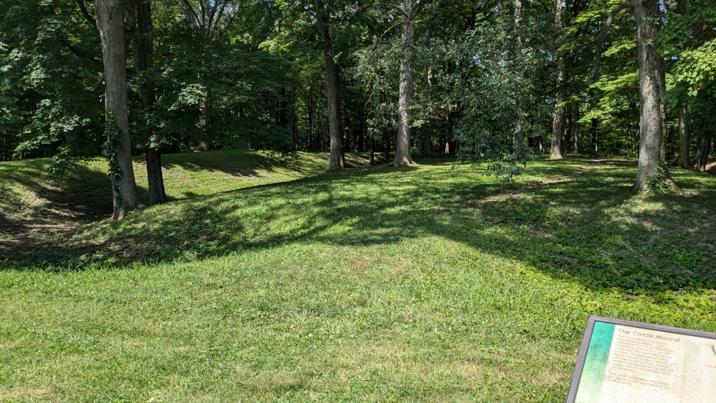
The mounds were on a second sign. The largest circular mound has a large flat area in the center. It is fenced off and the walk out to the center is now a boardwalk raised off of the ground. It is a nice way to allow access without everyone trampling all over the mound. None of the other mounds in the park are this well-protected though. The Great Mound as it is called was built between 250 BC and 50 AD. The Adena-Hopewell tribes are not related to the later tribes of the area, and there is no clear answer as to what happened to them.

They are in the process of removing the trees that over the last 100 years have grown on the mounds. They are in a long process of safely and archaeologically soundly removing the trees to restore the mounds to their original appearance. The picture on the sign shows quite a few more trees than there are now. One thing I did notice is that the mounds are mowed regularly, so while we cannot walk on them the mowers are ok.
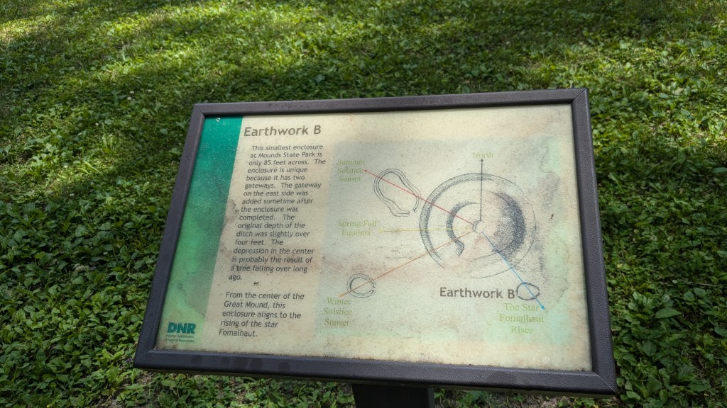
The second large earthwork is a figure 8, sort of shaped like a fiddle, hence it is called a Fiddleback. This seems to be lined up with the summer solstice. It is the only remaining fiddleback shaped mound in the world. And one of very few ever discovered. It adds something to the mystery of the mounds and the people who built them.
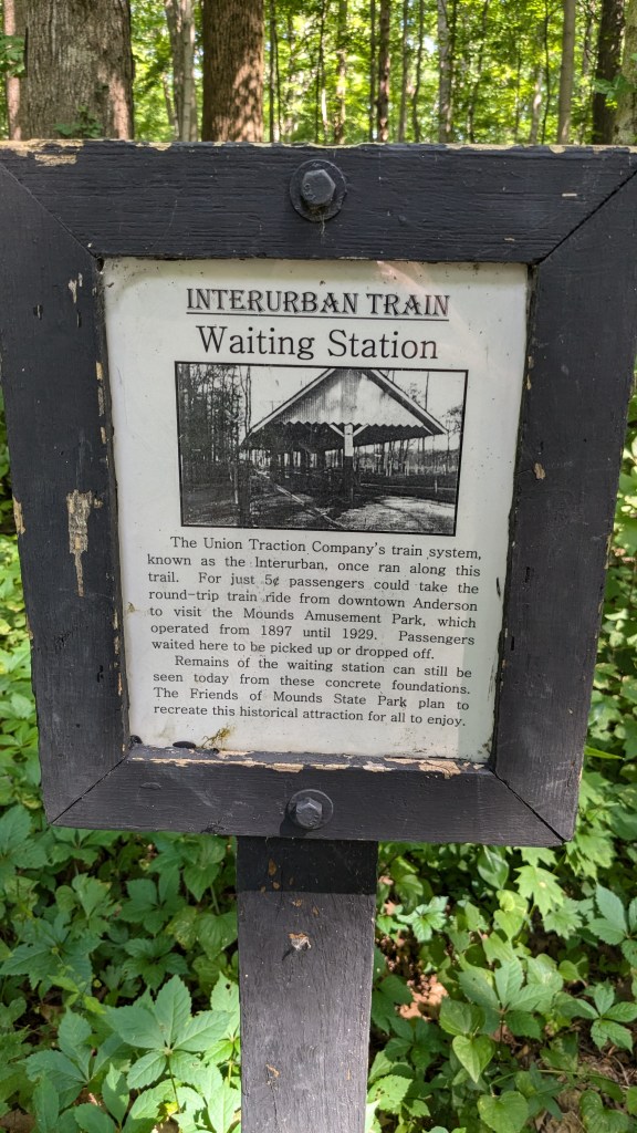
I was hardly off of the main path, Trail 5, but I took another roundabout way of returning to the path and came across the smaller horseshoe shaped earthwork in the woods. It had no signage. Where this trail (1a I think) was connected back to Trail 5, there was a small sign marking the long ago location of the Interurban train station. Interurban Trains used to connect communities all over the state, including my hometown of Franklin, with Indianapolis. They lasted until Henry Ford and others bought them and closed them, so more people would buy cars. This train station was for the amusement park.
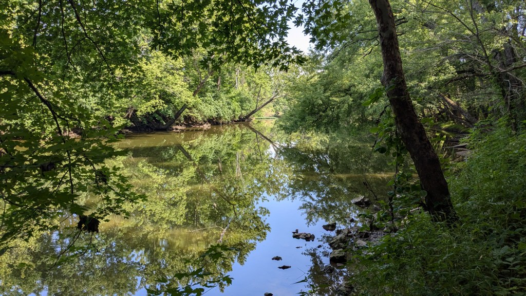
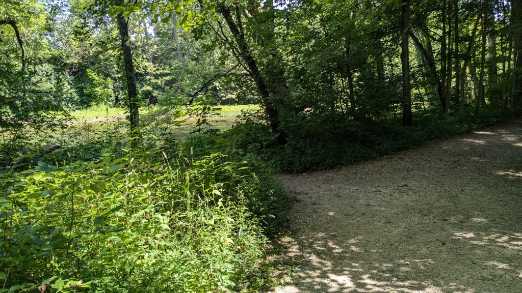
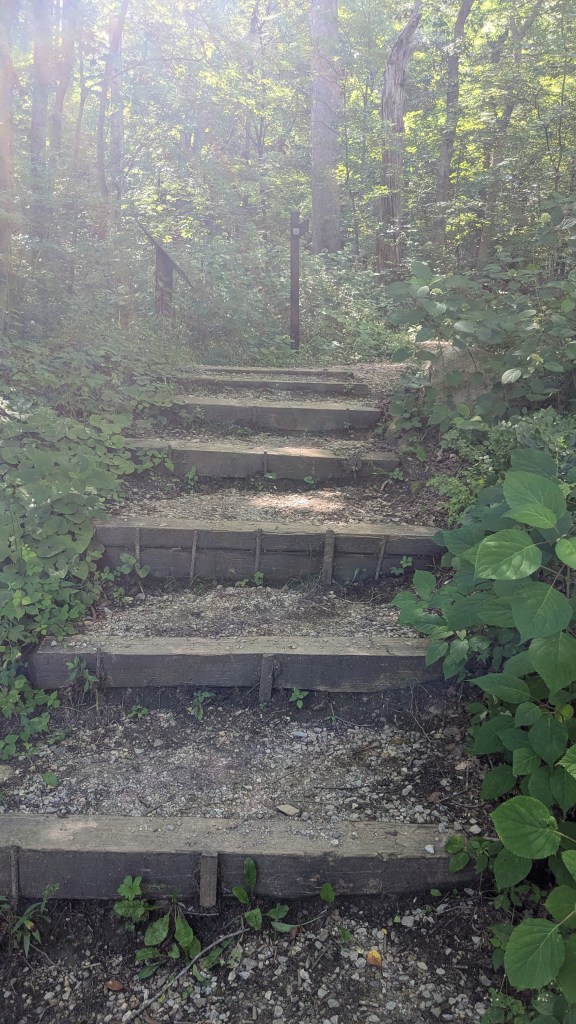
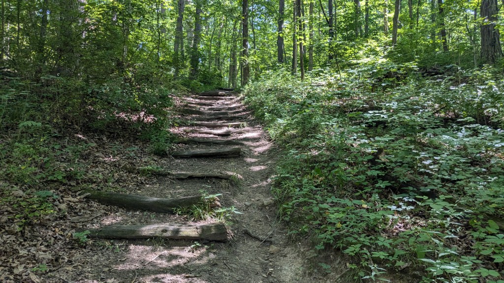
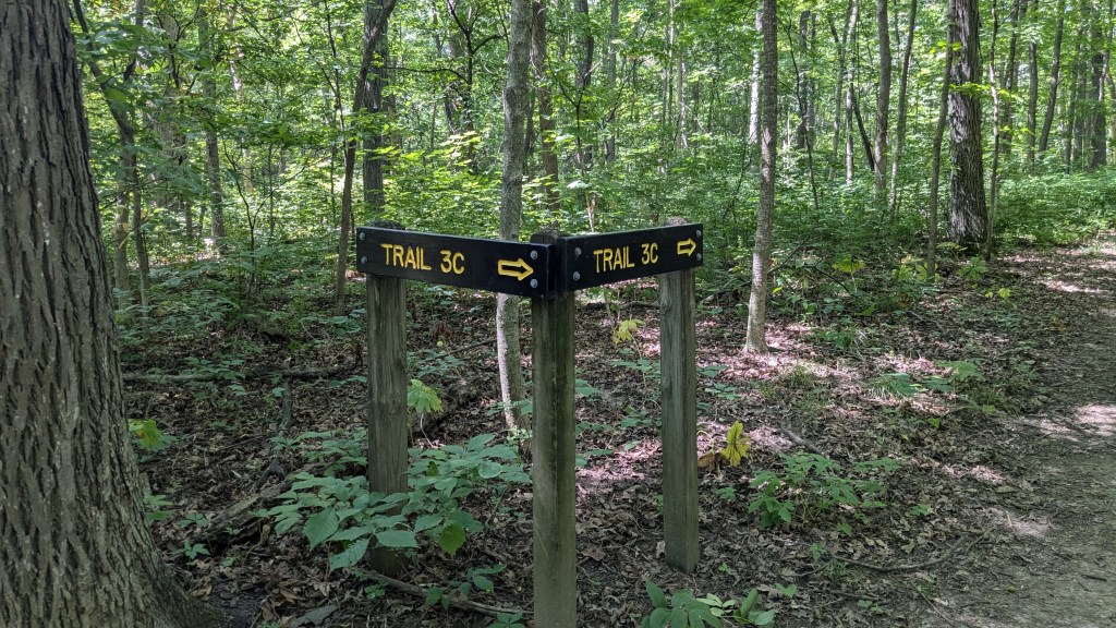
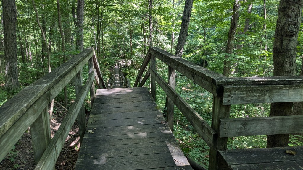
The mounds are on the flat area even with the road and surrounding countryside. The White River is in a small gorge about 100 feet below. Trail 5 took a nice leisurely path down to the river along the west end of the park, then turned and followed the river. Instead of staying on Trail 5, I decided to take Trail 2 back up the hill and then take Trail 3 back down to the river, just to add distance and see more of the park. Trail 2 had 79 stairs up the hill. Trail 3 is divided into a, b and c. They roamed over the small hills and ravines that led back down to the river in the middle of the park. Eventually they combined back together where they connected with Trail 5 once again..
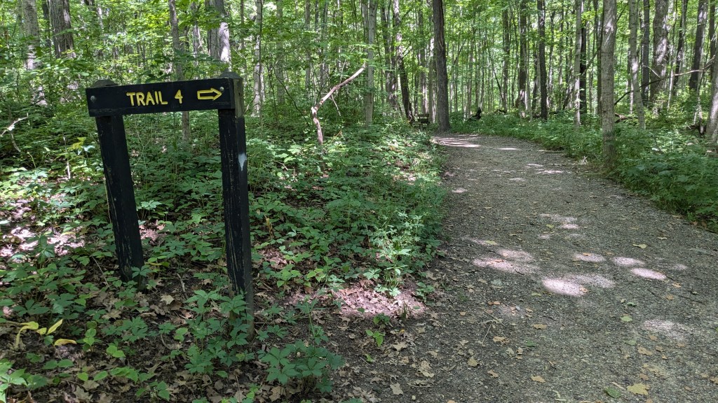
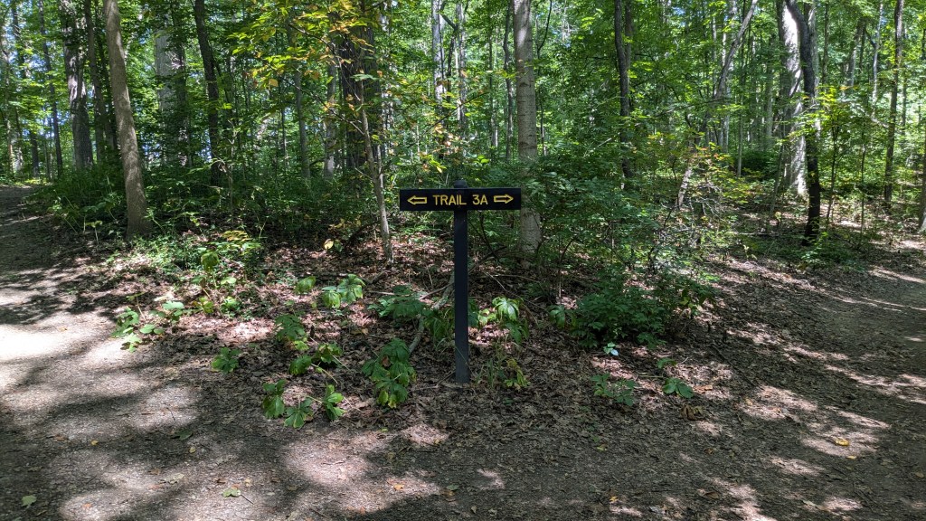
Eventually Trail 5 crossed a road, and it was here that I made a choice and then got confused. I will say that with only a few exceptions the trails were all well labeled. I took Trail 4 which cut across the eastern half of the park. My plan was to take 4b and come back to a place closer to where I had left Trail 5. The theory was that I would be able to see more of the park without skipping too much of Trail 5. However, Trail 4 split again without additional signs, and when they came back together I wrongly assumed I was in a different place. Nothing said Trail 5, but I thought I had already returned to Trail 5. Remember, I said earlier how small this park is. Well, it wasn’t as small as I thought.
Instead of being on Trail 5, I was on a spur of Trail 4 which led back to a parking area. Instead of turning around as I was looking for a bathroom anyway, I followed the road back around. I not only found a bathroom, but another circle mound which was built around 1AD. Had I not made the wrong choice, I would never have seen this other mound.
I walked along the road heading back west toward my car, until the map showed I was where another part of Trail 2 would lead me back to the large Mound. The first part of Trail 2 I hiked earlier had 79 stairs. This part of Trail 2 also had stairs. There were 36 down and 45 back up adding another 81 stairs. Back at the Great Mound, I worked my way back along Trail 5 to where I had parked my car. My Fitbit tracker said 4 miles. I guess I did pretty good at adding lots of extra trails.
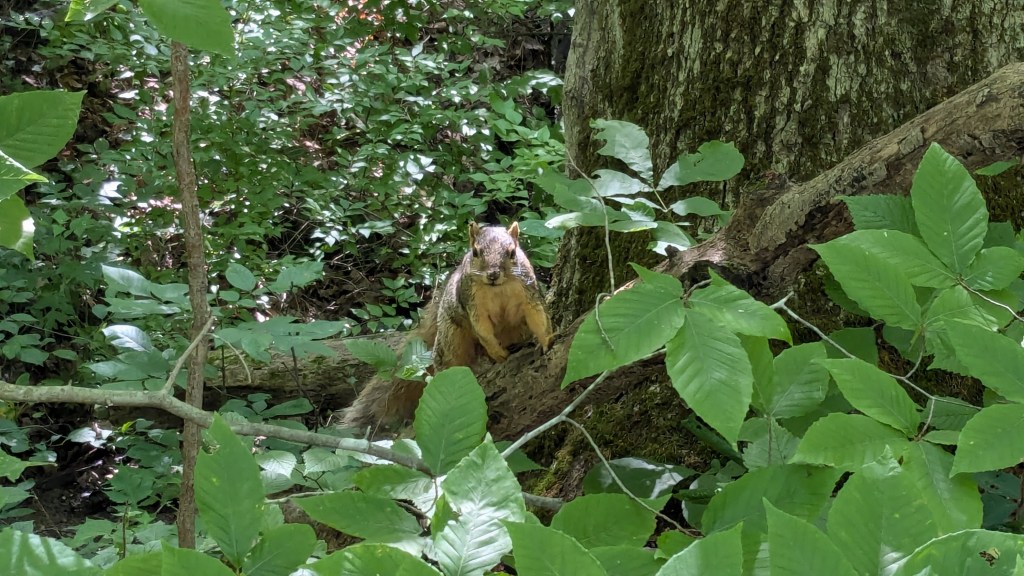
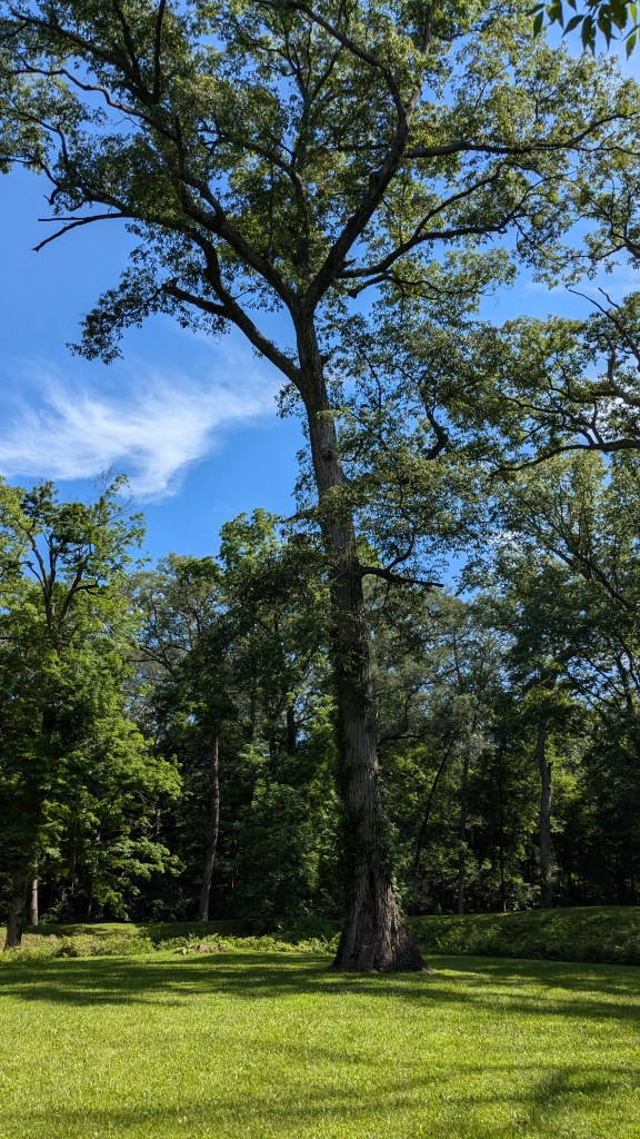
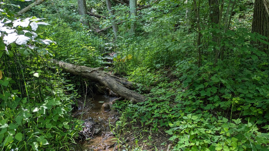
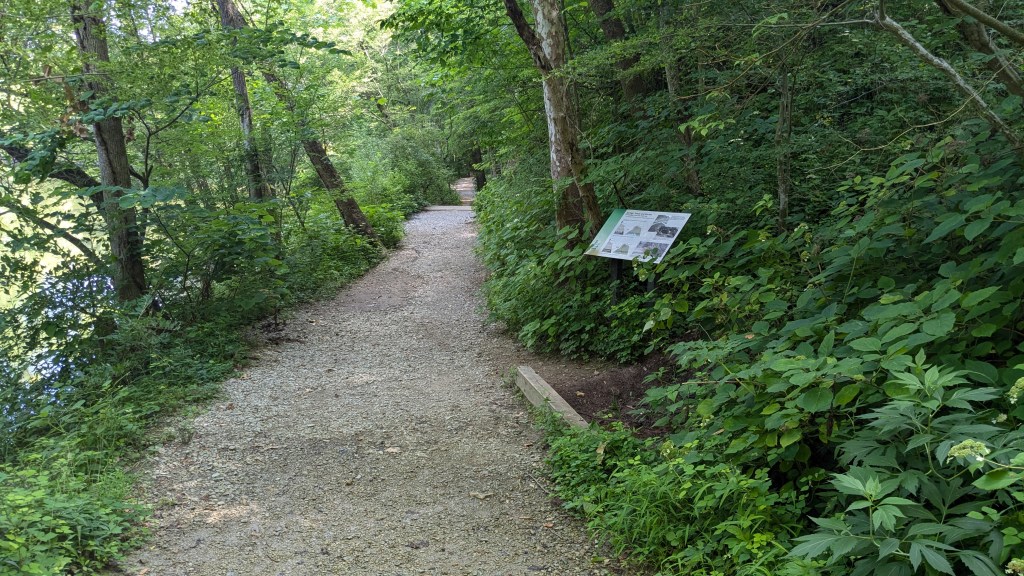
The park is nice. It is heavily forested with old growth oaks, poplar, birch and other trees. All of the trails except around the Great Mound were fully covered by the canopy of trees. It made for a comfortable hike on such a hot day. Another squirrel posed for me, and I saw and heard plenty of birds as well.
