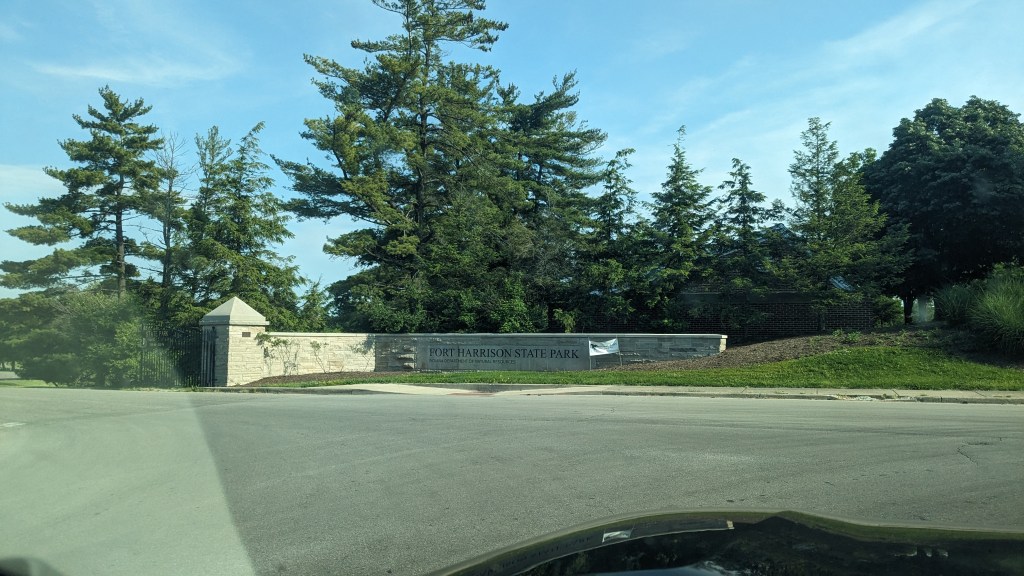
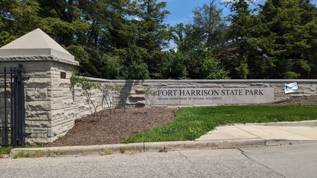
On the coolest day in a month (under 80), I headed up to Indianapolis and to Fort Harrison State Park. Named for Indiana Governor and US President Benjamin Harrison, the Fort itself is still part of the Army Reserves. You don’t have to go through any security to get to the state park. It is a little oasis in the otherwise eastside suburban community of Indianapolis.
Name: Fort Harrison State Park
Location: Along Fall Creek about a mile east of I465 on the eastside of Indianapolis
Established: 1996
Size: 1700 acres
Known For: Formerly part of Fort Benjamin Harison, it contains many walking and bike paths including a paved path through the park. The small ponds provide opportunities for paddle boats and fishing.


The Day
I got an earlyish start and made it up to the park by 10:30am, after an almost 2-hour drive. After so many above 90-degree days, it was surprisingly cool at around 78. I have been out of town quite a lot over the past month, and so I had taken my State Park pass out of my wallet. The gate attendant was very understanding and let me go on through without having to pay the daily fee. I guess I have an honest face.
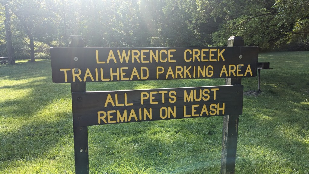
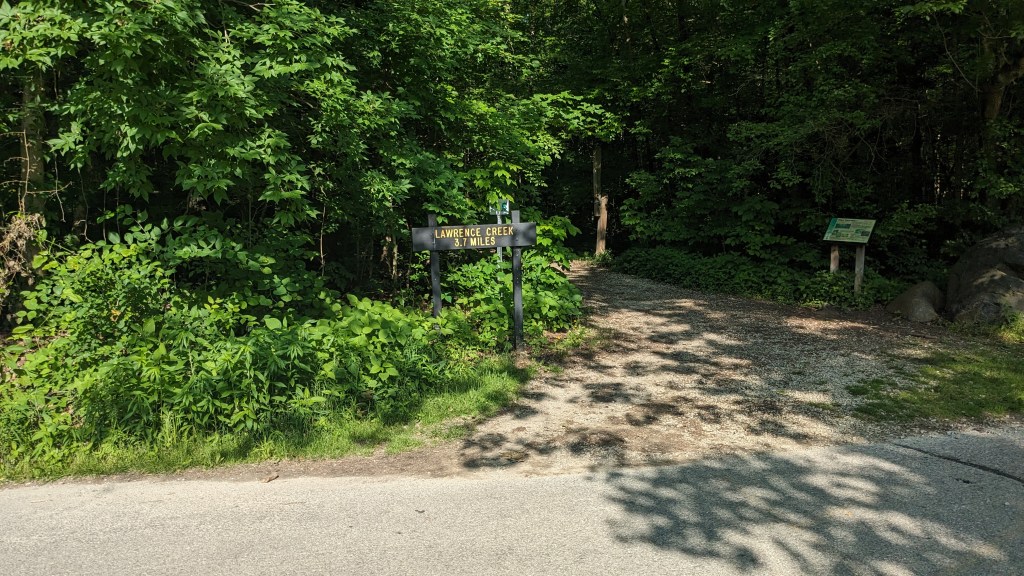
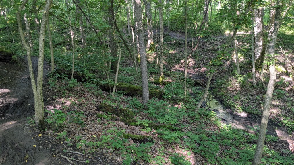
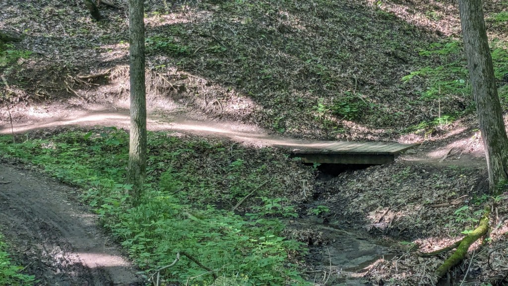
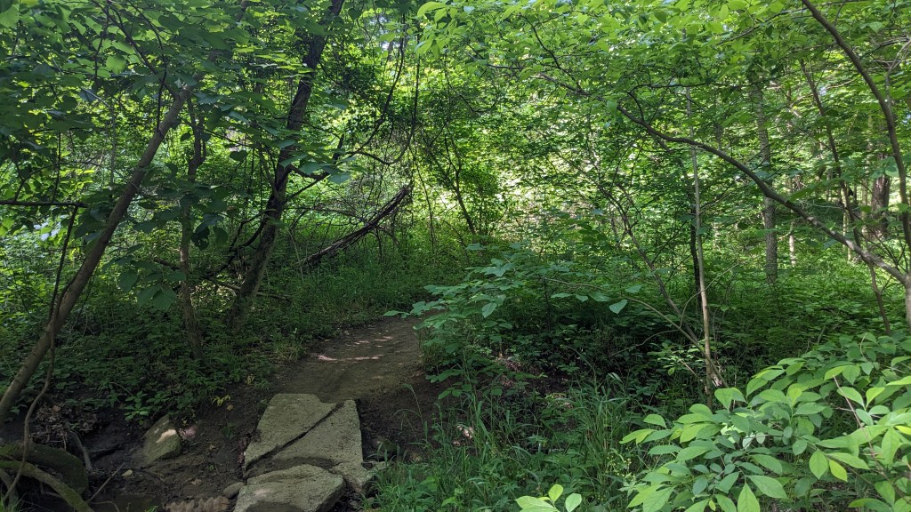
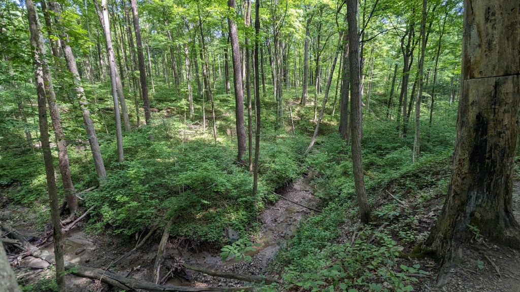
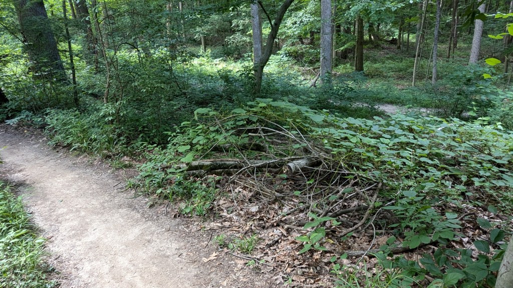
The longest hiking trail in the park is called Lawrence Creek Trail. It is a loop of just under 4 miles. The plot of land that the trail is on is completely surrounded by roads on 4 sides. Two sides are park roads and the other two sides are outside the park. I guess this makes the area the southwest corner of the park. The center of this area is a high point, maybe 100 feet, above the surrounding roads. This led to the formation of many small ravines leading out from the center to the roads.
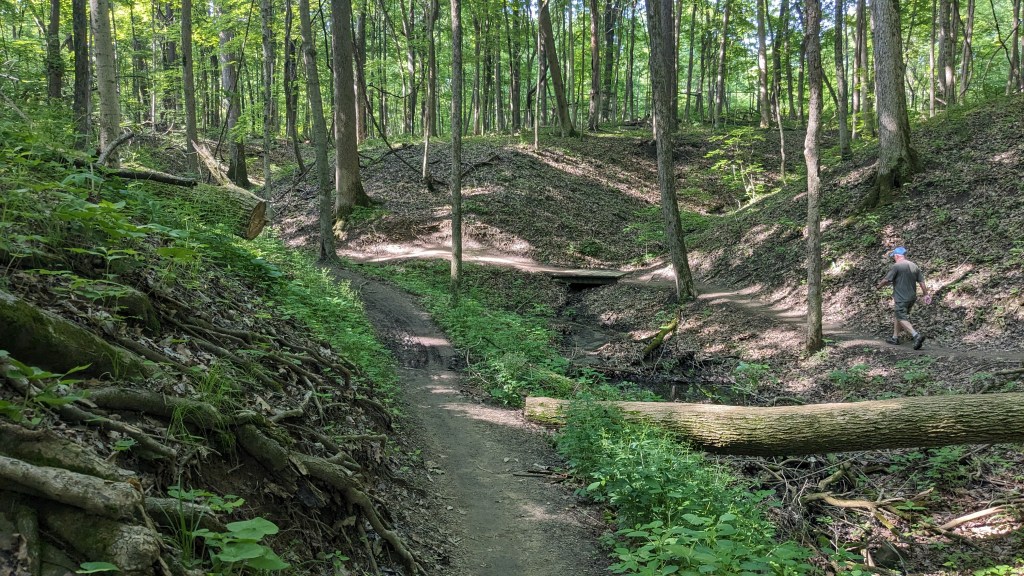
Every time the trail came to a new ravine, it would turn and follow the ravine up towards the center then cross and follow it back out to the perimeter. I imagine that if you walked the four roads you would barely travel 2 and a half miles. It is the constant rambling of the trail in and out of every ravine that gives the trail almost 4 miles in length. The rambling nature of the trail also disorients you enough to make what might otherwise be a boring walk around a small plot of land seem like an adventure with twists and turns beyond count.

At one spot in the trail, I could see the trail that I would be on in a minute or two and then across a larger ravine I could see the trail where I would be in 10 minutes or so. It was an odd feeling to see where the trails come so close, yet there is a fair amount of distance to travel to get to each spot. Other hikers were clearly not so patient. Several places had little use trails where hikers had cut through the ravines to shorten the trail. I’m not sure why they would do this; either you want to hike 4 miles or find a different trail.
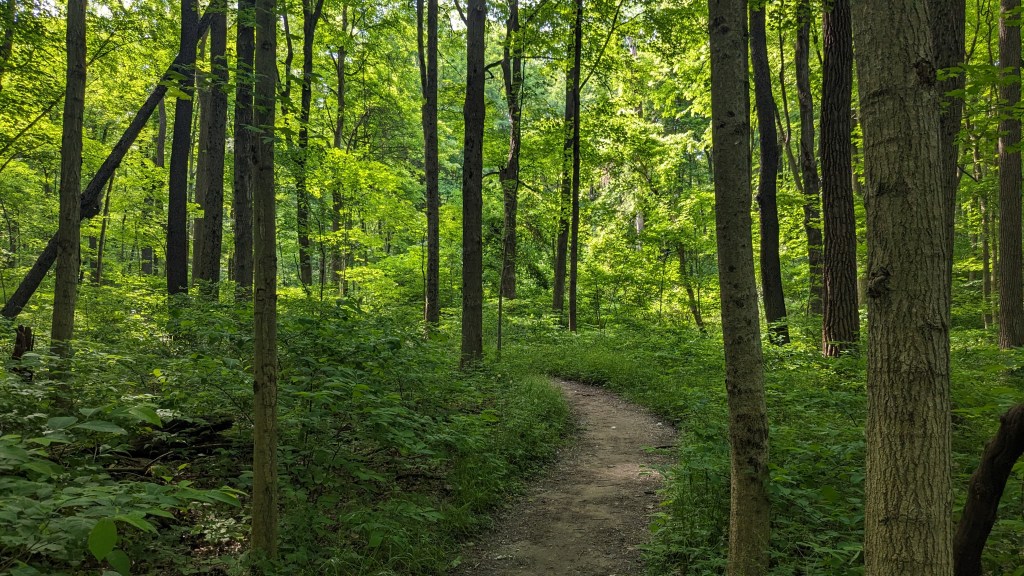
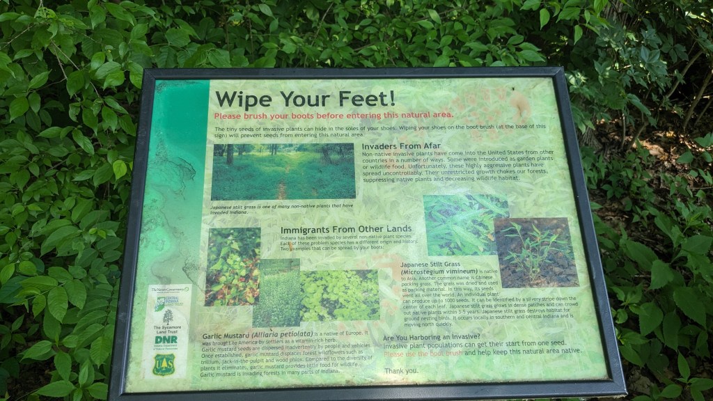
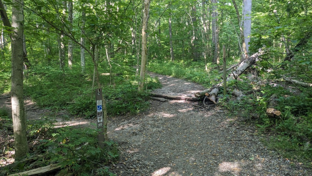
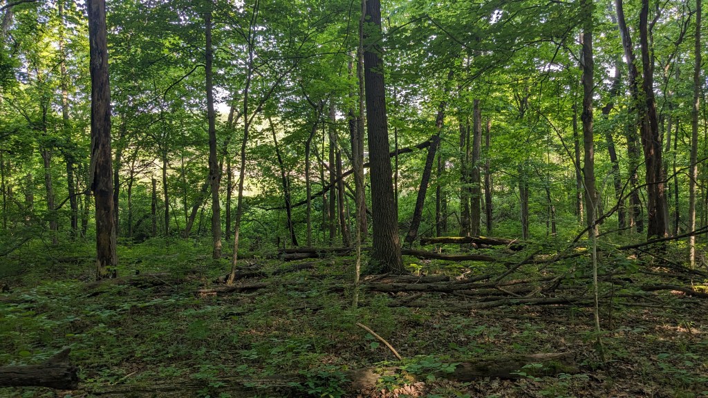
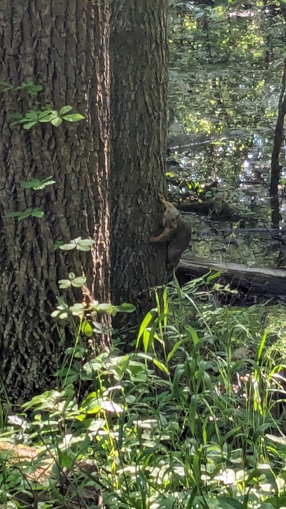
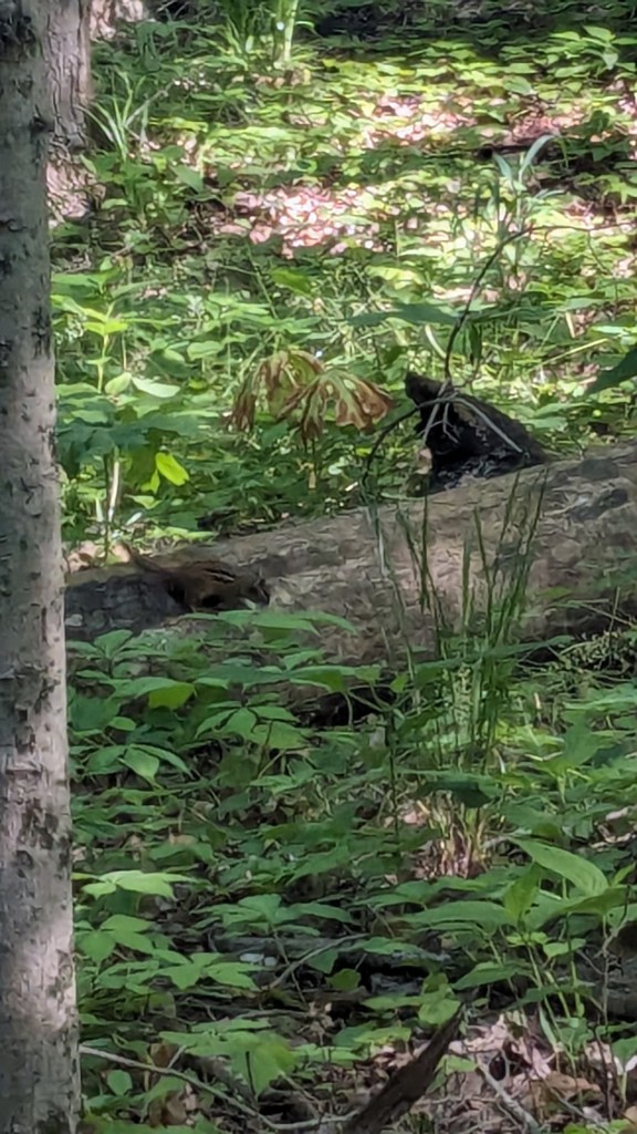
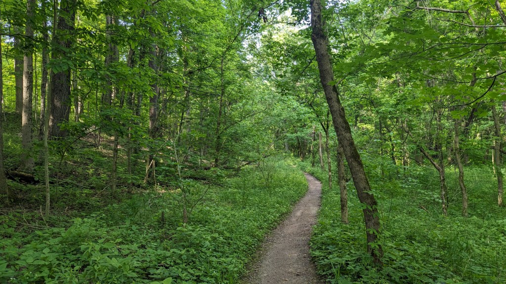
There was a dense tree cover over the entire trail. I barely saw the sunlight directly through the entire hike. The ravines still had water and there was plenty of short undergrowth, it seemed to be an overall wet habitat. One squirrel posed for me. I saw and heard a great variety of birds. They never seem to stand still long enough for a photo. The short vegetation meant that in most places you could see through the forest as far as the ravine hills would allow. It made the hike both isolating and visually interesting. The perimeter roads did have some traffic, but I wasn’t overly aware of it. None of the roads are major thoroughfares.
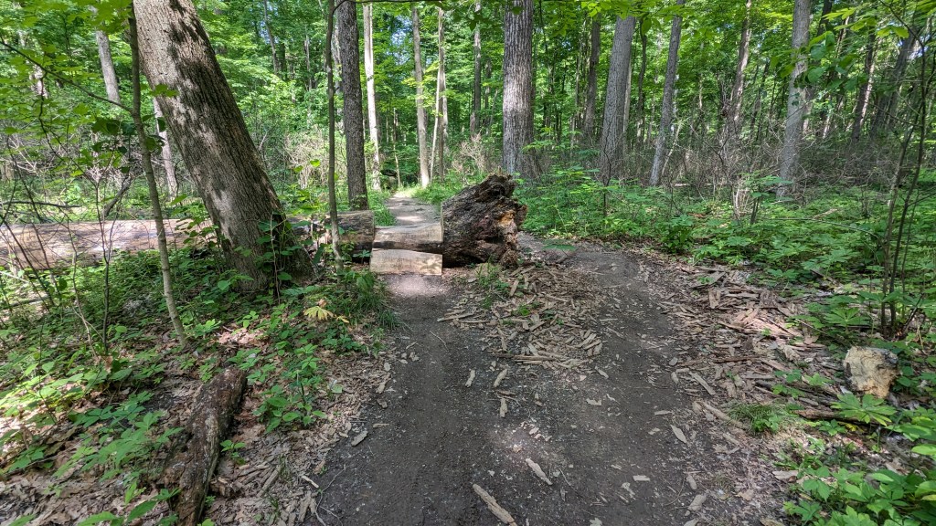
The trail is open to bicycles as well, and on this Monday morning there were plenty of them. The trail is often quite narrow, but I never had too much trouble getting out of their way. In a few locations, there were even small jumps put in for the bikers to add some excitement to their ride. Most of the time, with the constant twists and turns, I felt like I was all alone.
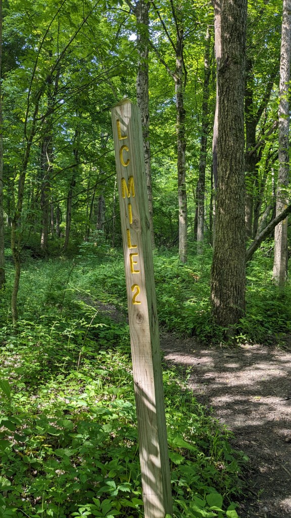
The trail was pretty well signed. There were only a couple of places where I could have taken the wrong path, but in those few places the correct trail felt pretty obvious. Someone decided to be helpful and put up mileage signs. The mileage signs were placed for a counterclockwise traverse around the circle and set based on my starting point. When I got to the 2-mile marker, I checked my own GPS activity tracking and it said 1.8 miles. I don’t fully trust my GPS, so I am willing to give them the benefit of the doubt.
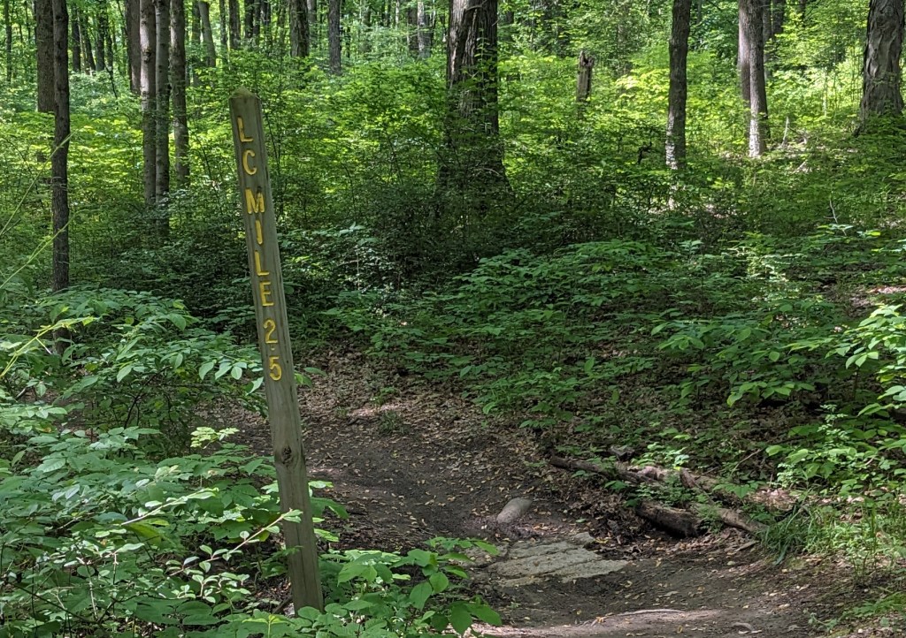
It was a long way through to the next marker, farther than I thought it should be, and when I did get to it, it said, 2.5 miles. “What?” I checked my GPS and it said 3.0 miles on the button. Two questions arose in my brain: 1. “Why would they have 0-mile, 1-mile, 2-mile, and 2.5-mile marker signs?” and 2. “Who thought this was anywhere close to 2.5 miles?” From the 2.5 miles sign to the beginning where I started was no more than a mile. That meant the 2.5 mile sign wasn’t 2.5 miles from anything.
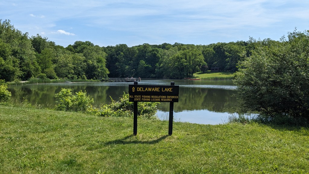
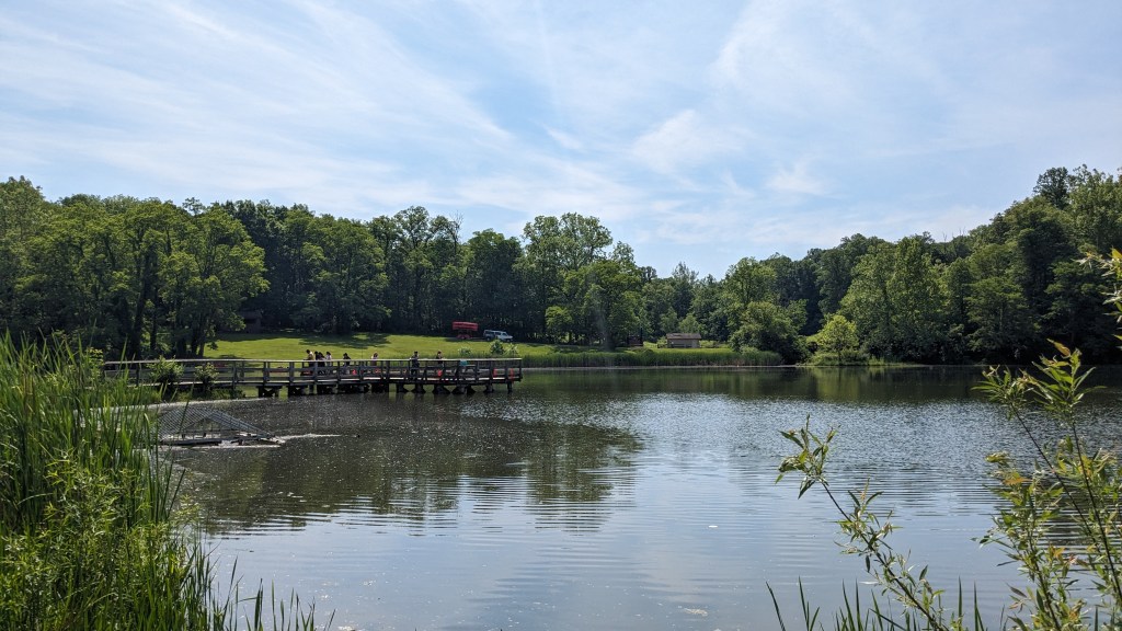
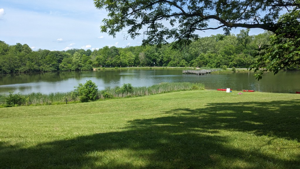
The mile markers aside, I was very happy with the loop, but at 4 miles I was ready for a little bit more. As I mentioned earlier, there is a paved 2-lane walking/biking path through the entire park from east to west. I drove my car over to the lake parking lot and walked around Delaware Lake. I could have gone farther, but I had plans to stop and visit with my parents, so I didn’t want to delay that too much.

Delaware Lake is a large pond with a fairly large fishing pier and canoe rentals. The paved path actually splits around Delaware lake, so you can hike around it entirely on pavement if you prefer. There are a few small trails that get you closer to the lake and several fishing spots people were using. The trail also continues east to Duck Lake, another mile or so away. If you live in the Indy area, this is a great park to get out and enjoy nature. There is also a large sledding hill for wintertime fun.
