New state parks for me to visit are starting to get farther and farther from home. Since I was going to the far east part of the state, I decided to visit two locations. I stopped first to hike one trail at Mounds State Recreation Area, and then drove on up to Whitewater Memorial State Park. The weather all day was beautiful.
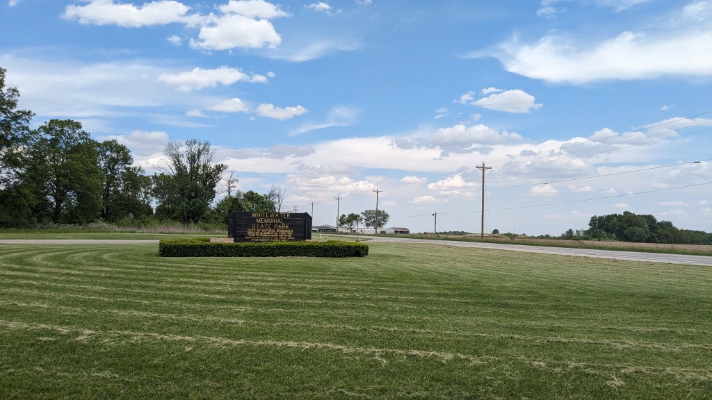
Name: Whitewater Memorial State Park
Location: 2 Miles Southwest of Liberty, IN
Established: 1949
Size: 1710 acres
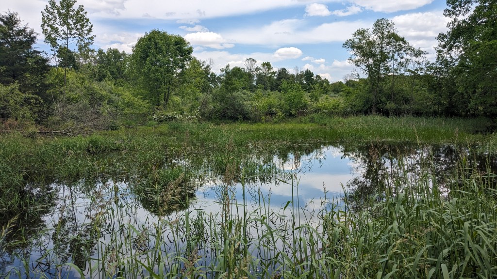
Known For: The 180-acre Whitewater Lake is part of land bought by the surrounding counties as a memorial for those who died in WWII. The lake is the main source of recreation in the park with boating, fishing, and swimming opportunities.


The Day:
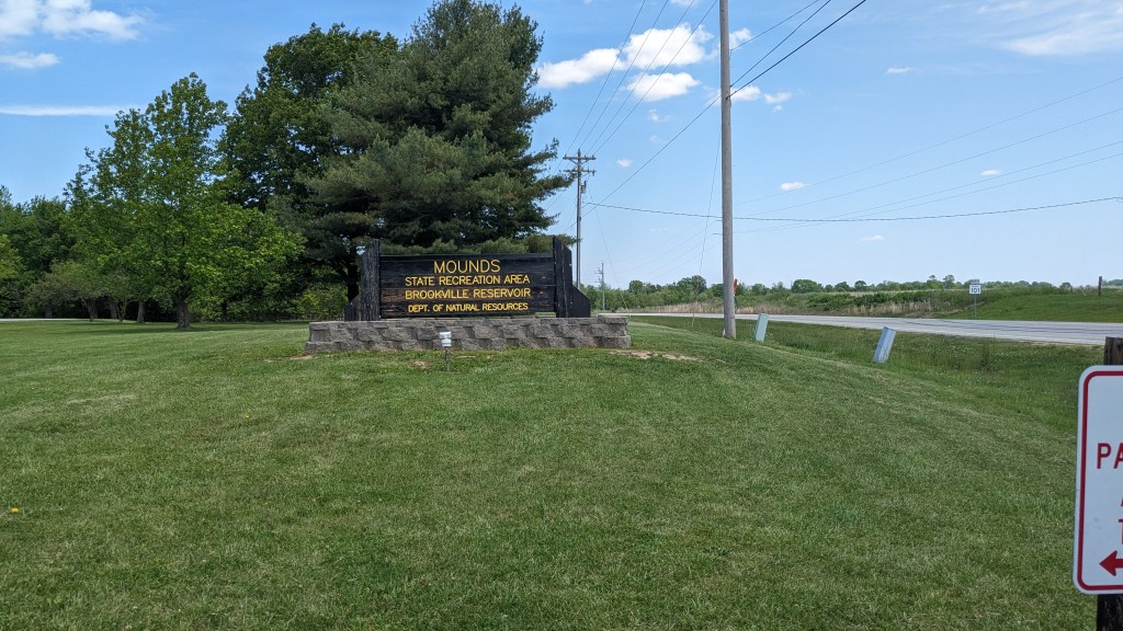
Despite my best efforts to get going early, I didn’t get to Mounds SRA until almost 1pm. In case you are wondering, this is a different location from Mounds State Park. Mounds SRA is on the East side of Brookville Lake. Driving up state highway 101, I saw the dam and several miles of different boat ramps and access points for Brookville Lake. The lake is several miles in length from north to south.
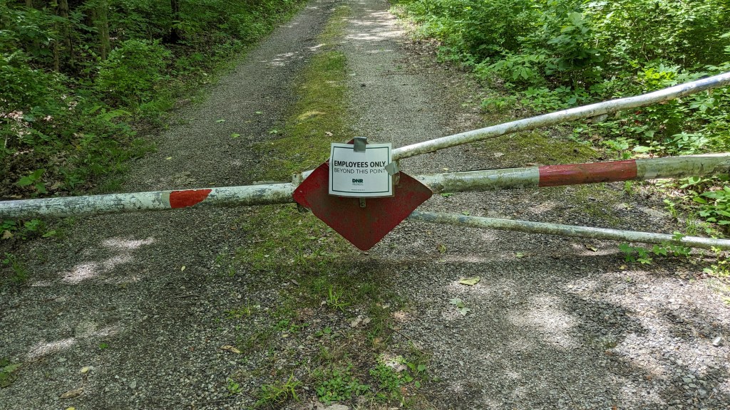
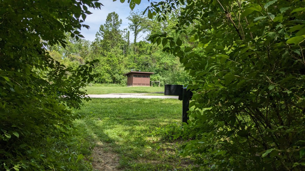
Driving into Mounds SRA, I got a map as I always do…and a good thing, too. The signage was not good. I drove all the way down the one main road to the beach shelter parking lot. According to the map, the trail crosses the road close to this area. I found a bathroom that was open, but no sign of the trail. I drove back up the road to the next parking lot. This seemed to be a parking lot and a bathroom, and that was all. As I pulled in, there was a fire road just beyond the parking lot. Based on the map, I was sure it must be the trial. I parked, got all ready to go, and headed down the fire road. I made it around the first turn and came to a gate with a sign that said, “Employees Only Beyond This Point.”
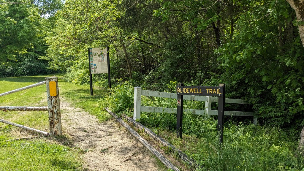
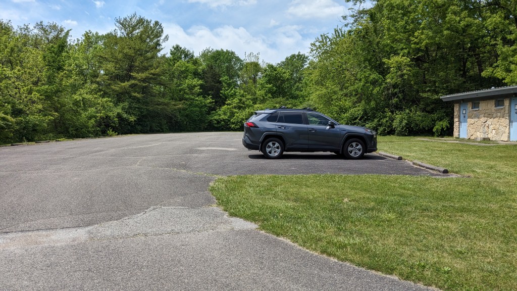
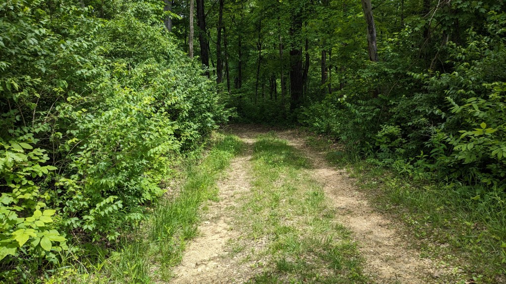
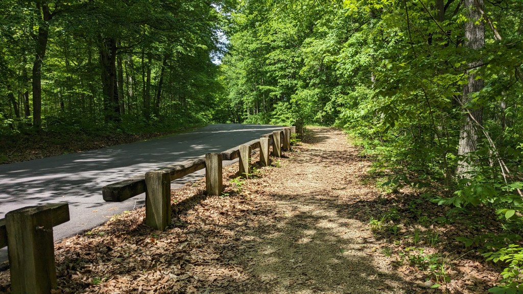
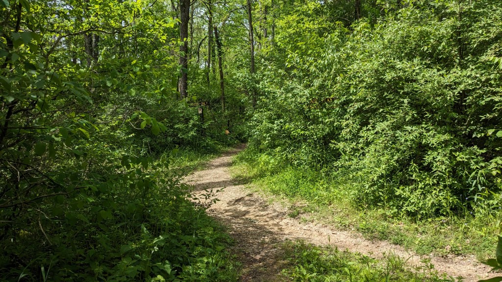
I walked back to my car, now getting frustrated, and drove back up the road. From this direction, the signage was much better. I quickly found the trailhead and a gravel parking lot next to it. The signs were all pointing in this direction, which is why I missed them on my first pass. The trail sign said “Glidewell Trail,” so I had to look up the map again and make sure that Trail 2 was in fact Glidewell. With that confirmed, I headed down the trail.
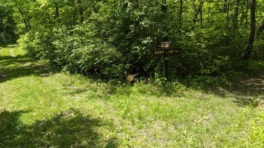
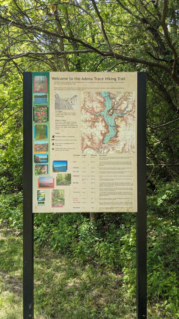
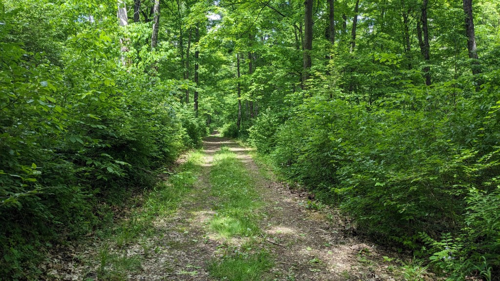
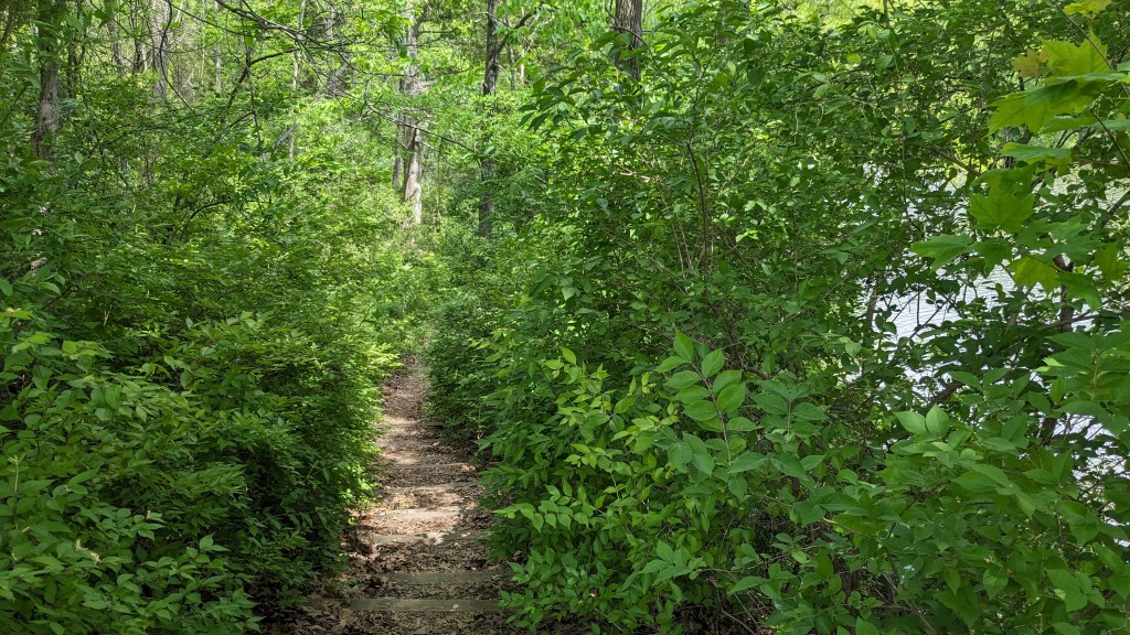
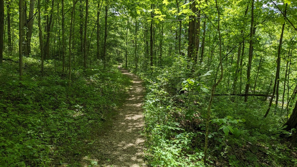
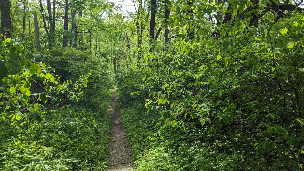
Reading about the trail on the map, it had 2 distances. This is because there is a short loop and a long loop. I soon came to a large sign with those words on them “Long Loop” and “Short Loop”. Assuming you have a map and know what that means, you are set. I turned right, which was the “short loop.” This led along the side of the ridge above the lake. I could tell this because I could easily hear the motors on the passing boats. Seeing the lake through the dense undergrowth was a near impossibility. I think there were only a couple of spots that I could see any blue at all.
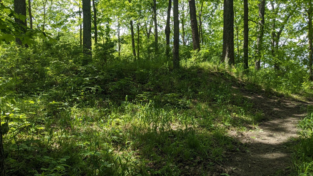
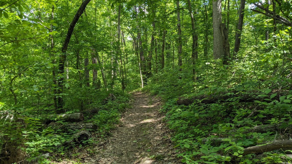
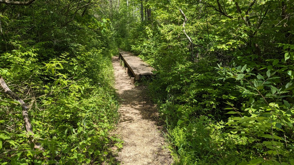
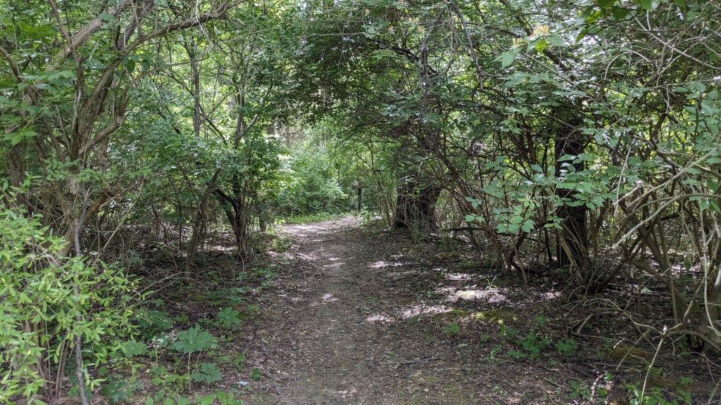
The trail was fairly flat despite being on the side of a hill. There were a couple of times it turned and went straight up the hill, but then soon returned to a basically flat trail. It was a trail for sure, and not a fireroad as the the start was, and almost all of my trails have been at my last two parks. The trail was easy to follow, and eventually, I came to a large sign and a very small hill. The sign said, “Glidewell Indiana Mount 10BC” The mound itself now had the same trees and brush growing out of it that everywhere else had. Without the sign, there is no way I would have seen it for what it was. The sign was large enough for passing cars to read (if there had been a road anywhere near it). It seemed out of proportion for the location. Another equally big sign was on the other side of the small mound for hikers coming the other way.
I had a choice now, to backtrack or continue around the short loop. It was probably longer, but I decided to continue on and see more of the trail. I passed a small pond filled with croaking frogs, and then met a fire road. No doubt the same one I had started on. Another large sign pointed right down a fire road and said, “Short Loop,” the trail I was on continued back into the woods with a sign that said, “Long Loop.” Nice large signs, hard to miss.
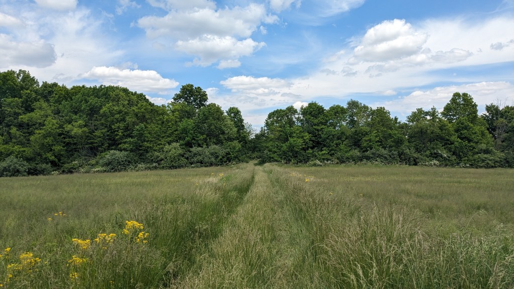
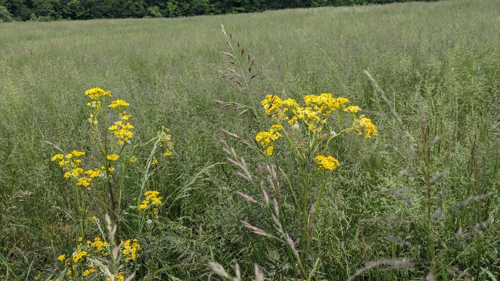
I called it a fire road, but really at this point it was two tire tracks in a field of very tall grass. My first thought was that I would need to check for ticks after this adventure. I crossed one large field after another picking the tire track that seemed to have more wear and less grass dragging along my pants. In all, there were 5 large fields I had to cross. Each was divided by a small treeline. Finally, I left the last field and came to where the “Long Loop” came back to the fire road. I simply continued down the fire road past where I had turned right an hour earlier and then came back out to the trailhead and the end of this first adventure.
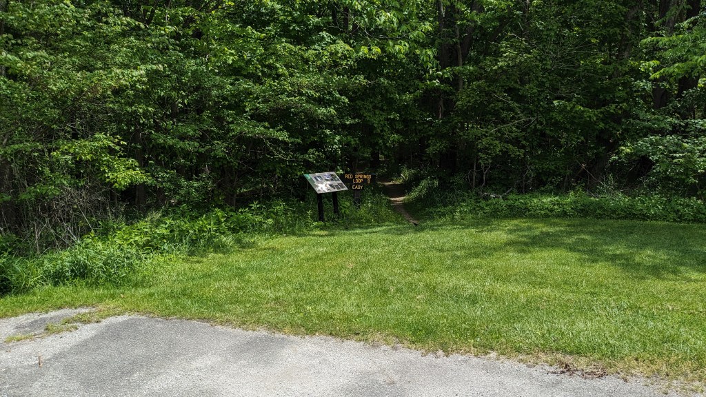
I then hopped in my car and drove the 10 miles or so up to Whitewater Memorial State Park. The trails in this park do not interconnect. They all, or at least the ones that I was on were independent of one another. This meant I had to drive from one to the other. In the end, I decided to hike only the 2 longest…neither of which were really that long. The first was the “Red Springs Loop” and the second was the longest trail called the “Memorial Loop Trail.” I thought this was appropriate as the park is the Memorial State Park.

The Red Springs Loop Trail was a loop with one half on the north side of the road and the other half on the south side. The north side of the loop was labeled “Easy” and the south side was labeled “Rugged.” Now you have probably figured out that to do the loop you have to do both the easy and the rugged, so I thought it was funny to have two halves of a loop labeled differently.
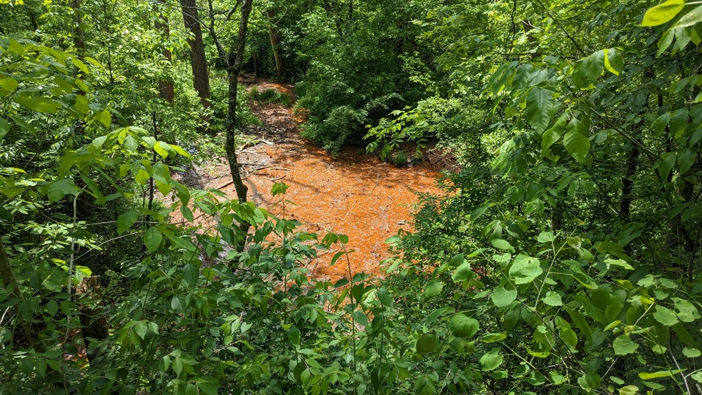
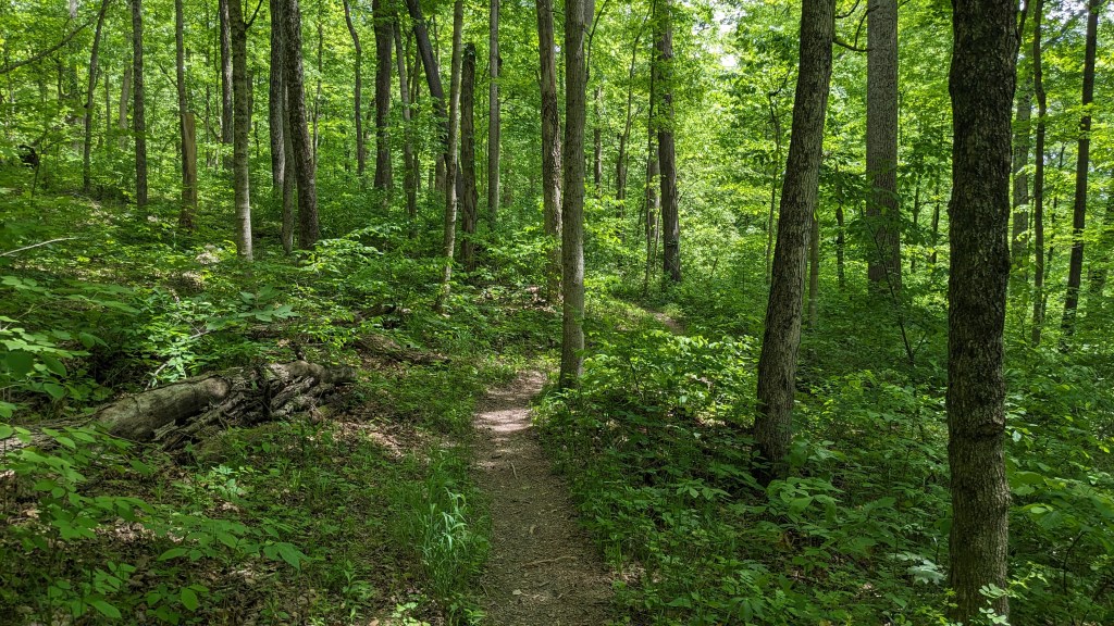
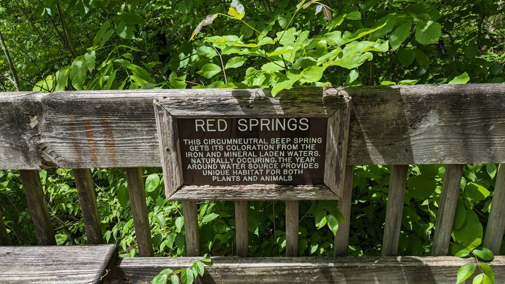
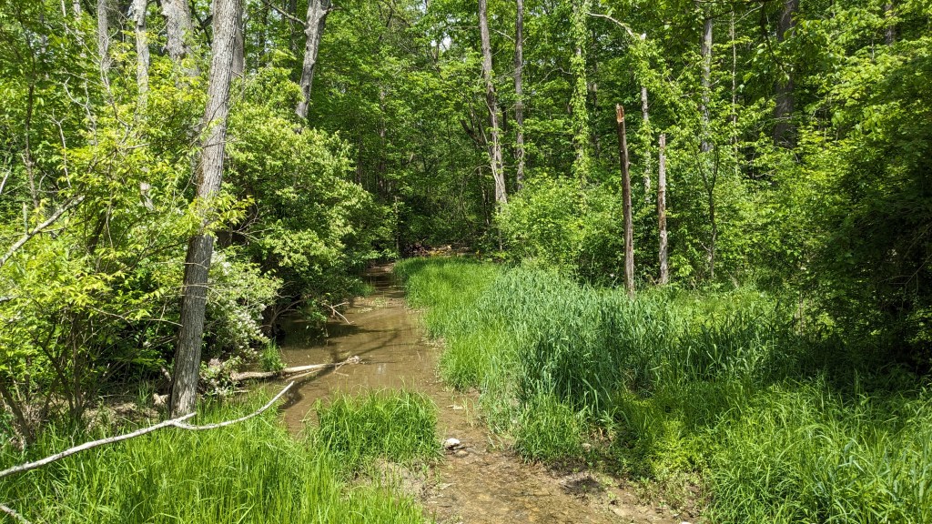
I decided to take the rugged side first. This side of the loop dropped down into a canyon and at the bottom was a very red spring and creek. There was an overlook that I thought had grown over, but the view was down, and from there you could see into the very red water of the natural spring. The sign at the overlook said that it was a circumneutral seep spring and gets its red coloring from iron and other minerals in the water. Despite its coloring, it is safe for the animals and plants.
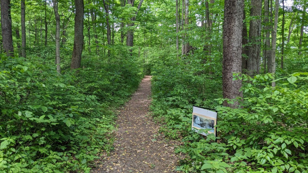
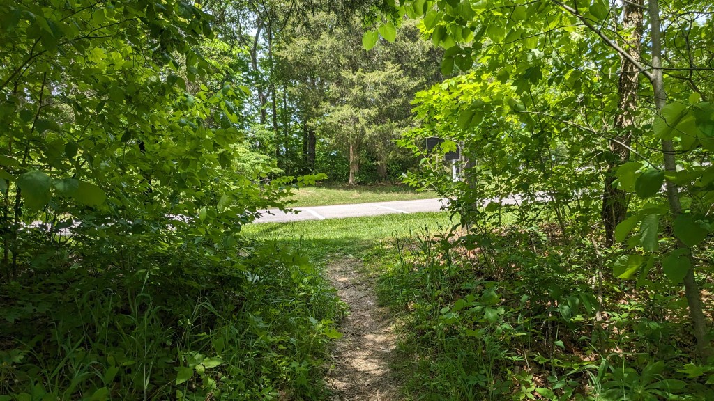
The other half of the loop was, indeed, very easy. It was flat and mostly stayed close to the road. The most unique feature was a series of signs along the route, each with a unique picture and short essay about winter. It felt like it was all part of a book or something. There were 16 of them in total, which meant there was one every 100 feet or so. They were interesting to look at, but I wondered what their purpose was, and why they were here. The last sign said it was part of StoryWalk and was promoted by the UCP Library. With a special codeword, you could pick up a prize at the front office. When I wasn’t looking at the signs, the Whitewater lake came into view at a few spots.
Having completed this loop, I was ready to take on the larger Memorial Loop Trail. It was on the other side of the spillway and so I had to drive over and find one of the “Many places to start the trail” as the brochure described it. The problem was that many of the picnic sites and even playgrounds had no marked spaces for parking. Perhaps this is part of my California living, but grass out there is hard to come by, and so parking on the grass is usually forbidden.
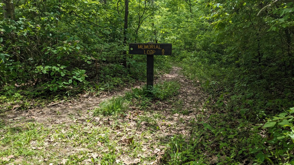
I started with the spot that was clearly a parking lot, however, there was clearly NO TRAIL at this parking lot. The map was very clear that the trail came right in at the end other parking lot. No room for misinterpreting, but I saw no trail. Instead, I had to find another spot. I finally pulled onto a gravel road next to a playground and then pulled off the road onto the grass. Once I was sure that the ranger parked across the road wasn’t going to come over and give me a ticket, I got myself ready and started out on the loop. It was clearly marked with a large sign, “Memorial Loop.”

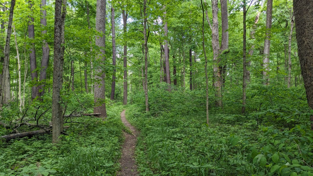
This was a great trail for watching the wildlife. There were lots of birds singing their variety of songs. I also saw squirrels and chipmunks as well as a few smaller creatures. The trail was mostly flat allowing me to focus on the nature around me. The trail soon came to the lake and turned left in the counterclockwise direction I was now traveling. In a couple of places, the trail came right out to the water affording some great views of the lake.

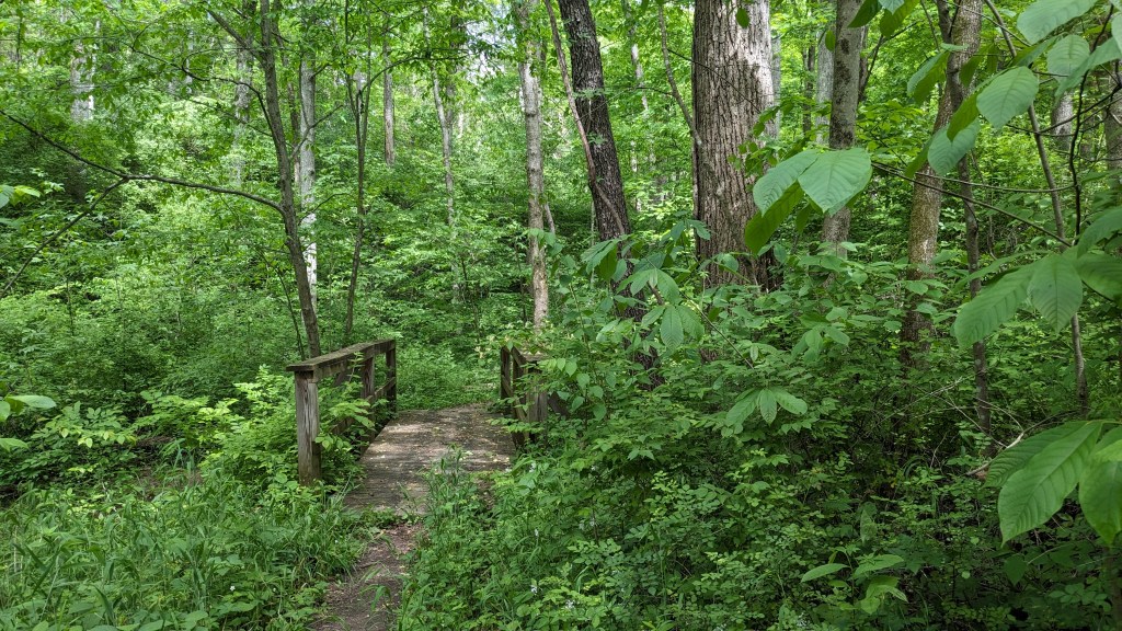
Along the way, there were benches every so often which would make nice stopping places. After close to a mile, I came out at “South Shelter” house, which was at the end of a one lane road. Had I come down this road, there were plenty of actual parking spots here right on the trail. Maybe next time I’ll park here. From here, I followed a finger of the lake back into a swampy area where there were plenty of bridges and wood structures to keep me out of the muck.
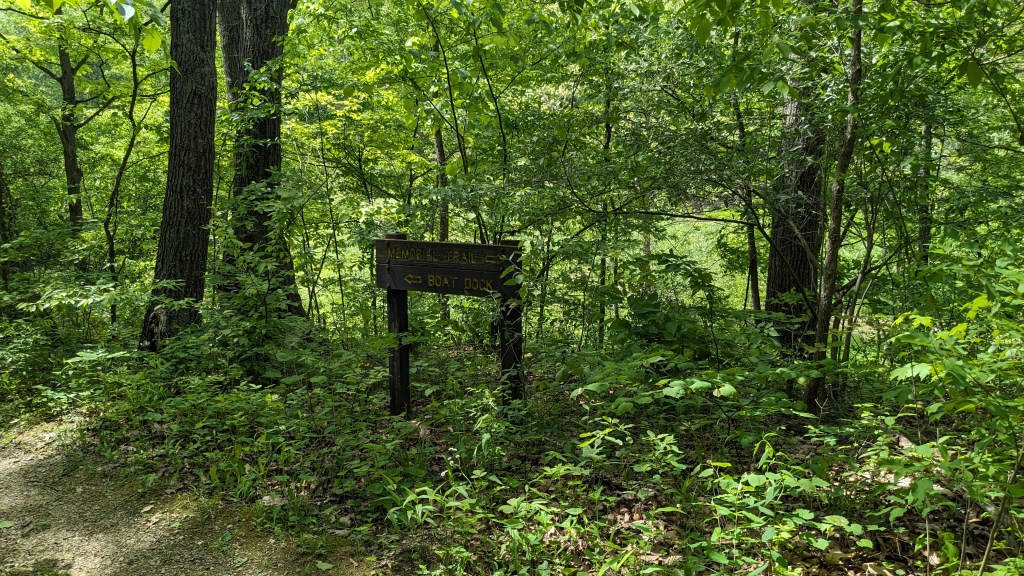
When I followed the far side of the finger back out to the main lake, I came to an intersection. Here the trail was clearly marked with a side trail to the boat dock. This was the trail I tried to find first, but couldn’t. If it followed the water around then It came out at a different location than the map indicated. That would have to be an investigation for another time. I took the left trail and continued my counterclockwise hike along Memorial Loop.
From here, the trail left the lake and traveled inland. Eventually, it made one of its two road crossings and traveled even farther from the lake. This part of the trail follows the eastern border of the park and crosses a horse trail a few times in the process. There was always clear signage as to where to go. The trail came out near the Poplar Shelter which I thought was near where I had started. I wasn’t looking at the map at this point, or I would have realized that I was a half mile or more north of my starting point. From here, the trail parallels the road, sometimes closely… sometimes out of sight of the road. If it had been a Saturday with lots of traffic noise, this part might have been less enjoyable. On a Monday afternoon, there were no more than 2 or 3 cars while I hiked this part.
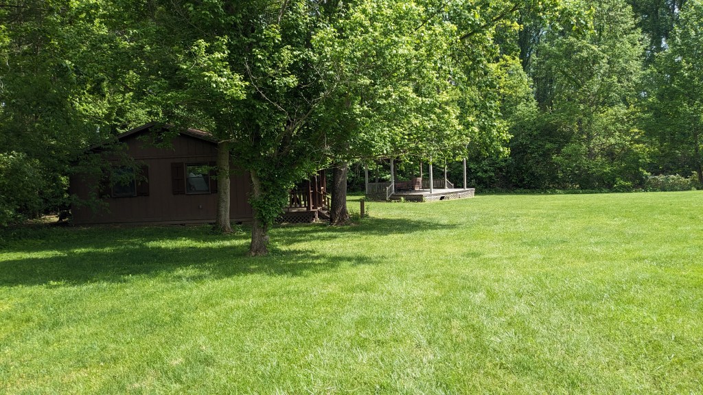
Eventually, I came back to the general area of where I started. Where I parked was across the road from the Naturalist Cabin. I could see once I looked at the map, that campers in the north part of the park could use this part of Memorial Loop to get the Naturalist Cabin without walking on the road. For that purpose, this part of the trail would be really nice. When I saw the turn off for the cabin, I knew I was back to where my car was. Luckily, there was no ticket on my car. Parking on the grass here appears to be just fine.
The park is listed as 1710 acres in size. Of course, the lake takes up a chunk of that space. There is also a large section of the park on the far north end of the lake with only a horse trail. Maybe someday I’ll hike the 9-mile horseback trail which follows the entire border of the park. I enjoyed my time here. The water was beautiful and I enjoyed the variety of different ecosystems that I passed through.
