While Illinois may be the known as the land of Lincoln, Indiana holds onto its portion of the life of Abraham Lincoln. He spent his boyhood years here from 1816 to 1830. Lincoln State Park is next to the Lincoln National Monument. They are across the road from each other, and a trail connects the two. While the National Moment holds the place where their cabin likely was, and the gravesite of Nancy Hanks, Abraham Lincoln’s mother, the state park holds much of the land where Lincoln probably wandered and hunted as a boy.
Name: Lincoln State Park
Location: Southern Indiana about 35 miles Northeast of Evansville
Established: 1932
Size: 1,747 acres
Known For: The park was formed as a memorial to Abraham Lincoln’s boyhood home, his mother, Nancy Hanks. It is also the final resting place of Sarah, Lincoln’s sister. There is a lake for fishing and swimming, as well as campsites and cabins for the families.


The Day
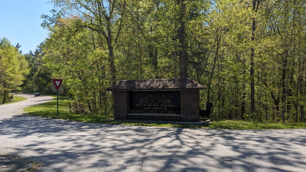
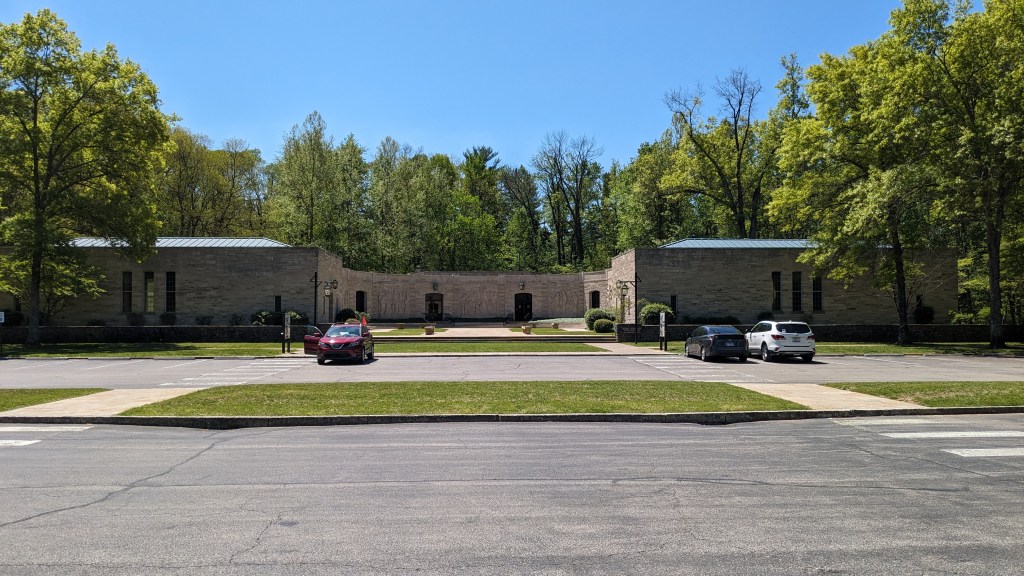
After the 2-plus-hour drive last week, Lincoln State Park seemed pretty close. Coming down the road to the park, it was odd to see a state park and a national monument right across the street from each other. I turned left into the state park and got a map from the gate attendant. I parked in the first parking lot. Which was for the Bicentennial Plaza. It was cooler today, but I was still able to start and hike the whole day without a coat.

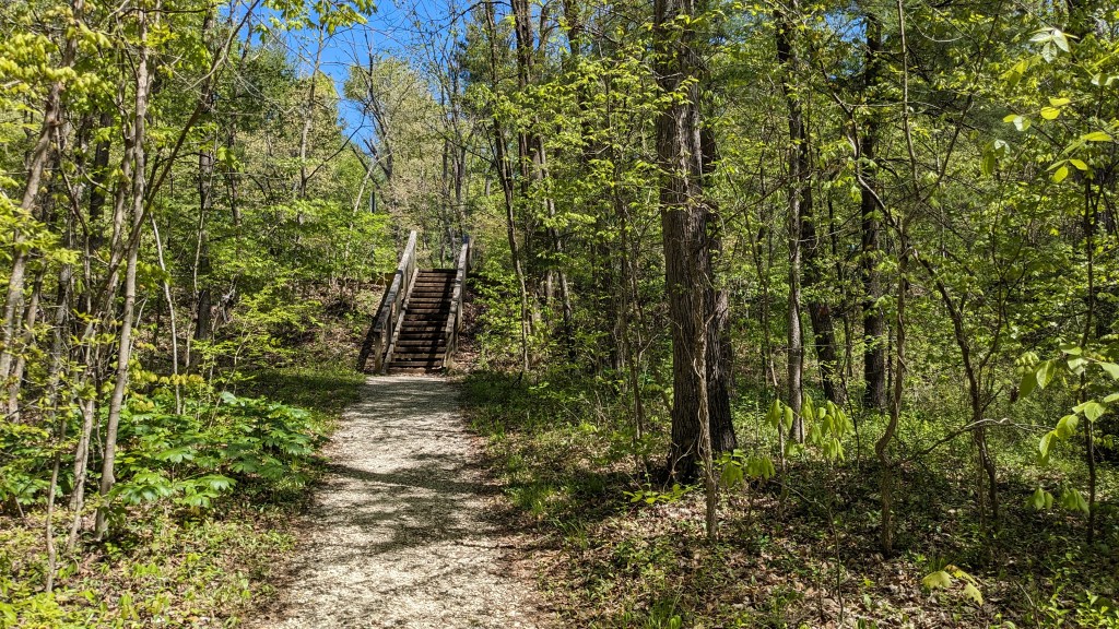
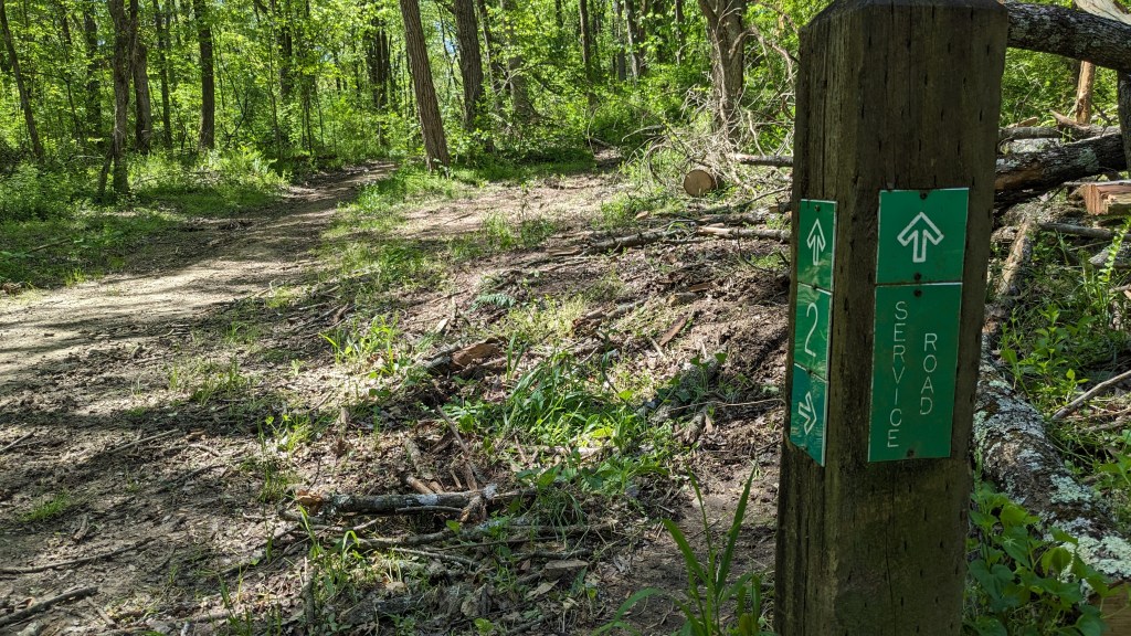
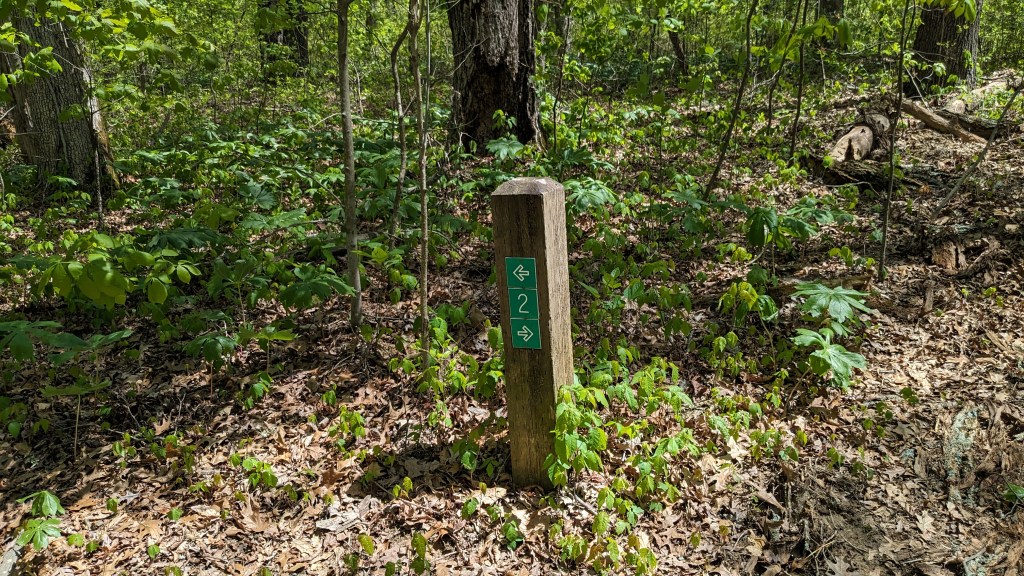
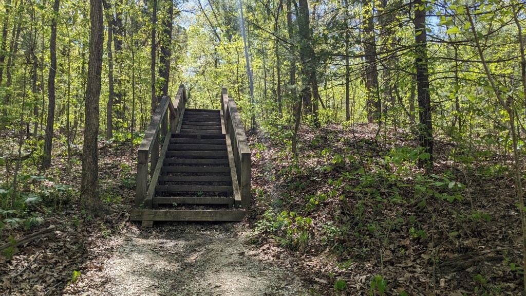
Looking at my map, my first destination was the Lincoln National Monument across the street. Trail 2 that starts along the main entrance road has a spur that leads up about 20 stairs and then across the road to the national monument. I walked over and saw the lawn leading up to Nancy Hank’s grave and in the same parking lot was the visitor center for the national monument. I took a couple of pictures and then returned down the same trail back to Trail 2, which was a ¾ loop that leads around the northeast corner of the park to the lake.
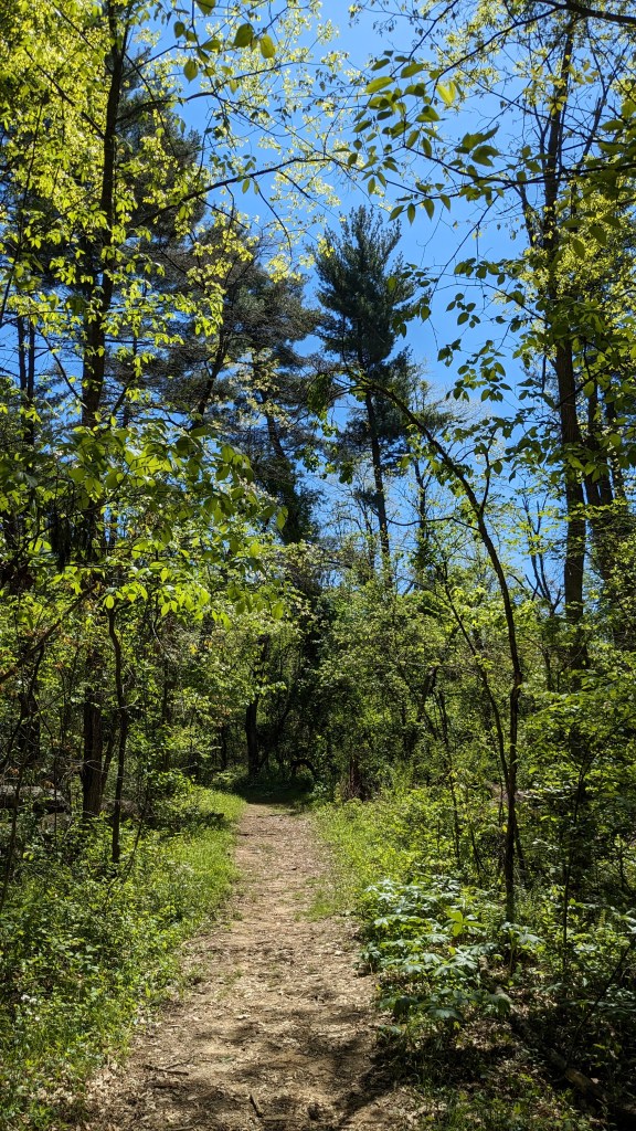
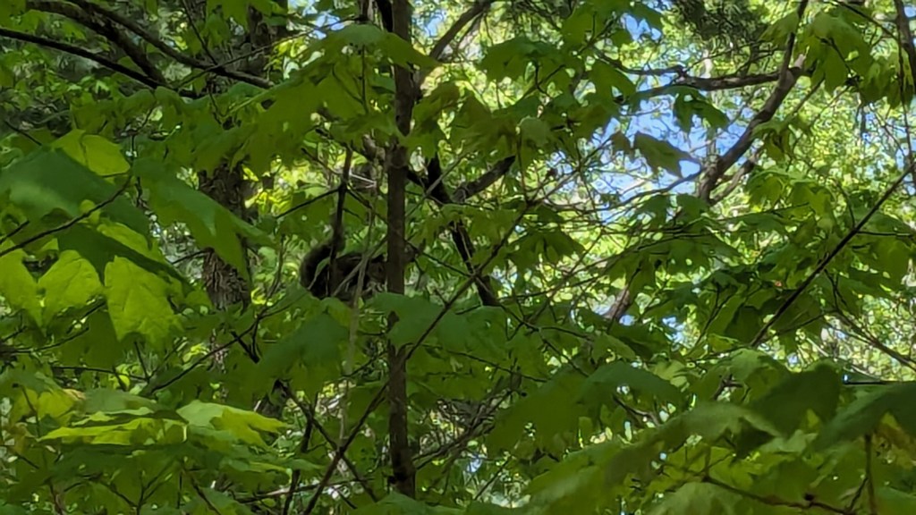
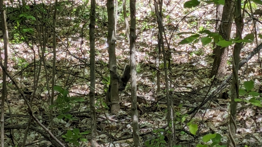
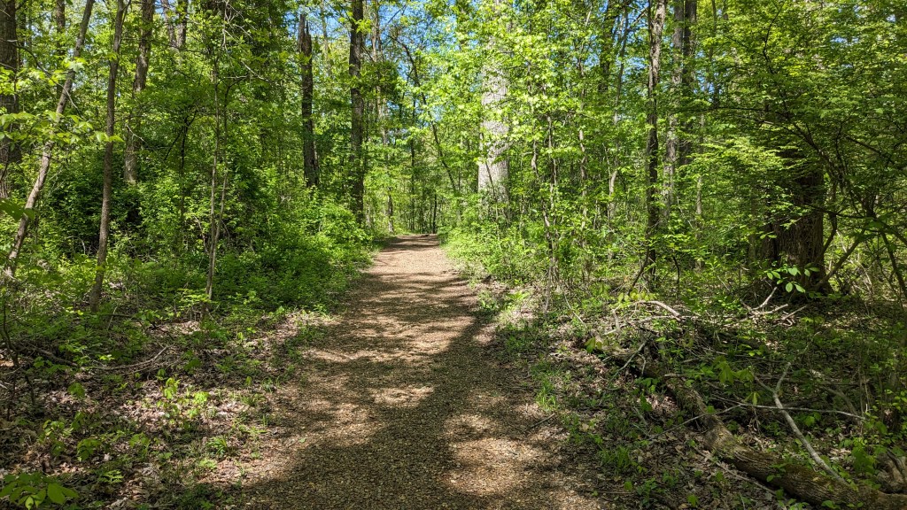
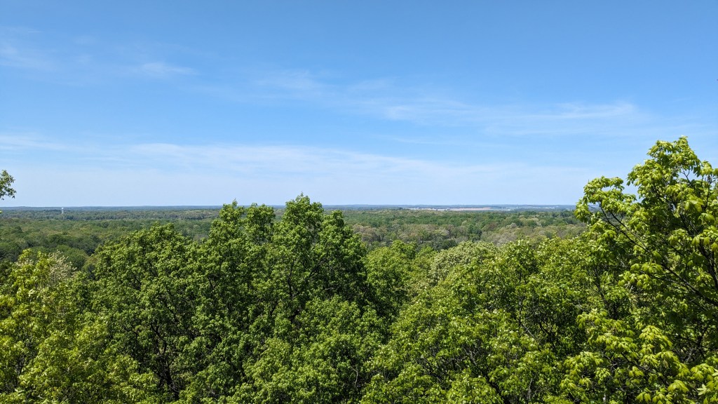
This part of the park has something I haven’t seen much of in Indiana. There were several groves of pine trees. The dry hills and pine needle forest floor remind me of the Sierra Nevada Mountains in California. Much of Trail 2 is flat. It’s a little too close to the road, though you couldn’t possibly see it through the underbrush. On a quiet Monday, there wasn’t much traffic on the road, so I hardly noticed. What I did notice were the squirrels. There were so many that I was actually able to get a photo of a couple of them.
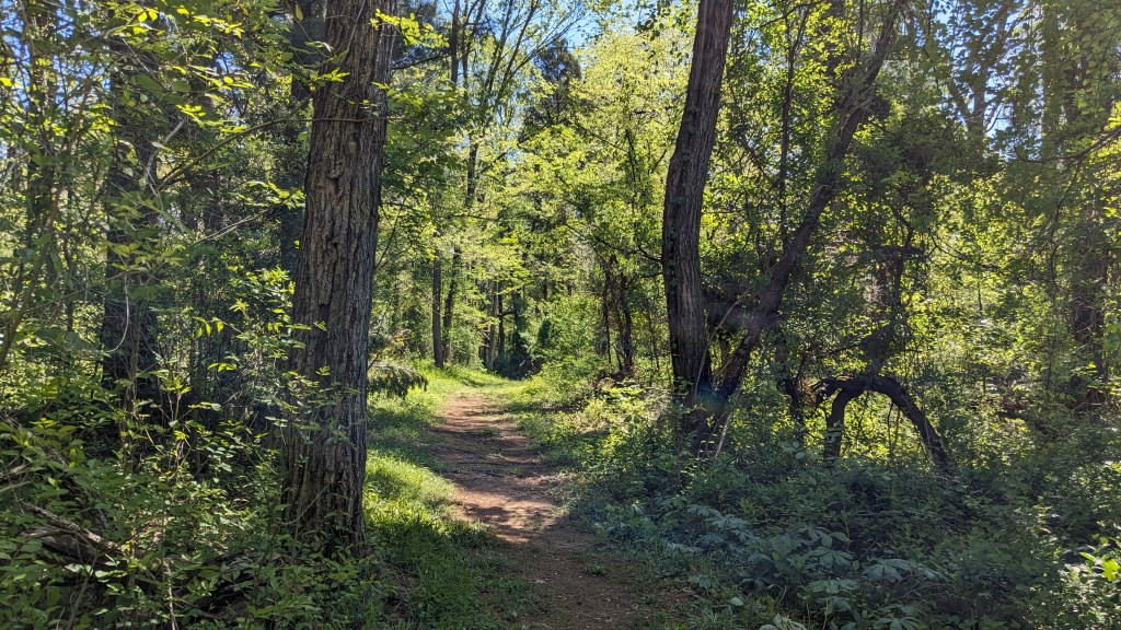
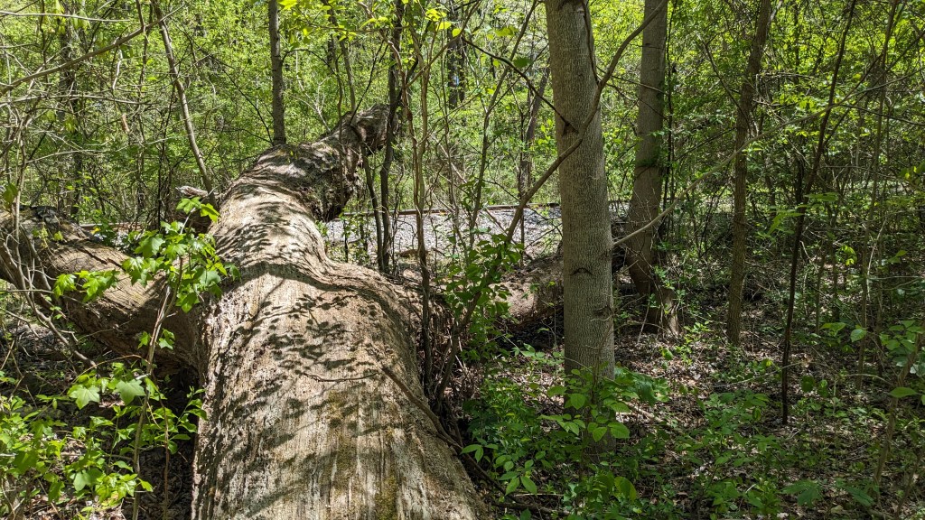
Once the trail turned at the corner at the northeast corner of the property, it followed the local rail line which marks the park’s eastern boundary. Moving south the forest seemed to get wetter. There were small ponds here and there, and small hills and ravines meant the trail was no longer flat. There were several places where I had to carefully walk around the muddiest parts. Though I did find that even the muddy parts were not as soft as they appeared.
Spring is full tilt here. Bugs that have been dormant all winter have started buzzing around my head, but some beautiful butterflies are now fluttering about as well. There seemed to be two kinds: one black with white dots at the end of their wings, and the other with orange wings trimmed in brown. I heard several woodpeckers doing their work of finding bugs in the large dead trees.
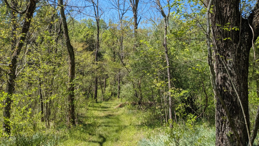
The 2.1 miles that make up Trail 2 seemed longer than I expected. Perhaps that was because of the several different environments. In addition to the pine groves and the wet areas, there was also an area that had seen a fire in the last few years. The removal of the canopy by the fire allowed for large areas of wildflowers to grow in the open areas.
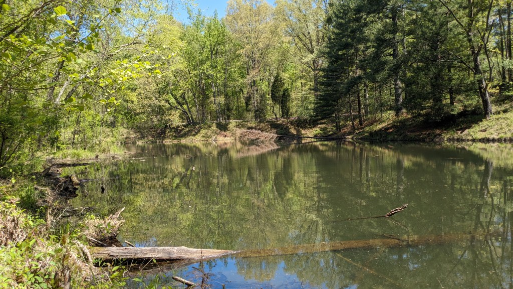
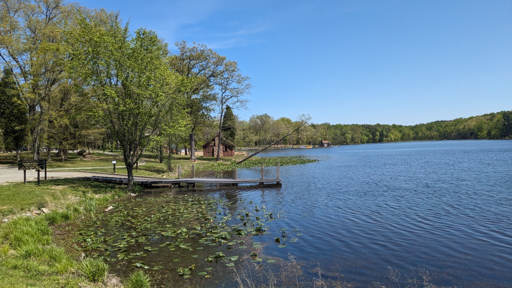
In the last section, the hills got closer together the ground got wetter and at one point the small creek and the trail became one. Luckily others had placed some advantageous stones and made an alternate trail off to the side. I figured as the trail got wetter, I must be closer to the lake. That soon proved to be correct.
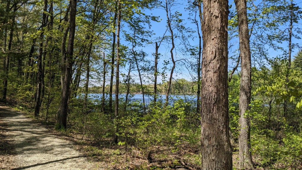
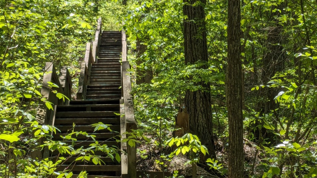
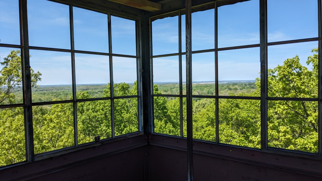
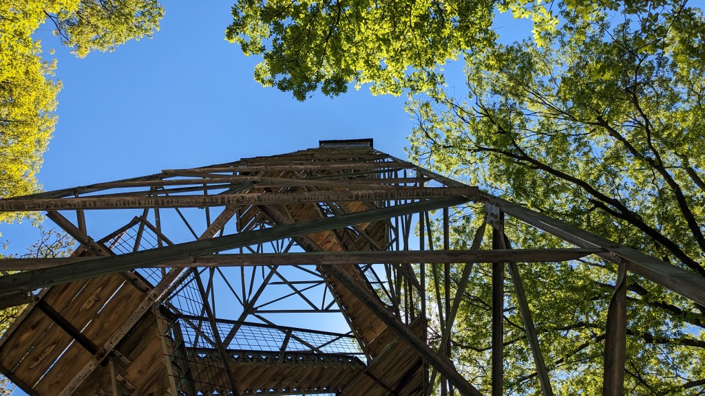
Eventually, Trail 2 came around to Lake Lincoln and a junction with Trail 1 which circles the lake. I didn’t hike much of Trail 1. Just around the first corner, I came to a trail which led up the hill to a firetower. This trail doesn’t have a name nor a measurement of its distance. What made me choose it was that there were two trails, so when I left the firetower I wouldn’t have to come back down the same trail.
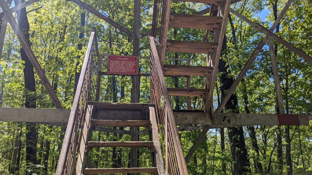
This trail started with stairs and ended with a long steady climb up the hill till I reached the knoll at the top and the fire tower in its center. I climbed the 8 levels to the top of the tower. I suppose that when it was in use, the trees were either smaller or were cut down. Today, there is barely a view except to the northwest and a small opening to the southeast. After climbing back down, I headed down the second trail which was longer and flatter as it dropped back down to Trail 1 and the lake.
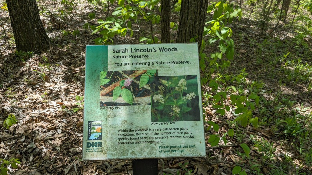
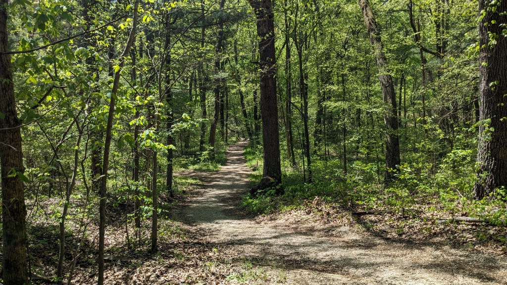
Standing at this junction of Trail 1 and this fire tower trail, I could see the next turn off just 20 or 30 feet away. Here I took Trail 3 which is a larger loop which goes out to the south end of the park and comes back at the dam on the lake. At the south end of the park is Sarah Lincoln Woods Nature Preserve. When I got that far on Trail 3, there were actually nice signs announcing the border with the preserve. Trail 3 is a pretty easy trail compared to the later parts of Trail 2 or the fire tower trail.

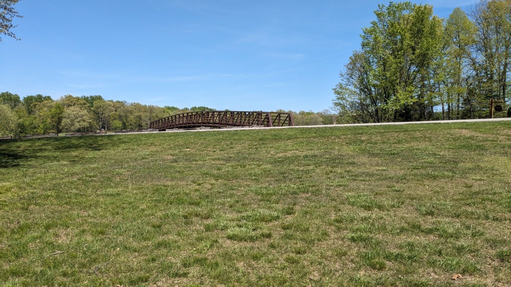
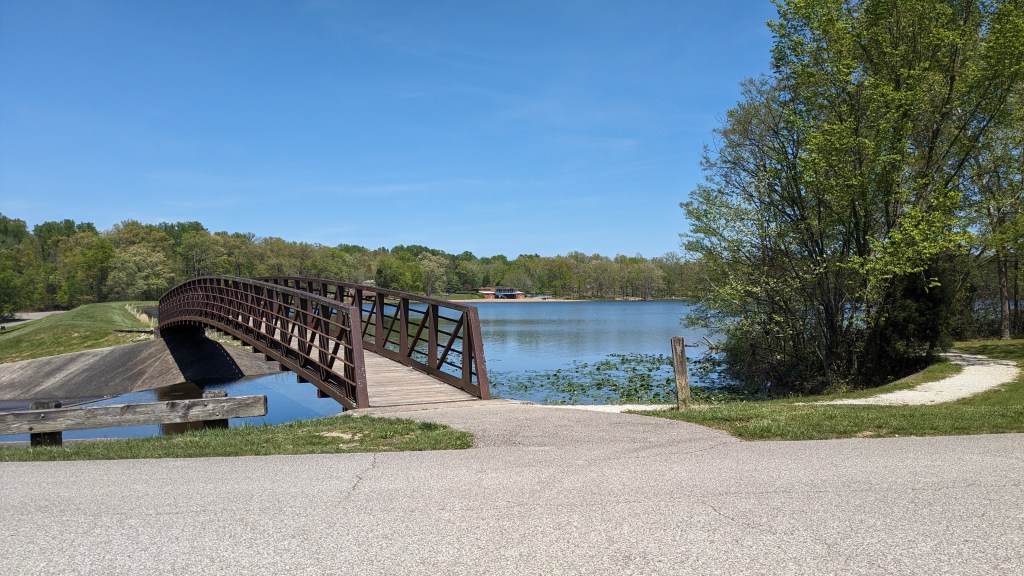
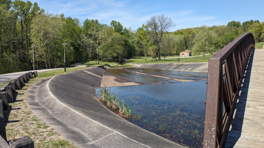
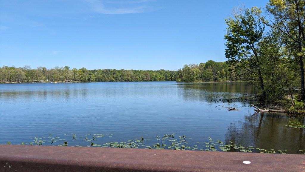
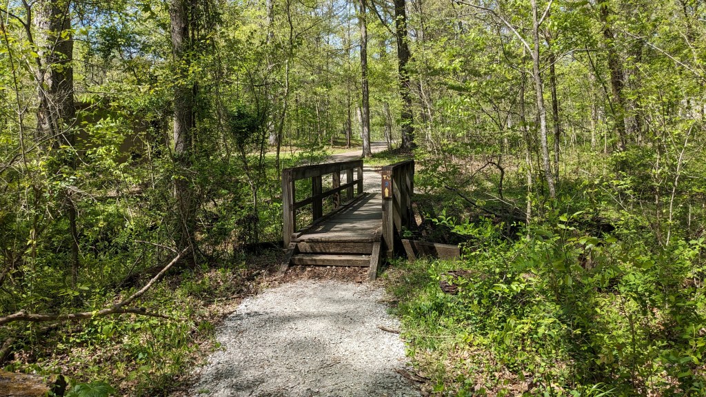
Unlike Trail 2, Trail 3 seemed shorter than the 1.7 miles listed on the map. The trail came out across the road from the dam. There is a large walking bridge here over the spillway from the lake. The dam itself is earthen. I had to negotiate my way around the geese and the many, many landmines that the geese left behind. The lake from this vantage point is quite large. There is a nice beach area with a large beach house and even paddle boat rentals. It looks like a lot of fun for families to visit.
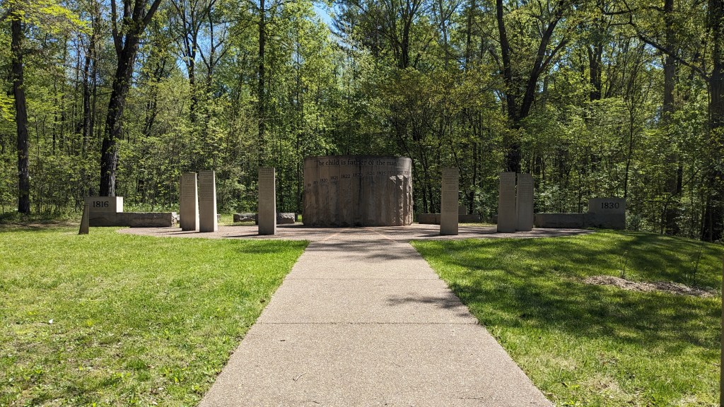
Once I passed the lake, I had to decide whether I would head north back to my starting point or explore the northwest corner of the park. Given the 3 hours I had hiked so far, I didn’t think another 3.7 miles would work with my schedule. Therefore, I followed the trail back to my starting point. This trail did not have a number either. Trail 2 apparently started where I parked at the Bicentennial Plaza. The plaza is a stone monument which recognizes the 14 years that Abraham Lincoln lived in the area and includes parts of his speeches where he referenced his boyhood home. When I got back to it, the park employees were trimming the grass and doing all the kinds of things they do once the busy weekend is over.
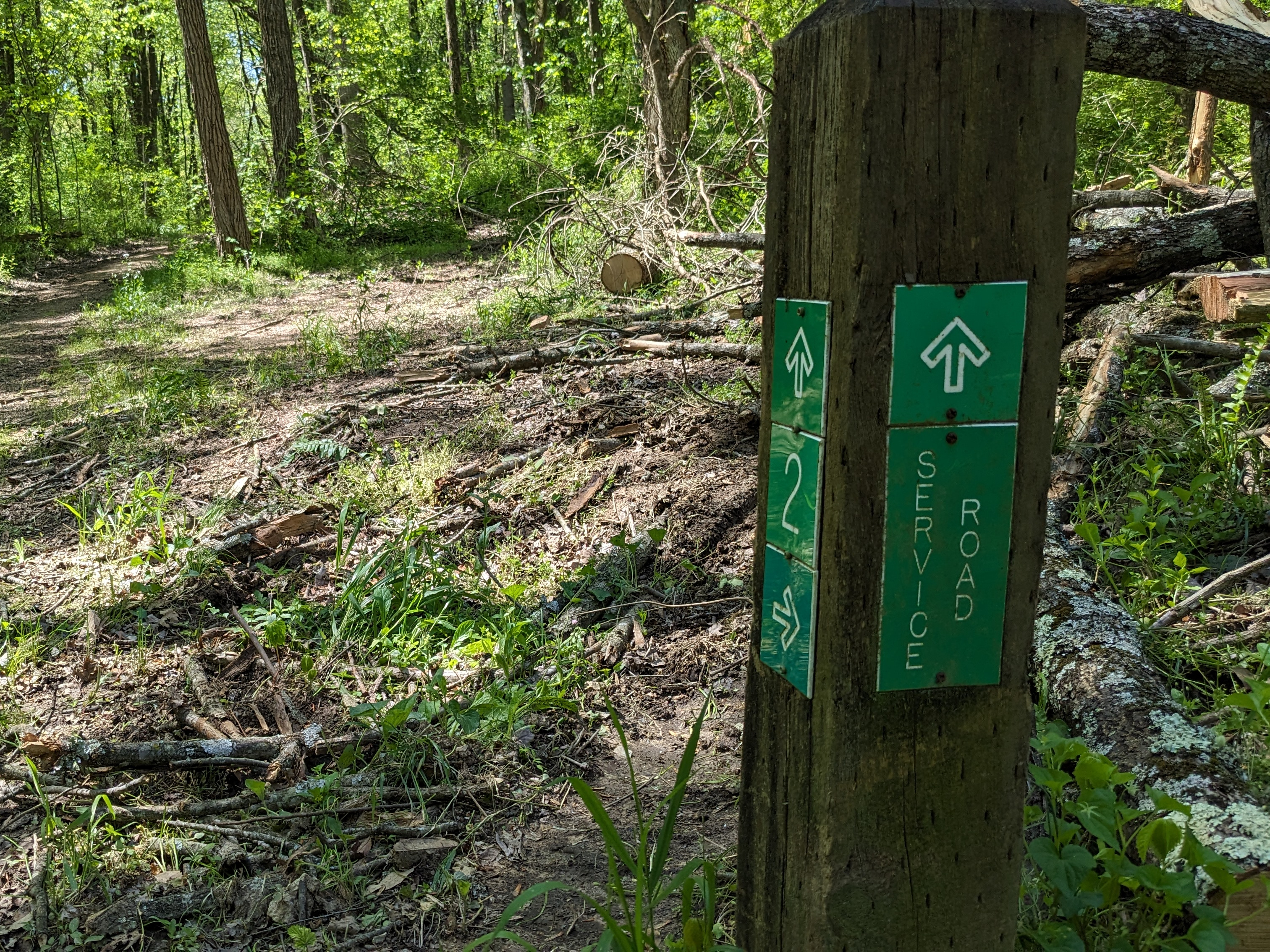
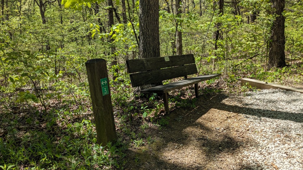
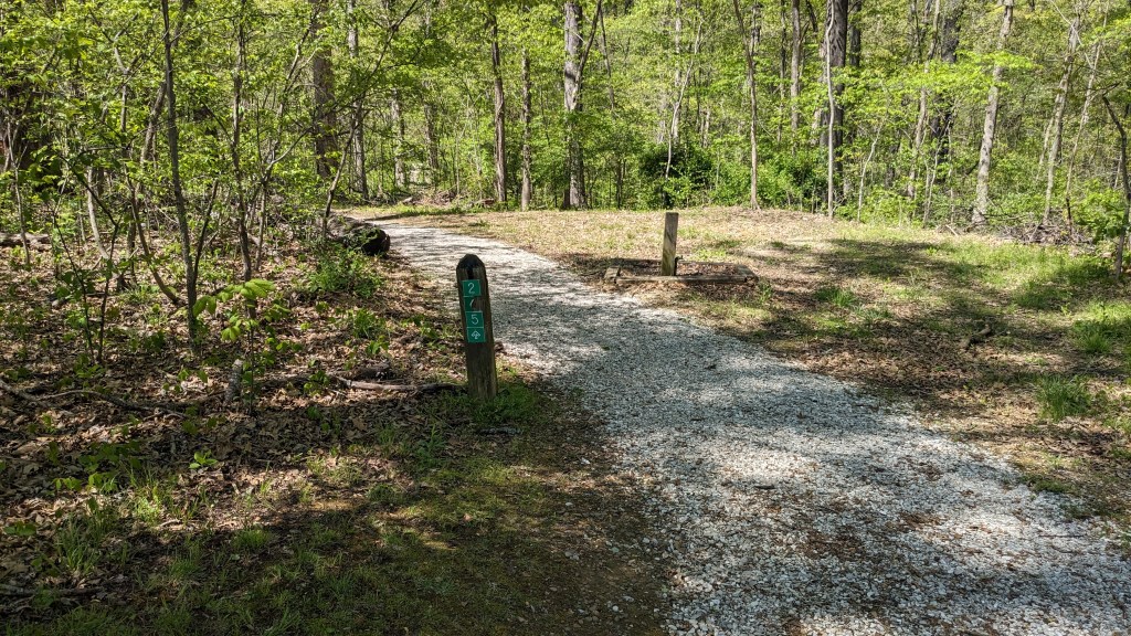
I didn’t mention the trail signs because they were all right where they needed to be. Not too many and certainly not too few. After such a long hike last Monday, it felt strange to stop at only 6 miles, even though that was one of the longer hikes since I started this adventure of hiking every Indiana State Park. Spring is a great time to get out and experience the wonder and beauty of Indiana’s wilderness.
