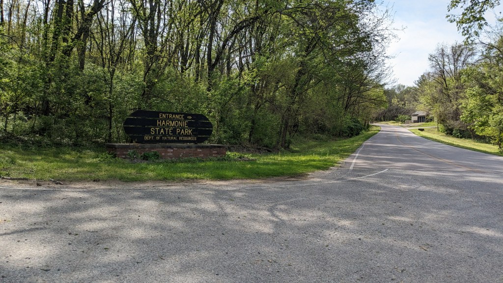
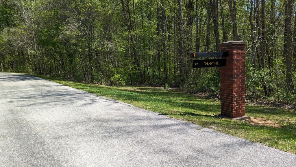
Harmonie State Park is about 2 hours west of Louisville and 25 miles northwest of Evansville. It is just off exit 4 of I-64, right up against the Wabash River and thus the state line with Illinois. Today is probably the hottest day of 2024 so far, with the high temperature close to 90.
Name: Harmonie State Park
Location: Along the Wabash River 2 miles south of New Harmonie
Established: 1966
Size: 3,465 Acres
Known For: Its fishing and boating access to the Wabash River, a large campground including family cabins, and many places to picnic including 6 shelter houses spread throughout the park.


The Day
The 2-hour drive to the park from my home was quite a distance. I decided early on that I probably won’t be making this trip too many times. Because of that, my hope was to get as much out of this trip as possible. I didn’t get as early a start as I liked, but the time change into Central Time fixed that…sort of. I got to the park at about 10:45 CT. The person at the gate tried to give me a trail map, and then realized after a moment or two that they don’t exist. A property map, which has all of the trails on it, would have to do.
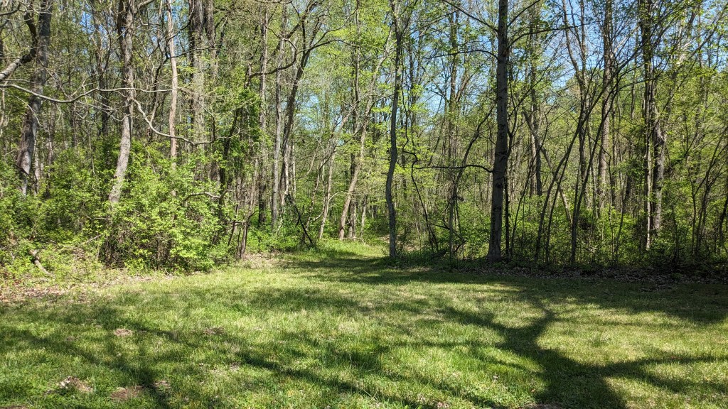
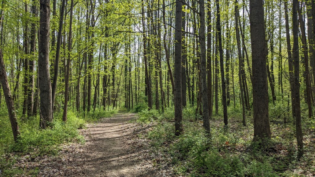
I left my window down while driving through the park and heard hundreds of birds. It was far more than I had heard in a long time. I also noticed that the trees were all tipped in green with new buds. Spring has come to Harmonie State Park. The green meant that I wasn’t going to have great views, but this park is fairly flat, and so long vistas were not going to be an option anyway. I was just happy to hear so many birds.
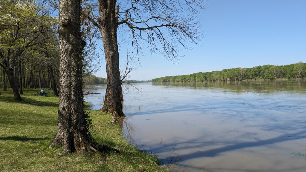
I did a little research online before coming and so I had already decided to drive to the other end of the park and start at the Wabash River playground and boat dock. There were nice newer pit toilets there, which I appreciated after my long drive. I parked first by the water and walked over to take a couple of photos. The river is fairly wide, and looked calm until I watched the speed of the logs and other items floating down stream. They were traveling rather quickly.

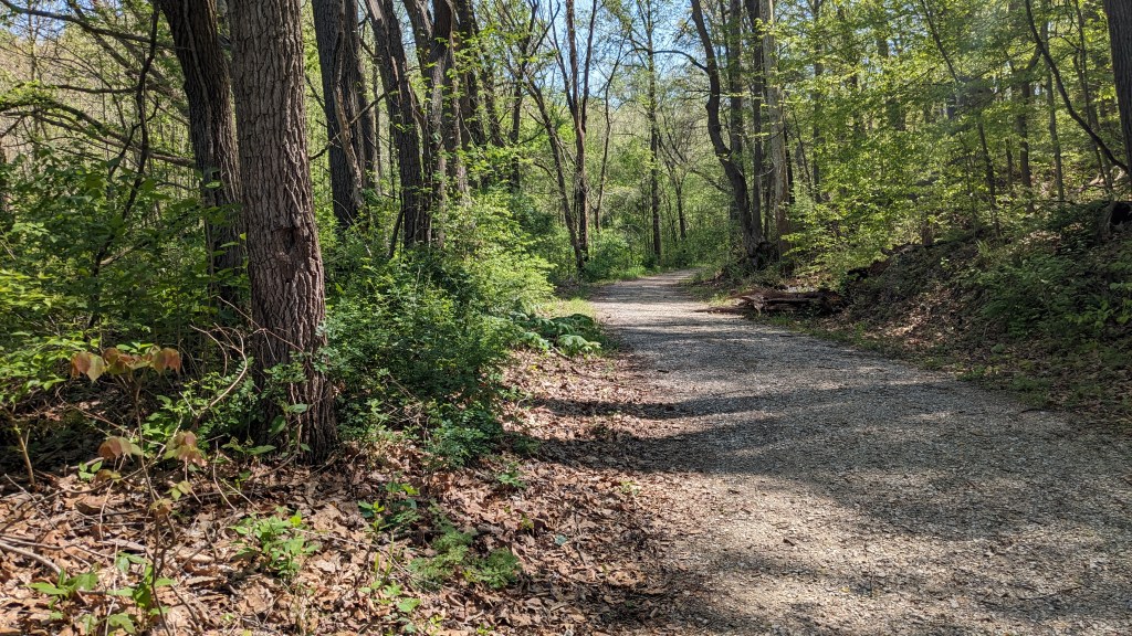
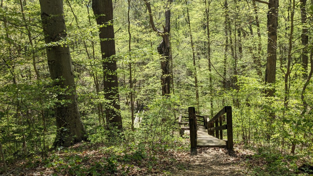
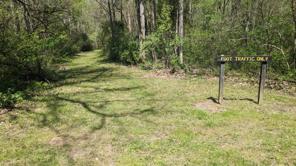
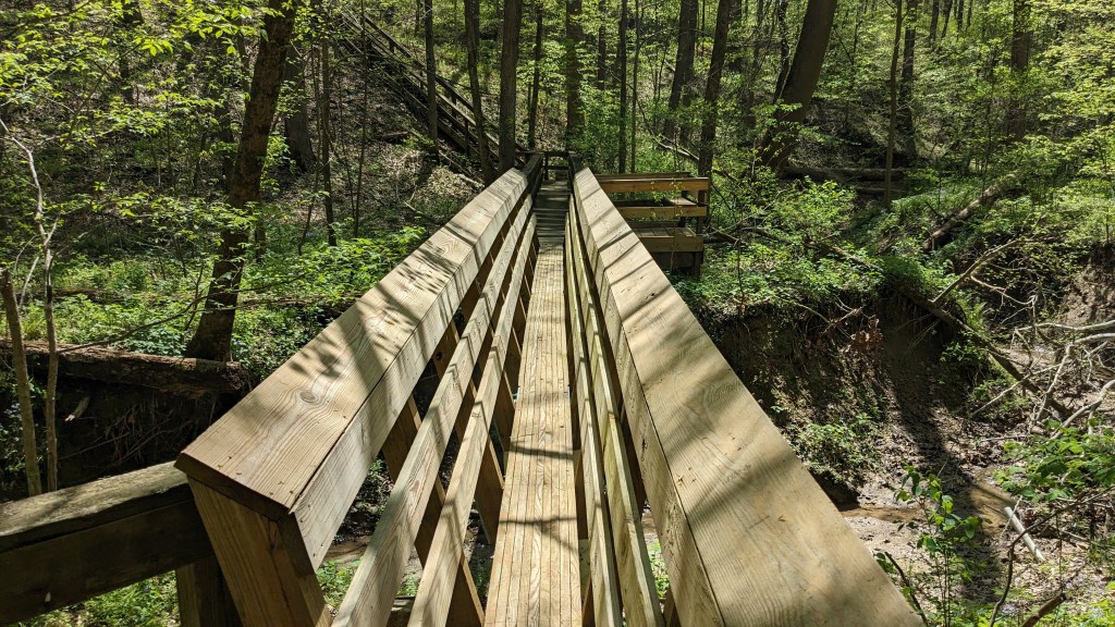
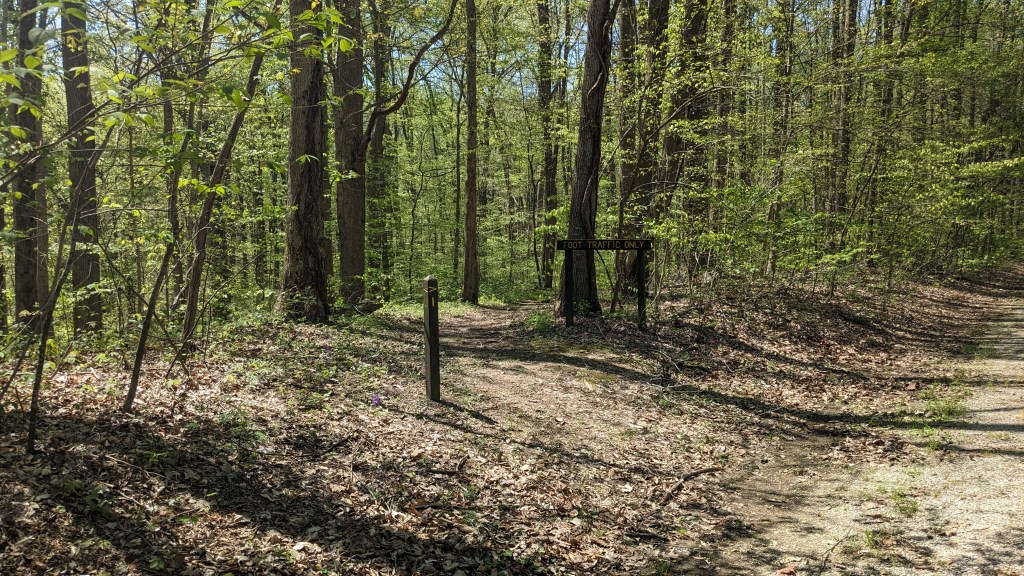
There was a fire road, which led from the parking lot to a place where the Trails 2 and 4 intersected. There were no signs other than one saying foot traffic only. I wasn’t too surprised, since this wasn’t an actual part of the trail system. I passed an old barn which had signs saying private property. A little farther there was a footbridge to my left. It was a very nice new bridge. However, there were still no signs. I knew then this was going to be an interesting day. I pulled out my handy paper map and decided that continuing on the fire road was the right choice.
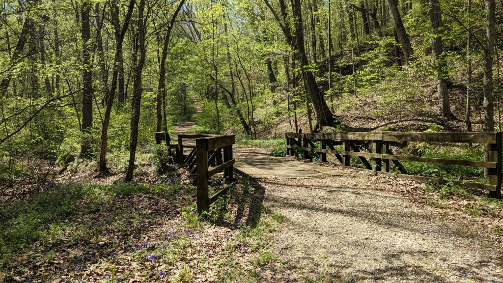
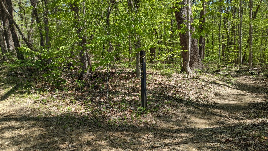
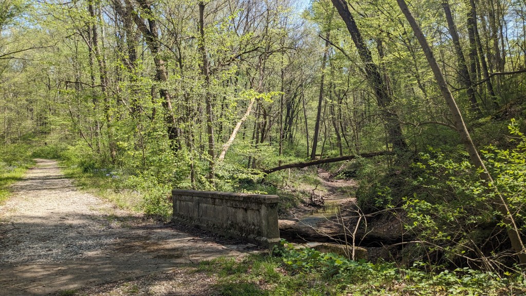
A quarter mile later I reached an intersection with another fire road to my right. As I pondered this junction I found a wooden post lying on the ground. It was marked with trail numbers and arrows, and appeared to be laying in the right direction showing that the main fire road I was on was Trail 2 and that this right turn led to Trail 4. I took the turn and quite quickly came to another intersection and a large wooden bridge. Stopped on the bridge were the only 2 hikers I would see all day. The bridge was where Trail 4 really started its 2.5 mile loop. I, of course, took the counterclockwise route which was to continue on the fire road which was now grass covered and looked like it had not been driven on for a very long time.
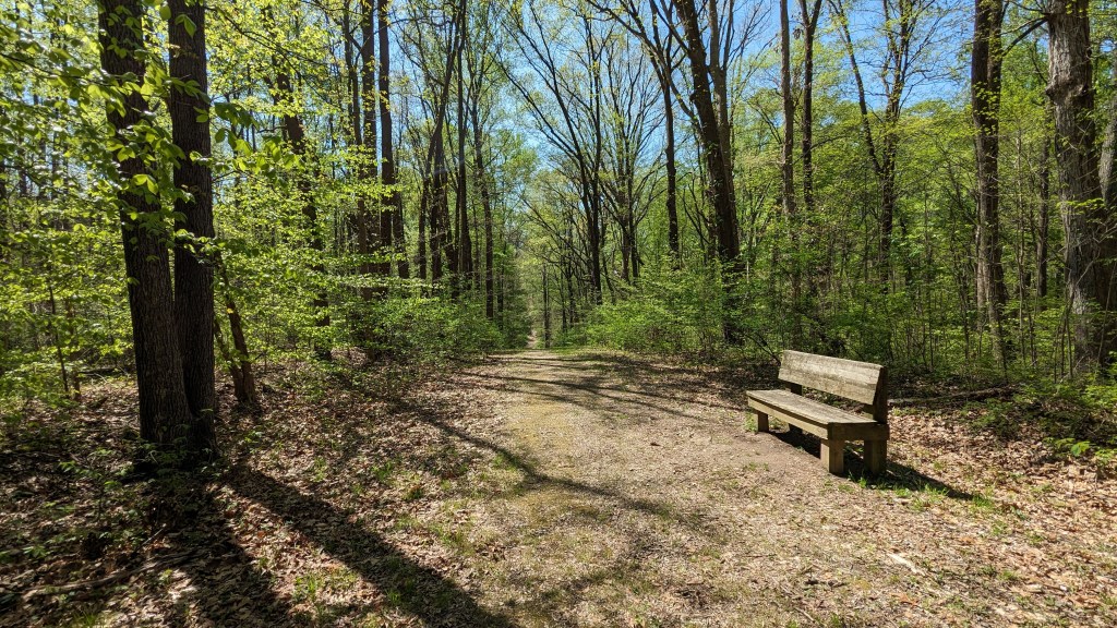
This part of Trail 4 was straight, but it was not flat. It had three large hills in a row. At the top of the second hill, I could look straight across to the top of the third, understanding I had to go down and then back up to get there. None of these were super steep, and there were actually benches at the top of each hill. At the top of the third hill was the main road. Where the trails crossed roads were the best markings, however rarely did they include a trail number. I just looked across the road and saw another sign that said “Foot Traffic Only.” It was clear where the trail went, but if you had been driving along you wouldn’t know which trail.
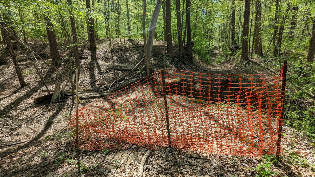
After crossing the road, Trail 4 was another fire road. At the bottom of the hill from the road was an orange plastic fence like the ones used at construction sites. It looked like the whole road was blocked, but getting closer I could see that while a large part of the road was indeed missing and had washed away, there was a small trail around the fencing. Off to either side at this point were much smaller, more traditional looking trails that led off to the left and right. Brand new signage clearly told me it was a Mountain Bike Trail. The nice signs for the bikers made me a little jealous. Even here, there was no Trail 4 sign, so I pulled out my map and guessed that I should continue down this fire road.

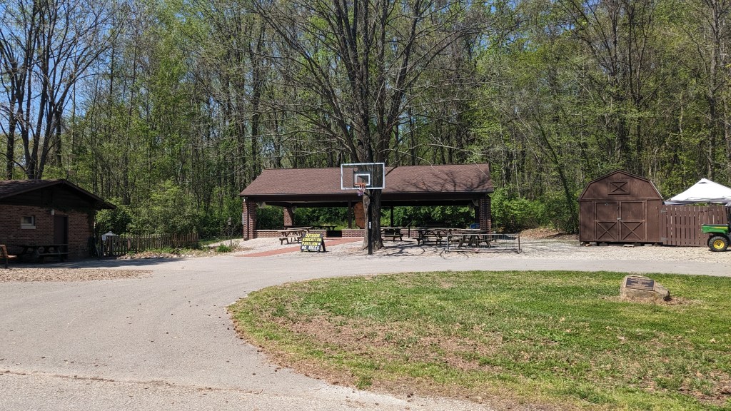
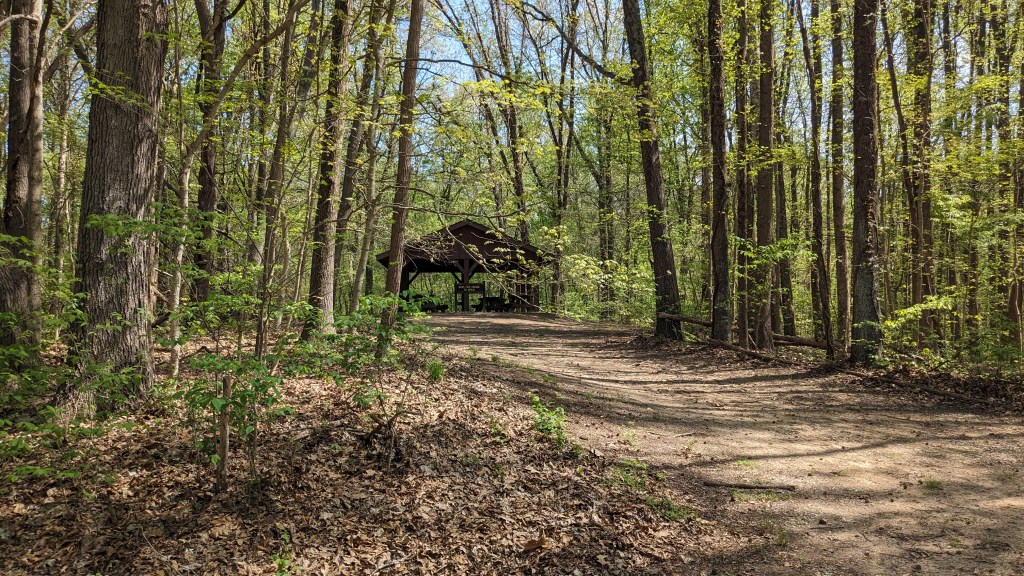
That turned out to be the right choice. When the trial curved and got close to the road again there was a sign indicating that I was on Trail 4 still. I followed it quite a way as it weaved away and back to the road over and over again. After about a mile I got to a 4-way intersection which I was happy to see had very adequate signage. By this point, I had decided I could hike all 6 trails in the park in one day. So, at this junction I took a left, crossed the road, and walked through a picnic area to find Trail 6. I walked to a swing set in the back of the play area that I thought was a sign, but then saw the trail right behind the swing set, so that worked out. Of course there were no signs, I just saw a large path leading into the woods and decided that must be Trail 6.
Trail 6 was a simple loop about 0.75 miles long. It would be a nice easy hike for those enjoying the picnic area. A group of police officers were enjoying the picnic shelter when I finished Trail 6. They had come in a half dozen vehicles, but didn’t seem to be there for business. As I walked back to the road, I realized that while at the trail junction there was a large sign pointing me to Trail 6 from this direction there were no signs at all. Had I not known where the trail came out of the woods, I might not have been able to find it.
Back at the 4-way junction, I chose to go straight and do the larger part of Trail 1 which was a loop from here to the Youth Group Camp area and back. Trails 4 and 1 went the other way continuing together along the road, but I took the larger part of the loop which headed deeper into the woods. I soon came upon a large staircase heading down into a ravine. Some of the steps had been replaced, but at least one felt like it was ready to break under my weight. Once at the bottom, I crossed a small bridge and then found an even larger staircase leading back up the other side. It was long enough to get me huffing and puffing by the time I reached the top. Much of the trail system through the park is pretty flat, but when the trails do go up or down it is always pretty steep. Another flat section led me out to a parking lot at the end of the Youth Camping Area. Here again, there were no signs. No sign for me or for someone who was going the other way and looking for Trail 1. I was again very glad I had my paper map.
I walked down the road until the map showed where Trail 1 left the camping area. And you guessed it, no sign. I had to walk down what appeared to be Trail 1 for 100 yards before there was a sign telling me I was indeed on Trail 1. Then I quickly came to another Trail 1 sign that appeared to point in the wrong direction. The trail it was pointing down had branches stacked across it, the universal sign for “Not This Way.” I stepped over them anyway and soon discovered that the trail had gone that way, but was washed out. Probably a few years ago.
The new route had no signs, including where I had to walk along the road for 20 or 30 feet. I found my way though and continued along Trail 1 which now was doing the same thing as Trail 4 had done early weaving near and away from the road over and over. I came to another Trail sign at a turn, which I swear was just plain wrong. As I walked past, I tried to imagine it turned to see if any orientation made sense, but I don’t think that was possible. The arrows were simply in the wrong direction. Luckily, from my direction the right way was obvious, but someone walking the other direction might have been a little confused.
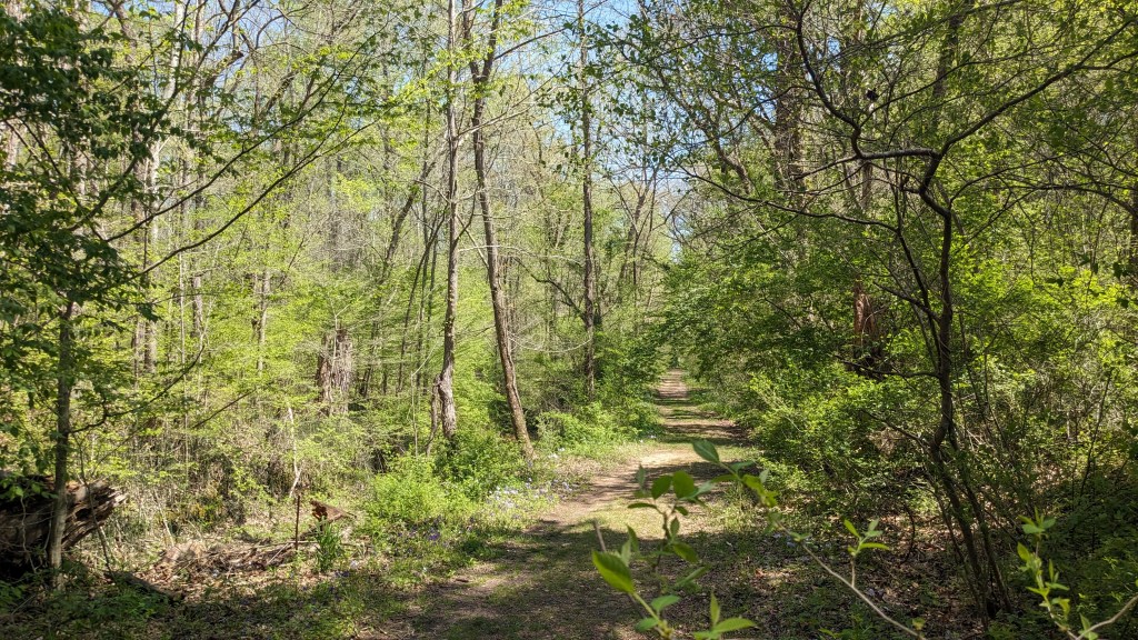
Finally, I came back around to where Trail 1 and Trail 4 ran together, at this junction Trail 4 crossed the road and headed back to its starting point. This part was again a mostly grass fire road that was flat and just followed a ridge for a long way. When the ridge finally ended, the trail got smaller and headed down right off the end. It weaved down until it met back with the fire road where I had started the Trail 4 loop near the large wooden bridge.
I took the fire road back to the junction with the broken sign and turned right to start the Trail 2 loop also in a counterclockwise fashion. Trail 2 as it turns out is a loop only once you walk through the whole campground. This part of Trail 2 came out at the entrance station to the campground. According to the map, I was not far from Trail 5, a short loop that went around a small pond.
Trail 5 had no signage at all anywhere. I guessed at the trailhead when I saw a nice wide grass fire road, and a sign that said…drumroll please, “Foot Traffic Only.” I walked down this large grass path and soon saw the pond to my right where it was shown on the map. I think pond might have been an overstatement though. At the end of the path was a large viewing area, though I could not tell you what you were supposed to view. The pond was on the other side, and standing on the viewing platform there seemed to be only trees and vines to look at.

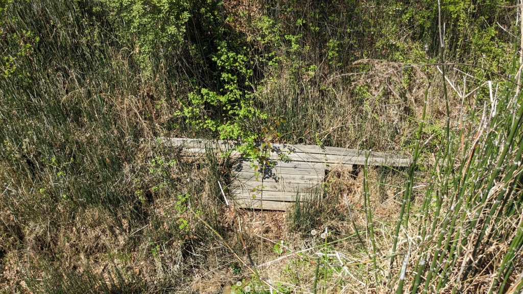
I looked around and found the path down to the pond and to an earthen dam. At the end of the dam, the trail abruptly ended. I looked around and saw the remains of a bridge down in the ravine. At this end of the dam was a spillway and across the opening of the spillway was what I think was a beaver dam blocking the spillway. Others had clearly hiked down to it and perhaps crossed it to continue on, but I did not feel that adventurous, so I turned and backtracked to the road and parking lot at the entrance to the campground.

Here I actually saw a sign saying “Trail 2 Starts Here” with an arrow pointing to where I had come out 30 minutes earlier. The part of Trail 2 I still needed to hike started at the very back of the campground according to the map, so I had some pavement walking to do. I was overwhelmed by how large the campground was. There were over 200 sites spread out into individual canyons. Almost every site had plenty of tree cover, which all helped to make it seem even larger. I think all of them had electricity as well. There was even a whole drive of family cabins that could be rented. There were multiple playgrounds, and in the center of the campground was an Activity Center, and the Nature Center. I wondered if noncampers could drive in to visit the Nature Center.

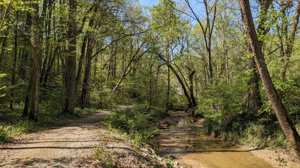
The campground was so big I had to check the map a few times to make sure I was still heading in the right direction. When I got to the end of the campground, I found yet another fire road. This had to be Trail 2, but of course there were no signs. Even the gate had given up. The remains of it were tossed in the bushes next to the road. I followed the fire road for quite a ways till it abruptly ended in a pile of gravel. The trail then turned left and dropped off the ridge down to a small creek. From here, I could see that nice new bridge that I had seen just after I started hiking almost 3 hours earlier.
I crossed the bridge and turned left heading back to the Wabash River and my car. No signs, but I knew where I was this time. I would highly recommend you not hike here unless you have a map of some kind you can refer to. Once in my car, I looked at the map to find my final trail for the day only to realize that there was actually a Trail 7. At this point, 8 miles in, I almost gave up and just drove home, but I decided to at least do Trail 3, a 1-mile easy loop near the entrance to the park.

Knowing how bad the signage was I read the description for Trail 3, so I would know where it started. I’m glad I did, because I wouldn’t have found it otherwise. In the whole loop for Trail 3, there were only 2 signs. The first was at a Y in the fire trail. I was a little suspicious because the trail sign post was broken off from the ground and tied to a tree with caution tape, but it did lead me in the right direction. The second sign came a little later and was at a hard left that led across a foot bridge instead of following the fire road. I almost missed the second one, because I had become so accustomed to there being no signs. I literally did a double take when I caught it out of the corner of my eye.

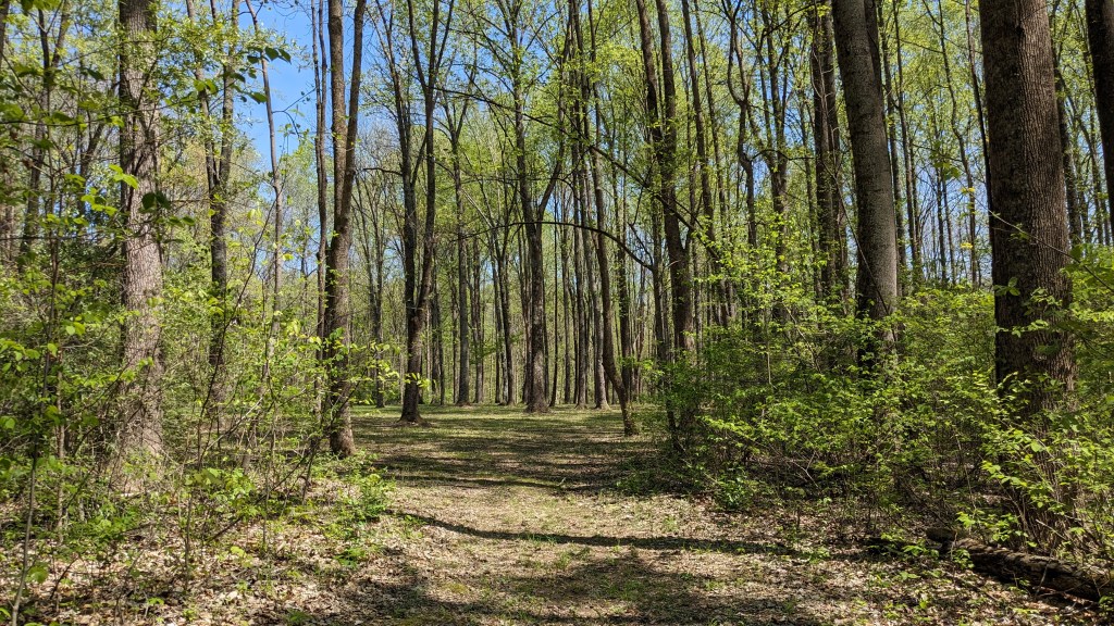
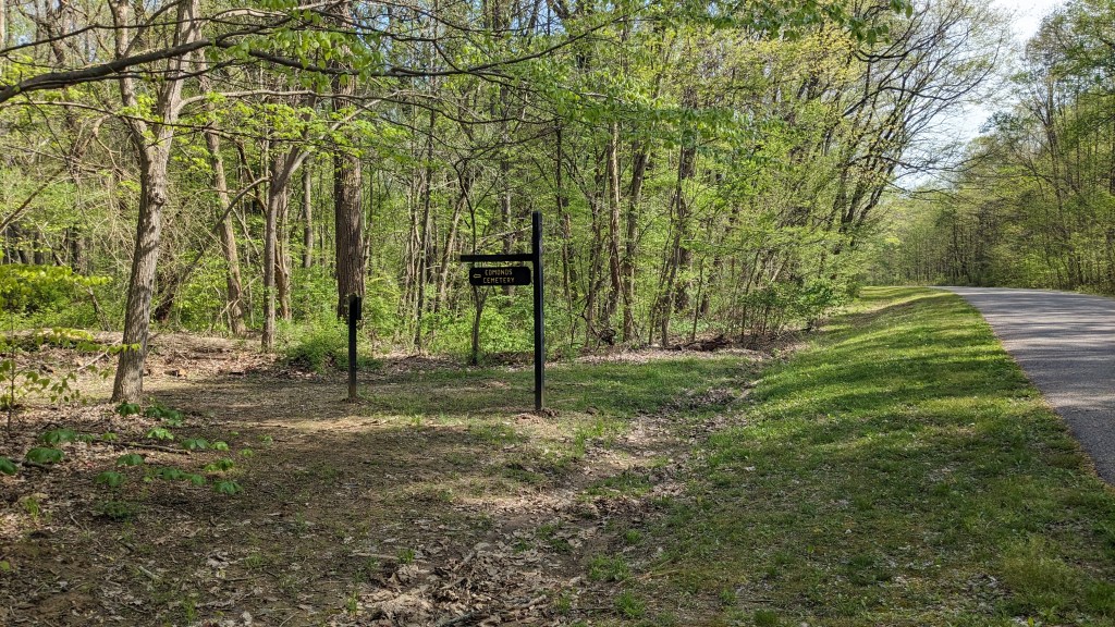
As I hiked along, I felt pretty good, so I decided to drive back and hike Trail 7. This meant I will indeed have hiked every hiking trail in the park. There was no parking at the trailhead, so I had to park a quarter mile away and walk along the road before I could even start the trail itself. Trail 7 is the only non-loop trail in the park. It leads to a small family cemetery in the middle of the woods where two women are buried. The trail was very easy and flat though it wound through the woods like a serpent. Probably would have been half the distance, if it had been straight. This part of woods was farther from the river and I noticed it had less undergrowth and looked much more like the dryer woods in the other state parks I have visited so far.
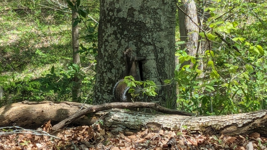
In the end, I was glad that I had hiked every single trail and did a “Complete Harmonie” hiking day. All in all, it was just over 10 miles and took about 4 hours, but it was worth it since I doubt I will be back to this park anytime soon. The birds accompanied me with a great variety of songs the whole day. I even got a picture of one of the many squirrels I heard and saw. The terrible lack of trail signage notwithstanding, I had a very good day.
