A fourth Monday in a row with good weather. I could not resist the temptation to go out and enjoy the wilderness. I got up extra early just to give myself plenty of time. Today’s 65 degrees is a far cry from last Monday’s 35 degrees. It was a windy day, but with lots of warm sunshine between the cumulus clouds.
Name: Starve Hollow State Recreation Area
Location: 7 miles south of Brownstown, IN
Established: 1929
Size: 280 Acres
Known For: Starve Hollow Lake, which is over half of the total acreage of the park, is a great spot for fishing and swimming. The beautiful campground has many spots right on the water. There are also cabins for rent.


The Day
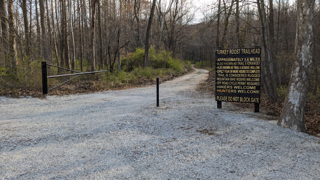
Driving to Starve Hollow from the south was interesting. When I got off of the freeway, I had 7 miles and 17 minutes left in my journey. I went through back road to back road, each road getting narrower each time. If I didn’t trust my GPS, I would have been very worried about my route. It led me right where I was hoping and I parked in the small lot at the trailhead of the Turkey Roost trail.
The first thing I noticed was that the trail gate was open. Down the small fireroad, I saw a flatbed truck parked. I walked as far as the truck and the driver got out. He informed me that they were logging up ahead. A bulldozer was clearing the road ahead, and would be returning shortly to help him get up the hill. I did not envy him that journey or the return back out loaded down with logs, but I now had to rethink my hike for the day.

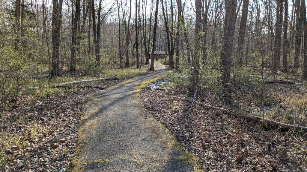
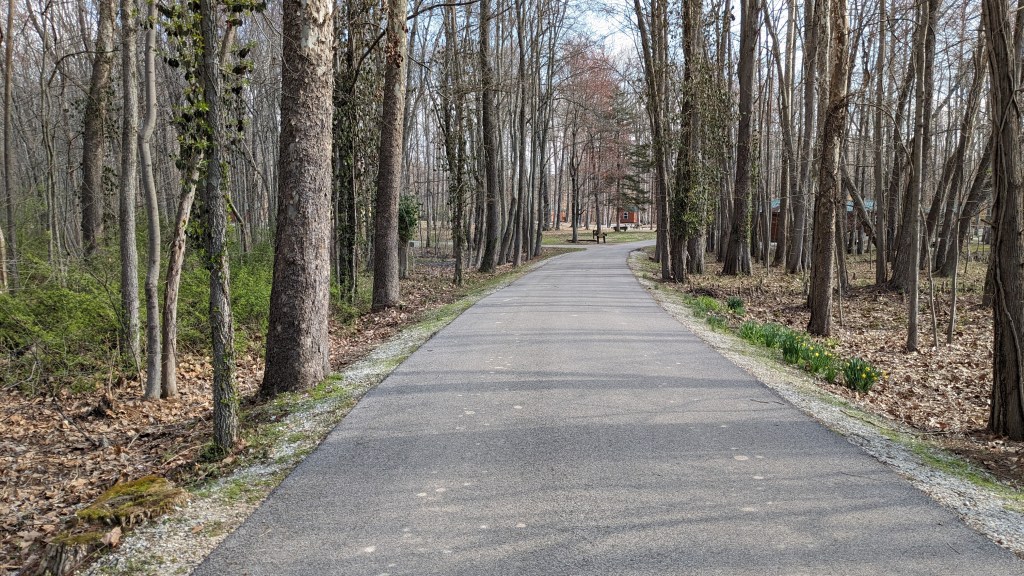
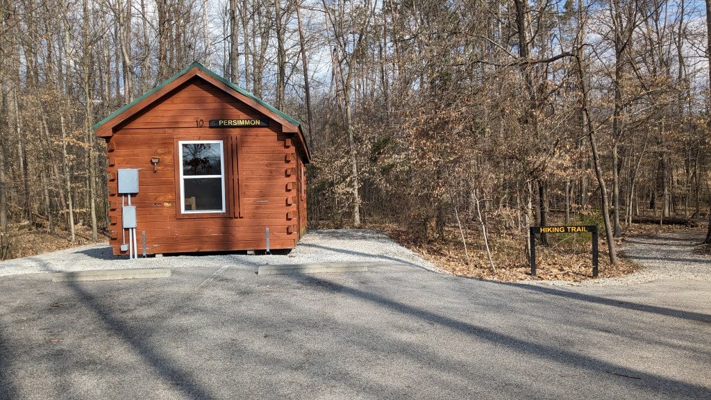
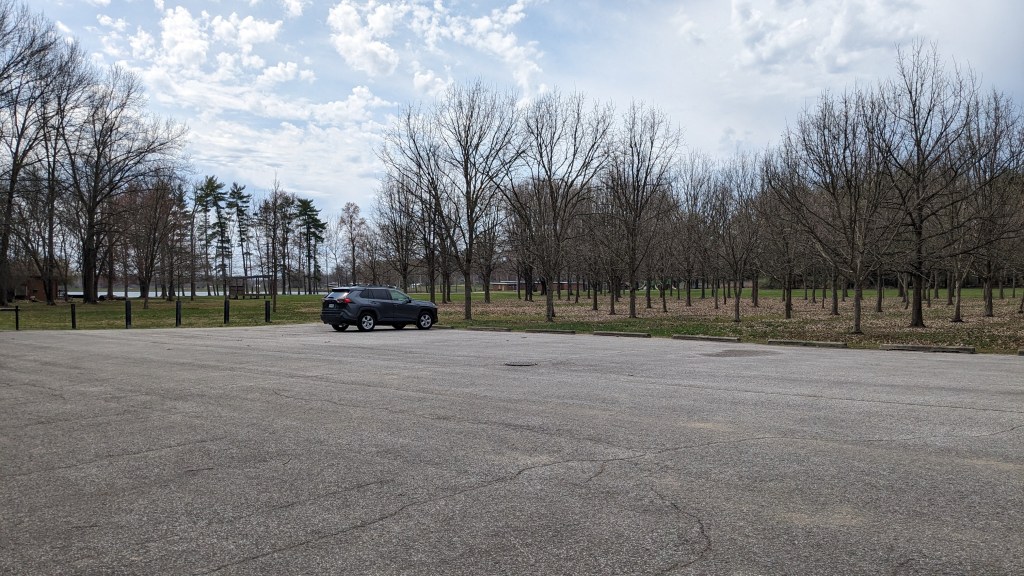
I drove around to the main parking lot just at the entrance to the camping grounds. There were no attendants, and I could have probably driven back into the campground and parked closer to the trailhead, but I decided I needed the walk. Trail 1 starts at the far end of the campground near the north end of the lake. There were lots of great spots in the campground and a surprising number of campers for a Monday in March. A few people were out on bikes and taking walks as I passed by. The signage was great all the way from the front of the campground back to the actual trail head.
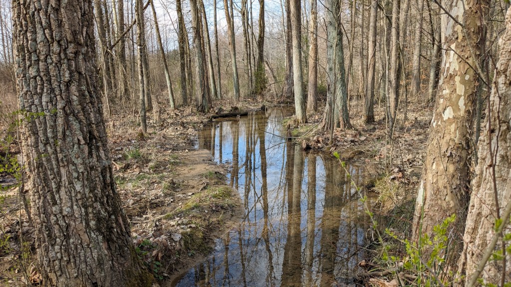
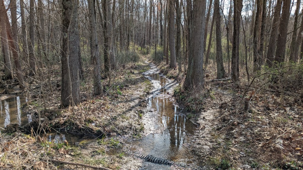
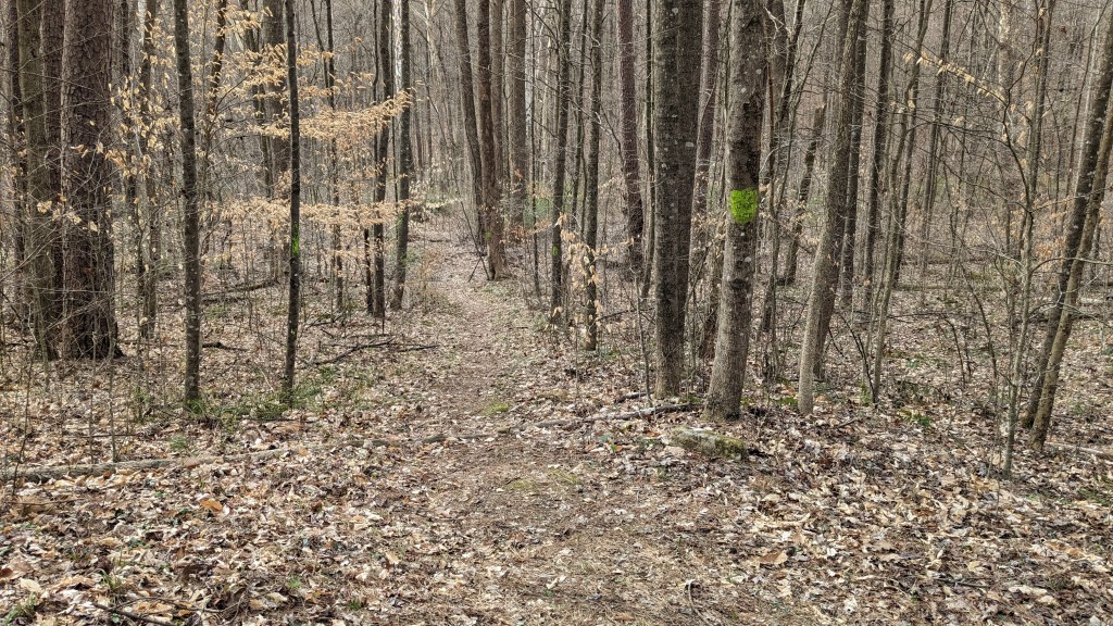
Trail 1 is a short trail around the north end of the lake. The trail itself, however, was a lake. I started to get discouraged as I made my way following makeshift paths around on somewhat solid ground avoiding the mud and the 6 inches of water on the actual trail. Luckily, it soon ended and the trail from that point on was dry. In this section, there were lots of birds and small animals. Making lots of sounds and enjoying the warm spring day. They all traveled too fast for my phone camera.
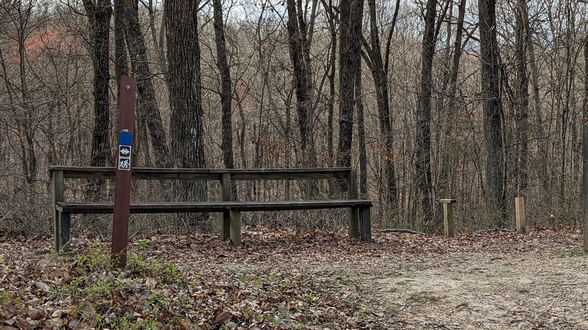
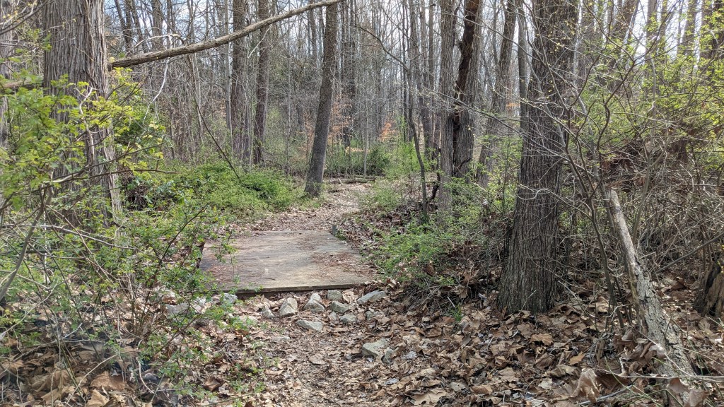
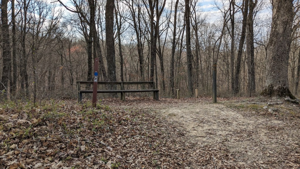
There were some small wooden bridges over streams after this point, and a large bridge over the main tributary feeding the lake. Once I was over the bridge, I was on Trail 2. It is a loop, though I had trouble seeing the second trail of the loop. Moving clockwise, I followed a gravel fire road up a small hill and along the now East side of the lake. Trail 2, 3, and 4 all come together at a bench. It is marked on the trail map as “bench,” and sure enough when I got there, an actual bench stood where it was labeled on the map. I could see the two ends of Trail 3 and the fire road that was part of Trail 2 now became Trail 4. The rest of the loop for Trail 2 was supposed to meet back here as well, but I had no luck finding this end of that segment either.
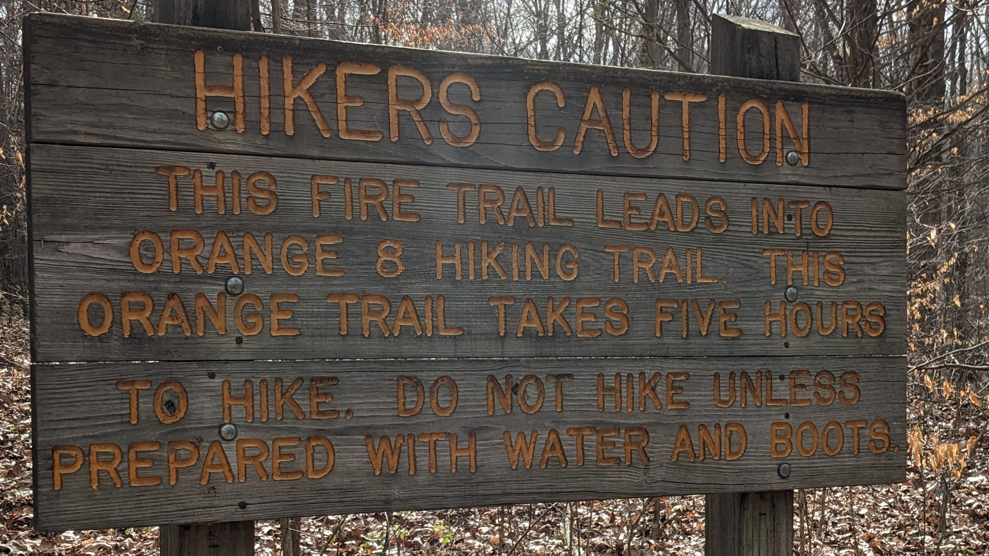
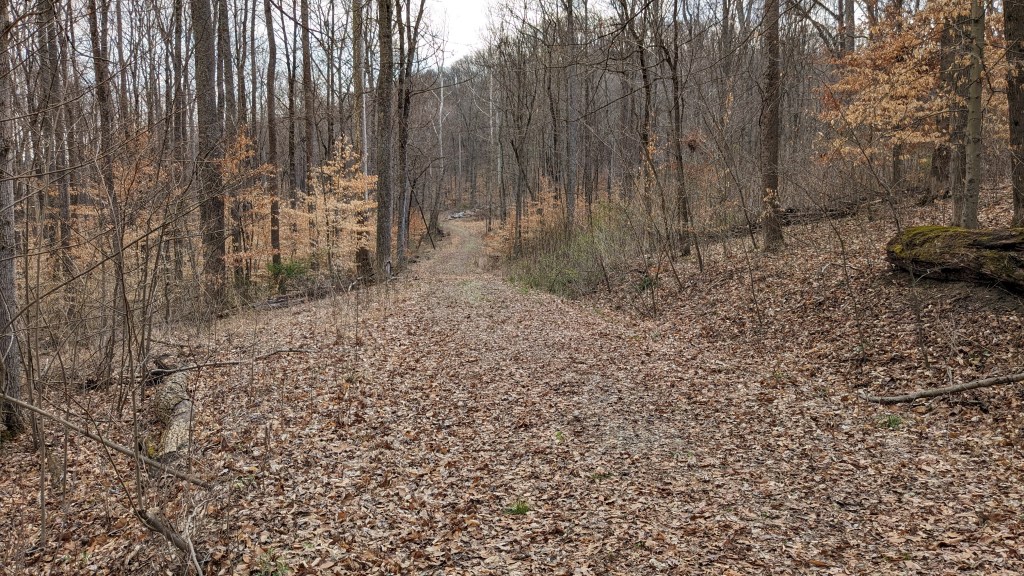
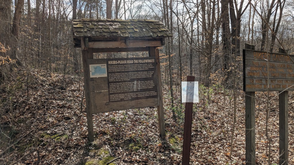
I chose the fire road and began what was now Trail 4. This traveled back down the other side of the hill away from the bench. At the bottom was a connection to Trail 5 to the right, and 20 feet farther Trail 4 turned left leaving the fire road. I actually continued straight on the fire road and to read a sign that was beyond both trails. The ominous sign marking the border of the Starve Hollow and the beginning of the Jackson-Washington State Forest warned of a rough long trail which would take 5 hours to hike. I knew from the Stave Hollow map that there were actually a few different trails beyond this point, but I could easily hear the chainsaws of the loggers, and decided I would just stick to the trails officially in Starve Hollow near the lake.
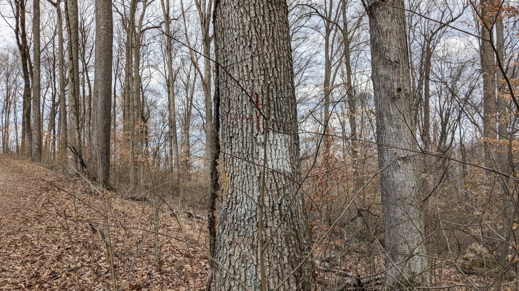
I walked back down the road to the turn off for Trail 5. On the map, Trail 5 simply continues around the lake to the Dam at the south end. In actuality, it goes over not one but two of the larger hills surrounding the lake. Following this smaller trail I realized that all of the trails are marked with blazes. Blazes are rectangles either fastened or spray painted onto trees. 1 signifies the trail, 2 on the same tree means the trail is turning. It is an easy system to follow, though some argue that it defiles the trees.

The trail builders apparently never heard of switchbacks either. The first hill consisted of two climbs with a short flat section in the middle. The first part was a strenuous 100’ climb. The second part was the steepest of the day with about a 30’ climb nearly straight up. By the time I got to the top, my sock on my right (downhill) shoe had twisted around and down to just my toes.
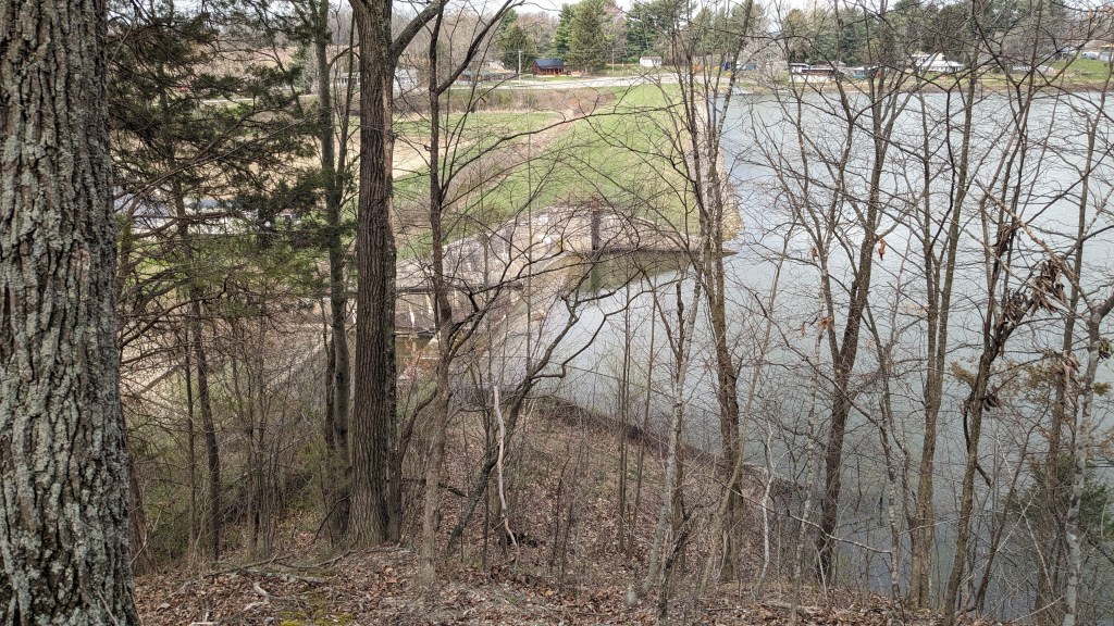
I had to stop and take my shoe off to fix my sock, but I was happy for the rest. The trail then dropped about halfway back down, before it climbed over a second hill again straight to the top with no switchbacks or places to rest. After the second hill was a final descent to the dam. The trail turned about 30 feet above the dam and I decided I was close enough. I knew I would have to now backtrack, but my goal had been to see if there was a trail across the dam and outlet. There was none on the map, and I could see no such option from here..
I now returned back over both hills. The downhills now uphills and the uphills now downhills, I agreed that the 2nd part of the climb on the first hill was the steepest. Going down it was actually harder as I slowly tried to catch enough footholds to not slip and fall to the bottom. I made it safely, up and down both hills. The hardest part now was a jump back over a small stream which I had made without incident on my way out. Coming back, I chose a spot with a 1’ tree branch pointing right at me. Unfortunately, I didn’t see it till I had jumped. As I grabbed it to try and move it, I found it to be far sturdier than I was, so I moved instead. This lateral movement as I was landing caused a catastrophic failure in my “landing gear” and I fell on my side onto the trail. I felt my phone and keys pop in my pocket, but luckily no damage to either.
I dusted myself off and made my way back to the fire road. I then decided I had time to hike Trail 3. I took the left trail which was Trail 4 as it turned into the woods away from the lake. Trail 4 soon ended as it ran into the loop of Trail 3. I decided to take the long counterclockwise part of Trail 3 back to the bench. This started as a nice easy level walk through the forest. After a small creek crossing, I followed a long ridge as it slowly climbed above the ravines around it. Once I crossed another creek everything changed.

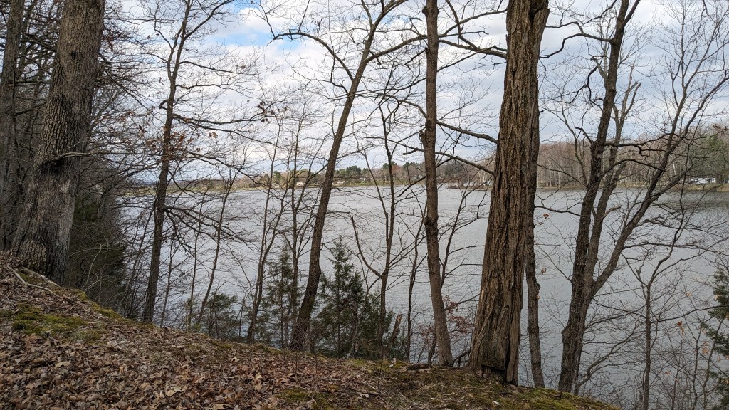
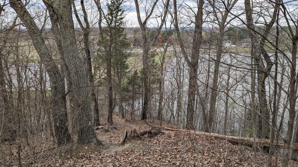
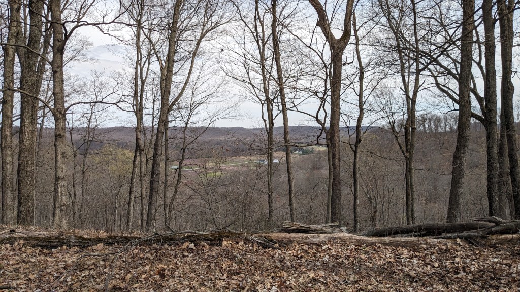
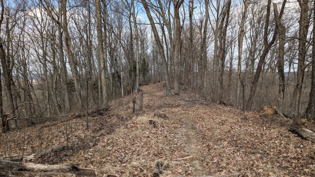
I now faced yet another very steep climb ahead of me. This time, though, there were stairs. They were concrete and looked as if they were poured in place. The bottom step was engraved with “1976”, and for being nearly 50 years old were still in pretty good shape. I appreciated the help they gave me as I climbed up. There was even a single switch back after the stairs and then a second set of stone steps after that. I was soon on top of what looked to be the largest ridge in the area. It was tall enough that I could see out over the lake, and could turn and see a fair distance in the other direction as well. This ridge continued for some time at this height, and again I enjoyed the rest.
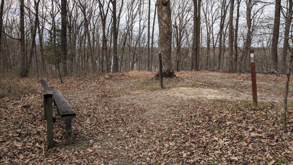
My rest eventually ended as the trail turned left again to continue the loop, and this time it was another long straight steep drop. I was very glad I hiked this counterclockwise. The trail eventually led me back to the bench where all trails (or most) meet. I still couldn’t find the missing part of Trail 2, and I didn’t feel like wasting time looking, so I followed the fire road back to the bridge and then Trail 1 around the north end of the lake back to the campground.
Returning on Trail 1, I saw another cardinal. I have now seen at least 1 on all four Mondays I have been hiking. I also saw another bird that was resting at the bottom of the tree just out of sight until I came around the corner, and we both were scared by the other. Being just a few feet in front of me with its bright red head and black and white body, I knew in a second it was a red-headed woodpecker. I was happy to have seen both of these birds, but like always, they were way too fast to get a photo of them.

When I came to the flooded part of the trail. I decided to try the side near the lakeside. I had assumed that the side closer to the lake would be even more flooded and muddy, but in fact this side of the trail was much easier to traverse with little worry of getting in the mud. After that, it was just the pavement back through the campground to my car. I enjoyed the day’s hike. It was challenging and pretty. I didn’t hike as far as I did last week, but I got more of a workout. I will have to return though when the loggers are done and try the trails out that way.
