I don’t remember ever coming here as a kid, though I am sure we visited the town of Versailles a few times. I remember because even as a kid I recognized the Hoosier way of saying it (ver-sales) instead of the French pronunciation which is closer to (veer-sigh). Last week, my schedule was a little tight, but today I had plenty of time, so I could drive a little farther. Versailles State Park is about 90 minutes from my home. Who would have imagined that the last Monday of February and the first Monday of March would both be above 70 degrees in Indiana. Today was another perfect day to go hiking.
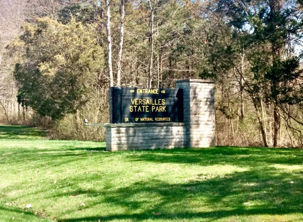
Name: Versailles State Park
Location: 3 miles east of Versailles, IN
Established: 1946
Size: 9.356 mi²
Known For: 260-acre lake for fishing with boat rentals and a 25M pool for swimming. There are 20 miles of trails dedicated to Mountain Biking and another 20+ dedicated to horse riding.


My Day

I headed out just before noon, after eating an early lunch. The first thing you notice as you drive in the one entrance is the bright red covered bridge. Reading about it later, I found that it’s technically in the State Park, but belongs to the county, so it is before the gatehouse. There was no one at the gate, not surprising being a Monday in March. I grabbed a map from a handy box, and then worked my way to a central parking lot. The road from the entrance climbed a couple hundred feet coming up to the parking lot. It’s a short drive, but there are several turn offs. The signage at the last one listed only campgrounds, and not the picnic shelter and parking lot I was trying to find. I stopped and checked my map again to make sure I was going the right way.
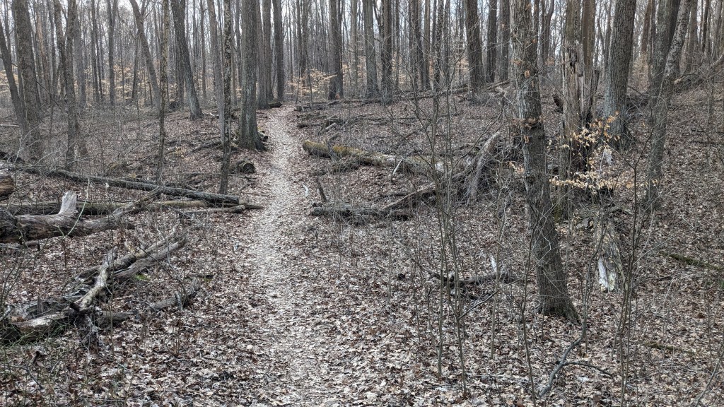
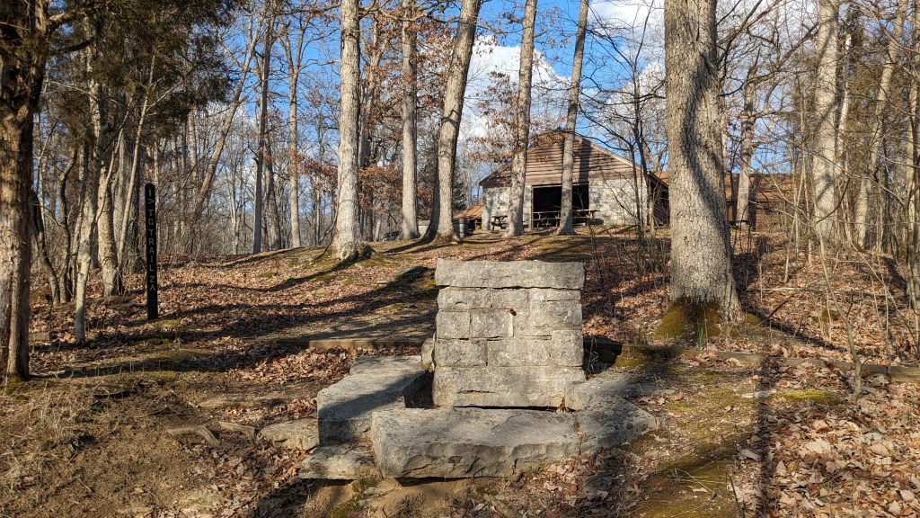
I finally reached the large parking lot near the Oak Grove Shelter. This is a central hub for Trails 1 and 2. Trail 3 was not too far and makes a wider arc outside of the loop that Trail 2 makes. I made my 5-mile trek using all 3 trails. A large part of the park is dedicated to the bike trails and horse trails. None of the trail systems overlap the other, so between all three systems you can access most of the park.

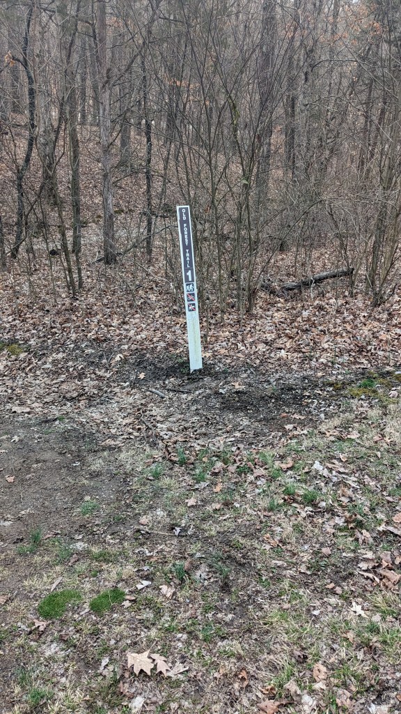
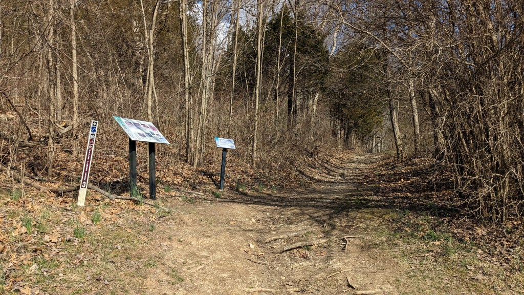
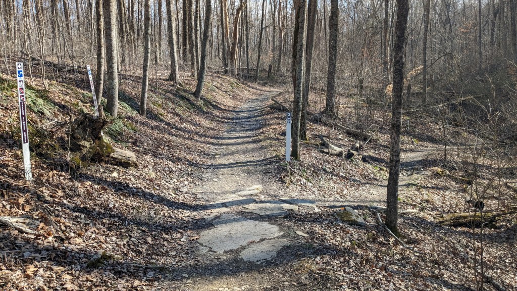
In my ongoing ratings of State Park signage, I have to say that Versailles SP has exceptional signage for their hiking trails. Their signage in general is really good despite the fact that I did have a little trouble finding the parking lot, LOL! At the parking lot where I started, there was a large bulletin board and hanging on that was a large clear sign that said “Begin Trail 1.” Directly behind the sign at the edge of the woods was another sign for Trail 1 clearly marking the beginning of the trail.
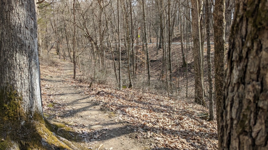
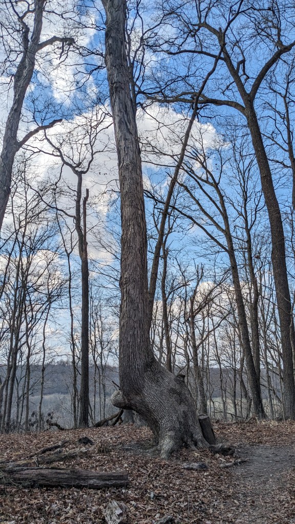
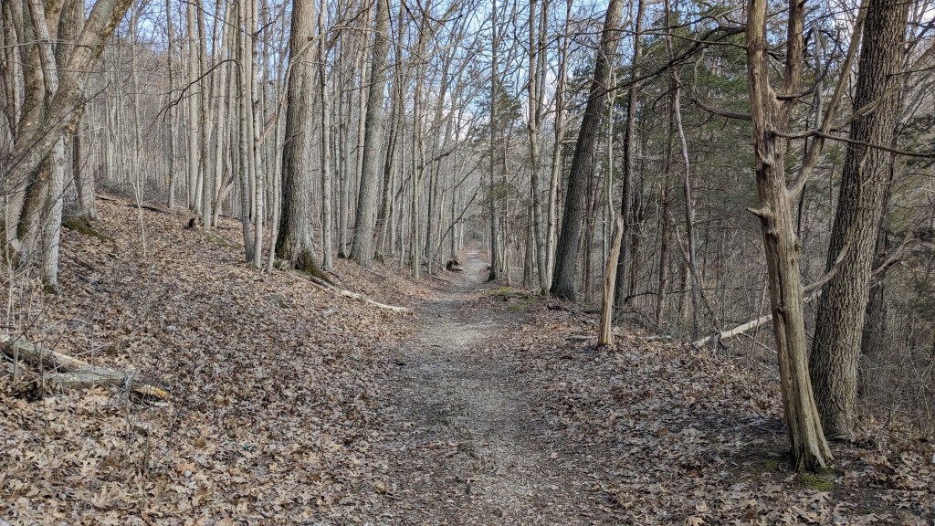
Ten feet down Trail 1, it splits to form a 3-mile loop. I decided to hike the trail in a clockwise direction. This part of the trail was very flat. It stayed up on the top of the ridge most of the way. If this was the whole trail, I would say that anyone who could walk on an uneven surface could handle it.

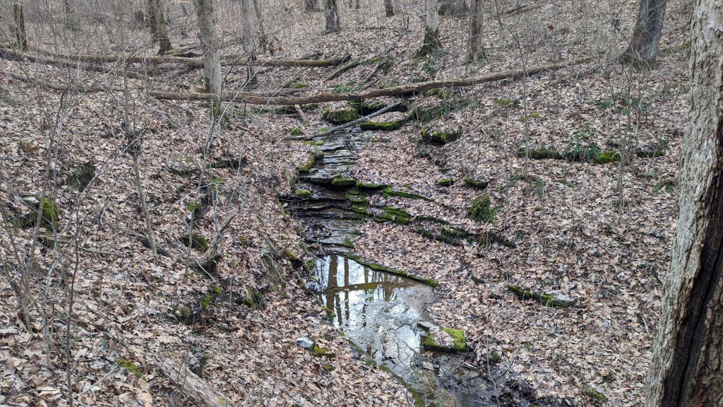
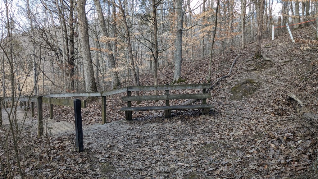
However, there was one small section, perhaps a tenth of a mile in length, that followed a ravine with a creek and passed two small water features. It was a very pretty section with the multileveled waterfalls etched into the layers of limestone. That section was downhill, then across the water on a couple of stones, and then back up the other side which was a little steep and slippery. This was followed by another nice flat section.
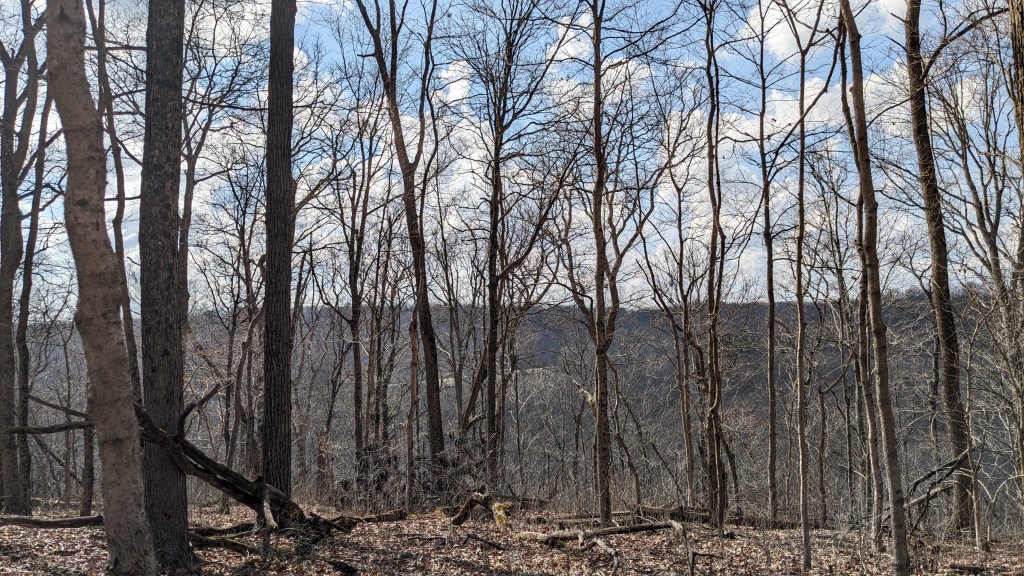
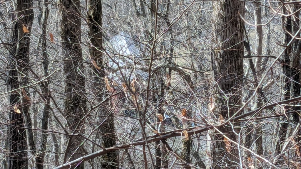
Around the halfway point, I came out to a view about 200’ above the park entrance road below. The bright red covered bridge near the entrance was easy to see. I imagine though, that in the summer, it is probably not visible at all from there. Sometimes, there are advantages to hiking in the winter time. My one complaint was that Trail 1, in its entirety, had quite a bit of road noise from the nearby highway. Perhaps in the summer’s thick forest that would not have been so noticeable.

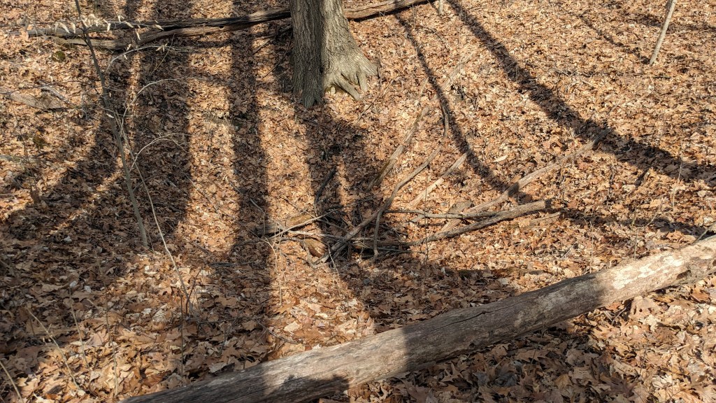
If you enjoy how flat the first half was, you may not enjoy the second half. This part is more on the side of the ridge rather than the top. This meant that for each ravine, the trail would drop into it, cross a small wooden bridge, and then climb back out the other side. This happened 3 or 4 times. There was a side trail that might have gone around the first ravine, but it had a pile of sticks on it. That is the universal symbol for “don’t go this way.” I realized after checking my map that this side trail probably led to the Sink Holes marked on the map. Perhaps there was a safety issue for no allowing hikers to go that way.

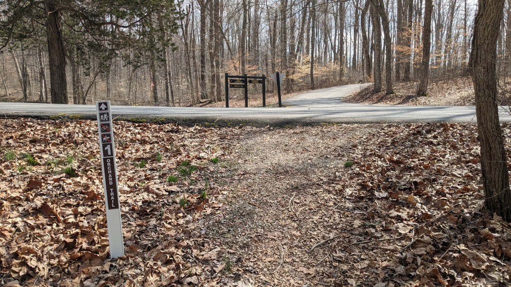
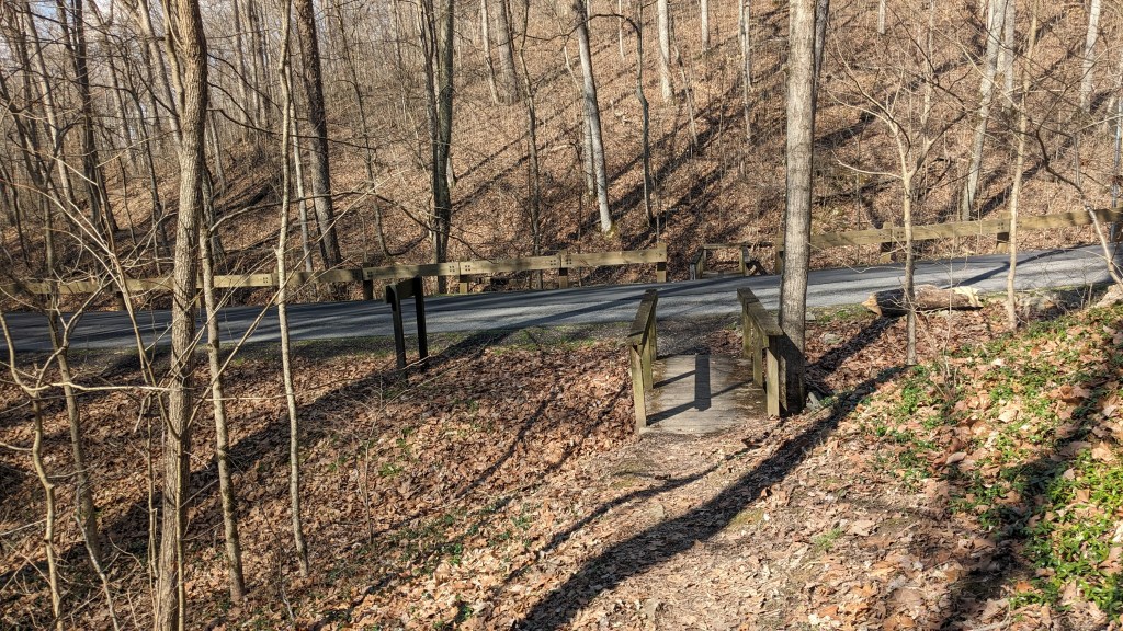
Before the trail climbed the final hill back to the shelter and parking lot, I came to the intersection with Trail 2. The map was right on, and the signage was very clear. Trail 2 is a loop in the opposite direction from Trail 1. I turned and followed Trail 2 for about a quarter mile and then found my side path to Trail 3. Again, it was all clearly marked. Trail 3 is a wider arc which is on the other side of a creek called Fallen Timber Creek. It eventually comes back to Trail 2 on down the way. Trail 3 started on the other side of the bridge over Fallen Timber Creek. The short walk along the road was great. The lake was to my left and the wide open views of the valley around the lake were beautiful on this sunny warm afternoon.
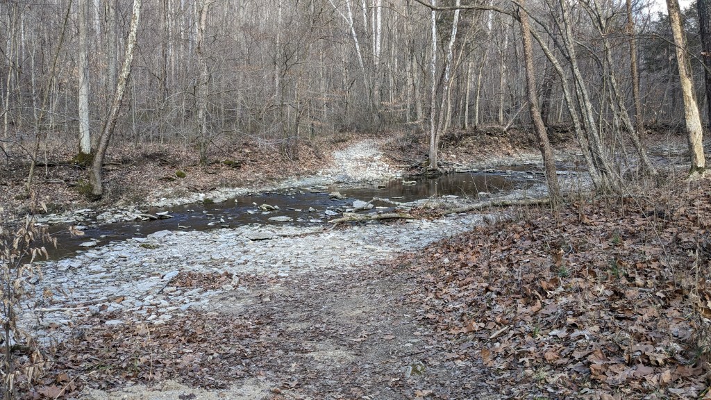
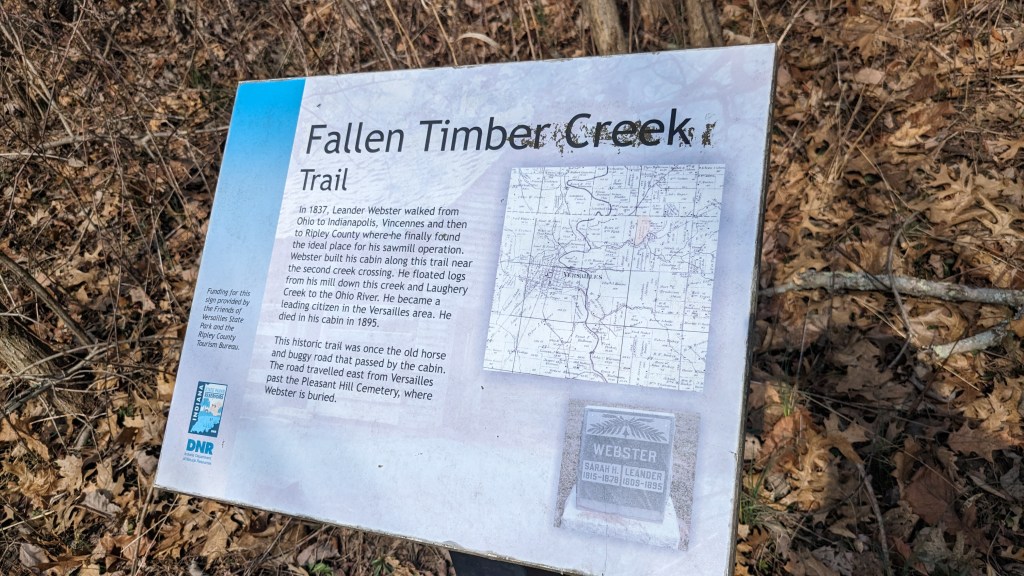
The main part of Trail 3 is a historic road built by Leander Webster. He walked all over southern Indiana looking for a place to start his logging business and build a sawmill. He settled in this valley and used the creek to float logs down to the Ohio river throughout the mid 1800s. You can see sections along the trail where the stones are still laid from the original road. This trail would be fairly easy except for the 3 creek crossings. Each is about 15 feet across, and finding a row of stones to hop across was not always obvious. I had fun figuring out how to get across each without getting my shoes and socks wet. It’s a question of distance between stones and how stable the next stone you land on is.
Eventually, Trail 3 leaves the historic road and the creek. It climbs a small hill and then spits into its own small loop. In trail terms, this is called a lollipop. It has a main trail you normally hike out and back on, which is the stick. Then there is a small loop at the end like the shape of the candy. I chose to go counterclockwise this time, because it looked longer. Eventually the trail comes out to a ridge high above Fallen Timber Creek. The leafless trees again allowed a view back to the lake in the distance. It was beautiful, but like I said before in the summer you probably can’t see the lake.
Halfway around this small loop on Trail 3 is a connector back to Trail 2. Back on Trail 2, I continued in a clockwise direction which was the more direct path back to my car. I passed by the main Campground, which is almost in sight of the parking lot where my car was. The campground is not large, but all of the sites looked nice and flat, something you look for in camping.
I could have taken a shortcut back to my car, but I was in no hurry, so I followed the trail which made a big circle around the parking lot and shelter. It was just down the side of the hill enough to not be able to see the parking lot, which gave the feeling that I was still hiking out in the wilderness. I came back to the intersection with Trail 1, and took the remaining small section to complete Trail 1 and return to my starting place.
At nearly 6000 acres, Versailles SP is much larger than Spring Mill or Clifty Falls, but a large section is dedicated to the Mountain Biking Trails and Horse Riding Trails. The part that is developed is actually rather small and compact. Anyone in shape could hike from the campground to the pool, to the nature center, to the lake, and back again. However, the small hills and ravines give it a feeling of isolation and make it feel larger than it is. I enjoyed my visit here. If I ever decide to do Mountain Biking, I will definitely be back.
