State Park – Spring Mill
After a few months of hibernation, the sun came out and I decided to drive to Spring Mill State Park. I have been to this park many times. I even took my family there on a camping trip when the kids were little. I have never had the opportunity to hike its trails and see so much of the park. It was also a chance to try out my new camera I got for Christmas. The first half of the pictures are from that camera and then the battery died. I’ll bring the spare next time.
Name: Spring Mill State Park
Location: 3 miles East of Mitchell, IN
Established: 1930
Size: 1,358 acres
Known For: Restored 1800s village with gristmill, and the Grissom Memorial Museum. The park also includes caves that can be explored by foot and by boat.

Spring Mill State Park 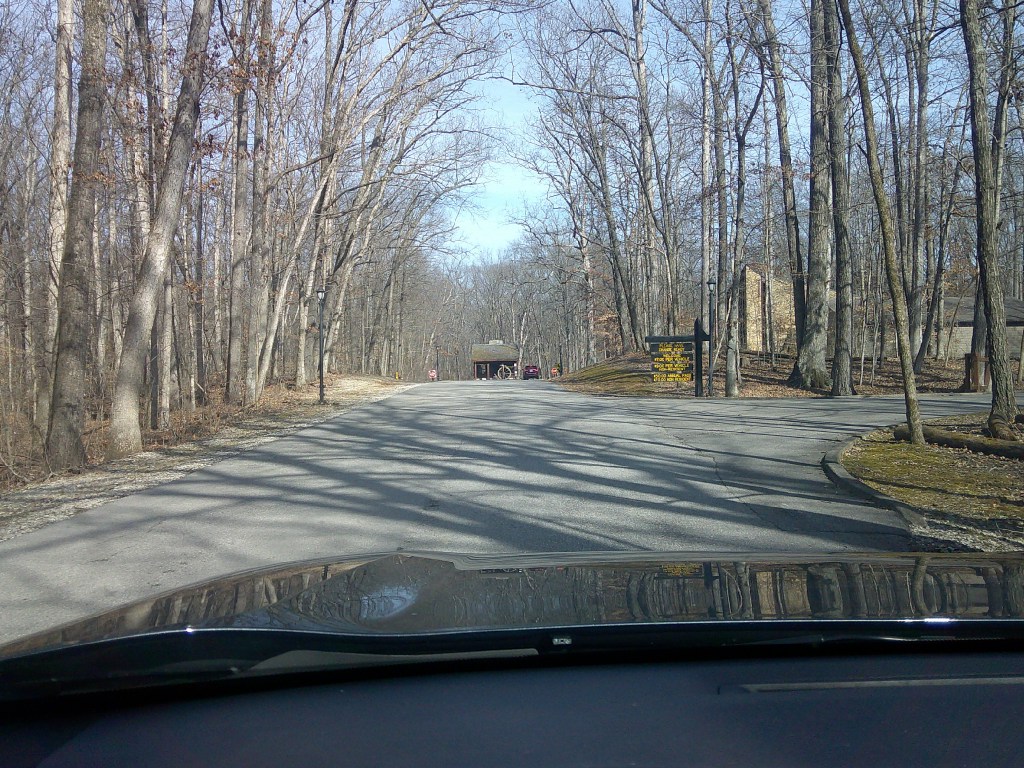
Spring Mill State Park 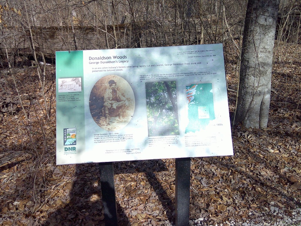
Spring Mill State Park 
Spring Mill State Park 
$CoMmEnt 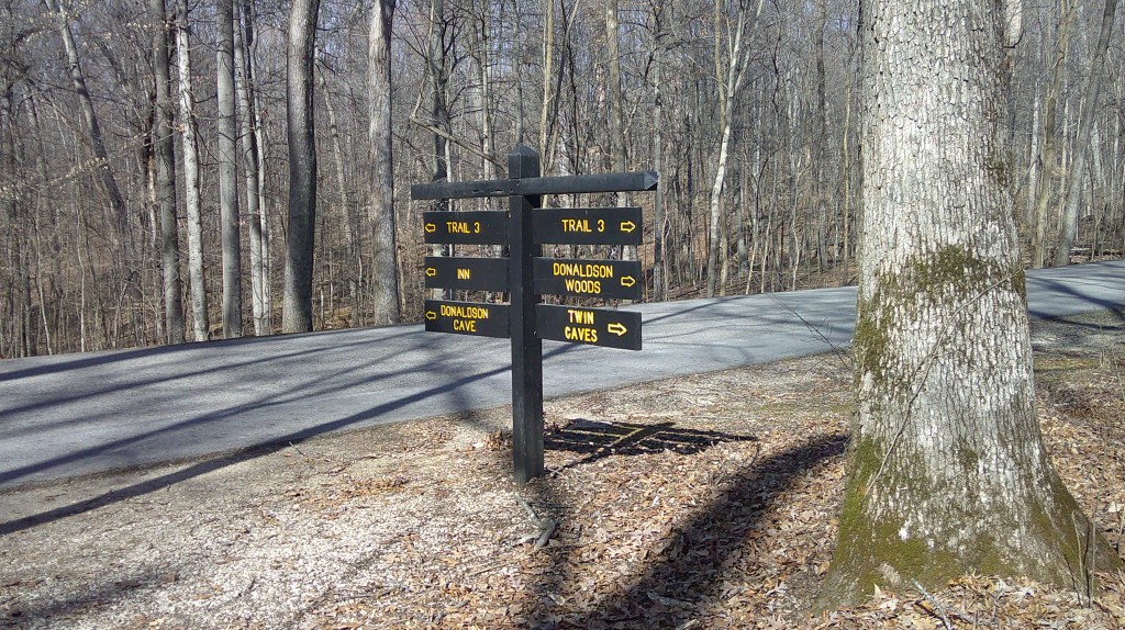
Spring Mill State Park 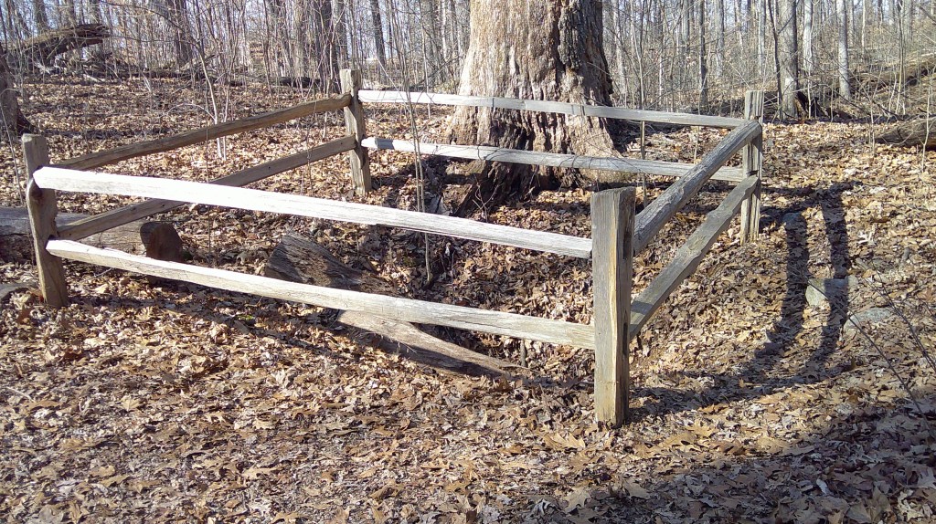
Spring Mill State Park 
Spring Mill State Park 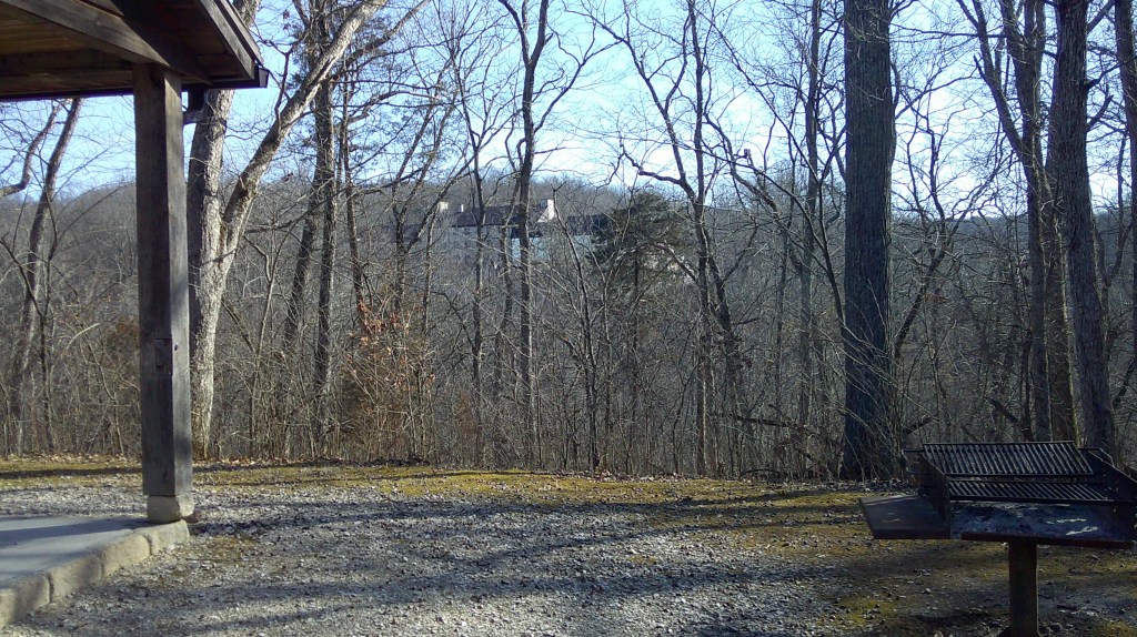
Spring Mill State Park 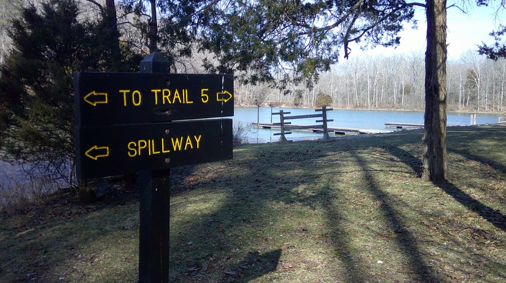
Spring Mill State Park 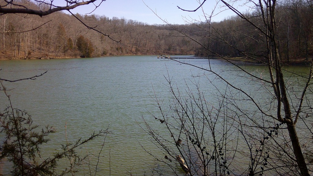
Spring Mill State Park 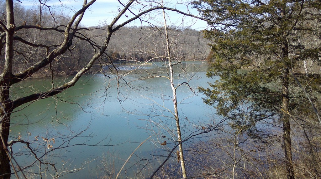
Spring Mill State Park 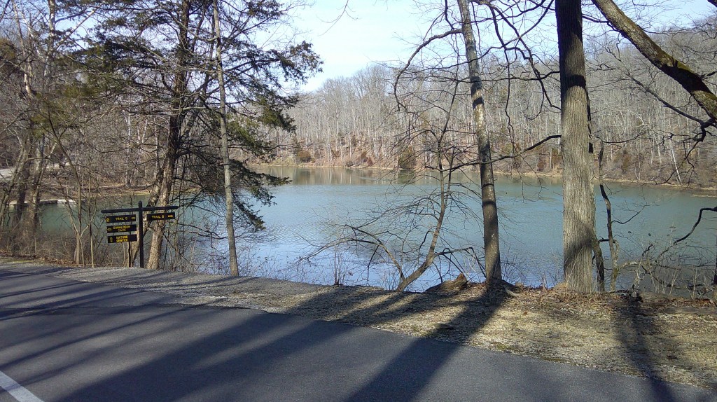
Spring Mill State Park 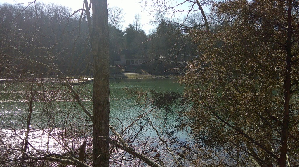
Spring Mill State Park 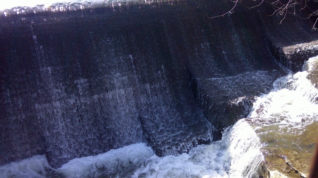
Spring Mill State Park 
Spring Mill State Park 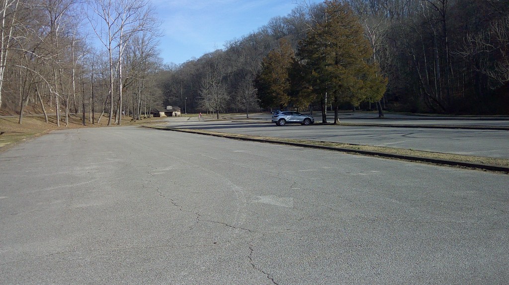
Spring Mill State Park 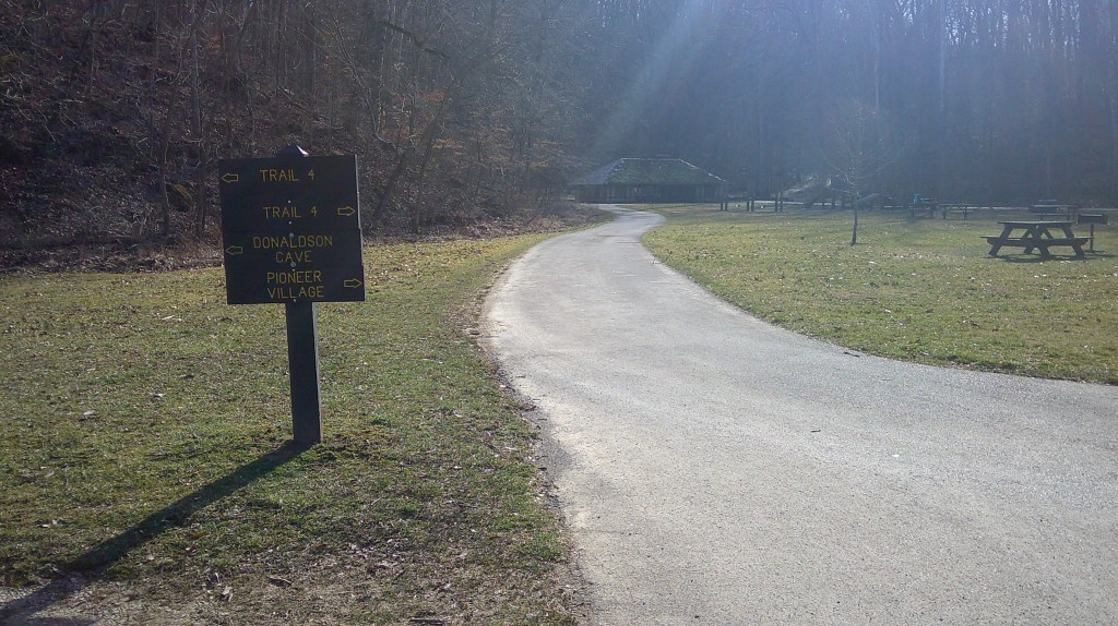
Spring Mill State Park 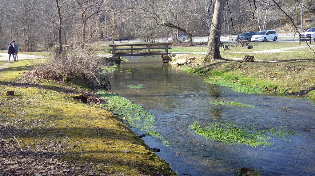
Spring Mill State Park 
Spring Mill State Park 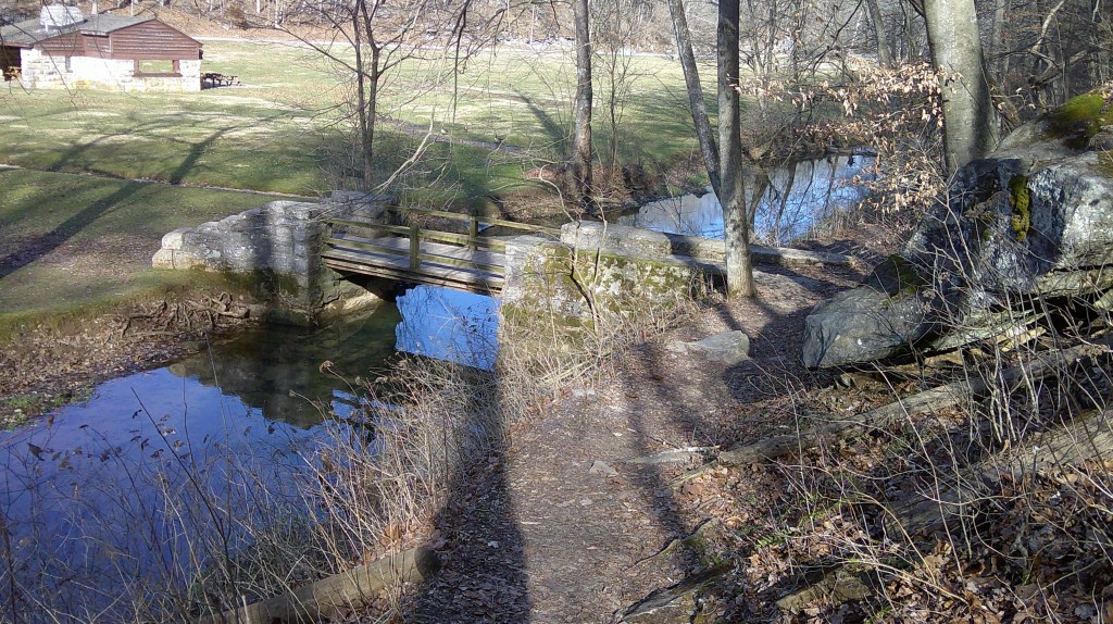
Spring Mill State Park 


My Day
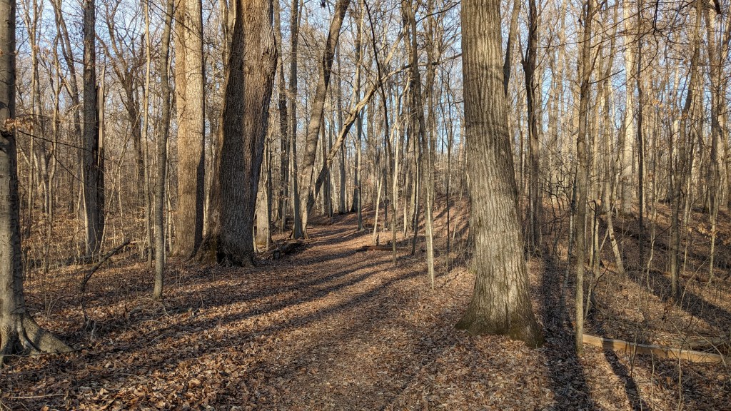
If someone would have told me that in the middle of February I could hike in 70-degree weather in Indiana, I would have called them crazy. I had a busy morning, so I didn’t get to the park until a little after 2pm. Luckily, the trails of the park are pretty flat and hiking the breadth of the park is not too difficult. The main rise and fall is from the lake and village level, to versus the park entrance.
I got a map from the very nice gate attendant and simply drove to where I expected to find a parking lot at Twin Caves. I then looked at the map. Luckily, it was obvious that connecting the trails and seeing most of the park would be easy. It looked very possible to do so without any overlap.
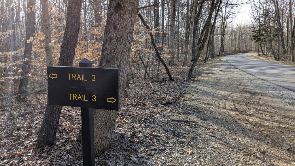
If you have read my blogs before, you know I always have something to say about trail signs. The signs at this parking lot were not great. Trail 3 passes through here, and there was a large sign talking all about the Donaldson Wood and what looked like a pretty obvious trail beyond it. I took an educated guess that it was the right one and was soon rewarded as it turned in the direction I anticipated it would. When I got to my first road crossing, there was a large sign announcing that it and the continuing trail across the road was indeed Trail 3.
Twin Caves parking lot is near the highway, so it was a little bit before the sounds of the busy road died out. In their place, I heard the sounds of many birds and saw several gray squirrels. No doubt they were all enjoying the unseasonably warm day. I am no expert on birds, but I believe I saw Downy Woodpeckers tapping away, as well as a large bird gliding in the sky above the trees. I did see what I believe were two Cardinals, and I heard a dozen different bird calls. It was a good day for seeing and hearing wildlife.
One moment, I noticed the leaves moving next to the trail. I stopped to see what would pop its head up and soon discovered several different creatures moving around completely hidden by the layer of dead leaves and grass. I could easily imagine a cat watching and anxiously waiting to pounce. I tried to get a video of it, but by the time the camera was ready they had quieted down, perhaps aware suddenly of my presence.
Spring Mill Inn is closed for the winter while they do a large remodeling project. I tried to hike the trail that goes around the Inn, but it was closed, too. That was the only part of the hike I had to backtrack. Then I walked along the road in a designated hike/bike lane around the inn and down to the lake. It was not a very long backtrack, less than a quarter mile, and was only a mild inconvenience to have to walk on pavement that long.
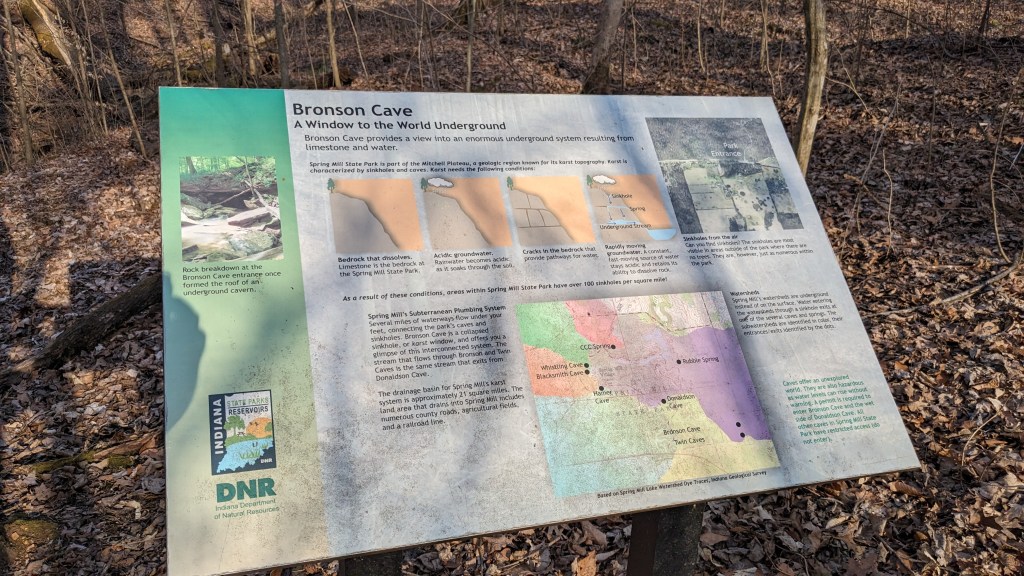
Whenever I take a wrong turn, I look for something that I wouldn’t have seen otherwise. Along this short trail was a 6 x 6 area blocked off with a wooden fence. It was a small sinkhole, which probably opens up into some kind of cave; it was at least big enough that kids could fall into, hence the fence. It was a reminder that all of the little dips in the terrain that have no way out for water are likely sinkholes as well. There is a distinction between ones that have caved in and no longer drain, and those that open either through a crack or a large hole into the underground cave system that is below the entire park.
I hiked Trail 5 around Mill Lake and the small dam that was built in the 1920s to form the lake. About ¾ of the way around, I cut up through the parking area of the Lake Activity Center in search of Trail 2. Where it was on the map was a one lane paved road that said Handicap Parking only. When I got to the top of the small hill, there was a large sign that said Trail 2 pointing forward and back towards where I came. Again, good signs when you find one, but not always where you need one.
At the end of the small road was a small parking lot and a building about the size of an old one room schoolhouse. A man was sitting in the front and as I said, “Hi” he laughed and said, “This is the only spot where my cell phone works.” There were also several small buildings that could almost be very small cabins for camping. I didn’t look in them to see what they were, but according to the map, the small road and parking lot didn’t exist and should have been a trail.
I was once again on top of a ridge above the lake and valley. When the trail turned, it dropped down to the very, very large parking lot that services the restored 1800s village and mill. On this day, it was also nearly empty; perhaps 4 cars total. It was a good day for a young girl and her bike, because she could ride all around without fear of hitting anything important or being hit.
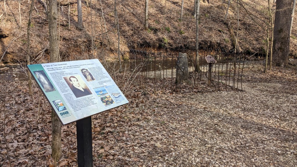
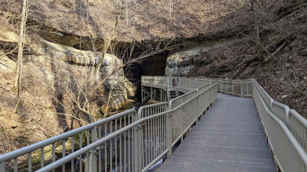
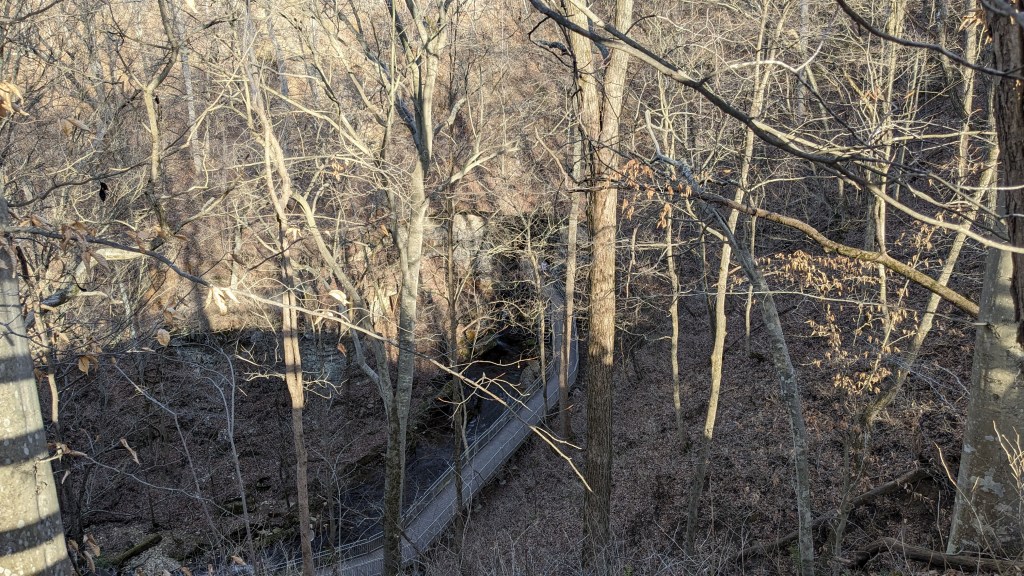
There is a small stream from the village and mill to the lake on the far side of the parking lot. I knew I would find the trail by simply using the one bridge I saw. This time, there was good signage, and I was soon on my way along Trail 4. In the direction I took it, I followed the main stream back towards the lake and then a side stream along a ravine. I passed a very small graveyard with one tombstone for Donaldson. At the end of the ravine the trail split and there was no signage. Based on the map, I assumed that the elevated walkway in front of me led to Donaldson Cave, and the stairs to my right were the continuation of the trail.
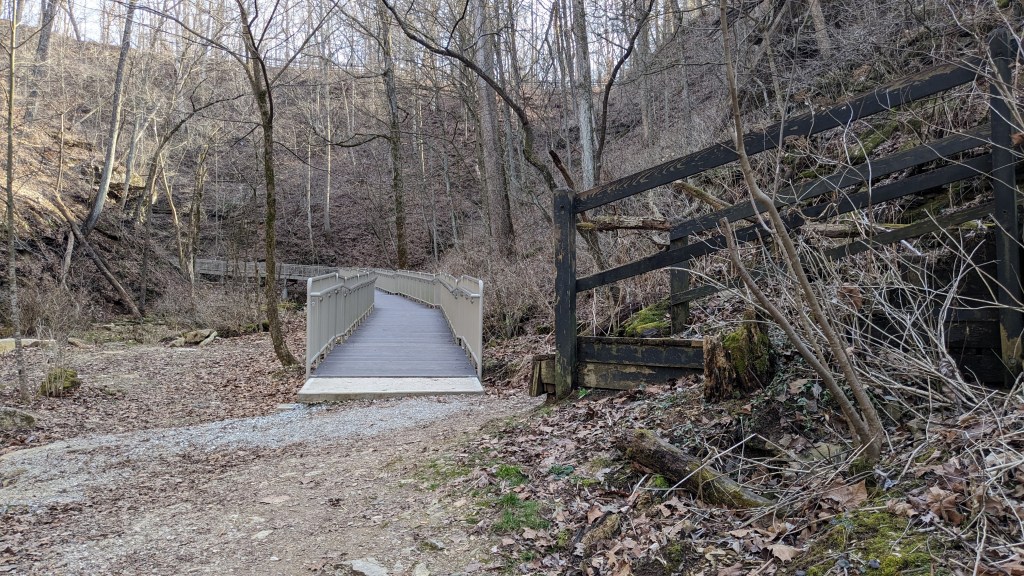
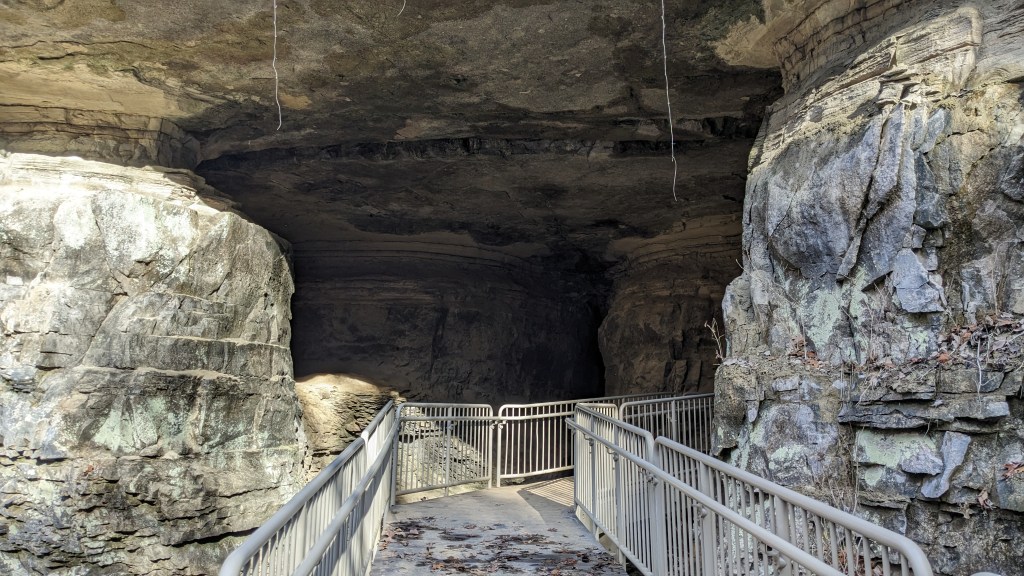
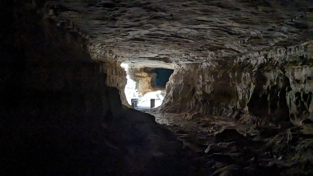
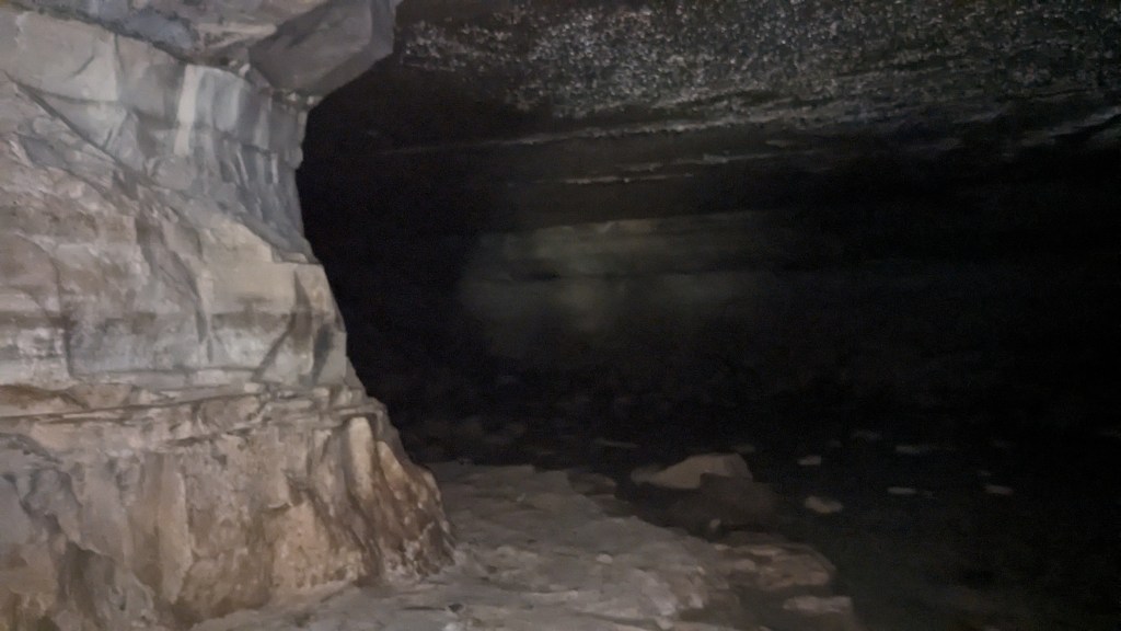
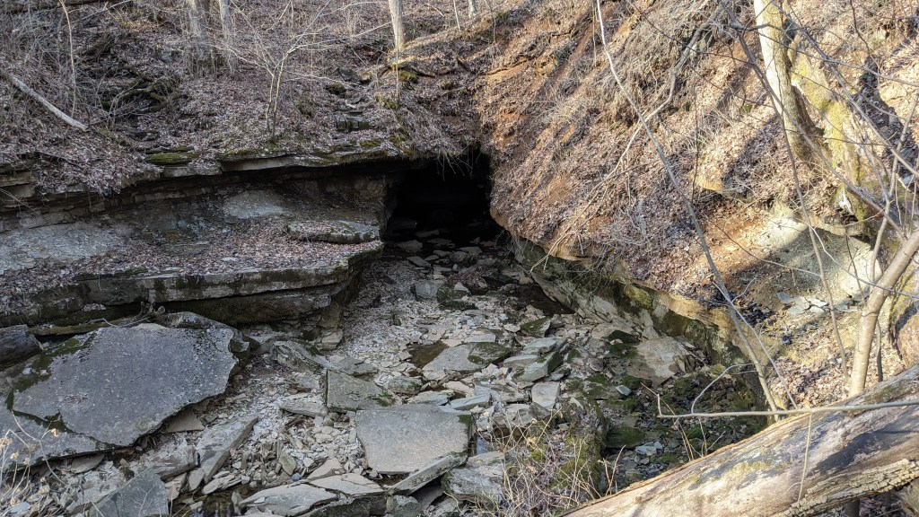
I was proven correct when the elevated walkway turned the corner and I could see the large entrance. The walkway keeps you above the water level and turns into a somewhat dry cavern to the side of the main one. The walkway ends inside the cave where you can walk back into the cavern. I went as far as the meager flashlight on my phone would allow. Then, I turned around and took a cool photo of the entrance 25 yards away.
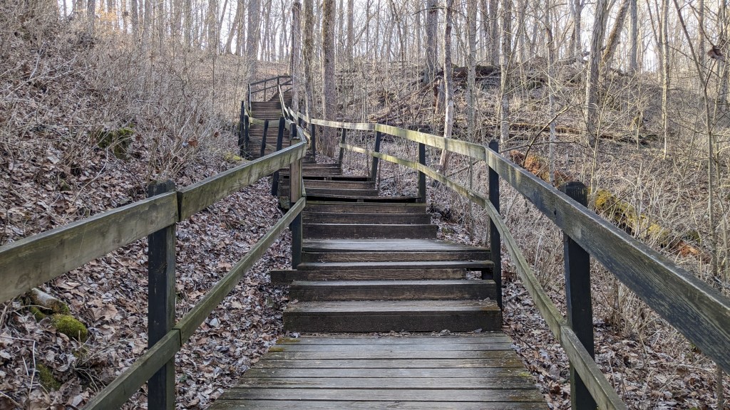
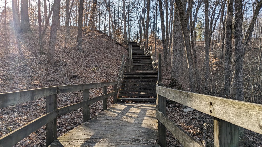
I walked back to the trail junction and then walked up the dozens of stairs back to the upper level where my hike had started. I was still a ways away from my car. Farther, actually, than I realized as I was basically just guessing and not really referencing the map. At the top, I turned left back onto Trail 3. I knew at this point I was simply following the other half of the loop around to my starting point. It was easy hiking, but it went farther than I expected before crossing the entrance road, and then farther than I expected back to the area where I parked my car.
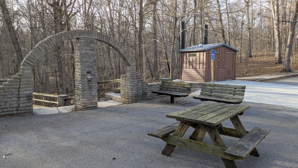
There was one more cave to explore along Trail 3 before I was done. This time, the cave was just to be seen from a nearby viewing platform. One of the nice things that Spring Mill offered was that my parking spot had bathrooms. There have been other State Parks where bathrooms are hard to find. I suppose that since in the summer they offer boat tours of Twin Caves, it is a big enough draw to necessitate bathrooms. They were just glorified pit toilets, but I appreciated them being there.
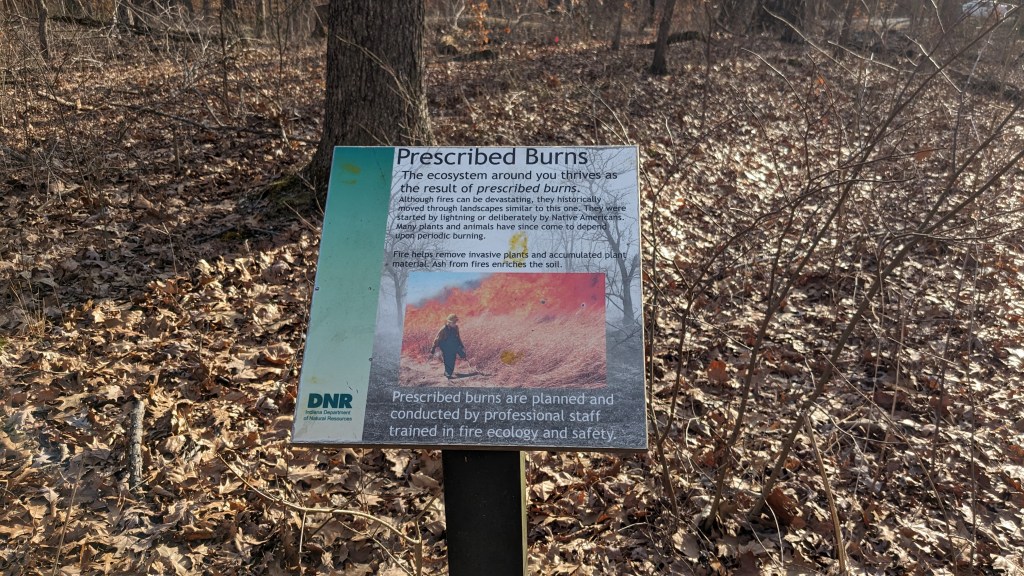
Visiting Spring Mill is a fond childhood memory. It was wonderful to see so much of the park. With the trees bare for the winter, I could see much more of the park than I might be able to in the summer. I could easily see the topography of the small hills and sinkholes. The whole park sits on a large cave structure which moves water around the park unseen to the casual observer. I had a great day. I hope to return in different seasons.
