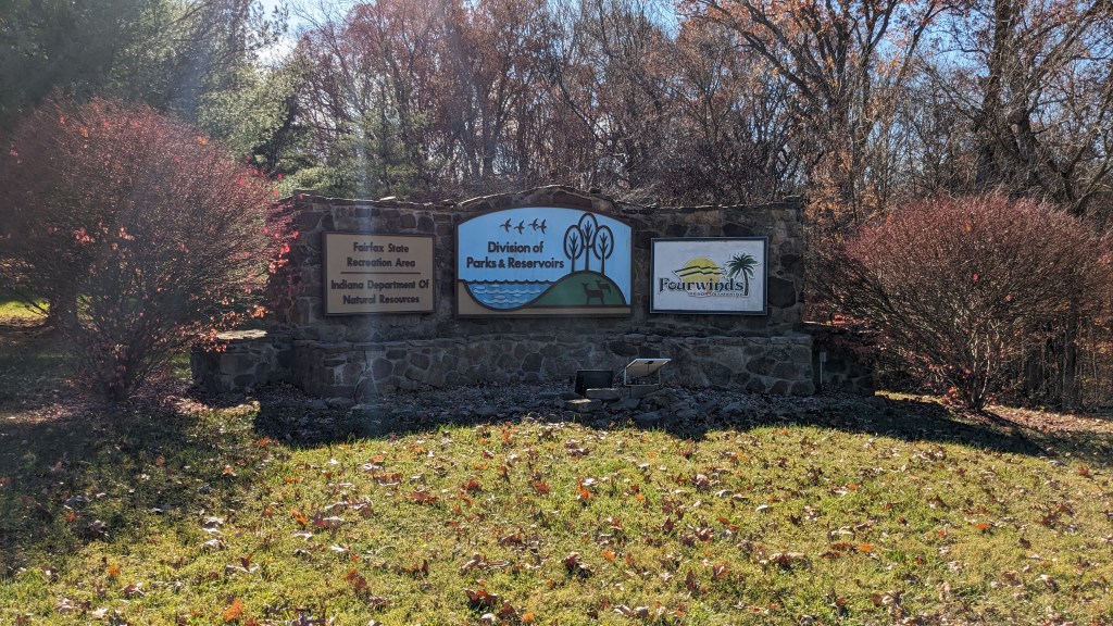
The State Parks and Recreation Areas that I haven’t visited are starting to get farther away. With a trip to Indianapolis in the plans for the day, I decided to make a triangle and visit a park farther away. My choice was Lake Monroe. Many times as a kid my parents took the family to Hardin Ridge Recreation Area which is part of the Hoosier National Forest, but I don’t remember ever visiting the State Recreation Areas. I was surprised when I found out there are actually 8 State Recreation Areas on Lake Monroe.
Name: Lake Monroe (8 State Recreation Areas)
Location: About 15 miles south of Bloomington IN
Established: 1966 with the Damming of Salt Creek (Part of the White River System)
Size: 23,952 acres – 10,750 acres lake
Known For: Boating, Fishing and Swimming. Only Paynetown SRA has camping as an option.


Only 3 of the SRAs have hiking trails, but I couldn’t visit all 3 in the time I had, so I chose two areas to hike, Fairfax SRA and Paynetown SRA. They are about 10 miles apart which meant an efficient use of time while I visited both. No Freeways on this trip. Google Maps took me through Central Indiana on my way to lake Monroe. Ironically, I passed two other State Parks on my way to and from the lake. I will visit them on another day.
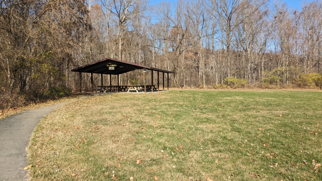
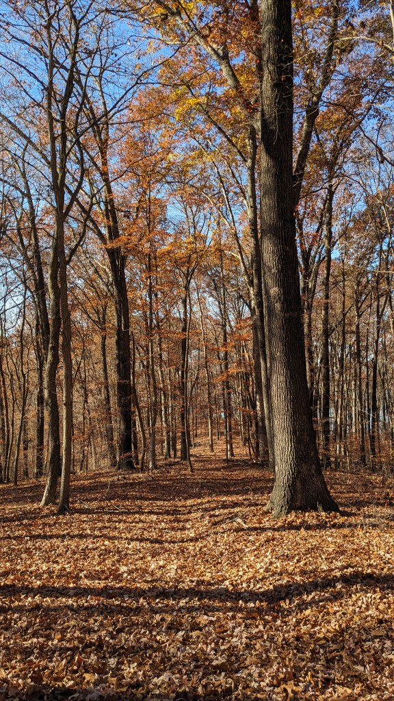
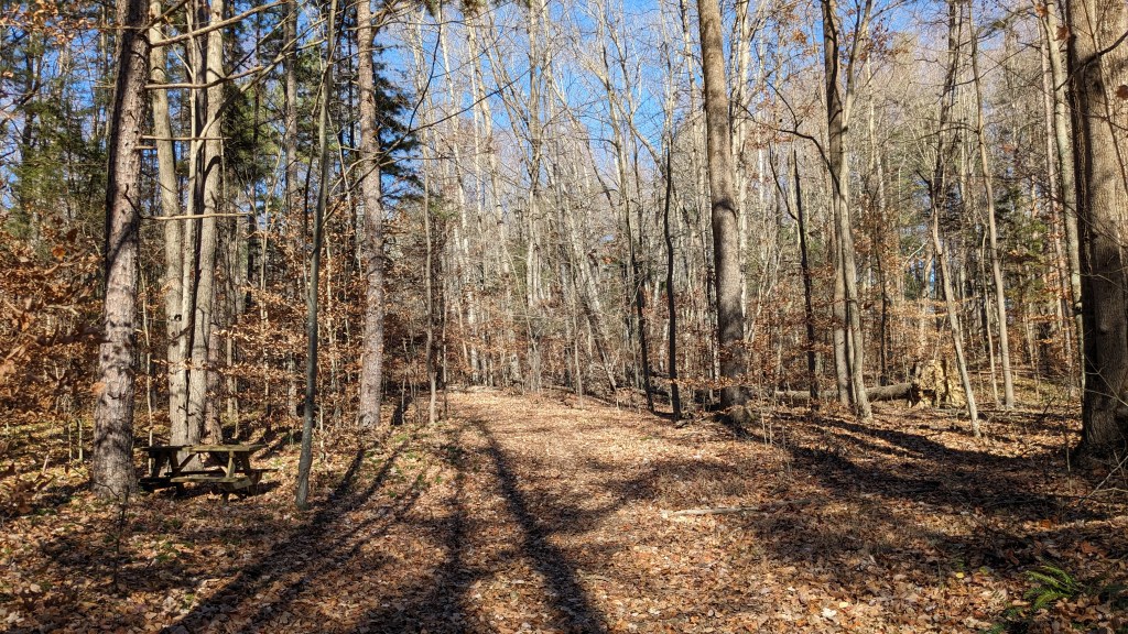
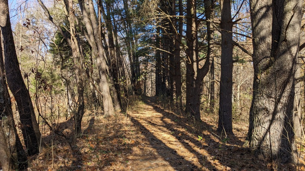
Fairfax SRA is on a peninsula with water on three sides of the park. I wasn’t sure what I would find, but I was happy to find that most of the peninsula is forested. I spent most of my hiking this trip crunching through the final leaves of fall. I began my journey at the Big Oak Shelter. The trail leaves behind the shelter where it’s kind of hard to see. 50’ down the trail you discover “The Big Oak” is a single large oak tree. There was a sign to let you know in case you missed it. In the summer, it might actually be hard to see it completely through the underbrush.

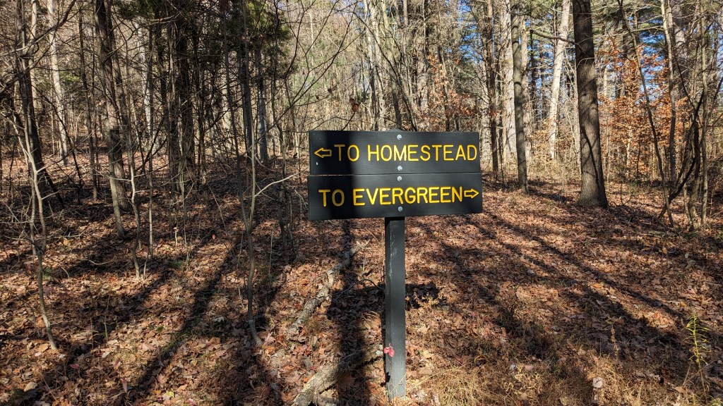
The first thing I noticed are the signs. There were signs everywhere. Not simply small flat bars with stickers, but large routed signs. They were everywhere; at every trail junction, and even along the trail. Every possible wrong turn had a double sign, so people going either way couldn’t possibly miss the sign or get lost. They also had signs along the trail just to make sure you knew you were still on the trail. Sometimes, I could see 2 or 3 of these from one spot on the trail.
To make my route, I connected 4 different trails. I began on the Big Oak Trail which makes its own small loop. Then on top of that, like the top of a figure 8, is the Old Homestead Trail. Off of the Homestead trail is an out and back trail called the Quarry Trail. This trail takes you to the opposite side of the peninsula. Finally, there was a small side loop around a small pond called the Evergreen Trail. Then back along the Big Oak Trail to where I started. My path here was about 4 or 5 miles.
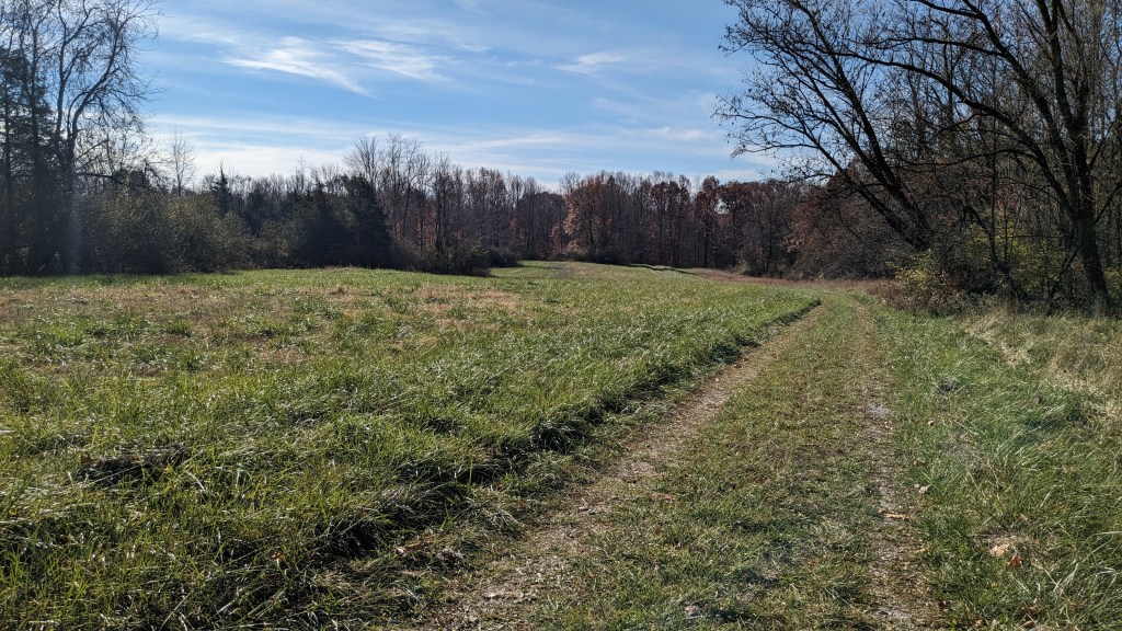
The Big Oak Trail is a traditional-looking trail and traverses the small ridges as you climb up to the main ridge at the center of the peninsula. Once I was up near the top, I caught the Homestead loop which was a much wider and flatter trail that circles around the top of the ridge. Much of the top is a wide open field where one can easily imagine a homestead and small farm used to exist 100 years ago.

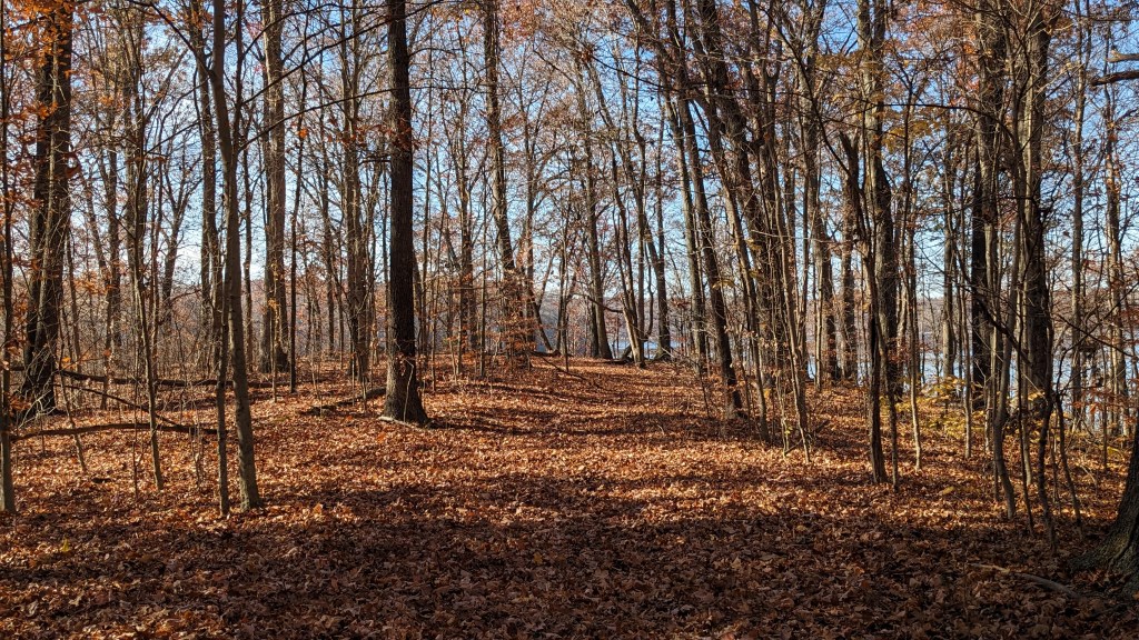
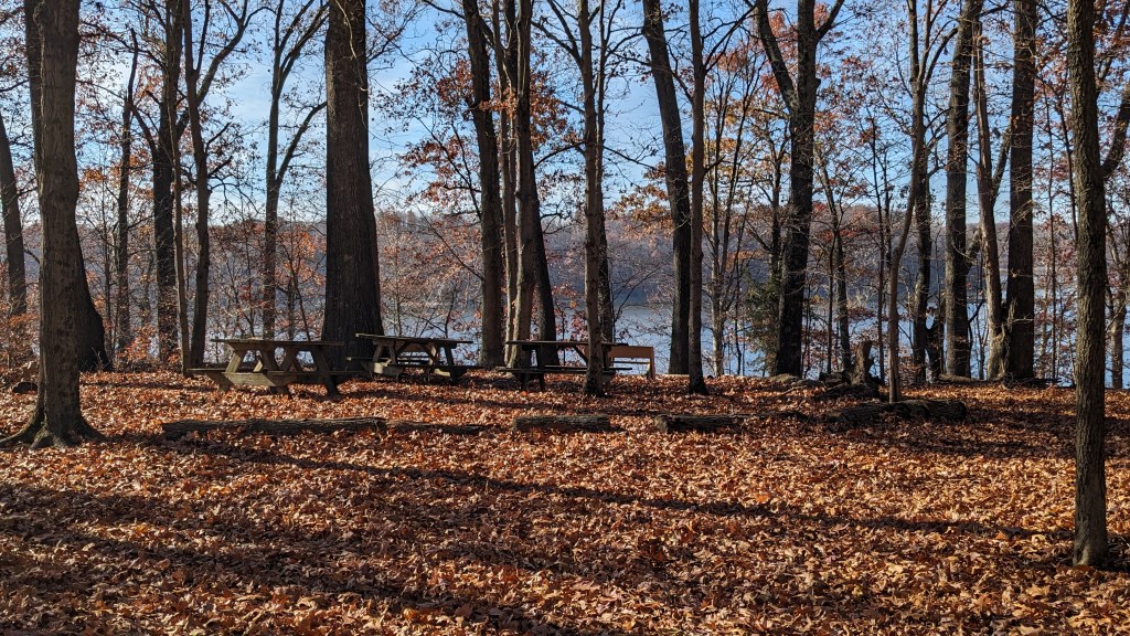
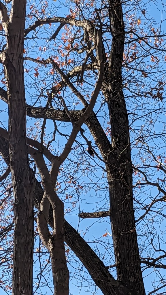
About halfway around the Homestead loop is another wide trail leading down the opposite side of the ridge from where I started. This down-and-back trail called the Quarry Trail leads down to the water’s edge on the far side of the peninsula. I could tell that not too many people travel this way, because the leaves had completely overtaken the trail. It was wide and capable of a truck coming down it, so despite the heavy coverage it was still pretty easy to follow. The numerous signs kept me on the right path, too. At the end of the trail, I was surprised to see several picnic tables in a circle together near the water’s edge. It made for a very nice spot to stop and just listen to the wildlife. I took pictures and videos of a woodpecker above me busily finding and storing food for the winter.
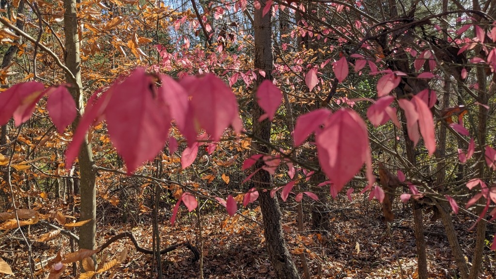
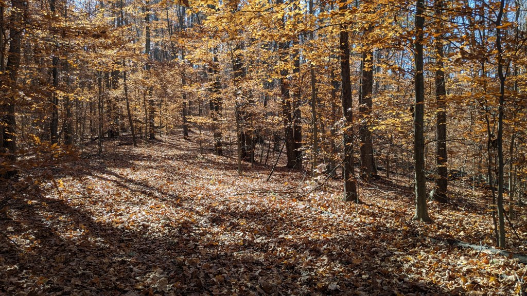
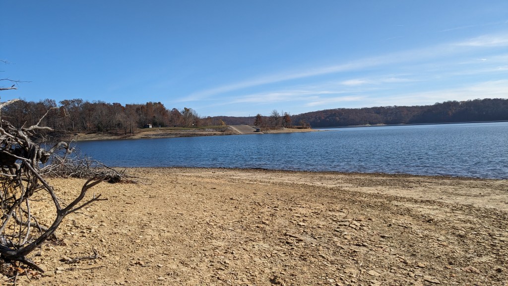
Hiking back up the Quarry Trail, I had time to notice all of the beautiful colors. Despite being later in the season, there were some striking colors including a few smaller trees with bright pink leaves. I rejoined the Homestead Trail and followed it until I reached a beach area at the tip of the peninsula. Here you could see a large part of Lake Monroe and you could also see how low the water was based on how much of the smooth lake bottom was now visible.
From here, I followed the trail until I reached several intersections where the Homestead, Big Oak, and Evergreen Trails meet. I took the Evergreen Loop Trail which seemed to be no longer than a circumference around a small pond. When I reached the far side, I realized why the trail was named Evergreen. The path became a corridor lined and overshadowed by dozens of Evergreen trees. It made a striking tunnel effect as you walked through it.
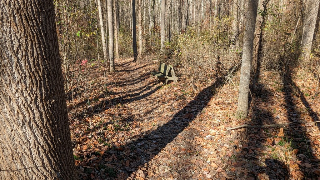
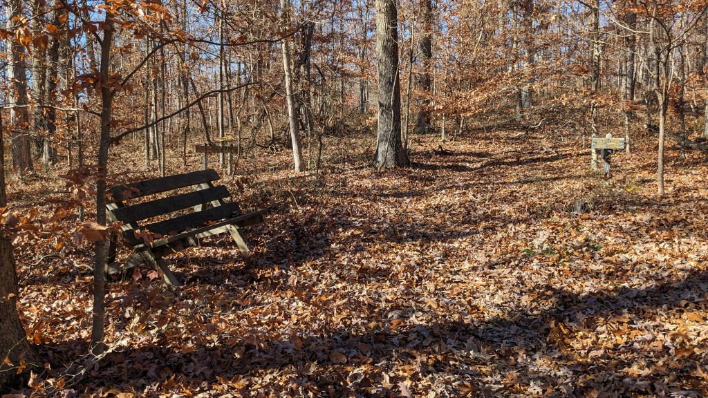
The Evergreen and the Big Oak Trails are both more traditional single-file type trails. Once I hiked around the pond, I joined the Big Oak Trail once again and began my journey back to the starting point. The combinations of trails afforded a variety of settings, from forest to open fields, to beautiful views of the lake, and finally to a dark Evergreen path. With some ups and downs, this isn’t an accessible path, but it wasn’t too difficult either. The Big Oak Trail has benches at very regular intervals. One could easily hike no more than 50 yards between opportunities to sit and rest.

Back at my car, I made a quick calculation and decided I had time to visit Paynetown SRA before I had to be on my way. The 11-mile drive took 21 minutes through the small back roads which followed the lake between the two parks. Paynetown SRA seems to be much smaller than Fairfax SRA. I made the mistake of driving into the State Office parking lot, because the sign there was much larger than the actual sign at the entrance road.
Once I found my mistake, I drove into the park, and easily found the trailhead. I think the idea was to park in the nearby parking area. The area in front of the trailhead sign was covered in leaves, so it was hard to tell if there was actual parking at the trailhead or not. Nonetheless being a Monday in November, I parked and figured that no one would care.

The trail here was a combination of three trails that together made a loop. The loop is a little over a mile and a half long. The base of the trail along the road is part of a trail called the Whitetail Trail, which continues along the road back to the park entrance. Immediately, I realized this was going to be a different experience. Just crossing the next road the trail disappeared. I crossed over the road and had to just assume that the trail continued on the other side. It was a few minutes before I came across the next sign.
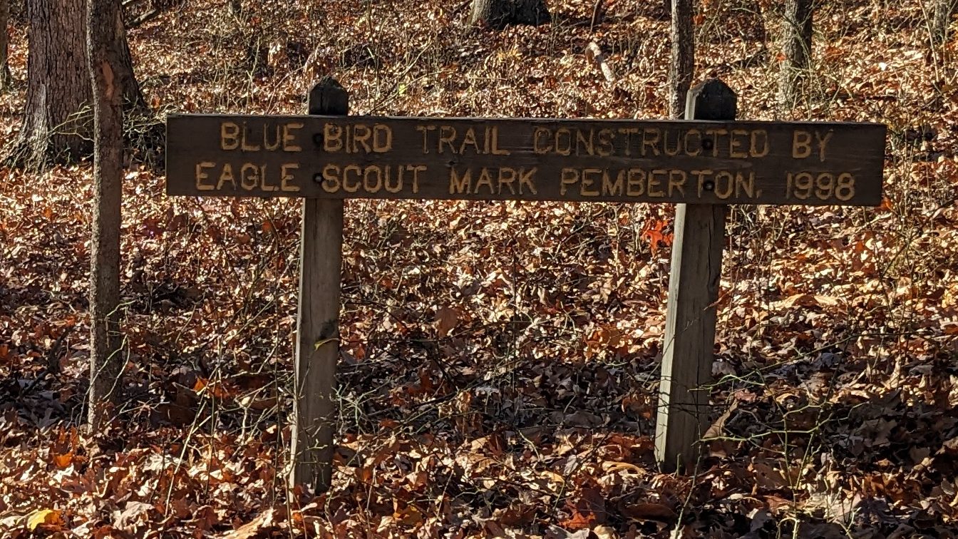
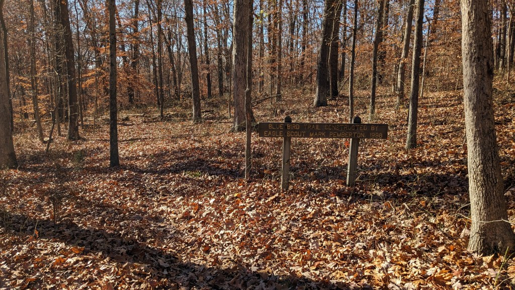
Somehow in the 45 minutes I spent in this park, I didn’t actually make any wrong turns. I wondered a few times though. There was a sign eventually where the Blue Bird Trail connected with the Whitetail Trail. So, I turned left and headed up into the woods. A short time later, I came up to a very large sign. It read, “Blue Bird Trail Constructed By Eagle Scout Mark Pemberton, 1998.”
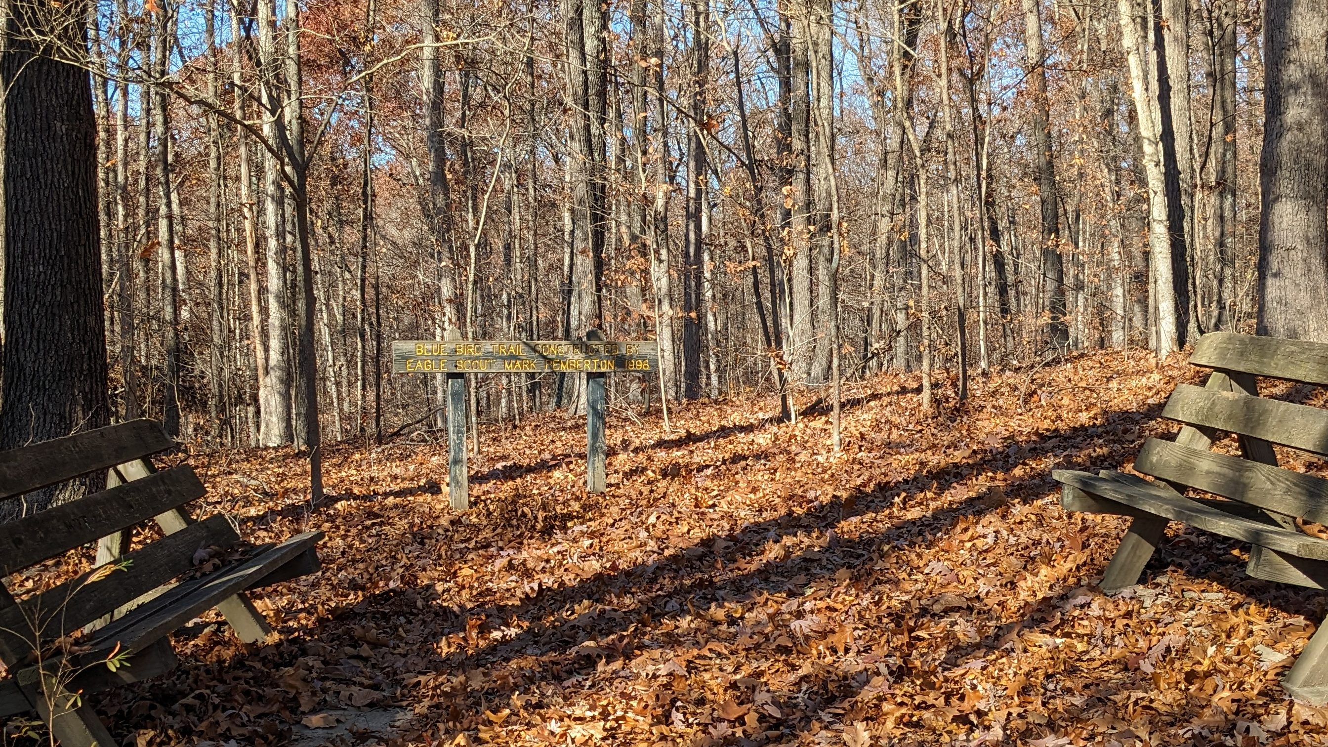
I thought, as an Eagle Scout project, the trail ahead would have plenty of signage, but that was not to be the case. I had to stop several times to try and figure out where I was going. Perhaps in the spring or summer when the leaves are gone, the trail is easier to follow. It crossed a fire road and made a sudden abrupt hairpin switchback. Both places, I had to stop and retrace my steps to make sure I was still on the right path. At the other end of the trail was a similar sign to the one above. This time there were two benches flanking the trail so you could sit and admire the sign.
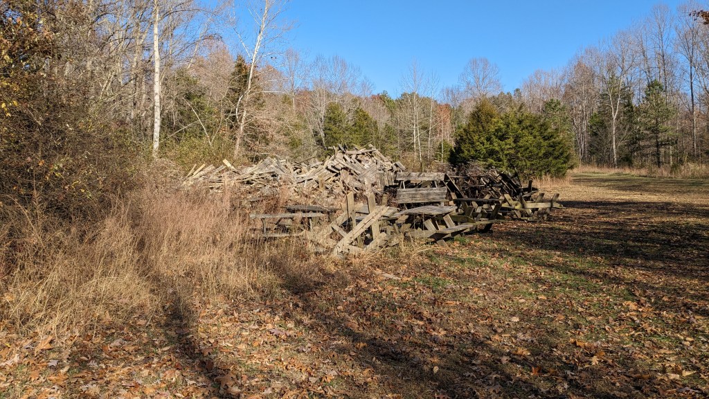
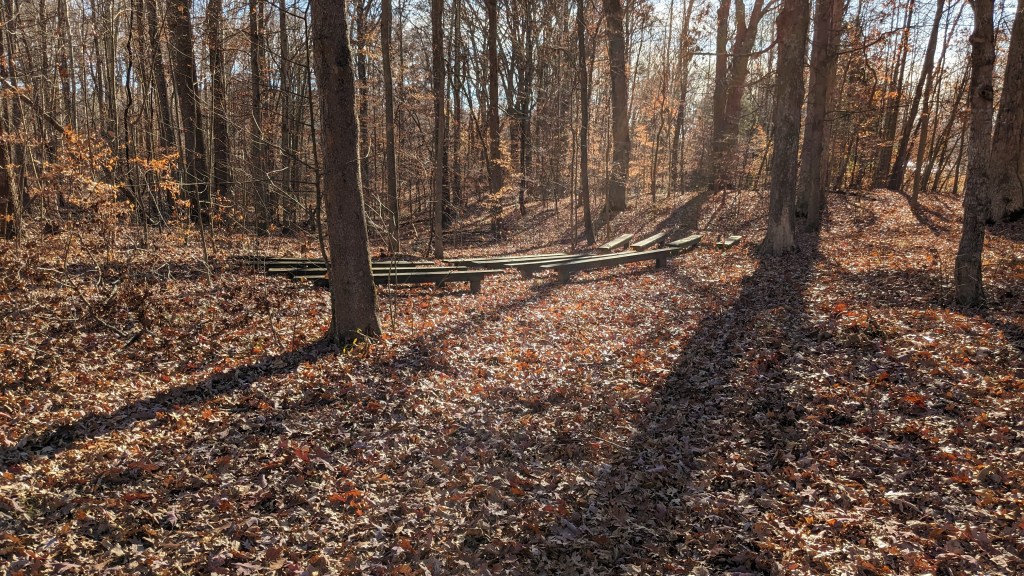
According to the map, I was now on the Tree Trek trail, but there were no signs. It got harder to follow the trail, not because it was covered in leaves, but because it crossed several other openings that looked like potential trails. Eventually, it opened into a small field where it was anyone’s guess where the trail led. It was here I found the graveyard for all the old and abandoned picnic tables.

I headed where generally I thought I should be going and eventually I came across what appeared to be a small amphitheater setup and, near there, a trail sign for Tree Trek Trail. I thought, from the map, I should be done with that trail now, but I followed it anyway since it was my only real option. Indeed, this last trail did lead me back to my car. I saw little in the way of wildlife in this SRA. Perhaps, that was my fault for having to spend more time focused on not losing the trail.

Paynetown was similar to Fairfax with its gentle hills leading up from the lake. In Paynetown, the lake was only on the south side of the road. The trails, however, were all on the north side, so there were no views of the lake. Instead, it was just a simple walk through the woods most of which was on a small single-file trail. There were a few spots that were a little steep, and one of the ravine crossings had just a single wood board crossing.
On the whole hiking through these two SRAs was well worth my time and energy. My only complaint was that I thought they could have taken half of the signs from Fairfax SRA and brought them over to Paynetown SRA then they would each have had a reasonable amount of signage.
