This weekend I made my second trip to O’Bannon Woods State Park. All I can say is that they need to work on their map making skills, and they really need to work on their signage at the trailheads and trail intersections. It took two weekends for me to even come close to hiking my intended route. Parts 1 and 2 below are a retelling of each weekend’s adventure.
The Details:
Name: O’Bannon Woods State Park
Location: About 10 miles west of Corydon on Old Forest Road
Established: 2004 (established as a state park)
Size: 2000 Acres
Known For: Wyandotte Caves are in a non-contiguous part of the park. There are also living-history demonstrations at a pioneer farmstead which features a one-of-a-kind, restored, historically accurate, 1850s hay press and barn with accompanying exhibits.


Part 1
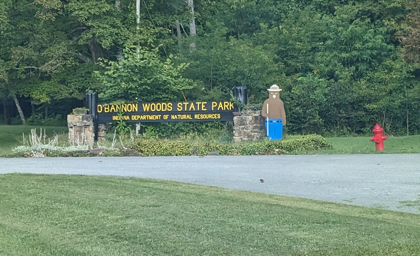
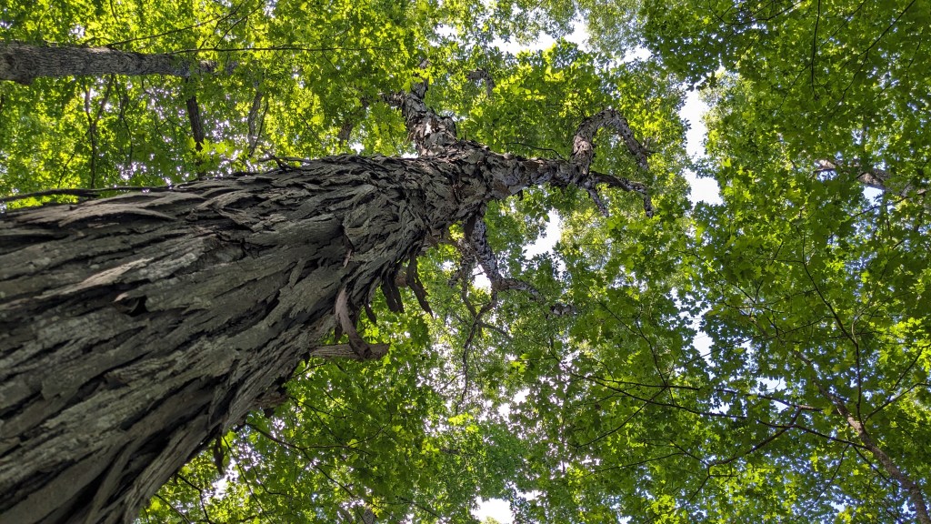
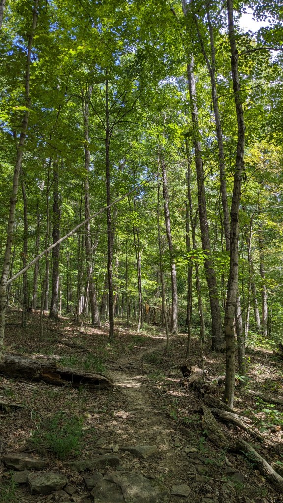
My first attempt at hiking through the O’Bannon Woods started out on a very warm Saturday afternoon. This was my first visit ever to this park, though I have, in fact, hiked, crawled, and slept in the Wyandot caves as a kid. They are a separate part of the park about 5 miles north of the main park. Leading into the park are large signs announcing the types of trees that have been planted along the road. Unlike Deam Lake of my last adventure, there was a nice big sign announcing the entrance into the park. There was also a nice young lady who actually offered me a map along with checking my state park pass.
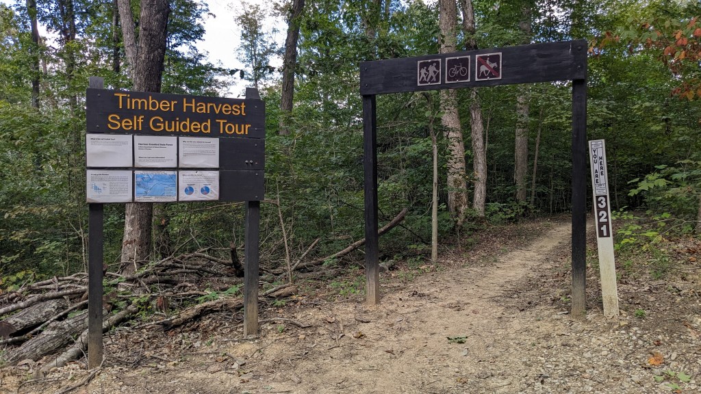
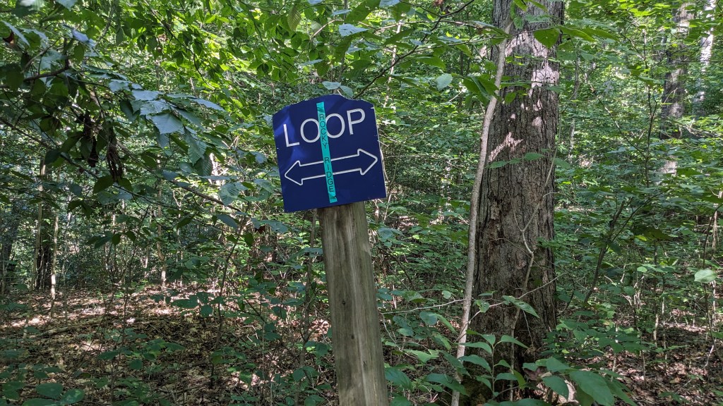
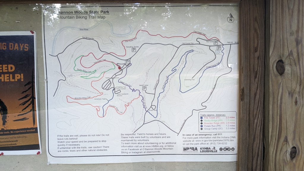
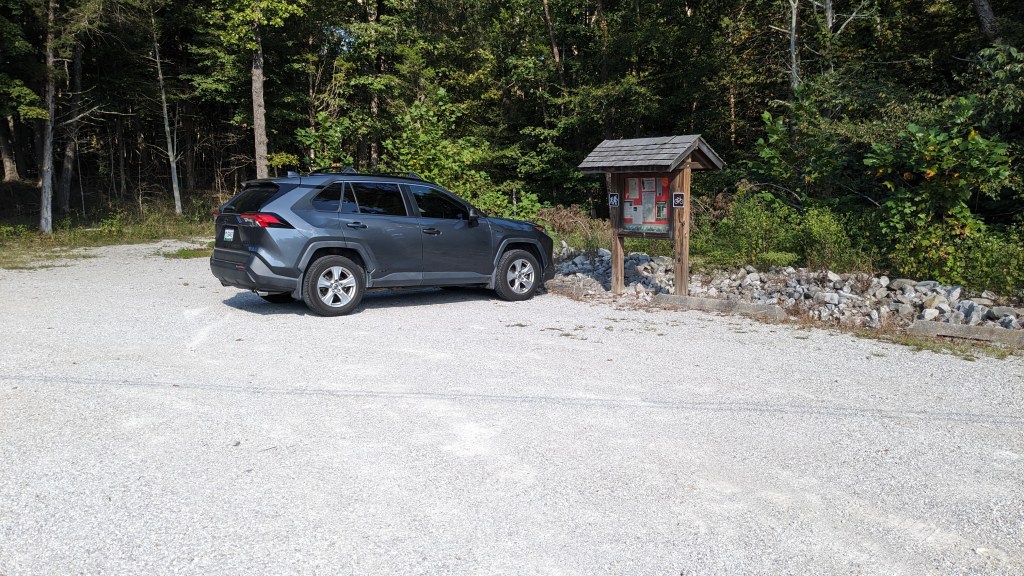
Not having a chance to look at the map right away, I drove from the entrance to nearly the opposite end of the park. In the end, I decided to park at a Trailhead about half way through the park. The map, once I had time to study it, was very confusing. There are trail names, Trail abbreviations and then trail letters A, B, C, D, etc. In some instances, these three titles didn’t seem to be related. In order to make my loop around the park, I needed to negotiate at least 5 different trails all in the correct sequence. The map was also very small because it included the Wyandotte cave area and the space in between.

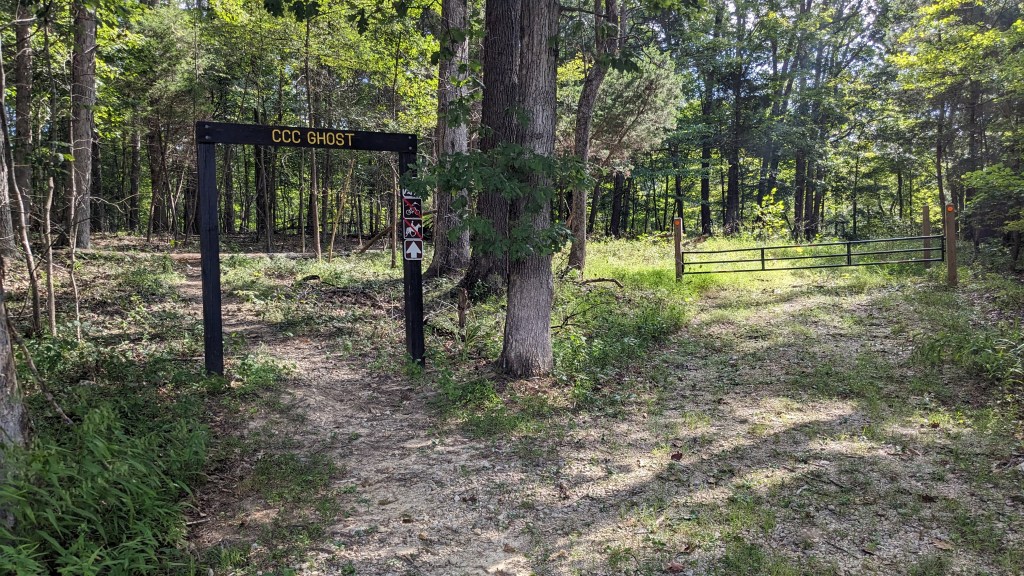
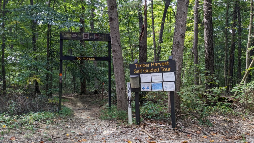
With only a vague understanding of all of this, I started out. I immediately went under a sign designed to decapitate those on horseback. The sign on the post said, No Horses Allowed. I found it funny, because the horse could easily fit below the sign. It would be the rider who would be stopped by the sign itself. Having walked through the post and sign uninjured. I set out on the trail before me.
It was marked first with one orange and then red marks along the trail after that. Now, in addition to the 3 names on the map I seemed to be following the “red trail”. The opening horse sign said CCC Ghost across the top. On the map, it is trail C, and now I am following the red squares which I assume is the CCC Ghost trail. At some point, I was looking to intersect the GC trail. Nothing on the list of trails on the back of the map matched GC, so I wasn’t sure about the trail. I did know that it allowed bicycles and unlike my current trail possibly horses. I was, therefore, looking for a trail that was probably larger than the trail I was currently on.
After about a mile or more, I came across a T in the trail. My red trail signs led off to the right on a very small trail, and a new Orange color led me in, what I considered, the basic direction I was trying to head. I took the orange trail, hoping it to be the GC trail and continued on. It was quite a while still heading in generally the right direction that I heard lots of voices on the hill above me. I could tell from the sounds that I was passing below the pool, which signaled that I was indeed on the right path. I soon came across another set of Horse rider decapitators. In tape on each was the name “Group Camp”. It was a while before I realized this was the actual name of the GC trail I was on. Another 20 minutes or so and I emerged at the entrance road in sight of the entrance gate.
Upon coming out to the road, I was immediately lost. What I mean is there was no clear place where the trail continued on the other side. There was a sign directly across the road, but no identifiable trail near it. The sign read “Fox Hollow East.” My next trail was labeled FT on the map, but I had thought that meant Fire Trail or Fire Tower Trail. When I had walked all the way over to the sign, I realized there was an almost hidden trail beside the sign. I had to step into a hole in the brush to see that this was indeed a trail. This trail too was marked with the same red signs as my original trail, which now meant, the colors indicated not a specific trail, but something else.
The trail was mostly unused, and for the first time I ran into several spider webs. It was, in fact, a short trail and I soon ran into a nearby fire road. I realized that I had taken a very unused side trail, and most people probably used the fire road gate as the main starting point for this part of the trail. This was also the high point in the park, so I took a moment to text my wife. I told her of the trouble following the trail, and then I made the mistake of boasting that so far I had made all the correct turns.
Literally 50 feet after sending that text, I walked right past a left turn and continued down the well-maintained fire road. The fire road was so well maintained that I drifted off in thought. Some time later, the fire road started to degrade and I came across some spider webs across it. Only then did I start to question where I was, yet it was still very easy to follow, so I continued. It was only when the road took a steep downhill turn that I began to question my choice. However, I could tell that I was basically heading in the right direction on the map and so I continued. It was only at the bottom of the large hill that the fire road melded into the dry creek bed at the bottom and split into several different directions that I realized I had gone too far and most likely in the wrong direction.
I turned back and only then realized just how steep the hill back to the top was. All along the way on my return trip, I would stop and do a 360 degree turn to make sure I had not missed the turn. In the end, I think I walked about a ½ mile too far, meaning a mile total out of my way and with a steep down and back up to boot.
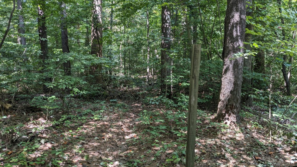
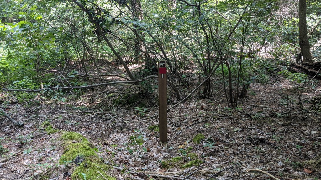
I found myself within sight of the gate at the start of the fire road and within 50 feet of where I texted my wife. I looked to my right and saw what ended up being the last red sign on the fire road. The sign had a “1” on it, but no arrow or any markings to suggest a turn. To the left of the trail was an old wooden post with nothing on it. Beyond the post were lots of small branches scattered on the forest floor. I had to walk 10 feet past the wooden post, before I could finally see that behind a large tree was indeed the next red marker. “I found the trail!”
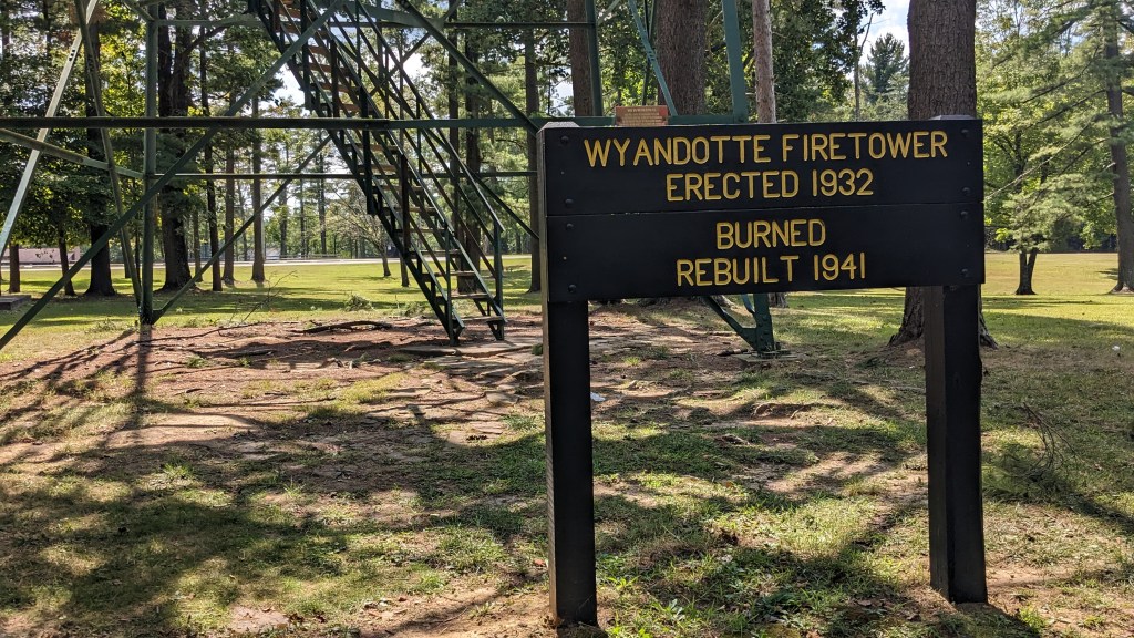
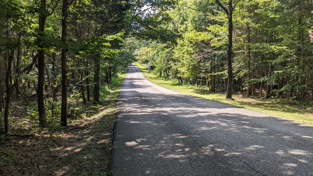
Instead of following this trail I walked back out to a picnic table and found the Fire Tower which stands at this high point in the park. It is open for anyone to climb it. Across the small parking lot from the fire tower was another trail entrance. This one was labeled with its own large sign “Fire Tower Trail.” No doubt, the turn I missed connected with this one. This, however, seemed to be the official entrance to the trail. I decided in the heat of the day, that I would take the Fire Trail another time. Instead, I headed back along the road. This walk on the road was still well over a mile and it took another half hour to reach my car.
Part 2
This Friday, I made a return trip to O’Bannon Woods State Park. I parked in the same spot as the week before. I walked 50 feet from that point under the No Horses sign. It was here I realized that I had misread the map on my first trip. I indeed didn’t make any wrong turns in the first section, but I was on a completely different trail than I had realized. Despite the large sign saying CCC Ghost trail, 50 feet later on both days I went straight onto Group Camp (GC) trail and missed the left turn necessary to continue on CCC Ghost. There were no labels on the posts, but it was now clear that I had been on the trail I was looking for from nearly the very beginning of my hike both days. This was not the last place today that I found two trails where the Trailhead sign only mentioned one.
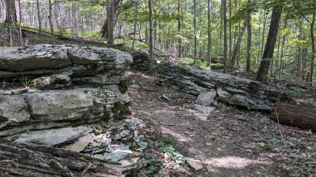
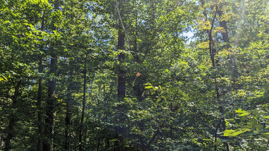
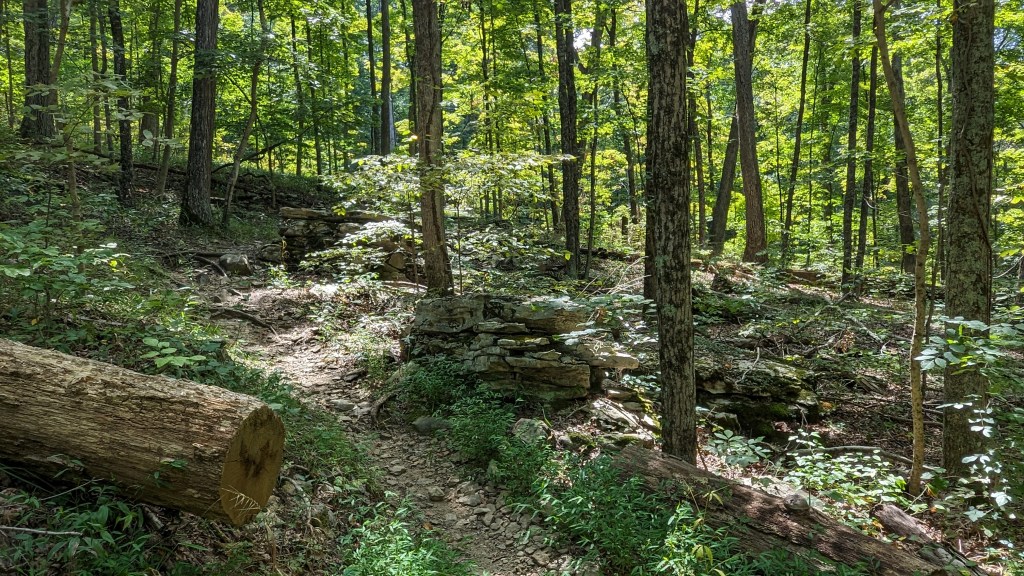
When I got to the Fire Tower, like the week before, I made my way over to the Fire Tower and took the Fire Tower trail bypassing the fire road all together. The FT trail like all the others in the park was a very nice trail that was easy to follow. All of the trails in the park are well-maintained and beautiful, even if poorly labeled. The park is deceptively long and narrow. I began to realize this when I finally reached the next major trail intersection just west of the Group A Campground. I had taken an hour to hike to the Fire Tower from my car. It took me another 90 minutes to reach this intersection from the Fire Tower. I realized that my route was going to take way too long.
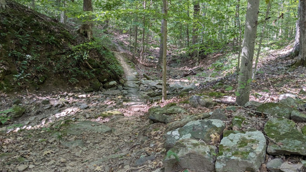
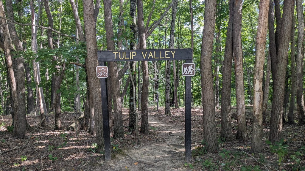
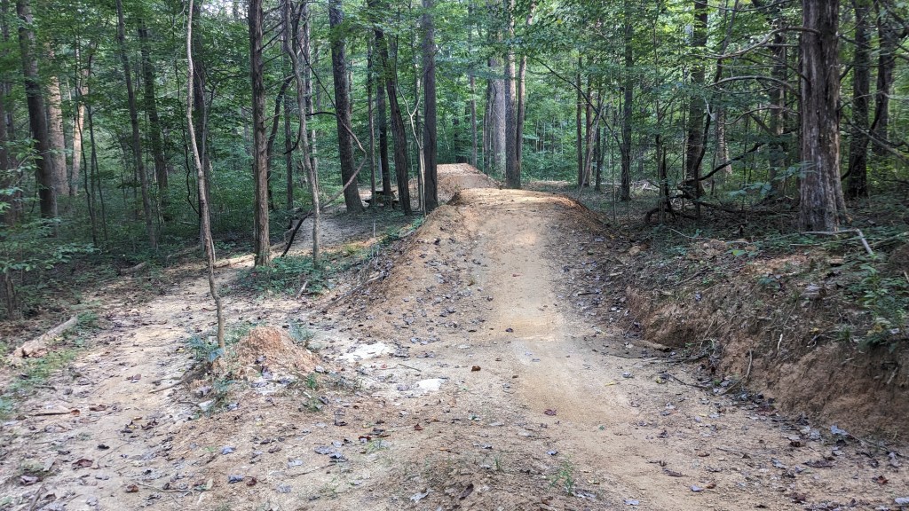
I was still pretty far from my car, but I decided to take an alternate path which looked to be more direct. It took me to the nearby Class A Campground and led me to the start of my final leg. Here again, the sign over the trail head said “Tulip Valley.” I, however, was looking for the Potato Run trail. Where was it? I had begun to figure out how this park worked, and decided to hike the Tulip Valley trail. Sure enough, in about 50 yards or so I found a trail branch, which was actually labeled “Potato Run.” Potato Run like most of the trails I had chosen was a bike and hike trail. Along the way on this section, however, they had actually built some sharp turns, hills, and jumps into the trail. There was even a picnic table there for people to watch the bikes.
I could see, through the trees and across a small ravine, the Visitor Center complex. I knew it was close to where I parked my car. A short while later, I came out to another fire road. The trail continued on the other side of the fire road, but I took a left and headed down the fire road toward where my car should be. Sure enough I was soon reunited with my car. Perhaps at some point, I will hike here again and try to do the full 8-mile loop. For now, this 5 to 6-mile version will have to do.
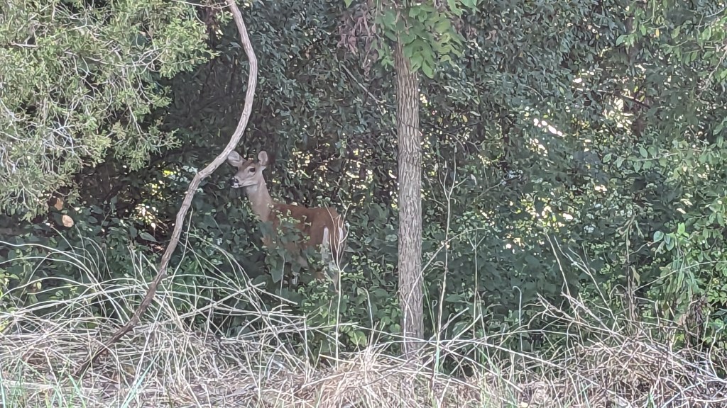
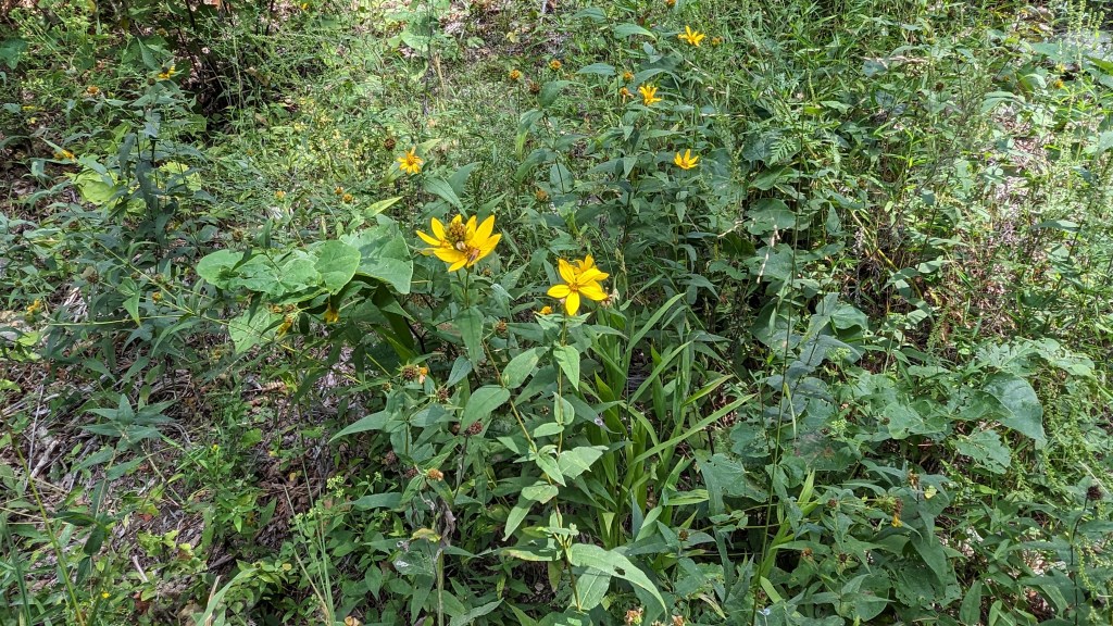
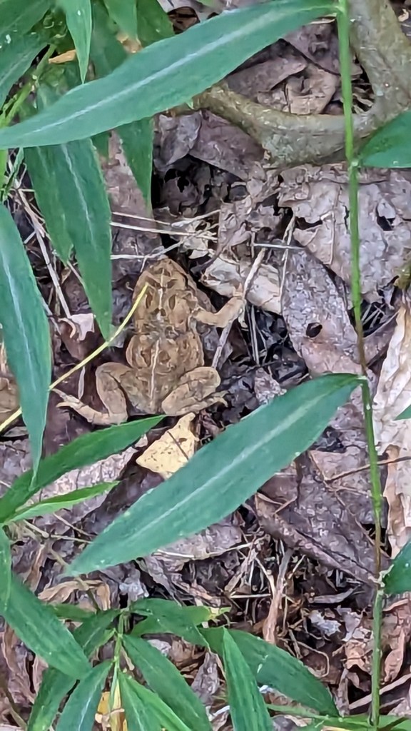
Surprisingly, I saw very little wildlife. I stopped and took photos of a few very small creatures along the way. In proximity of the Class A camping I saw plenty of squirrels, but not much elsewhere in the park. Then in the car just outside of the park gate I came across a doe just standing in the middle of the road. I came to a stop and she just hopped over to the trees along the side of the road. I pulled up to her and stopped long enough to get my phone out and take a photo. She just stood there waiting for me like a model. 4 plus hours of hiking, 6 hours over two weekends, and I was in my car when I got my best view of wildlife.
